Belsis Wood

Wood, Forest in East Lothian

Scotland

Belsis Wood

Road by Preston Mains Midlothian yellow road.
Road by Preston Mains Credit: Richard Webb

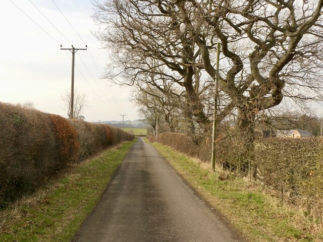
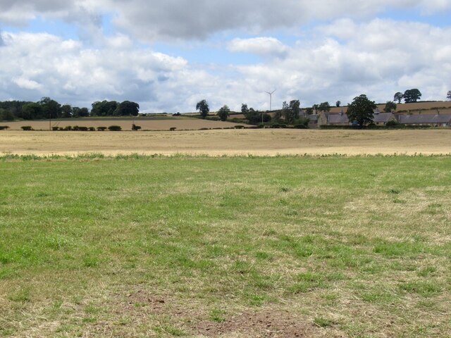
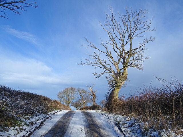
Belsis Wood is a picturesque forest located in East Lothian, Scotland. Nestled amidst rolling hills and lush greenery, this woodland is a haven for nature enthusiasts and outdoor adventurers alike. Covering an area of approximately 300 acres, Belsis Wood offers a tranquil escape from the hustle and bustle of urban life.

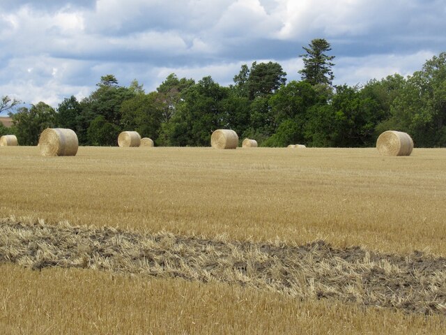
The forest is predominantly composed of native tree species, including oak, birch, and beech. These towering trees provide a rich habitat for a diverse array of wildlife, making Belsis Wood a popular destination for birdwatchers and animal lovers. Visitors may spot species such as red squirrels, roe deer, and a variety of woodland birds during their exploration of the area.

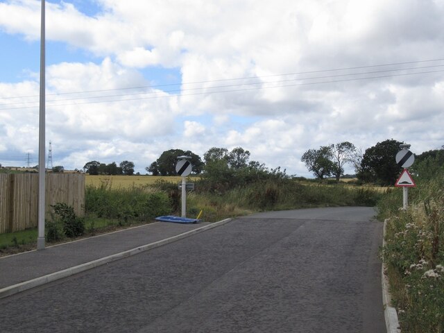
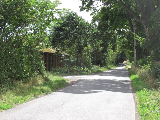
A network of well-maintained trails meanders through Belsis Wood, allowing visitors to fully immerse themselves in the natural beauty of the surroundings. These paths cater to all levels of fitness and are suitable for both leisurely strolls and more challenging hikes. Along the way, visitors can enjoy breathtaking views of the surrounding countryside and discover hidden gems such as babbling brooks and enchanting clearings.

For those seeking a peaceful spot to relax, several picnic areas are dotted throughout the forest, providing the perfect opportunity to enjoy a packed lunch amidst the serenity of nature. Additionally, Belsis Wood offers a camping area for those wishing to extend their stay and experience the magic of the forest under a starry sky.

Overall, Belsis Wood is a captivating woodland that showcases the beauty of East Lothian's natural landscape. It is a place where visitors can reconnect with nature, explore scenic trails, and appreciate the rich biodiversity that thrives in this idyllic setting.

If you have any feedback on the listing, please let us know in the comments section below.

Belsis Wood Images

Images are sourced within 2km of 55.895142/-2.9482879 or Grid Reference NT4067. Thanks to Geograph Open Source API. All images are credited.

Road by Preston Mains Midlothian yellow road.
Road by Preston Mains
Midlothian yellow road.
Limeylands Road, Ormiston Ormiston is expanding here.
Limeylands Road, Ormiston
Ormiston is expanding here.
Wildflower Crescent Wildflowers replaced by a biggish housing development, Ormiston.
Wildflower Crescent
Wildflowers replaced by a biggish housing development, Ormiston.
Scrub off Limeylands Road Presumably awaiting development and probably a legacy of the coalfield - some of the land once was used as a railway siding.
Scrub off Limeylands Road
Presumably awaiting development and probably a legacy of the coalfield - some of the land once was used as a railway siding.
Juniper Avenue New houses, Ormiston.
Juniper Avenue
New houses, Ormiston.
The current edge of Ormiston Limeylands Road, where a mineral railway once crossed.
The current edge of Ormiston
Limeylands Road, where a mineral railway once crossed.
Temporary road, The Murrays Work on the power line.
Temporary road, The Murrays
Work on the power line.
Power lines, The Murrays A complex arrangement of power lines one currently being refurbished.
Power lines, The Murrays
A complex arrangement of power lines one currently being refurbished.
Ormiston Mains
Ormiston Mains
Road, Templehall Today's road closure turned out to be a false alarm. Appears that they got the chipseal down with time to spare.
Road, Templehall
Today's road closure turned out to be a false alarm. Appears that they got the chipseal down with time to spare.
Flowering Thistles These Thistles just starting to flower were at the side of the track leading to Fountainhall at the west end of Big Wood.
Flowering Thistles
These Thistles just starting to flower were at the side of the track leading to Fountainhall at the west end of Big Wood.
Field of Cabbages A field of tasty looking cabbages west of Ormiston.
Field of Cabbages
A field of tasty looking cabbages west of Ormiston.
Arable land, Airfield
Site of Airfield Sawmill Timber is still handled here but I suspect it is now some form of factory. The building on the left is marked as a colliery on old maps.
Site of Airfield Sawmill
Timber is still handled here but I suspect it is now some form of factory. The building on the left is marked as a colliery on old maps.
Round bales, Preston
Country Road in Winter On the minor road from Ormiston to Melvin Hall with frozen snow meaning this hill is a treacherous proposition even on foot! Skeletal tree also showing what time of year it is.
Summer picture here taken from about where the tree is.
<a title="https://www.geograph.org.uk/photo/4430206" href="https://www.geograph.org.uk/photo/4430206">Link</a>
Country Road in Winter
On the minor road from Ormiston to Melvin Hall with frozen snow meaning this hill is a treacherous proposition even on foot! Skeletal tree also showing what time of year it is. Summer picture here taken from about where the tree is. Link
Old signpost on the A6093 Pathhead 2 3/8 miles
Dalkeith 5 7/8 miles
Edinburgh 12 3/8 miles
Lauder 16 7/8 miles
Ormiston 1 5/8 miles
Pencaitland 1 7/8 miles
Haddington 7 1/2 miles

I can certainly attest to the educational value of geograph, because I have learned from fellow geograph-er Richard West's contributions that this type of sign is known technically as a fingerpost.
Old signpost on the A6093
Pathhead 2 3/8 miles Dalkeith 5 7/8 miles Edinburgh 12 3/8 miles Lauder 16 7/8 miles Ormiston 1 5/8 miles Pencaitland 1 7/8 miles Haddington 7 1/2 miles I can certainly attest to the educational value of geograph, because I have learned from fellow geograph-er Richard West's contributions that this type of sign is known technically as a fingerpost.
Old signpost on the A6093 House O' Muir 7/8 miles
Templehall 2 miles
Peaston 2 1/4 miles
Humbie 5 3/8 miles
Old signpost on the A6093
House O' Muir 7/8 miles Templehall 2 miles Peaston 2 1/4 miles Humbie 5 3/8 miles
Show me another place!

Belsis Wood is located at Grid Ref: NT4067 (Lat: 55.895142, Lng: -2.9482879)

Unitary Authority: East Lothian

Police Authority: The Lothians and Scottish Borders

What 3 Words

///passing.commended.gave. Near Ormiston, East Lothian
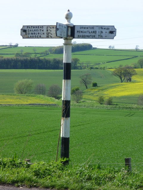
Related Wikis

Ormiston Castle

Ormiston Castle is a ruined 16th-century tower house, about 4 miles (6.4 km) east of Dalkeith, East Lothian, Scotland, and north of Ormiston Mains.It was...

Ormiston Primrose F.C.

Ormiston Primrose Football Club is a senior football club based in Ormiston, East Lothian, currently competing in the East of Scotland League Second Division...
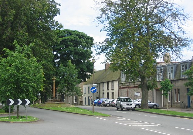
Ormiston

Ormiston is a village in East Lothian, Scotland, near Tranent, Humbie, Pencaitland and Cranston, located on the north bank of the River Tyne at an elevation...

Preston Hall, Midlothian

Preston Hall, or Prestonhall, is a late-18th-century mansion in Midlothian, to the south of Edinburgh, Scotland. It is located 1.5 kilometres (0.93 mi...

Ormiston railway station, Scotland

Ormiston railway station served the village of Ormiston, East Lothian, Scotland, from 1872 to 1933 on the Macmerry Branch. == History == The station was...

Oxenfoord Castle

Oxenfoord Castle is a country house in Midlothian, Scotland. It is located 1 kilometre (0.62 mi) north of Pathhead, Midlothian, and 6 kilometres (3.7 mi...

Peaston

Peaston is a small settlement on the B6371 road in the parish of Ormiston in East Lothian, Scotland, about 14 miles (23 km) south-east of Edinburgh, 7...

Cranston, Midlothian

Cranston is a parish of Midlothian, Scotland, lying 4+1⁄4 miles (6.8 kilometres) south-east of Dalkeith. It is bounded by the parishes of Inveresk and...

Nearby Amenities

Located within 500m of 55.895142,-2.9482879
West Byres Farm
Naptan AtcoCode: 627005030016
Naptan Bearing: NW
Naptan BusStopType: CUS
Naptan CommonName: West Byres Farm
Naptan Indicator: at Church
Naptan NaptanCode: 58234984
Naptan Street: B6371
Naptan Verified: no
Source: naptan_import
Lat/Long: 55.8964759/-2.949284
Toll Road End
Naptan AtcoCode: 627005030017
Naptan Bearing: NW
Naptan BusStopType: CUS
Naptan CommonName: Toll Road End
Naptan Indicator: at junction of B6371 and A6093
Naptan NaptanCode: 58234982
Naptan Street: B6371
Naptan Verified: no
Source: naptan_import
Lat/Long: 55.8974191/-2.9516419
West Byrs Farm
Naptan AtcoCode: 627005040016
Naptan Bearing: SE
Naptan BusStopType: CUS
Naptan CommonName: West Byrs Farm
Naptan Indicator: at Cemetery
Naptan NaptanCode: 58234985
Naptan Street: B6371
Naptan Verified: no
Source: naptan_import
Lat/Long: 55.8966029/-2.9491272
Toll Road End
Naptan AtcoCode: 627005040017
Naptan Bearing: SE
Naptan BusStopType: CUS
Naptan CommonName: Toll Road End
Naptan Indicator: at junction of B6371 with A6093
Naptan NaptanCode: 58234983
Naptan Street: B6371
Naptan Verified: no
Source: naptan_import
Lat/Long: 55.8975369/-2.9515169
Dovecot
Lat/Long: 55.8957681/-2.9411221
Design: barrel
Power: tower
Lat/Long: 55.8910113/-2.9483027
Design: barrel
Power: tower
Lat/Long: 55.8920601/-2.9469222
Design: barrel
Power: tower
Lat/Long: 55.8927937/-2.9522601
Design: barrel
Power: tower
Lat/Long: 55.8937298/-2.9511869
Design: barrel
Power: tower
Lat/Long: 55.895324/-2.9552403
Grave Yard
Ormiston Church Graveyard (Site of)
Lat/Long: 55.8972855/-2.9430541
Ormiston Church
Historic: ruins
Source: https://canmore.org.uk/site/54722/ormiston-hall-st-giles-church-and-churchyard
Lat/Long: 55.8977455/-2.9429036
Power: pole
Lat/Long: 55.8958468/-2.9556142
Power: pole
Lat/Long: 55.8961751/-2.9543057
Power: pole
Lat/Long: 55.8965642/-2.9534451
Power: pole
Lat/Long: 55.8970666/-2.952645
Power: pole
Lat/Long: 55.8975561/-2.9518803
Power: pole
Lat/Long: 55.8976413/-2.9517698
Power: pole
Lat/Long: 55.8983131/-2.9509822
Power: pole
Lat/Long: 55.8989918/-2.9502154
Power: pole
Lat/Long: 55.8995876/-2.9493298
Power: pole
Lat/Long: 55.8918814/-2.9442707
Power: pole
Lat/Long: 55.8924551/-2.9449729
Power: pole
Lat/Long: 55.8931246/-2.9457647
Power: pole
Lat/Long: 55.8938116/-2.9463939
Power: pole
Lat/Long: 55.8945231/-2.9470336
Power: pole
Lat/Long: 55.895251/-2.9476962
Power: pole
Lat/Long: 55.8960163/-2.9470044
Power: pole
Lat/Long: 55.8964941/-2.9455625
Power: pole
Lat/Long: 55.8944418/-2.9413152
The data included in this document is from www.openstreetmap.org. The data is made available under ODbL.

Have you been to Belsis Wood?

Leave your review of Belsis Wood below (or comments, questions and feedback).