West Bradford

Settlement in Yorkshire Ribble Valley

England

West Bradford

Brungerley Bridge The B6274 from Slaidburn to Clitheroe crosses the River Ribble.
Brungerley Bridge Credit: Oliver Dixon

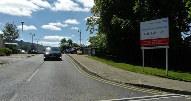
West Bradford is a small village located in the district of Ribble Valley, in the county of Yorkshire, England. Situated on the banks of the River Ribble, it is approximately 8 miles north of the town of Clitheroe and 9 miles west of the city of Bradford.

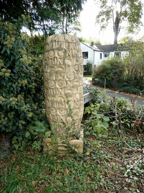
With a population of around 500 people, West Bradford is known for its picturesque countryside and charming rural character. The village is surrounded by rolling hills, lush green fields, and dense woodlands, offering residents and visitors a tranquil and scenic environment.

The village features a mix of architectural styles, ranging from traditional stone cottages to more modern buildings. One of the notable landmarks in West Bradford is the St. Catherine's Church, a Grade II listed building that dates back to the 12th century. The church's impressive tower and beautiful stained glass windows attract both tourists and locals.

The community in West Bradford is close-knit, with a strong sense of local pride. The village has a primary school, providing education for children in the area, and a village hall that serves as a hub for various social and recreational activities. There is also a pub, The Three Rivers, which offers a warm and welcoming atmosphere for locals and visitors to enjoy a drink or a meal.

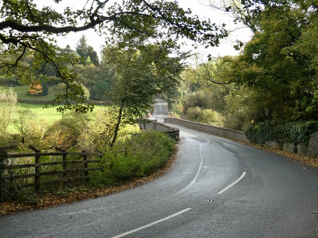
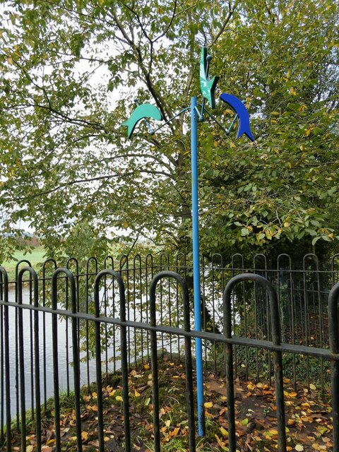
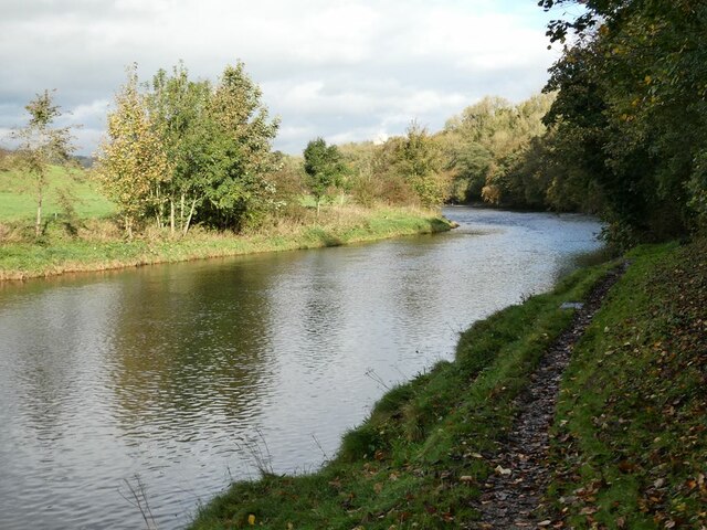
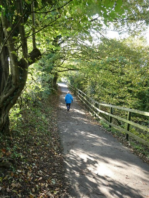
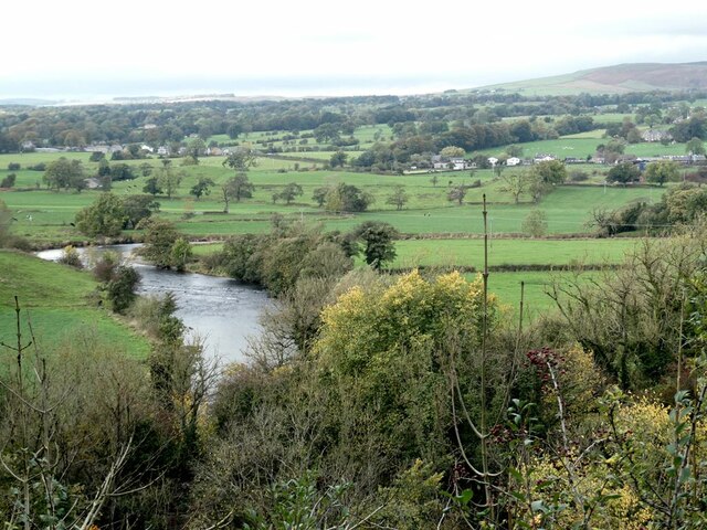
West Bradford's location near the River Ribble makes it a popular destination for outdoor enthusiasts. The river offers opportunities for fishing, boating, and scenic walks along its banks. Additionally, the village is well-connected to the wider region, with easy access to nearby towns and cities through major road networks.

Overall, West Bradford is a charming and peaceful village, offering its residents and visitors a close connection to nature and a strong sense of community.

If you have any feedback on the listing, please let us know in the comments section below.

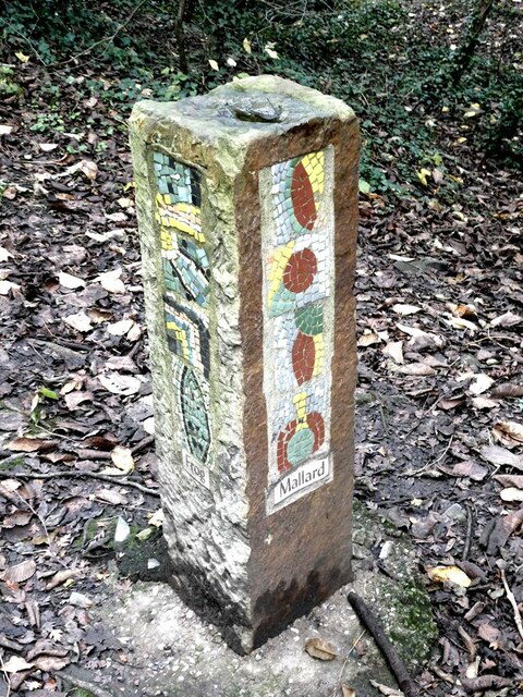
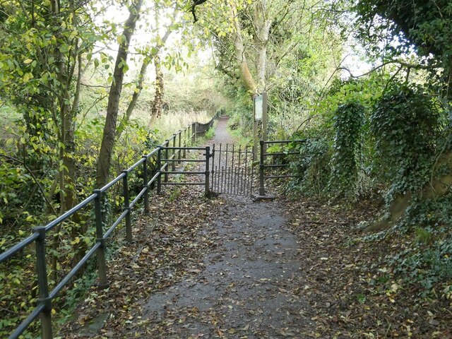
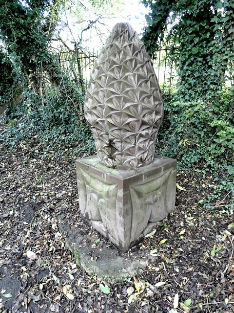
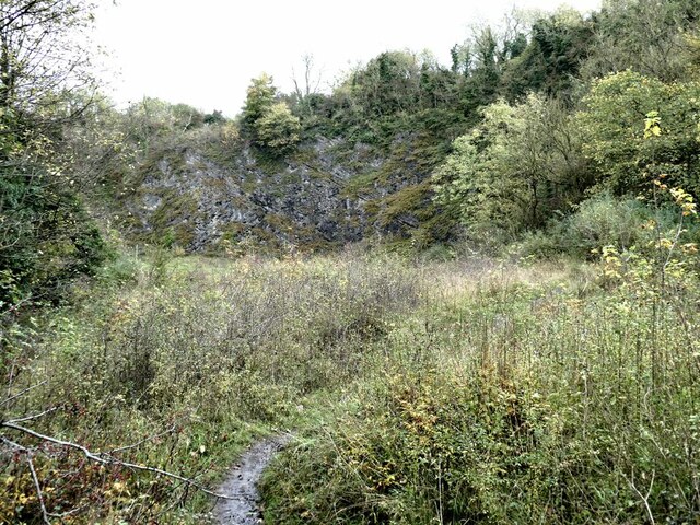
West Bradford Images

Images are sourced within 2km of 53.896335/-2.3900474 or Grid Reference SD7444. Thanks to Geograph Open Source API. All images are credited.

Brungerley Bridge The B6274 from Slaidburn to Clitheroe crosses the River Ribble.
Brungerley Bridge
The B6274 from Slaidburn to Clitheroe crosses the River Ribble.
"Alder Cone" Sculpture by Halima Cassell, one of the sculptures on the Ribble Valley Sculpture Trail. Dated 2009, this is one of the most recent sculptures on the Trail.
"Alder Cone"
Sculpture by Halima Cassell, one of the sculptures on the Ribble Valley Sculpture Trail. Dated 2009, this is one of the most recent sculptures on the Trail.
Fish mobile Sculpture by Julie Ann Seaman on the banks of the River Ribble, part of the Ribble Valley Sculpture Trail.
Fish mobile
Sculpture by Julie Ann Seaman on the banks of the River Ribble, part of the Ribble Valley Sculpture Trail.
River Ribble Looking upstream a short way above Brungerley Bridge.
River Ribble
Looking upstream a short way above Brungerley Bridge.
Path from Cross Hill Quarry to Brungerley Park The fence guards a long very steep drop down to the River Ribble.
Path from Cross Hill Quarry to Brungerley Park
The fence guards a long very steep drop down to the River Ribble.
"Lords and Ladies" Sculpture by Halima Cassell, one of the sculptures on the Ribble Valley Sculpture Trail. Dated 2009, this is one of the most recent sculptures on the Trail. It is constructed from over 100 intricately carved ceramic bricks and evokes the complex flower structure of the Lords and Ladies plant which can be found growing along the Trail.
"Lords and Ladies"
Sculpture by Halima Cassell, one of the sculptures on the Ribble Valley Sculpture Trail. Dated 2009, this is one of the most recent sculptures on the Trail. It is constructed from over 100 intricately carved ceramic bricks and evokes the complex flower structure of the Lords and Ladies plant which can be found growing along the Trail.
Mosaic Way Marker Sculpture by Paul Smith, one of three created in conjunction with Clitheroe school children through the Wildlife after School project. The four sides of the pillar each carry a mosaic representing examples of natural history to be found along this path; the two sides visible here depict Perch and Bee. Part of the Ribble Valley Sculpture Trail.
Mosaic Way Marker
Sculpture by Paul Smith, one of three created in conjunction with Clitheroe school children through the Wildlife after School project. The four sides of the pillar each carry a mosaic representing examples of natural history to be found along this path; the two sides visible here depict Perch and Bee. Part of the Ribble Valley Sculpture Trail.
Mosaic Way Marker Sculpture by Paul Smith, one of three created in conjunction with Clitheroe school children through the Wildlife after School project. The four sides of the pillar each carry a mosaic representing examples of natural history to be found along this path; the two sides visible here depict Trout and Heron. Part of the Ribble Valley Sculpture Trail.
Mosaic Way Marker
Sculpture by Paul Smith, one of three created in conjunction with Clitheroe school children through the Wildlife after School project. The four sides of the pillar each carry a mosaic representing examples of natural history to be found along this path; the two sides visible here depict Trout and Heron. Part of the Ribble Valley Sculpture Trail.
Mosaic Way Marker Sculpture by Paul Smith, one of three created in conjunction with Clitheroe school children through the Wildlife after School project. The four sides of the pillar each carry a mosaic representing examples of natural history to be found along this path; the two sides visible here depict Frog and Mallard. Part of the Ribble Valley Sculpture Trail.
Mosaic Way Marker
Sculpture by Paul Smith, one of three created in conjunction with Clitheroe school children through the Wildlife after School project. The four sides of the pillar each carry a mosaic representing examples of natural history to be found along this path; the two sides visible here depict Frog and Mallard. Part of the Ribble Valley Sculpture Trail.
Path past Cross Hill Quarry The railings protect the steep drop to the old quarry to the left.
Path past Cross Hill Quarry
The railings protect the steep drop to the old quarry to the left.
"Fir Cone" Sculpture by Halima Cassell, one of the sculptures on the Ribble Valley Sculpture Trail. Dated 2009, this is one of the most recent sculptures on the Trail. It is constructed from over 100 intricately carved ceramic bricks.
"Fir Cone"
Sculpture by Halima Cassell, one of the sculptures on the Ribble Valley Sculpture Trail. Dated 2009, this is one of the most recent sculptures on the Trail. It is constructed from over 100 intricately carved ceramic bricks.
Cross Hill Quarry Abandoned limestone quarry, now part of a wildlife trail.
Cross Hill Quarry
Abandoned limestone quarry, now part of a wildlife trail.
"Otter" Sculpture by Fiona Bowley on the Ribble Valley Sculpture Trail.
"Otter"
Sculpture by Fiona Bowley on the Ribble Valley Sculpture Trail.
"The Ribble King" This sculpture of a Kingfisher by Matthew Roby is the most imaginative of the sculptures on the Ribble Valley Sculpture Trail. Beyond is a fine view of the Ribble Valley and the Bowland Fells.
"The Ribble King"
This sculpture of a Kingfisher by Matthew Roby is the most imaginative of the sculptures on the Ribble Valley Sculpture Trail. Beyond is a fine view of the Ribble Valley and the Bowland Fells.
View of the Ribble Valley Seen from a viewpoint at the top of Cross Hill Quarry. West Bradford village to the right in the middle distance.
View of the Ribble Valley
Seen from a viewpoint at the top of Cross Hill Quarry. West Bradford village to the right in the middle distance.
Felled tree near Cross Hill Quarry
Owl bench near Cross Hill Quarry
Main entrance to Clitheroe Community Hospital On the A671.
Main entrance to Clitheroe Community Hospital
On the A671.
Show me another place!

West Bradford is located at Grid Ref: SD7444 (Lat: 53.896335, Lng: -2.3900474)

Division: West Riding

Administrative County: Lancashire

District: Ribble Valley

Police Authority: Lancashire

What 3 Words

///galloping.anode.soils. Near Waddington, Lancashire

Related Wikis

West Bradford, Lancashire

West Bradford is a village and civil parish in Lancashire, England, 2.5 miles (4 km) north of Clitheroe. The population at the 2011 census was 788. It...

Eaves Hall

Eaves Hall was built in 1864 for John Burton (1809–1879), first son of James Burton and a wealthy cotton mill-owner. Sold by the Burtons in 1938, having...

Moorland School

Moorland School is a selective independent day and boarding school situated in the Ribble Valley, Clitheroe in North West England. The original building...

St Helen's Church, Waddington

St Helen's Church is in the village of Waddington, Lancashire, England. It is an active Anglican parish church in the deanery of Whalley, the archdeaconry...

Nearby Amenities

Located within 500m of 53.896335,-2.3900474
West Bradford
Place: village
Lat/Long: 53.8972598/-2.3927459
Bench
Lat/Long: 53.8930419/-2.3854525
Bus Stop
Bus: yes
Naptan AtcoCode: 2500IMG2457
Naptan NaptanCode: langdapa
Public Transport: platform
Lat/Long: 53.8955928/-2.3929708
Bus Stop
Bus: yes
Public Transport: platform
Lat/Long: 53.8963259/-2.3902477
Telephone
Booth: KX200
Covered: booth
Lat/Long: 53.8963576/-2.390178
Post Box
Post Box Type: pillar
Lat/Long: 53.896446/-2.3899661
Power: pole
Lat/Long: 53.8927254/-2.3863614
Power: pole
Lat/Long: 53.8936358/-2.3855031
Power: pole
Lat/Long: 53.8944766/-2.3847359
Power: pole
Lat/Long: 53.8950962/-2.3841083
Power: pole
Lat/Long: 53.8958375/-2.3834378
Power: pole
Lat/Long: 53.8967004/-2.3828986
Generator Method: photovoltaic
Generator Output Electricity: yes
Generator Source: solar
Generator Type: solar_photovoltaic_panel
Location: roof
Power: generator
Lat/Long: 53.8953948/-2.3920384
Generator Method: photovoltaic
Generator Output Electricity: yes
Generator Source: solar
Generator Type: solar_photovoltaic_panel
Location: roof
Power: generator
Lat/Long: 53.8953885/-2.387999
Generator Method: photovoltaic
Generator Output Electricity: yes
Generator Source: solar
Generator Type: solar_photovoltaic_panel
Location: roof
Power: generator
Lat/Long: 53.8956761/-2.3875028
Generator Method: photovoltaic
Generator Output Electricity: yes
Generator Source: solar
Generator Type: solar_photovoltaic_panel
Location: roof
Power: generator
Lat/Long: 53.8954359/-2.3873016
Generator Method: photovoltaic
Generator Output Electricity: yes
Generator Source: solar
Generator Type: solar_photovoltaic_panel
Location: roof
Power: generator
Lat/Long: 53.8962862/-2.3870388
Generator Method: photovoltaic
Generator Output Electricity: yes
Generator Source: solar
Generator Type: solar_photovoltaic_panel
Location: roof
Power: generator
Lat/Long: 53.8962767/-2.3898792
Generator Method: photovoltaic
Generator Output Electricity: yes
Generator Source: solar
Generator Type: solar_photovoltaic_panel
Location: roof
Power: generator
Lat/Long: 53.8963052/-2.3897693
Generator Method: photovoltaic
Generator Output Electricity: yes
Generator Source: solar
Generator Type: solar_photovoltaic_panel
Location: roof
Power: generator
Lat/Long: 53.8964835/-2.3890732
Generator Method: photovoltaic
Generator Output Electricity: yes
Generator Source: solar
Generator Type: solar_photovoltaic_panel
Location: roof
Power: generator
Lat/Long: 53.8975011/-2.3895332
Generator Method: photovoltaic
Generator Output Electricity: yes
Generator Source: solar
Generator Type: solar_photovoltaic_panel
Location: roof
Power: generator
Lat/Long: 53.8969353/-2.3903272
Generator Method: photovoltaic
Generator Output Electricity: yes
Generator Source: solar
Generator Type: solar_photovoltaic_panel
Location: roof
Power: generator
Lat/Long: 53.8985445/-2.3902863
The data included in this document is from www.openstreetmap.org. The data is made available under ODbL.

Have you been to West Bradford?

Leave your review of West Bradford below (or comments, questions and feedback).