Bradley, West
Settlement in Somerset Mendip
England
Bradley, West
Bradley is a small village located in the West Somerset district of Somerset, England. Situated approximately 4 miles south-west of the town of Taunton, Bradley is nestled within the picturesque countryside of the county. The village is part of the civil parish of West Monkton and benefits from its tranquil and rural setting.
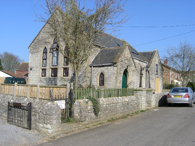
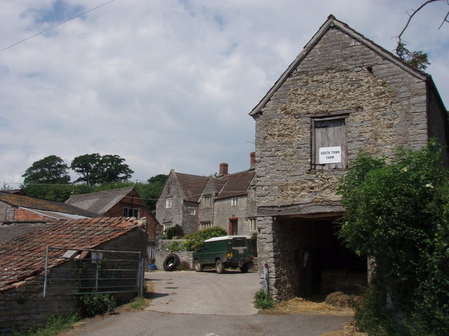
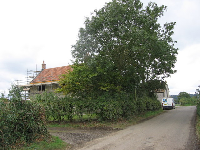
With a population of just over 500 residents, Bradley offers a close-knit and friendly community atmosphere. The village is characterized by its charming collection of traditional stone cottages and buildings, many of which date back several centuries. These historical structures add to the village's overall charm and give it a distinct sense of heritage.
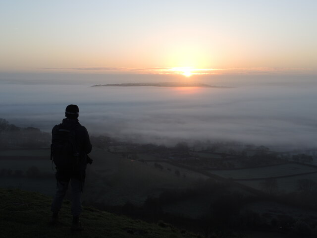
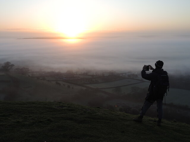
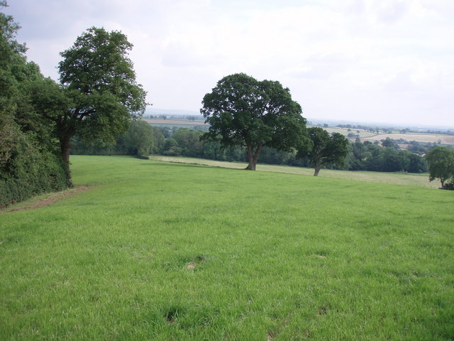
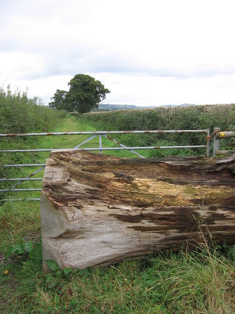
Bradley is surrounded by rolling hills and lush green fields, making it an ideal location for those seeking a peaceful and idyllic setting. The nearby Quantock Hills, designated as an Area of Outstanding Natural Beauty, offer stunning views and ample opportunities for outdoor activities such as hiking, cycling, and horse riding.
Despite its small size, Bradley boasts a few amenities for its residents, including a village hall and a local pub. For additional services and facilities, residents can easily access the nearby town of Taunton, which offers a wide range of shops, restaurants, schools, and healthcare facilities.
Overall, Bradley, West Somerset is a charming village that offers a rural and tranquil lifestyle, surrounded by natural beauty and a close-knit community.
If you have any feedback on the listing, please let us know in the comments section below.
Bradley, West Images
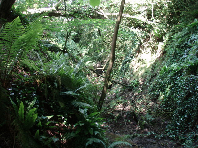
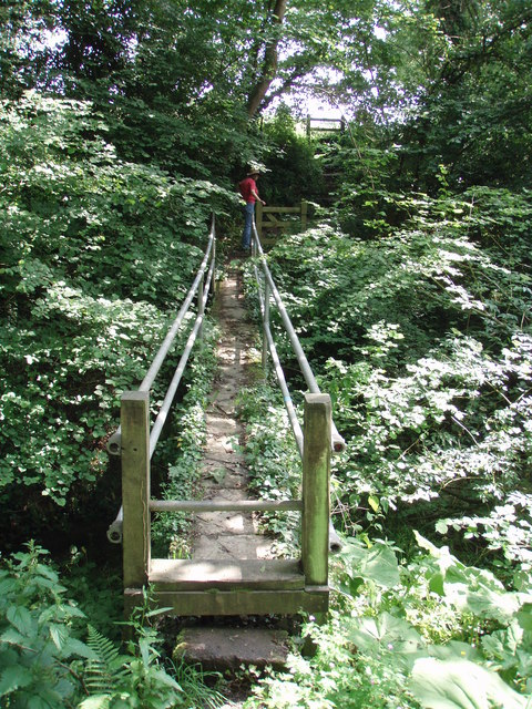
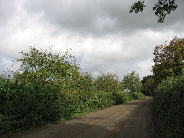
Images are sourced within 2km of 51.130663/-2.625456 or Grid Reference ST5637. Thanks to Geograph Open Source API. All images are credited.
Bradley, West is located at Grid Ref: ST5637 (Lat: 51.130663, Lng: -2.625456)
Administrative County: Somerset
District: Mendip
Police Authority: Avon and Somerset
What 3 Words
///rollover.tasty.partly. Near Glastonbury, Somerset
Nearby Locations
Related Wikis

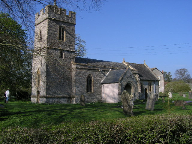
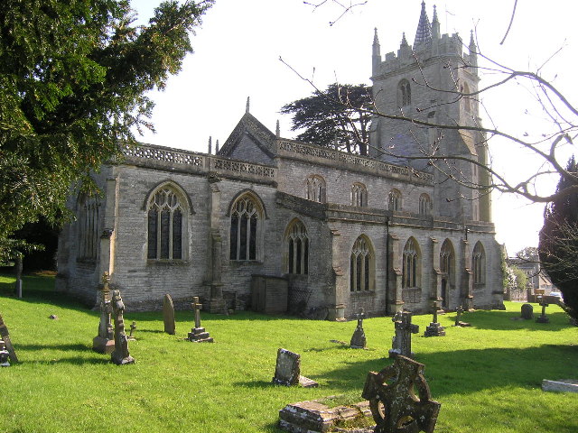
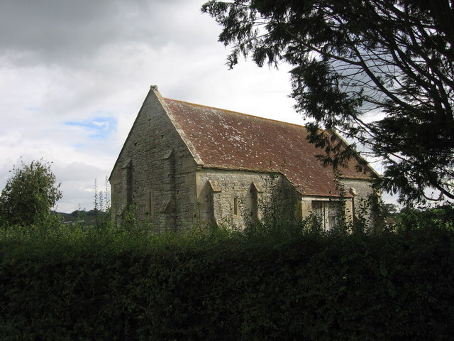
Church of St Andrew, West Bradley
The Anglican Church of St Andrew in West Bradley, within the English county of Somerset, dates from the 14th century. It is a Grade II* listed building...

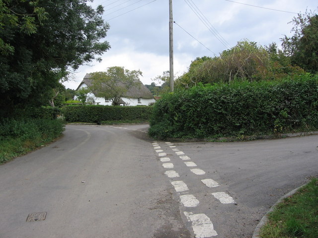
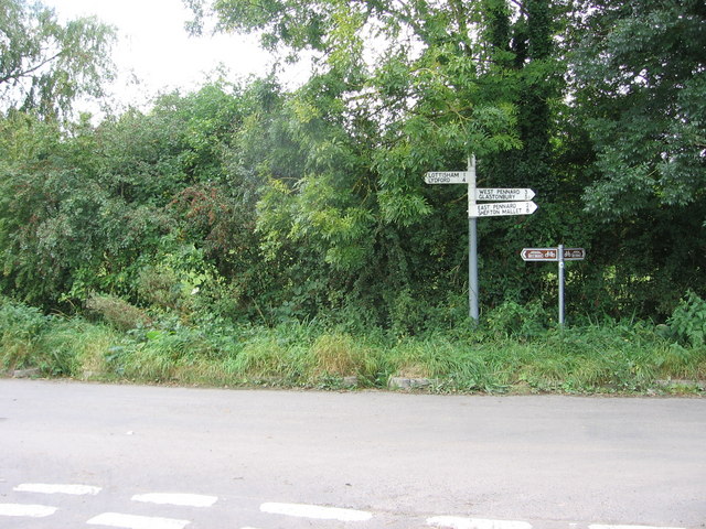
West Bradley
West Bradley is a village and civil parish 4 miles south-east of Glastonbury in Somerset, England. The parish includes the hamlets of Hornblotton and Lottisham...

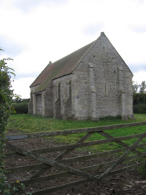
West Pennard Court Barn
West Pennard Court Barn (which is also known as the Court Barn, West Bradley) is a late 14th or early 15th century tithe barn which was built for Glastonbury...

Church of St Mary, West Bradley
The Anglican Church of St Mary in Lottisham, West Bradley, Somerset, England, was built in 1876. It is a Grade II* listed building. == History == The church...
Nearby Amenities
Located within 500m of 51.130663,-2.625456Have you been to Bradley, West?
Leave your review of Bradley, West below (or comments, questions and feedback).