Washing Stones Gully
Valley in Somerset Mendip
England
Washing Stones Gully
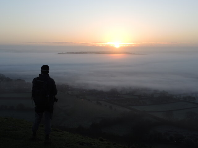
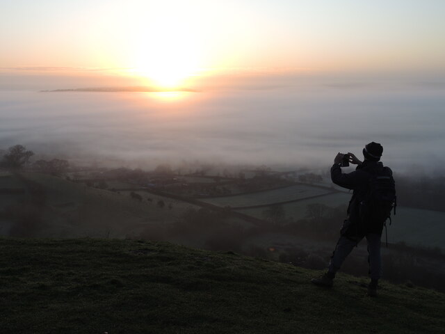
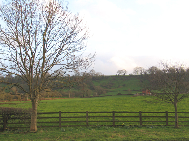
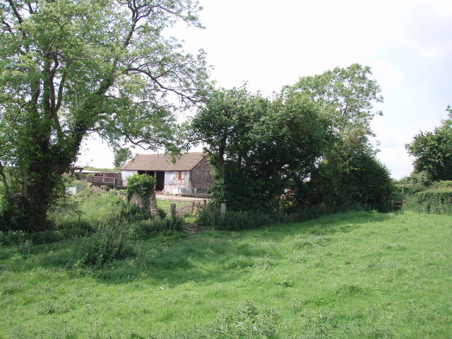
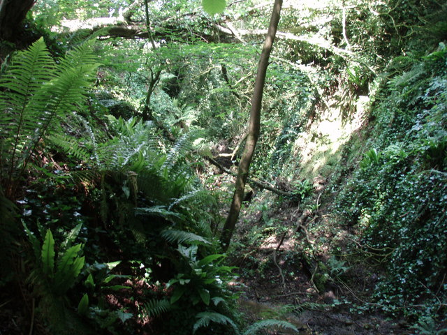
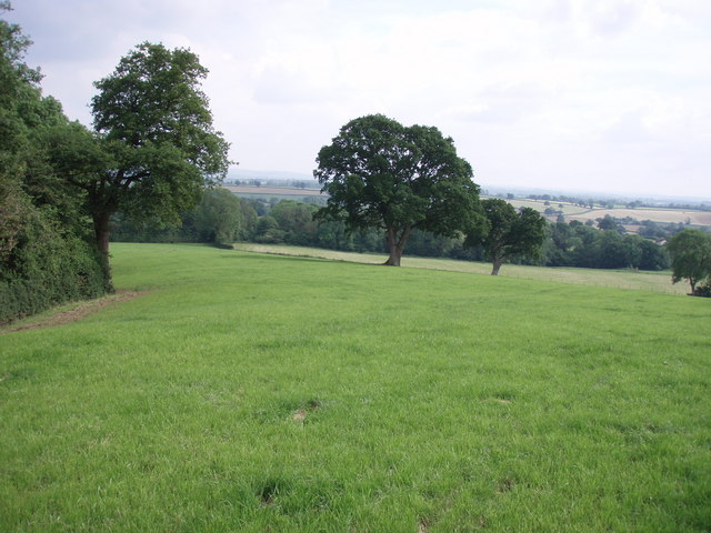
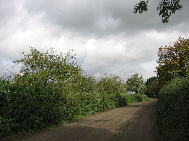
Washing Stones Gully, located in Somerset, England, is a picturesque valley renowned for its natural beauty and historical significance. Situated within the Mendip Hills, this tranquil destination offers visitors a unique combination of stunning landscapes and fascinating geological features.
The name of the gully stems from the presence of large limestone boulders that were historically used as washing stones by local villagers. These stones, which are still visible today, provided a convenient surface for people to clean their laundry.
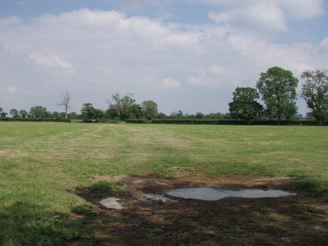
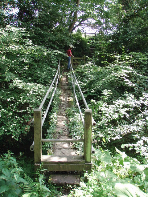
The gully is characterized by its steep slopes, which are carpeted with lush greenery, including a variety of trees and wildflowers. The surrounding area is abundant with wildlife, making it a popular spot for nature enthusiasts and birdwatchers.
For those interested in history, Washing Stones Gully holds great significance. It is believed that this area was once part of an ancient Roman settlement, with remnants of Roman roads and pottery fragments being discovered in the vicinity.
The gully is easily accessible via footpaths, which offer panoramic views of the surrounding countryside. Visitors can enjoy leisurely walks and hikes, immersing themselves in the tranquility of the valley. Additionally, the gully is a popular spot for picnics and photography, with its idyllic vistas providing the perfect backdrop for capturing memorable moments.
Overall, Washing Stones Gully in Somerset is a must-visit destination for nature lovers, history enthusiasts, and those seeking a peaceful retreat in the heart of the English countryside.
If you have any feedback on the listing, please let us know in the comments section below.
Washing Stones Gully Images
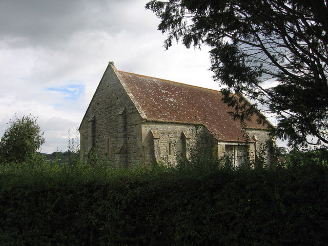
Images are sourced within 2km of 51.137555/-2.6266893 or Grid Reference ST5637. Thanks to Geograph Open Source API. All images are credited.
Washing Stones Gully is located at Grid Ref: ST5637 (Lat: 51.137555, Lng: -2.6266893)
Administrative County: Somerset
District: Mendip
Police Authority: Avon and Somerset
What 3 Words
///pelt.bookmark.senders. Near Glastonbury, Somerset
Nearby Locations
Related Wikis

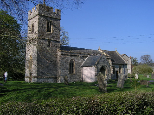
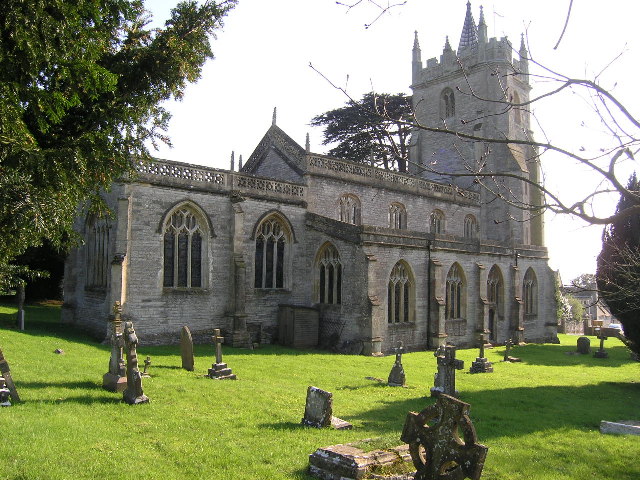
Church of St Andrew, West Bradley
The Anglican Church of St Andrew in West Bradley, within the English county of Somerset, dates from the 14th century. It is a Grade II* listed building...

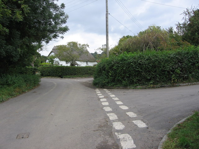
West Bradley
West Bradley is a village and civil parish 4 miles south-east of Glastonbury in Somerset, England. The parish includes the hamlets of Hornblotton and Lottisham...

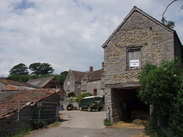
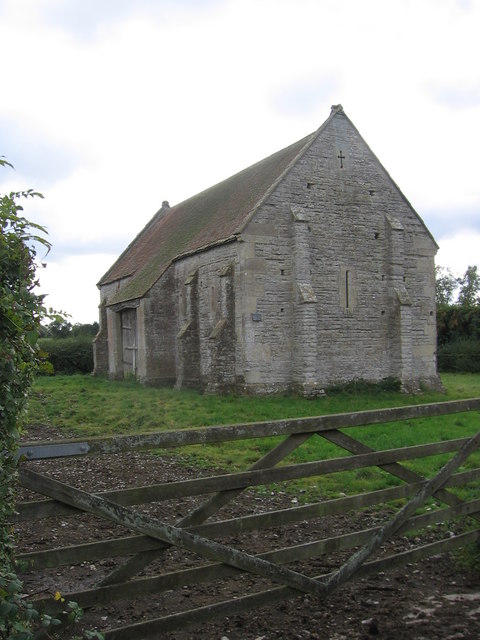
West Pennard Court Barn
West Pennard Court Barn (which is also known as the Court Barn, West Bradley) is a late 14th or early 15th century tithe barn which was built for Glastonbury...

West Pennard railway station
West Pennard railway station was a station on the Highbridge branch of the Somerset and Dorset Joint Railway. Opened on 3 February 1862, it was reduced...
Nearby Amenities
Located within 500m of 51.137555,-2.6266893Have you been to Washing Stones Gully?
Leave your review of Washing Stones Gully below (or comments, questions and feedback).