Mill Stream
Lake, Pool, Pond, Freshwater Marsh in Yorkshire Ribble Valley
England
Mill Stream
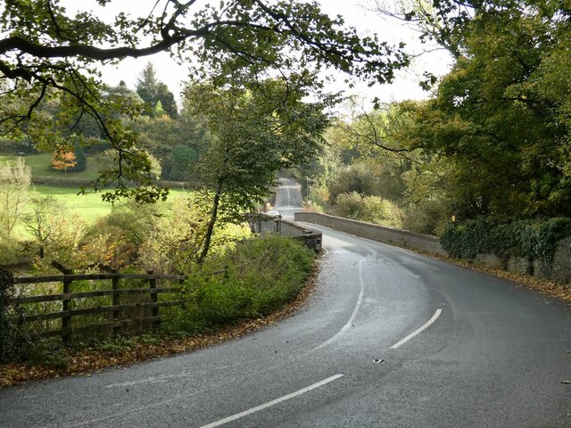
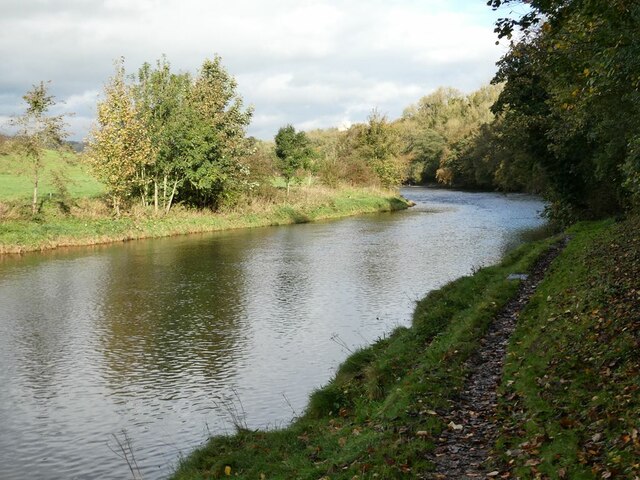
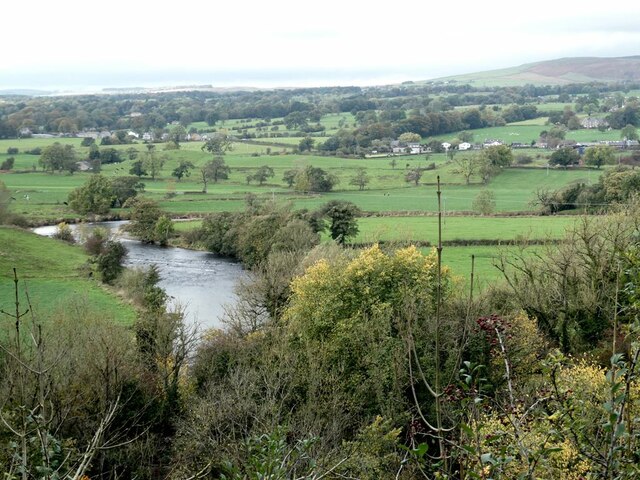
Mill Stream is a picturesque water body located in the scenic region of Yorkshire, England. It can be described as a small lake or pool, often referred to as a pond, encompassing an area of approximately one acre. The stream is fed by freshwater sources, primarily from nearby hills and natural springs, ensuring a constant flow of clean water.
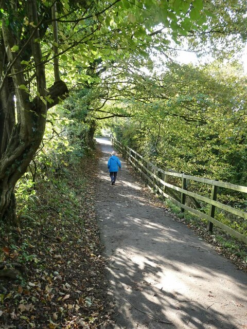
Surrounded by lush greenery and enchanting landscapes, the Mill Stream offers a tranquil and serene environment. The water is crystal clear, reflecting the vibrant colors of the surrounding vegetation, creating a mesmerizing sight. The banks of the stream are adorned with a variety of plant species, including reeds and water lilies, further enhancing the natural beauty of the area.
The Mill Stream is home to a diverse range of aquatic plants and animals, making it a thriving ecosystem. Freshwater marshes can be found along the edges of the stream, providing an ideal habitat for numerous species of birds, insects, and amphibians. Visitors can often spot ducks, swans, and various fish species navigating through the calm waters.
The tranquility of the Mill Stream makes it a popular destination for nature lovers, anglers, and photographers. It offers a peaceful retreat where visitors can relax, unwind, and appreciate the beauty of nature. Surrounding walking trails and picnic spots provide opportunities for recreational activities, making it an ideal location for family outings or a quiet escape from the bustling city life.
In summary, Mill Stream in Yorkshire is a small yet captivating freshwater body, brimming with natural beauty and diverse wildlife. Its serene atmosphere and picturesque surroundings make it a must-visit destination for anyone seeking a tranquil and immersive experience in nature.
If you have any feedback on the listing, please let us know in the comments section below.
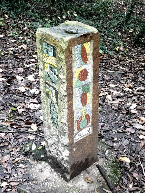
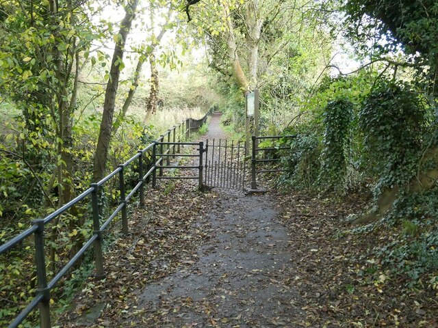
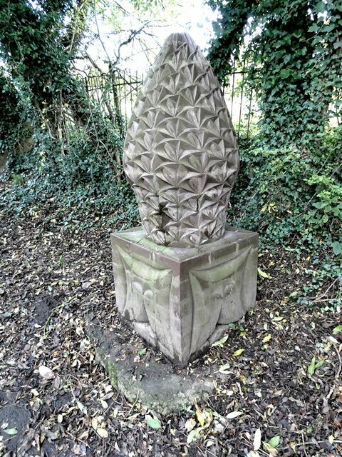
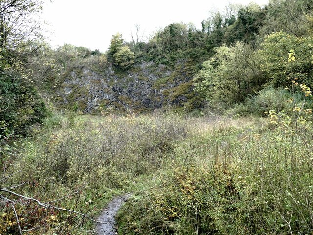
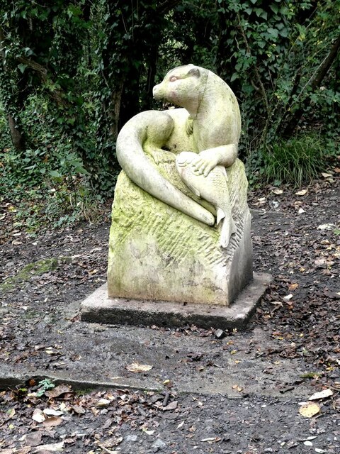
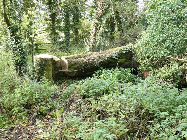
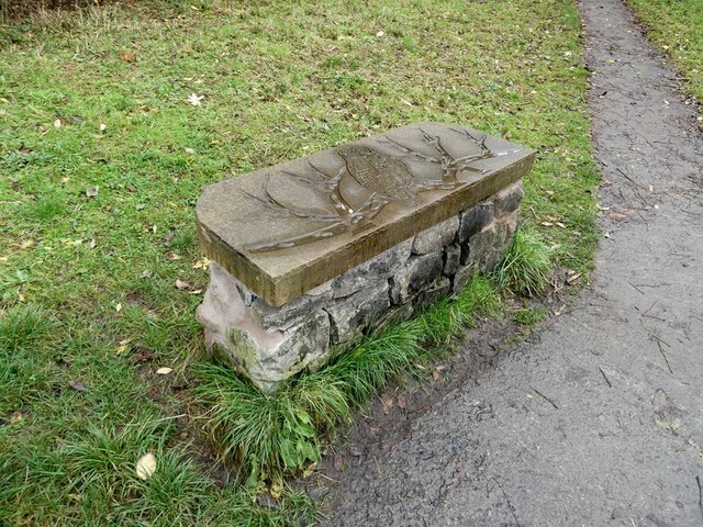
Mill Stream Images
Images are sourced within 2km of 53.89563/-2.3938908 or Grid Reference SD7444. Thanks to Geograph Open Source API. All images are credited.

Mill Stream is located at Grid Ref: SD7444 (Lat: 53.89563, Lng: -2.3938908)
Division: West Riding
Administrative County: Lancashire
District: Ribble Valley
Police Authority: Lancashire
What 3 Words
///dude.owned.slogged. Near Waddington, Lancashire
Nearby Locations
Related Wikis

West Bradford, Lancashire
West Bradford is a village and civil parish in Lancashire, England, 2.5 miles (4 km) north of Clitheroe. The population at the 2011 census was 788. It...

Eaves Hall
Eaves Hall was built in 1864 for John Burton (1809–1879), first son of James Burton and a wealthy cotton mill-owner.Sold by the Burtons in 1938, having...

St Helen's Church, Waddington
St Helen's Church is in the village of Waddington, Lancashire, England. It is an active Anglican parish church in the deanery of Whalley, the archdeaconry...

Moorland School
Moorland School is a selective independent day and boarding school situated in the Ribble Valley, Clitheroe in North West England. The original building...

Waddington, Lancashire
Waddington is a small village, 2 miles (3 km) north-west of Clitheroe in the Ribble Valley, Lancashire, England. The population of the civil parish at...

Waddow Hall
Waddow Hall is a 17th-century Grade II listed building within a 178-acre (72 ha) estate that serves as a conference and activity centre for Girlguiding...
Clitheroe Royal Grammar School
Clitheroe Royal Grammar School is a co-educational grammar school in the town of Clitheroe in Lancashire, England, formerly an all-boys school. It was...

Grindleton
Grindleton is a village and civil parish in the Ribble Valley district of the English county of Lancashire, formerly in the West Riding of Yorkshire. Its...
Related Videos
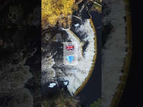
Hidden Gem in UK 🏴 | drone footage #shorts #nature #hiddengems #bucketlist
Ribble valley is known locally as Little Switzerland because of its beauty. Waddow weir is a hidden gem inside the valley and can ...
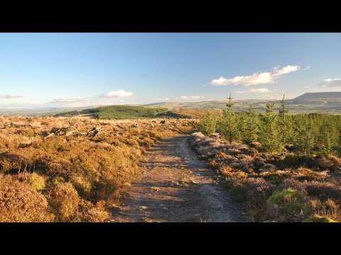
Grindleton Fell walk
short video of our walk over Grindleton Fells.
Cobble View Cottage, Waddington, Clitheroe
A cosy holiday cottage located in the quaint village of Waddington near Clitheroe. Cobble View is just a few minutes' drive to a ...

Waddington fell race 2023 // Forest of Bowland
Waddington fell race 2023, organised by Bowland fell runners. 7 miles long with 1370 ft elevation. Starts from Waddington village.
Nearby Amenities
Located within 500m of 53.89563,-2.3938908Have you been to Mill Stream?
Leave your review of Mill Stream below (or comments, questions and feedback).