Bradford, West
Settlement in Yorkshire Ribble Valley
England
Bradford, West
Bradford, located in West Yorkshire, England, is a vibrant city with a rich history and a diverse population of over 530,000 people. Nestled in the foothills of the Pennines, it is known for its stunning landscapes and picturesque scenery.
One of the city's most prominent landmarks is the majestic Bradford City Hall, a Grade I listed building that serves as the civic headquarters. The city is also home to numerous historical sites, including the impressive Bradford Cathedral, which dates back to the 15th century.
Bradford has a thriving cultural scene, with a plethora of museums and galleries. The National Science and Media Museum, located in the heart of the city, is a popular attraction that explores the fascinating world of photography, film, and television. The Bradford Industrial Museum showcases the city's industrial heritage, while the Cartwright Hall Art Gallery exhibits a diverse range of contemporary and traditional artworks.
The city is famous for its textile industry, particularly the production of wool and textiles. The former wool mills, now converted into residential or commercial spaces, are a testament to Bradford's industrial past. Today, the city continues to be a hub for the textile industry and is known for its high-quality fabrics.
Bradford is also renowned for its culinary delights, with a multitude of restaurants offering a variety of cuisines from around the world. The city's vibrant food scene reflects its multicultural population, with a strong influence from South Asian and Middle Eastern cultures.
In recent years, Bradford has seen significant regeneration efforts, resulting in the development of modern shopping centers, such as the Broadway Bradford, which boasts a wide range of high-street and designer brands. The city has also invested in improving its transportation infrastructure, making it easily accessible by road and rail.
Overall, Bradford, West Yorkshire, is a city that seamlessly blends its rich heritage with modern developments, offering residents and visitors a unique and vibrant experience.
If you have any feedback on the listing, please let us know in the comments section below.
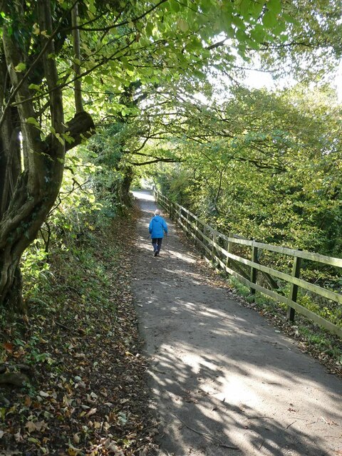
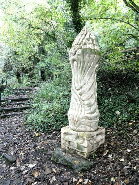
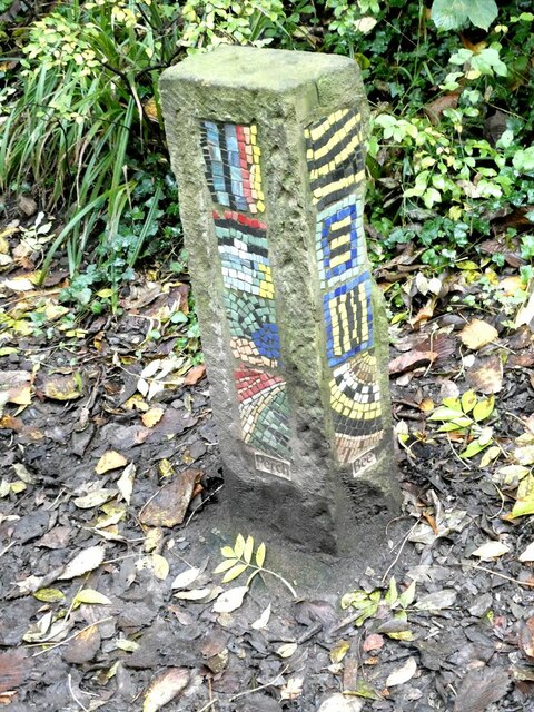
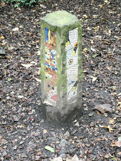
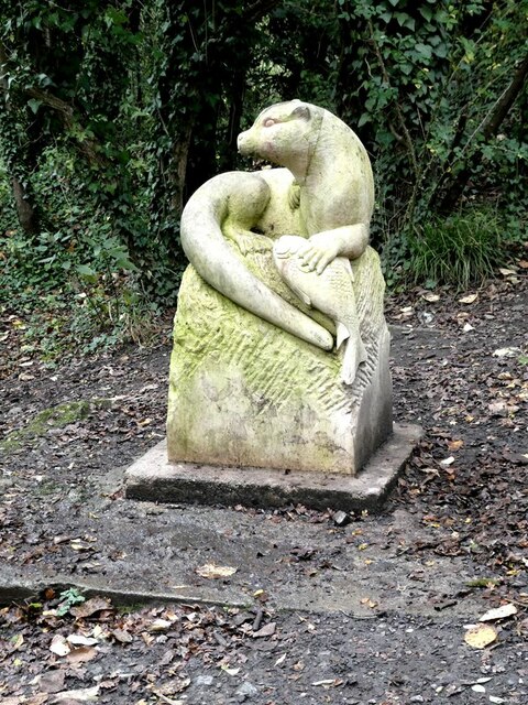
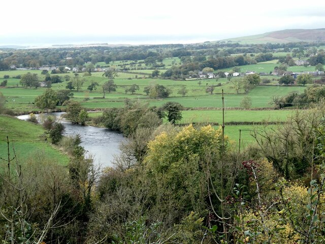
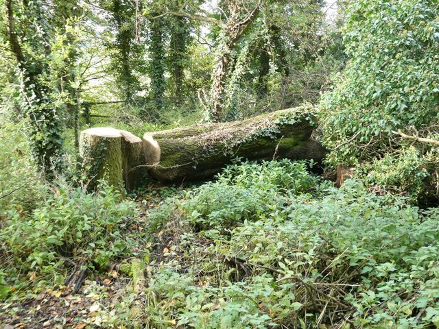
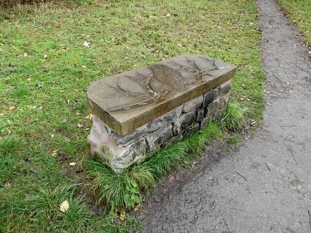
Bradford, West Images
Images are sourced within 2km of 53.896335/-2.3900474 or Grid Reference SD7444. Thanks to Geograph Open Source API. All images are credited.

Bradford, West is located at Grid Ref: SD7444 (Lat: 53.896335, Lng: -2.3900474)
Division: West Riding
Administrative County: Lancashire
District: Ribble Valley
Police Authority: Lancashire
What 3 Words
///galloping.anode.soils. Near Waddington, Lancashire
Nearby Locations
Related Wikis

West Bradford, Lancashire
West Bradford is a village and civil parish in Lancashire, England, 2.5 miles (4 km) north of Clitheroe. The population at the 2011 census was 788. It...

Eaves Hall
Eaves Hall was built in 1864 for John Burton (1809–1879), first son of James Burton and a wealthy cotton mill-owner.Sold by the Burtons in 1938, having...

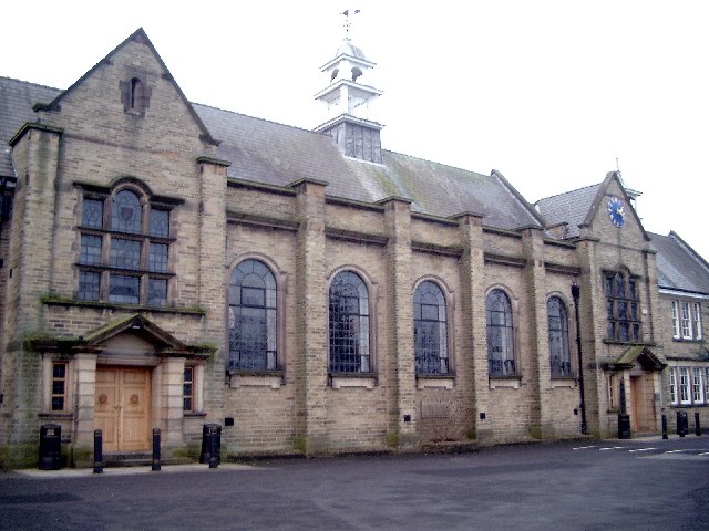
Moorland School
Moorland School is a selective independent day and boarding school situated in the Ribble Valley, Clitheroe in North West England. The original building...

St Helen's Church, Waddington
St Helen's Church is in the village of Waddington, Lancashire, England. It is an active Anglican parish church in the deanery of Whalley, the archdeaconry...

Grindleton
Grindleton is a village and civil parish in the Ribble Valley district of the English county of Lancashire, formerly in the West Riding of Yorkshire. Its...
Grindletonians
The Grindletonians were a Puritan sect that arose in the town of Grindleton in Lancashire, England, in around 1610. The sect remained active in the North...
Clitheroe Royal Grammar School
Clitheroe Royal Grammar School is a co-educational grammar school in the town of Clitheroe in Lancashire, England, formerly an all-boys school. It was...

Chatburn
Chatburn is a village, civil parish and electoral ward in the Ribble Valley, East Lancashire, England. The population of the civil parish at the 2011 census...
Related Videos
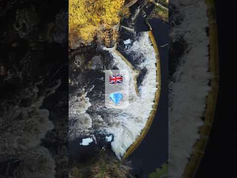
Hidden Gem in UK 🏴 | drone footage #shorts #nature #hiddengems #bucketlist
Ribble valley is known locally as Little Switzerland because of its beauty. Waddow weir is a hidden gem inside the valley and can ...
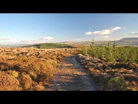
Grindleton Fell walk
short video of our walk over Grindleton Fells.
Cobble View Cottage, Waddington, Clitheroe
A cosy holiday cottage located in the quaint village of Waddington near Clitheroe. Cobble View is just a few minutes' drive to a ...

Waddington fell race 2023 // Forest of Bowland
Waddington fell race 2023, organised by Bowland fell runners. 7 miles long with 1370 ft elevation. Starts from Waddington village.
Nearby Amenities
Located within 500m of 53.896335,-2.3900474Have you been to Bradford, West?
Leave your review of Bradford, West below (or comments, questions and feedback).