Wellingore
Settlement in Lincolnshire North Kesteven
England
Wellingore
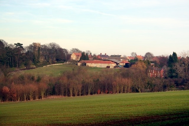
Wellingore is a small village located in the North Kesteven district of Lincolnshire, England. Situated approximately 10 miles south of the city of Lincoln, Wellingore is nestled in the picturesque Lincolnshire countryside. The village is surrounded by rolling hills, lush green fields, and charming country lanes, creating a tranquil and idyllic setting.
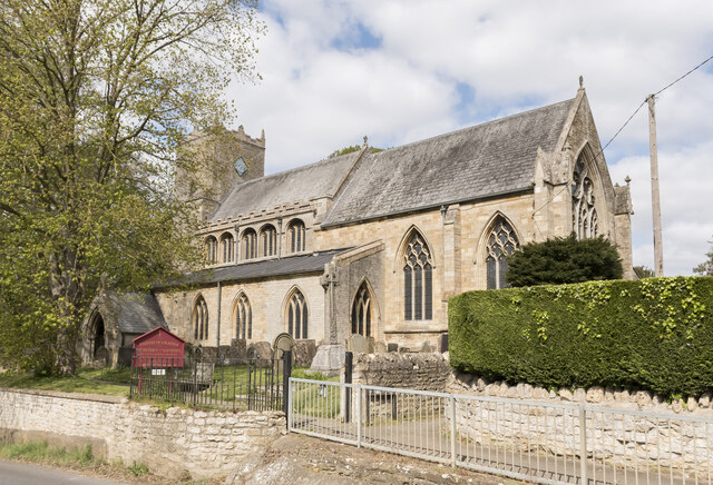
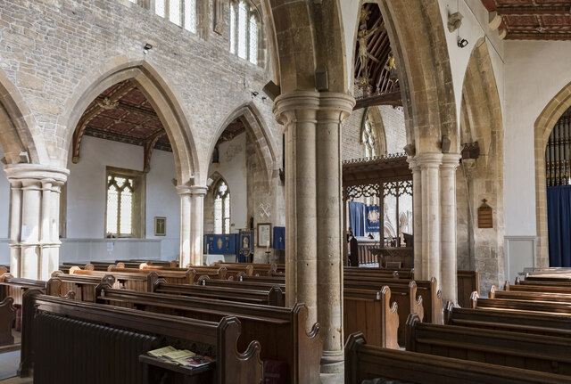
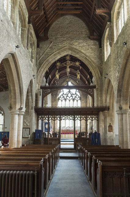
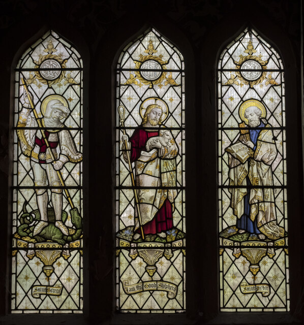
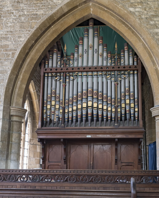
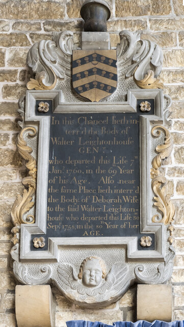
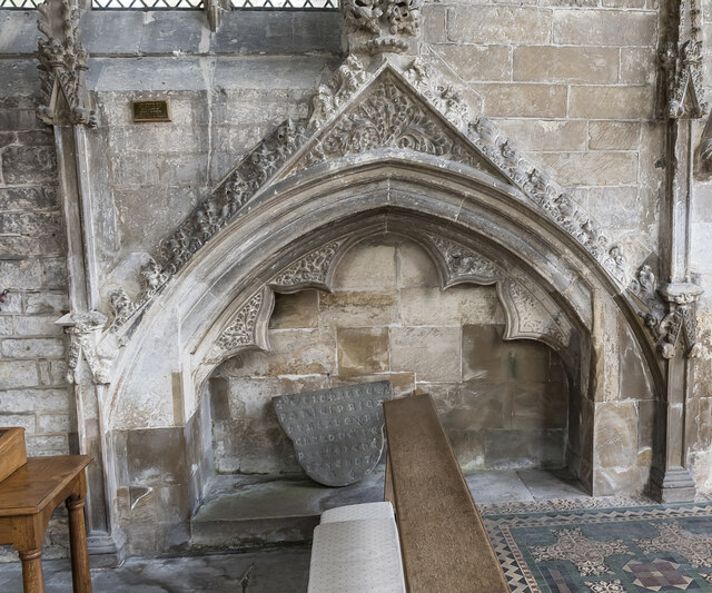
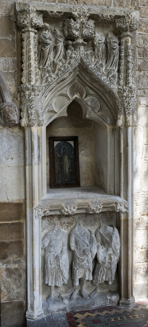
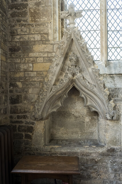
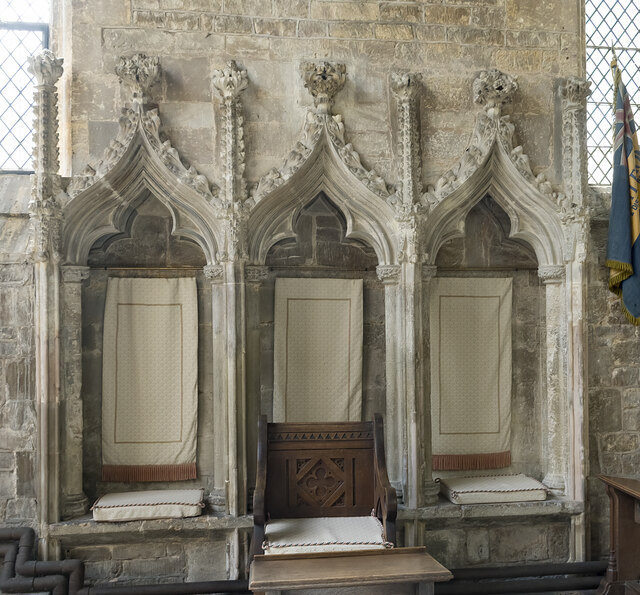
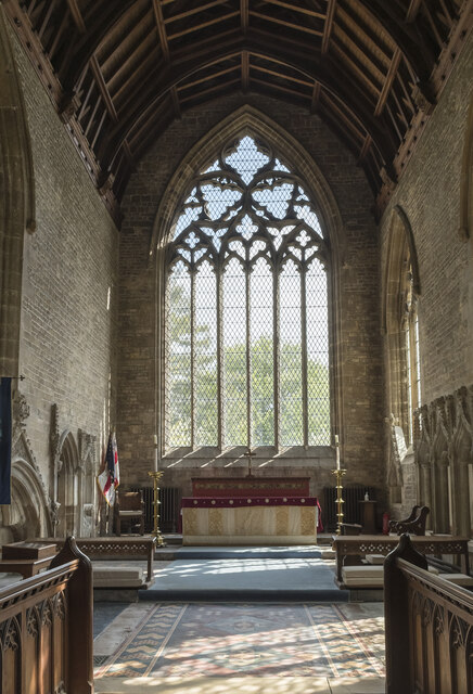
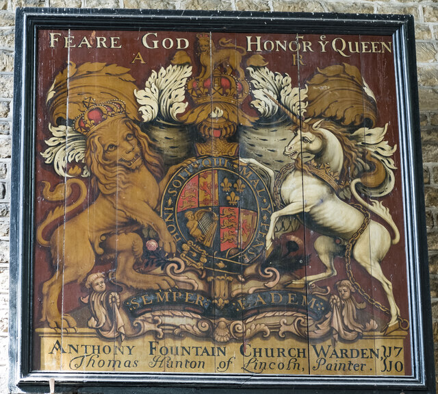
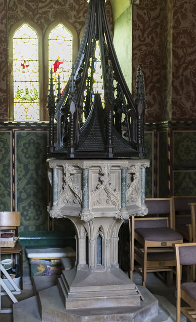
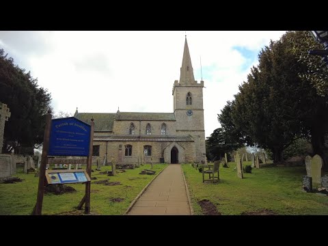
Wellingore has a rich history, with evidence of human habitation in the area dating back to Roman times. The village is home to several historic buildings, including St. Thomas of Canterbury Church, which dates back to the 13th century. The church features beautiful stained glass windows and a unique octagonal spire, making it a focal point of the village's skyline.
The village itself has a close-knit community and a range of amenities to cater to its residents. These include a primary school, village hall, post office, and a local pub, which serves as a popular meeting place for locals and visitors alike.
Wellingore also benefits from its proximity to the city of Lincoln. With its historic cathedral, medieval castle, and vibrant cultural scene, Lincoln offers a range of attractions and amenities just a short drive away. This allows residents of Wellingore to enjoy the tranquility of village life while still having easy access to the conveniences of a larger city.
Overall, Wellingore is a charming village that offers a peaceful and picturesque setting, a strong sense of community, and convenient access to nearby amenities.
If you have any feedback on the listing, please let us know in the comments section below.
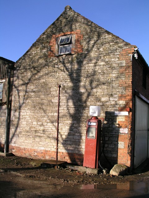
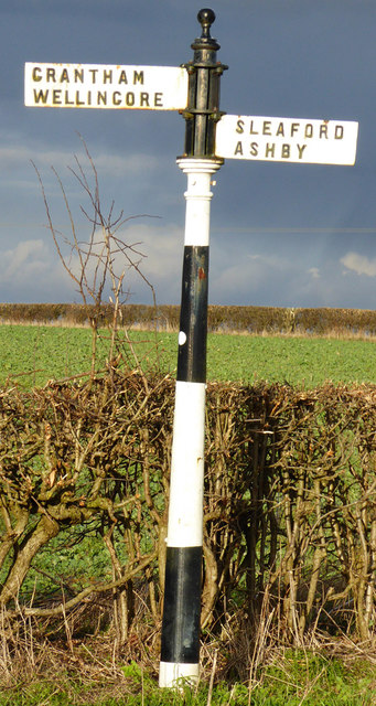
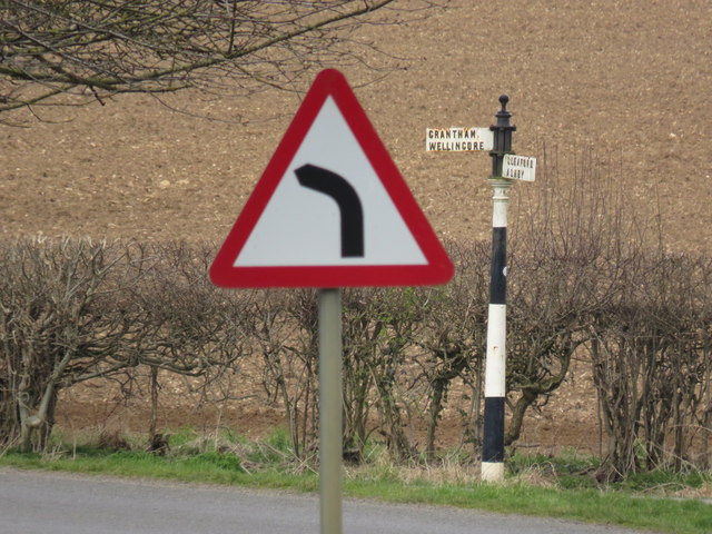
Wellingore Images
Images are sourced within 2km of 53.098258/-0.53240947 or Grid Reference SK9856. Thanks to Geograph Open Source API. All images are credited.

Wellingore is located at Grid Ref: SK9856 (Lat: 53.098258, Lng: -0.53240947)
Division: Parts of Kesteven
Administrative County: Lincolnshire
District: North Kesteven
Police Authority: Lincolnshire
What 3 Words
///risks.amending.classic. Near Navenby, Lincolnshire
Nearby Locations
Related Wikis

Wellingore
Wellingore is a village and civil parish in the North Kesteven district of Lincolnshire, England. The population of the civil parish at the 2011 census...
Navenby
Navenby is a village and civil parish in the North Kesteven district of Lincolnshire, England. Lying 8 miles (13 km) south from Lincoln and 9 miles (14...
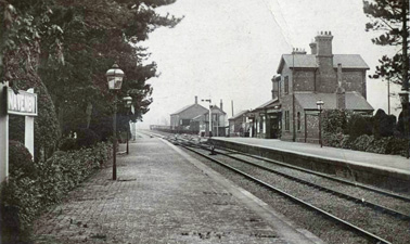
Navenby railway station
Navenby railway station was a railway station in Navenby, Lincolnshire on the Grantham and Lincoln railway line. The station closed for passengers in...
RAF Wellingore
Royal Air Force Wellingore or more simply RAF Wellingore is a former Royal Air Force fighter relief landing ground located 1.9 miles (3.1 km) south of...

Boothby Graffoe
Boothby Graffoe is a village and civil parish in the North Kesteven district of Lincolnshire, England. The population of the civil parish at the 2011 census...

Welbourn
Welbourn is a village and civil parish in the North Kesteven district of Lincolnshire, England. The population of the civil parish at the 2011 census was...

Somerton Castle
Somerton Castle is located approximately 1 mile (1.6 km) west of the village of Boothby Graffoe in Lincolnshire, England and to the south of the city of...

Thompson's Bottom
Thompson's Bottom is a hamlet in the North Kesteven district of Lincolnshire, England. It is situated just under 0.5 miles (0.8 km) west from the A15 road...
Related Videos
Navenby Village Walk, English Countryside 4K
https://www.buymeacoffee.com/Daveswalks All support is hugely appreciated and it helps me keep the channel going! No talking ...
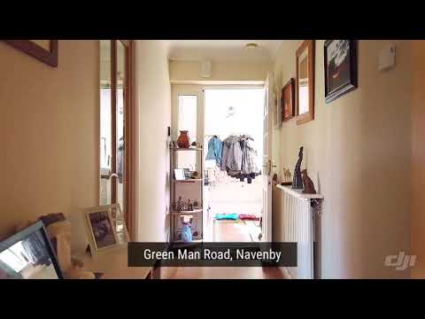
Green Man Road, Navenby
A well presented 3 bedroom detached bungalow in the popular village of Navenby. Enjoying a glorious sun trap of a garden, the ...
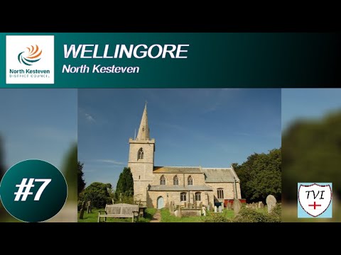
WELLINGORE: North Kesteven Parish #7 of 75
NORTH KESTEVEN PARISH #7: WELLINGORE Where Navenby left off, Wellingore will continue. Welcome to another pretty ...
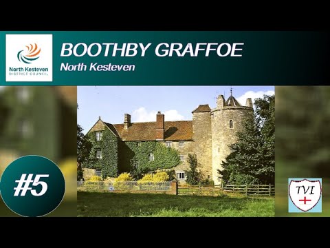
BOOTHBY GRAFFOE: North Kesteven Parish #5 of 75
NORTH KESTEVEN PARISH #5: BOOTHBY GRAFFOE Continuing through North Kesteven, now we come to Boothby Graffoe, the ...
Nearby Amenities
Located within 500m of 53.098258,-0.53240947Have you been to Wellingore?
Leave your review of Wellingore below (or comments, questions and feedback).