Wellingore Windmill Field
Downs, Moorland in Lincolnshire North Kesteven
England
Wellingore Windmill Field
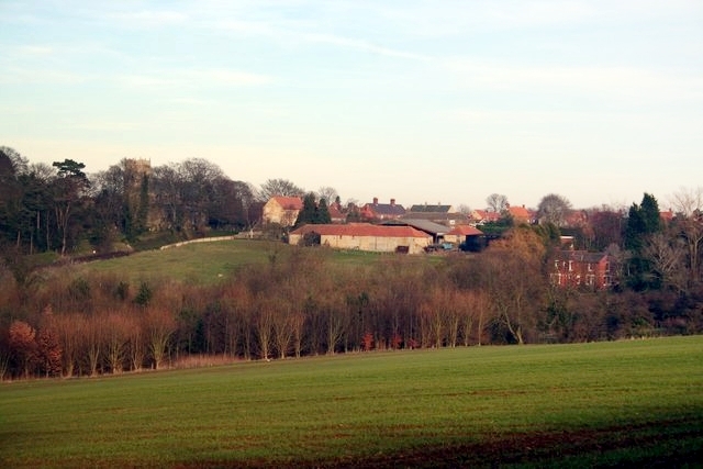
Wellingore Windmill Field is a picturesque area located in Lincolnshire, England. Situated amidst the stunning Downs and Moorland landscape, this field is known for its natural beauty and historical significance. The field is named after the prominent Wellingore Windmill, which stands proudly at its center.
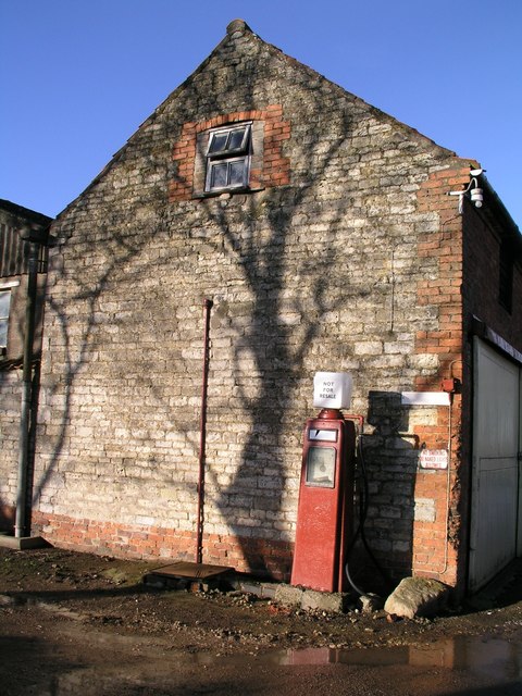
The Wellingore Windmill is a Grade II listed tower mill that dates back to the early 19th century. It was built in 1821 and served as a working mill for many years, grinding corn and producing flour for the local community. Today, the windmill stands as a charming landmark, attracting visitors from far and wide.
Surrounded by open fields and rolling hills, Wellingore Windmill Field offers visitors a peaceful and idyllic setting. The area is a haven for nature enthusiasts, with an abundance of flora and fauna to discover. The field is also a popular spot for picnics, family outings, and leisurely walks, offering breathtaking views of the surrounding countryside.
Additionally, the Wellingore Windmill Field is a hub for local events and activities. Throughout the year, the field hosts various festivals, fairs, and markets that showcase the rich heritage and culture of the region. These events provide an opportunity for both locals and tourists to immerse themselves in the vibrant atmosphere and experience the true essence of Lincolnshire.
Overall, Wellingore Windmill Field is a must-visit destination for those seeking a slice of rural charm and a chance to explore the natural beauty of Lincolnshire. Whether it is admiring the historic windmill, enjoying a leisurely stroll, or participating in local festivities, this field offers something for everyone.
If you have any feedback on the listing, please let us know in the comments section below.
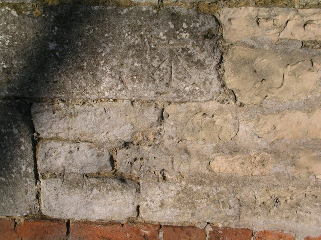
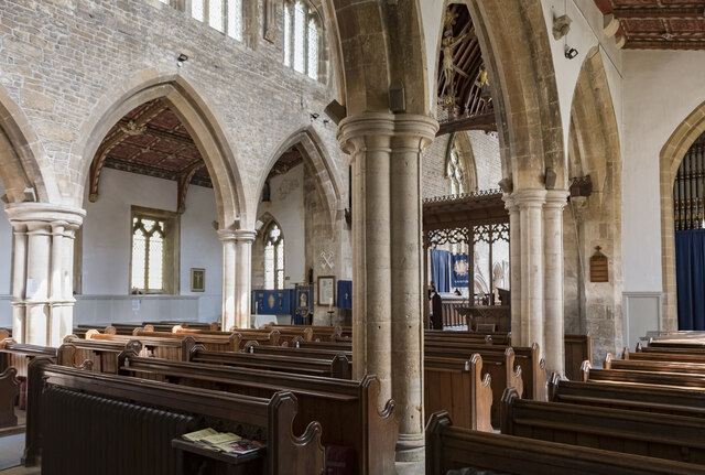
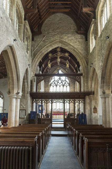
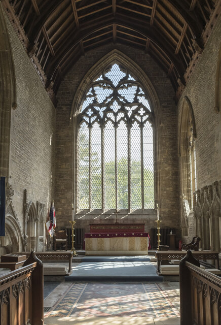
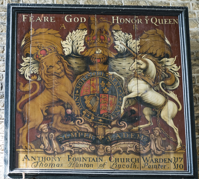
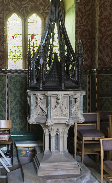
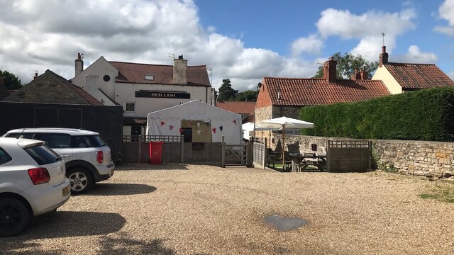
Wellingore Windmill Field Images
Images are sourced within 2km of 53.101053/-0.53085057 or Grid Reference SK9856. Thanks to Geograph Open Source API. All images are credited.


Wellingore Windmill Field is located at Grid Ref: SK9856 (Lat: 53.101053, Lng: -0.53085057)
Administrative County: Lincolnshire
District: North Kesteven
Police Authority: Lincolnshire
What 3 Words
///spouse.smarter.unlimited. Near Navenby, Lincolnshire
Nearby Locations
Related Wikis

Wellingore
Wellingore is a village and civil parish in the North Kesteven district of Lincolnshire, England. The population of the civil parish at the 2011 census...
Navenby
Navenby is a village and civil parish in the North Kesteven district of Lincolnshire, England. Lying 8 miles (13 km) south from Lincoln and 9 miles (14...
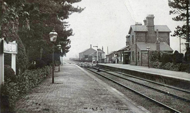
Navenby railway station
Navenby railway station was a railway station in Navenby, Lincolnshire on the Grantham and Lincoln railway line. The station closed for passengers in...

Boothby Graffoe
Boothby Graffoe is a village and civil parish in the North Kesteven district of Lincolnshire, England. The population of the civil parish at the 2011 census...
Nearby Amenities
Located within 500m of 53.101053,-0.53085057Have you been to Wellingore Windmill Field?
Leave your review of Wellingore Windmill Field below (or comments, questions and feedback).