Wellingore Park
Downs, Moorland in Lincolnshire North Kesteven
England
Wellingore Park
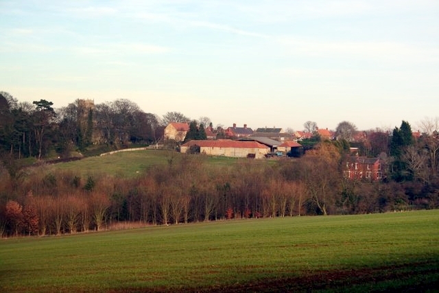
Wellingore Park is a picturesque estate located in Lincolnshire, England. Spread over a vast area, the park encompasses both downs and moorland, offering a diverse landscape for visitors to explore. With its stunning natural beauty, it has become a popular destination for nature lovers, hikers, and outdoor enthusiasts.
The park is well-known for its rolling downs, characterized by fertile grasslands and gentle slopes. These downs provide stunning panoramic views of the surrounding countryside and are perfect for leisurely walks or picnics. The lush greenery and colorful wildflowers that adorn the downs offer a delightful sight, especially during the spring and summer months.
In addition to the downs, Wellingore Park also boasts extensive moorland, characterized by its rugged terrain and heather-covered hills. This unique landscape provides a habitat for a variety of wildlife, including birds, small mammals, and reptiles. Exploring the moorland offers visitors a chance to observe these creatures in their natural habitat.
Wellingore Park is also home to a rich history, with remnants of ancient settlements and archaeological sites scattered throughout the area. These historical sites, combined with the natural beauty of the park, make it an ideal destination for history enthusiasts.
Overall, Wellingore Park in Lincolnshire offers visitors a chance to immerse themselves in the beauty of nature, explore diverse landscapes, and discover the rich history of the region. Whether it's hiking, wildlife spotting, or simply enjoying the tranquility of the countryside, Wellingore Park provides a memorable and enriching experience for all who visit.
If you have any feedback on the listing, please let us know in the comments section below.
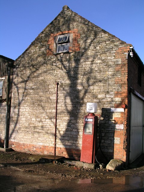
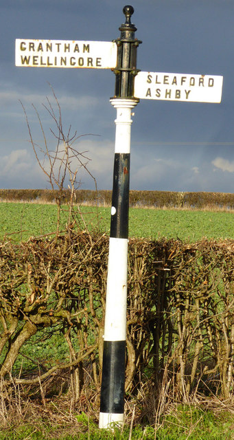
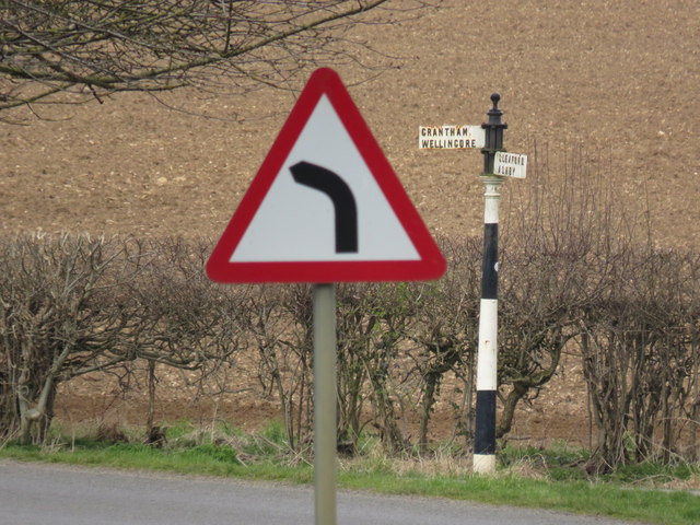
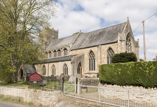
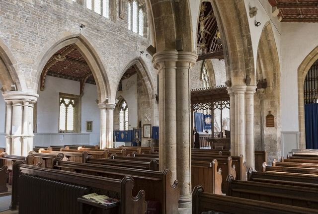
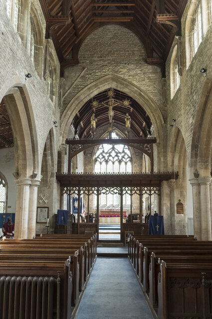
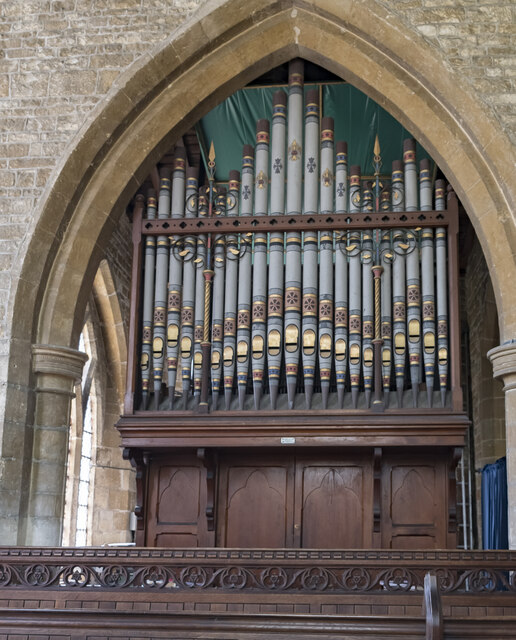
Wellingore Park Images
Images are sourced within 2km of 53.093875/-0.53423123 or Grid Reference SK9856. Thanks to Geograph Open Source API. All images are credited.


Wellingore Park is located at Grid Ref: SK9856 (Lat: 53.093875, Lng: -0.53423123)
Administrative County: Lincolnshire
District: North Kesteven
Police Authority: Lincolnshire
What 3 Words
///crinkled.ghost.packet. Near Navenby, Lincolnshire
Nearby Locations
Related Wikis

Wellingore
Wellingore is a village and civil parish in the North Kesteven district of Lincolnshire, England. The population of the civil parish at the 2011 census...
Navenby
Navenby is a village and civil parish in the North Kesteven district of Lincolnshire, England. Lying 8 miles (13 km) south from Lincoln and 9 miles (14...
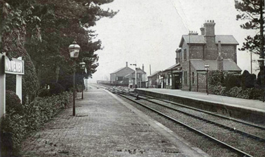
Navenby railway station
Navenby railway station was a railway station in Navenby, Lincolnshire on the Grantham and Lincoln railway line. The station closed for passengers in...
RAF Wellingore
Royal Air Force Wellingore or more simply RAF Wellingore is a former Royal Air Force fighter relief landing ground located 1.9 miles (3.1 km) south of...
Nearby Amenities
Located within 500m of 53.093875,-0.53423123Have you been to Wellingore Park?
Leave your review of Wellingore Park below (or comments, questions and feedback).