Wellington

Settlement in Cumberland Copeland

England

Wellington

A595 near Bridge Petton
A595 near Bridge Petton Credit: Colin Pyle

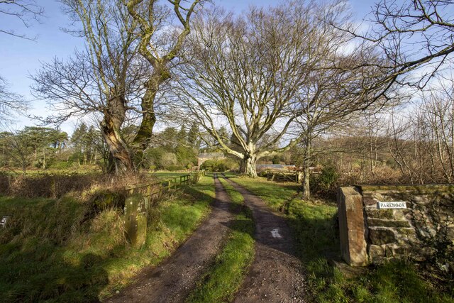
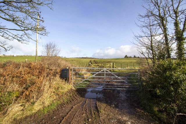
Wellington, Cumberland is a small town located in the northern part of England, specifically in the county of Cumbria. Situated near the border with Scotland, Wellington is nestled in a picturesque landscape surrounded by rolling hills and lush greenery. With a population of around 2,000 residents, it is considered a relatively small and close-knit community.

The town of Wellington has a rich history, dating back to the medieval period when it was primarily an agricultural settlement. Over the years, it has undergone several transformations and developments, adapting to the changing times. Today, it retains its rural charm while also embracing modern amenities and conveniences.

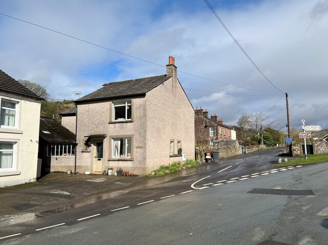
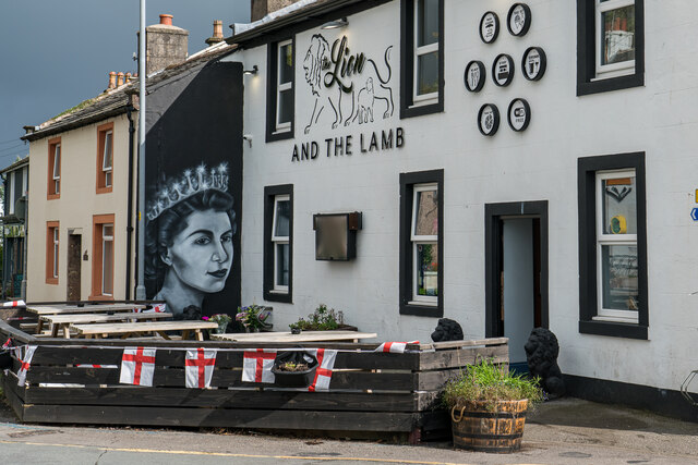
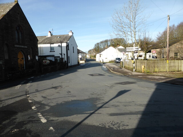
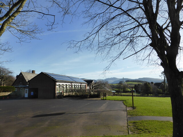
The town offers a range of amenities and services to its residents, including a primary school, a post office, local shops, and a few pubs. There is a strong sense of community, with various social and recreational activities organized throughout the year, such as summer fairs and festivals.

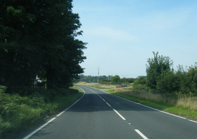
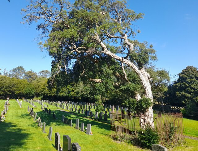
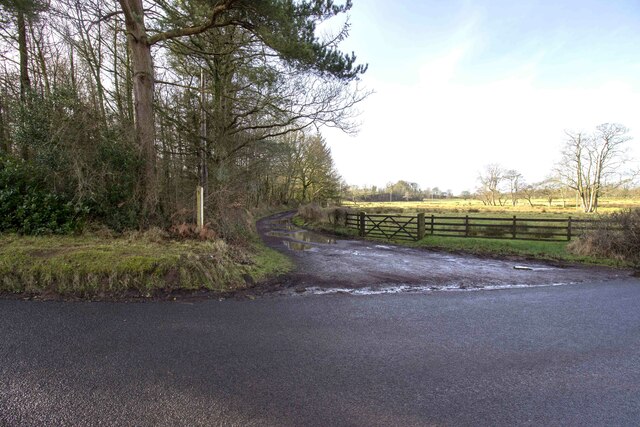
Wellington's location in the heart of the countryside makes it an ideal destination for outdoor enthusiasts. The surrounding area offers numerous opportunities for hiking, cycling, and exploring the natural beauty of the region. A notable nearby landmark is Hadrian's Wall, a UNESCO World Heritage Site, which attracts visitors from around the world.

Transportation in Wellington is mainly reliant on private vehicles, although there are also regular bus services connecting the town to nearby larger cities and towns. The nearest railway station is a few miles away, providing convenient access to further destinations.

Overall, Wellington, Cumberland is a charming and peaceful town that offers a close community spirit, scenic surroundings, and ample opportunities for outdoor activities.

If you have any feedback on the listing, please let us know in the comments section below.

Wellington Images

Images are sourced within 2km of 54.423331/-3.42226 or Grid Reference NY0704. Thanks to Geograph Open Source API. All images are credited.

A595 near Bridge Petton
Benchmark, Wellington, Dalesend Detail of the Ordnance Survey flush bracket benchmark number G3102 on the corner of Dalesend, a private house at Wellington.  The benchmark, cement spattered and partly concealed by render marks a height of 58.4686 m above mean sea level (Ordnance Datum Newlyn) last levelled and verified in 1954 (photograph <a href="https://www.geograph.org.uk/photo/7120921">NY0704 : Wellington, Gosforth</a>).
Benchmark, Wellington, Dalesend
Detail of the Ordnance Survey flush bracket benchmark number G3102 on the corner of Dalesend, a private house at Wellington. The benchmark, cement spattered and partly concealed by render marks a height of 58.4686 m above mean sea level (Ordnance Datum Newlyn) last levelled and verified in 1954 (photograph NY0704 : Wellington, Gosforth).
Wellington, Gosforth There is an Ordnance Survey flush bracket benchmark visible on the corner of Dalesend; the house in the centre of the picture (photograph <a href="https://www.geograph.org.uk/photo/7120908">NY0704 : Benchmark, Wellington, Dalesend</a>).
Wellington, Gosforth
There is an Ordnance Survey flush bracket benchmark visible on the corner of Dalesend; the house in the centre of the picture (photograph NY0704 : Benchmark, Wellington, Dalesend).
High Cross, St Mary's Graveyard
Cork Tree in St Mary's Churchyard Gosforth The beautiful cork tree, growing in St Mary's Churchyard Gosforth since 1833.
Cork Tree in St Mary's Churchyard Gosforth
The beautiful cork tree, growing in St Mary's Churchyard Gosforth since 1833.
St. Mary's Church, Gosforth This has been a Christian site since the 8th century. The oldest fabric in the present church dates from the 12th century. The church was reconstructed in 1789 and again in 1899.

<span class="nowrap"><a title="https://en.wikipedia.org/wiki/St_Mary%27s_Church,_Gosforth" rel="nofollow ugc noopener" href="https://en.wikipedia.org/wiki/St_Mary%27s_Church,_Gosforth">Link</a><img style="margin-left:2px;" alt="External link" title="External link - shift click to open in new window" src="https://s1.geograph.org.uk/img/external.png" width="10" height="10"/></span>
St. Mary's Church, Gosforth
This has been a Christian site since the 8th century. The oldest fabric in the present church dates from the 12th century. The church was reconstructed in 1789 and again in 1899. LinkExternal link
Viking Tomb Stones, Gosforth Hogbacks The back one is known as the "Saints Tomb" and the front one is "Warriors Tomb"

These are very rare pre-Norman tomb markers that were found under the foundations of a 12th-century wall of the church during restoration in 1896–97. The early 11th century is the latest possible date.
Viking Tomb Stones, Gosforth Hogbacks
The back one is known as the "Saints Tomb" and the front one is "Warriors Tomb" These are very rare pre-Norman tomb markers that were found under the foundations of a 12th-century wall of the church during restoration in 1896–97. The early 11th century is the latest possible date.
The Gosforth Thor Fishing Slab The stone slab depicting Thor fishing is set in the wall of the Church of St Mary at Gosforth.


<span class="nowrap"><a title="http://viking.archeurope.info/index.php?page=gosforth-thor-fishing" rel="nofollow ugc noopener" href="http://viking.archeurope.info/index.php?page=gosforth-thor-fishing">Link</a><img style="margin-left:2px;" alt="External link" title="External link - shift click to open in new window" src="https://s1.geograph.org.uk/img/external.png" width="10" height="10"/></span>
The Gosforth Thor Fishing Slab
The stone slab depicting Thor fishing is set in the wall of the Church of St Mary at Gosforth. LinkExternal link
Gosforth Cross The Gosforth Cross is the tallest Viking cross in the country (15ft Tall) and is located in St Mary's churchyard at Gosforth Cumbria. Dating to the first half of the 10th century AD and is a designated as a scheduled monument.

<span class="nowrap"><a title="https://en.wikipedia.org/wiki/Gosforth_Cross" rel="nofollow ugc noopener" href="https://en.wikipedia.org/wiki/Gosforth_Cross">Link</a><img style="margin-left:2px;" alt="External link" title="External link - shift click to open in new window" src="https://s1.geograph.org.uk/img/external.png" width="10" height="10"/></span>
Gosforth Cross
The Gosforth Cross is the tallest Viking cross in the country (15ft Tall) and is located in St Mary's churchyard at Gosforth Cumbria. Dating to the first half of the 10th century AD and is a designated as a scheduled monument. LinkExternal link
Chinese Bell, Gosforth Chinese bell dating from 1839, which was captured from the Anunghoy Fort in the Battle of the Bogue (1841) on the Canton River. It was donated to St. Marys Church in 1844.
Chinese Bell, Gosforth
Chinese bell dating from 1839, which was captured from the Anunghoy Fort in the Battle of the Bogue (1841) on the Canton River. It was donated to St. Marys Church in 1844.
Cork Oak Tree, Gosforth Sign Says :- 

This Cork Oak was planted in approximately 1833 and is reputedly the most northerly growing in England
Cork Oak Tree, Gosforth
Sign Says :- This Cork Oak was planted in approximately 1833 and is reputedly the most northerly growing in England
George VI Post Box (1936-1952), Gosforth
Lion And The Lamb Pub With Queen Elizabeth Painting, Gosforth Brand New Wall Art After The Death of Queen Elizabeth, taken the day before the funeral. Not Sure when it was done but did not spot it the day before when passing.
Lion And The Lamb Pub With Queen Elizabeth Painting, Gosforth
Brand New Wall Art After The Death of Queen Elizabeth, taken the day before the funeral. Not Sure when it was done but did not spot it the day before when passing.
The road into Gosforth
Lots of solar panels On the school at Gosforth
Lots of solar panels
On the school at Gosforth
Bridleway to Meolbank Bridleway to Meolbank Farm
Bridleway to Meolbank
Bridleway to Meolbank Farm
Parknook Farm Track to Parknook Farm
Parknook Farm
Track to Parknook Farm
Farm track Farm track and pasture fields near Bank House Farm
Farm track
Farm track and pasture fields near Bank House Farm
Show me another place!

Wellington is located at Grid Ref: NY0704 (Lat: 54.423331, Lng: -3.42226)

Administrative County: Cumbria

District: Copeland

Police Authority: Cumbria

What 3 Words

///drags.client.pricing. Near Seascale, Cumbria

Nearby Locations

Wellington

Related Wikis

Wellington, Cumbria

Wellington is a small village in the civil parish of Gosforth, Borough of Copeland, Cumbria, England, lying north east of Gosforth beside the River Bleng...

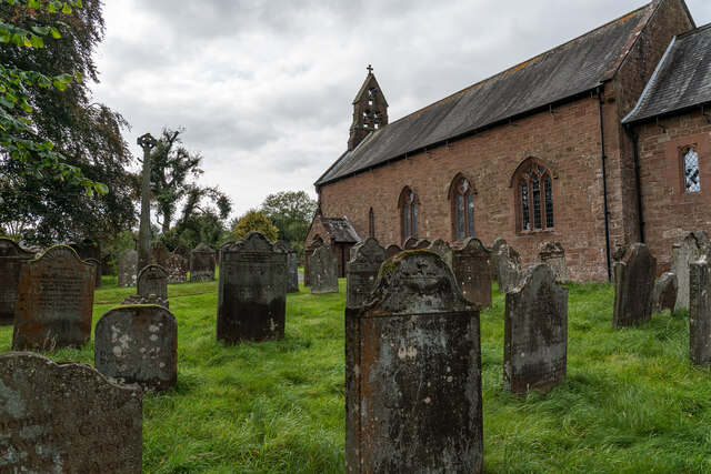
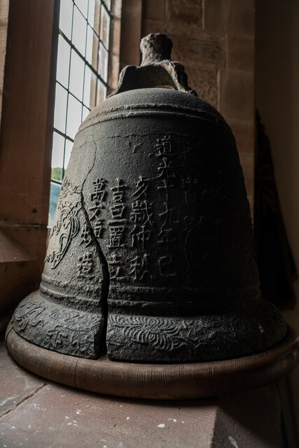
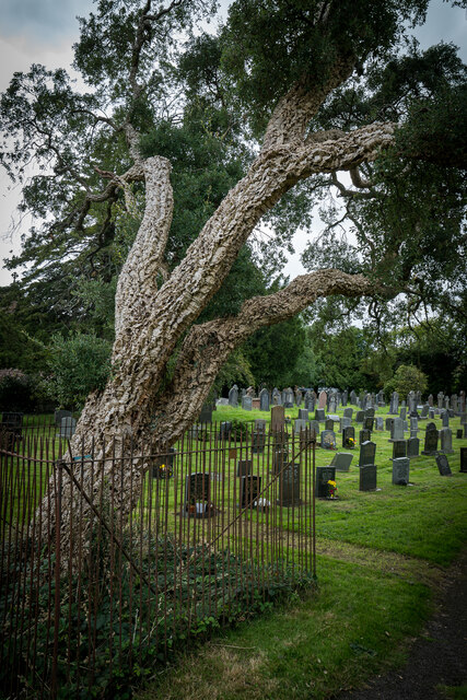
St Mary's Church, Gosforth

St Mary's Church in the village of Gosforth, Cumbria, England, is an active Anglican parish church in the deanery of Calder, the archdeaconry of West Cumberland...
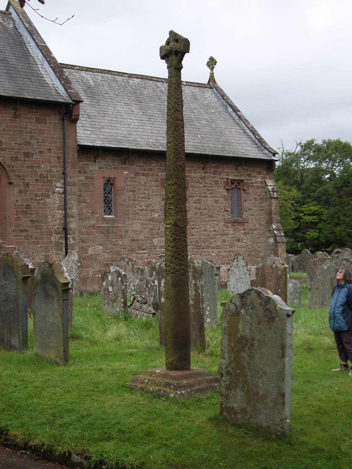
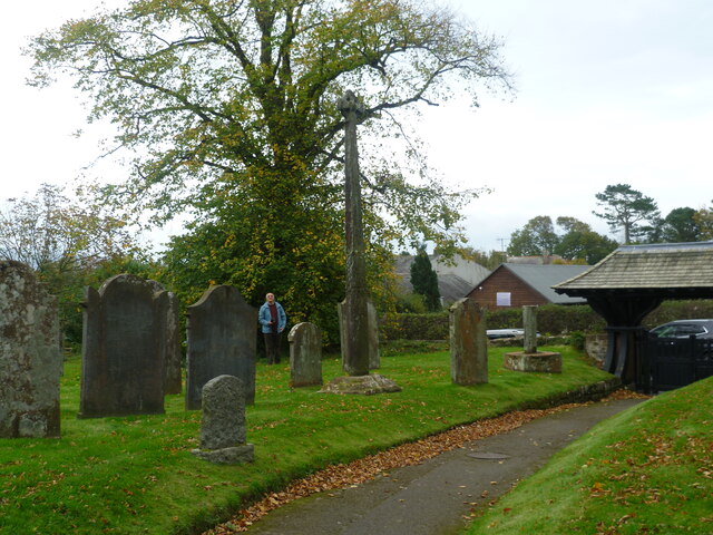
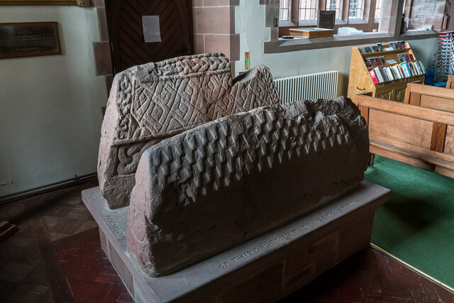
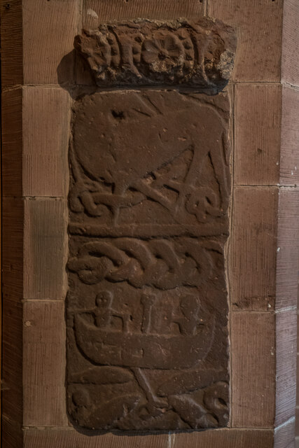
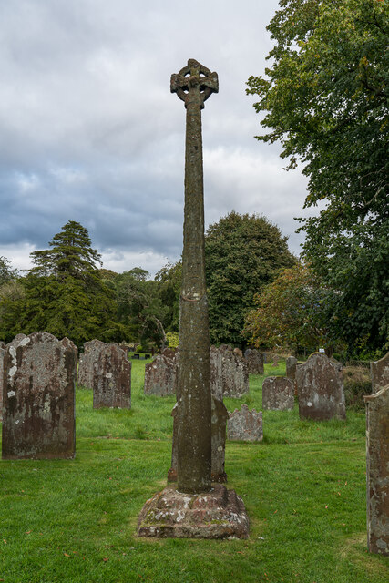
Gosforth Cross

The Gosforth Cross is a large stone monument in St Mary's churchyard at Gosforth in the English county of Cumbria, dating to the first half of the 10th...

Gosforth, Cumbria

Gosforth is a village, civil parish and electoral ward in the Lake District, in the Borough of Copeland in Cumbria, England. Historically in Cumberland...

Nearby Amenities

Located within 500m of 54.423331,-3.42226
Post Box
Post Box Type: lamp
Ref: CA20 45
Royal Cypher: EIIR
Royal Cypher Wikidata: Q33102113
Lat/Long: 54.4212939/-3.4224247
Booth: K6
Removed Amenity: telephone
Source: survey
Lat/Long: 54.4233566/-3.4205478
Barrier: cattle_grid
Lat/Long: 54.4227818/-3.4213262
Row Farm
Place: farm
Lat/Long: 54.4198999/-3.4230645
Give Way
Direction: backwards
Lat/Long: 54.4232157/-3.4204917
Give Way
Direction: backwards
Lat/Long: 54.4231209/-3.4207566
Give Way
Direction: forward
Lat/Long: 54.4219461/-3.4221381
Give Way
Direction: backward
Lat/Long: 54.4203149/-3.4261611
Power: pole
Lat/Long: 54.4256462/-3.4280484
Power: pole
Lat/Long: 54.425195/-3.4263106
Power: pole
Lat/Long: 54.4254067/-3.4251653
Power: pole
Lat/Long: 54.4250309/-3.4238219
Power: pole
Lat/Long: 54.4246296/-3.4262458
Power: pole
Lat/Long: 54.4236784/-3.4262639
Power: pole
Lat/Long: 54.4225776/-3.4262658
Power: pole
Lat/Long: 54.4214656/-3.4263058
Power: pole
Lat/Long: 54.4264986/-3.4247071
Power: pole
Lat/Long: 54.4271627/-3.4244403
The data included in this document is from www.openstreetmap.org. The data is made available under ODbL.

Have you been to Wellington?

Leave your review of Wellington below (or comments, questions and feedback).