Bradeley Green

Settlement in Cheshire

England

Bradeley Green

Milestone, Llangollen Canal Grindley Brook, South of the short tunnel under a railway embankment. Part of the Sandstone Trail see <span class="nowrap"><a title="https://sandstonetrail.co.uk/map-sandstone-trail/" rel="nofollow ugc noopener" href="https://sandstonetrail.co.uk/map-sandstone-trail/">Link</a><img style="margin-left:2px;" alt="External link" title="External link - shift click to open in new window" src="https://s1.geograph.org.uk/img/external.png" width="10" height="10"/></span>. This Milestone can be seen extreme centre right see <a title="https://www.geograph.org.uk/photo/2829137" href="https://www.geograph.org.uk/photo/2829137">Link</a>


Milestone Society National ID: CH_FRWH51
Milestone, Llangollen Canal Credit: Mr Red

Bradeley Green is a small village located in the county of Cheshire, England. Situated just south of the town of Congleton, it is surrounded by picturesque countryside and offers a tranquil rural setting.

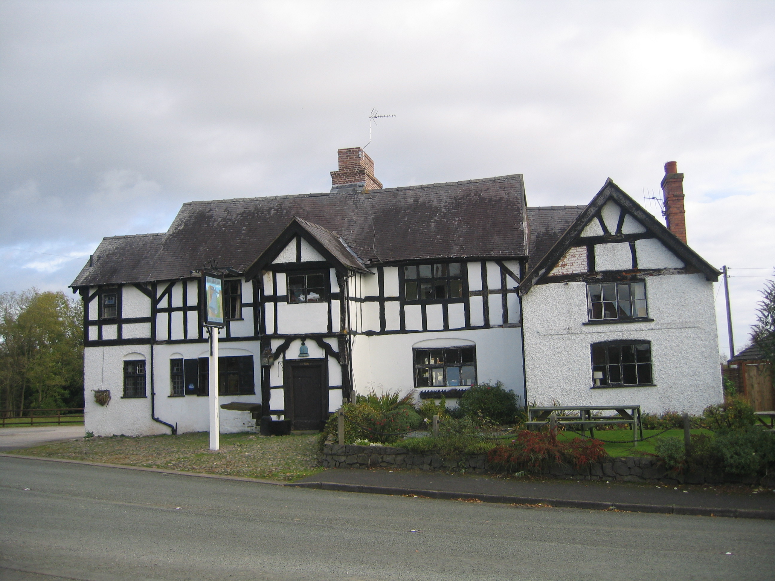
The village itself is characterized by charming cottages and traditional architecture, giving it a quintessentially English feel. Bradeley Green is known for its tight-knit community and friendly atmosphere, offering a sense of unity among its residents.

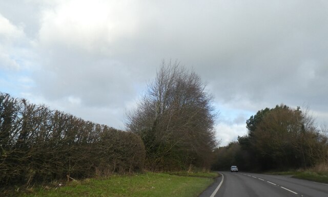
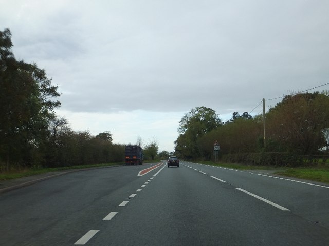
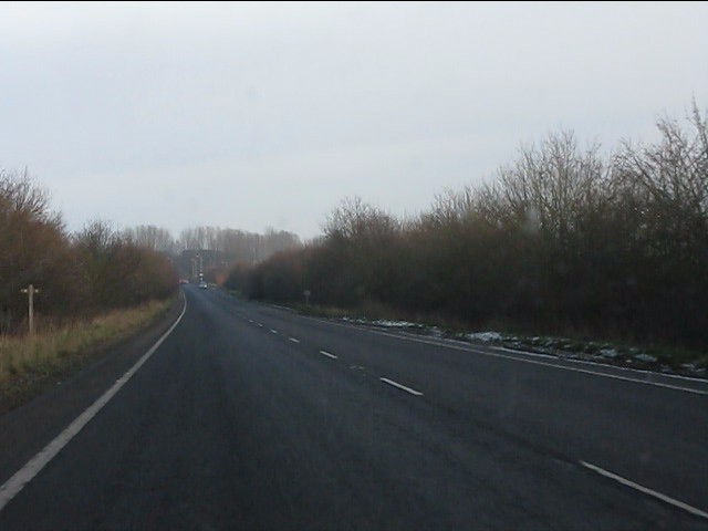
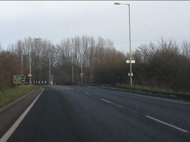
The village is well-connected to nearby towns and cities, with convenient transportation links. The A536 road passes through Bradeley Green, providing easy access to Congleton and other surrounding areas. The village is also served by a regular bus service, making it easily accessible for both residents and visitors.

While Bradeley Green may be small in size, it boasts a variety of amenities and facilities for its residents. These include a village hall, a local pub, and a primary school, providing essential services for the community.

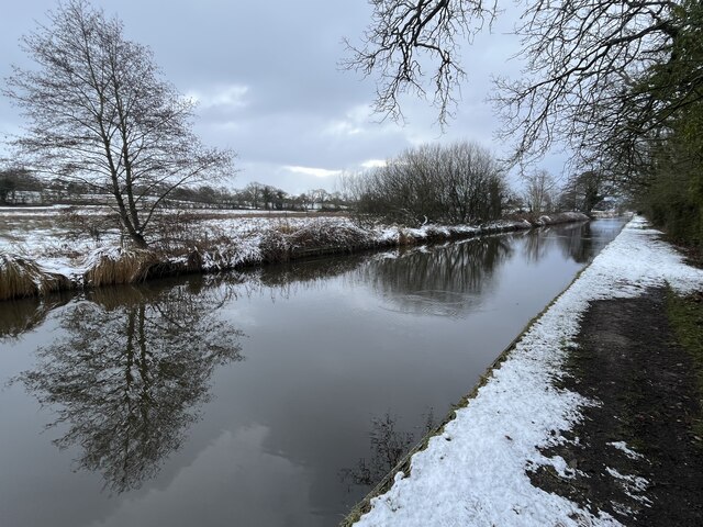
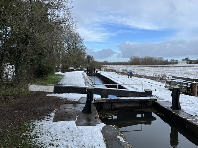
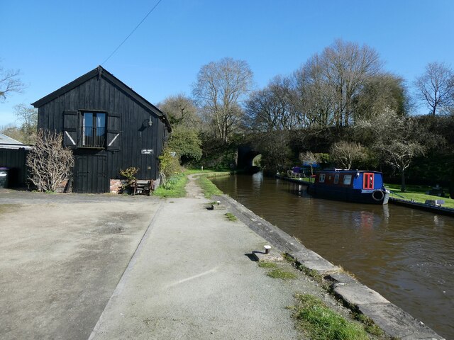
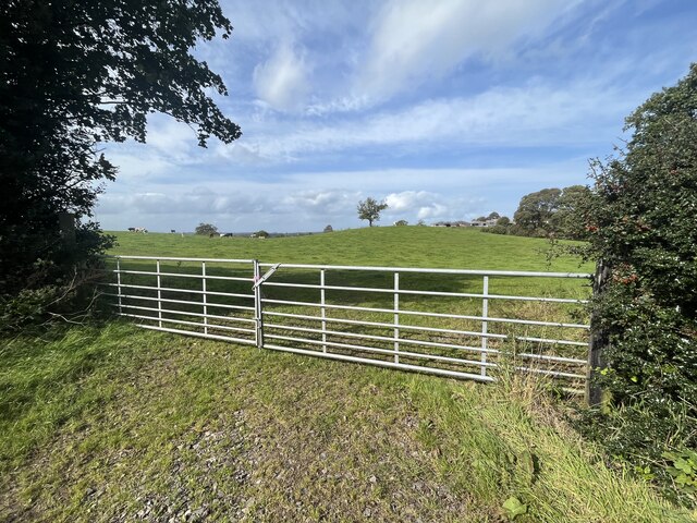
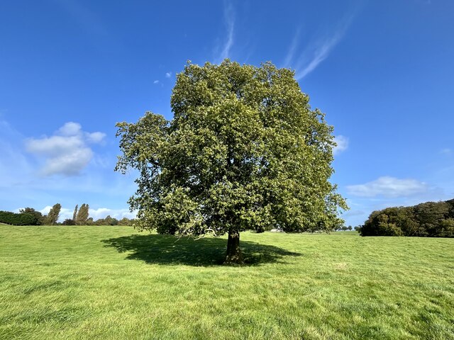
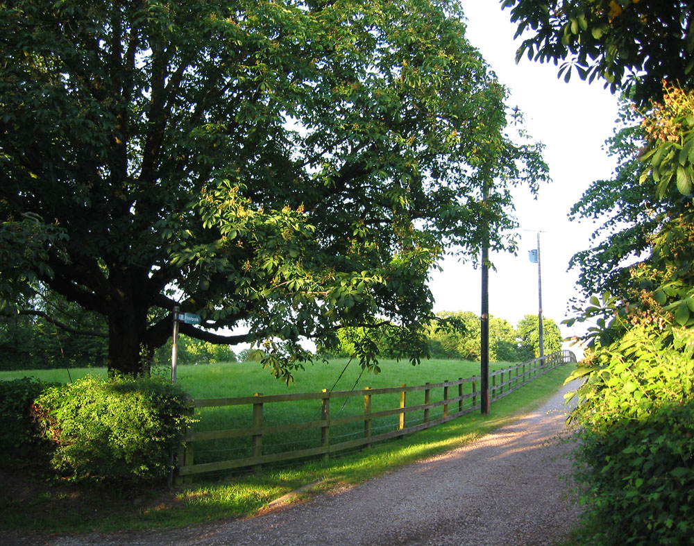
Nature enthusiasts will appreciate the stunning countryside that surrounds Bradeley Green. The village is located in close proximity to the Peak District National Park, offering an array of outdoor activities such as hiking, cycling, and horse riding.

In conclusion, Bradeley Green is a charming village nestled in the beautiful Cheshire countryside. With its strong sense of community, convenient location, and access to natural beauty, it is an ideal place for those seeking a peaceful and idyllic setting to call home.

If you have any feedback on the listing, please let us know in the comments section below.

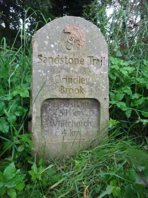
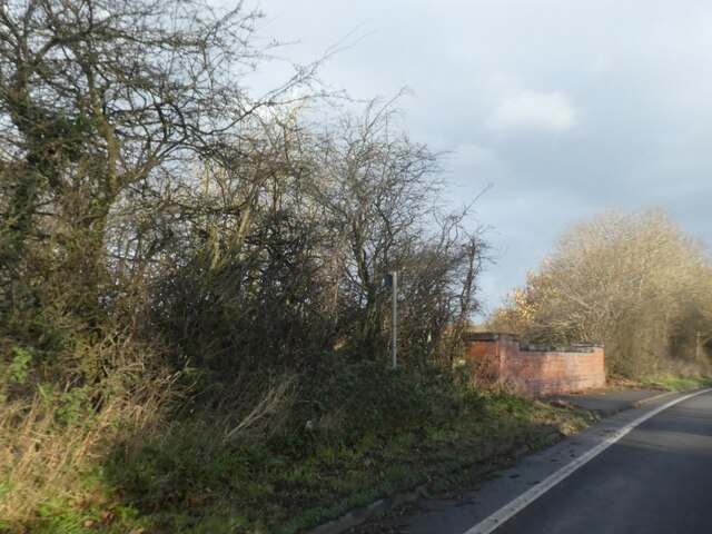
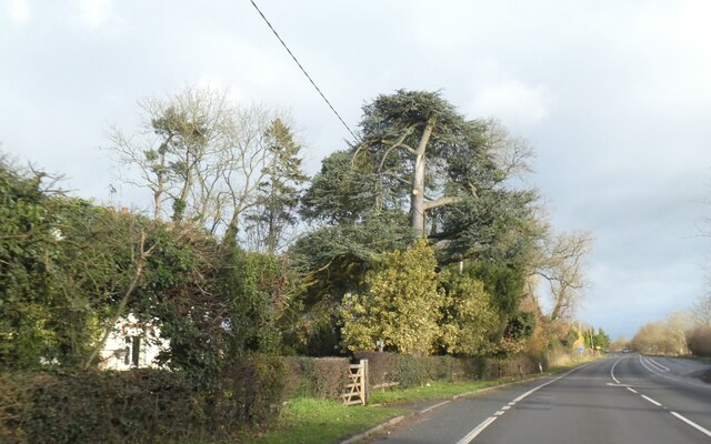
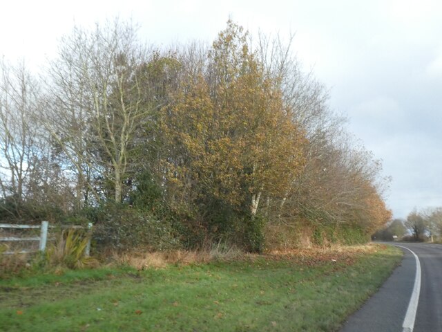
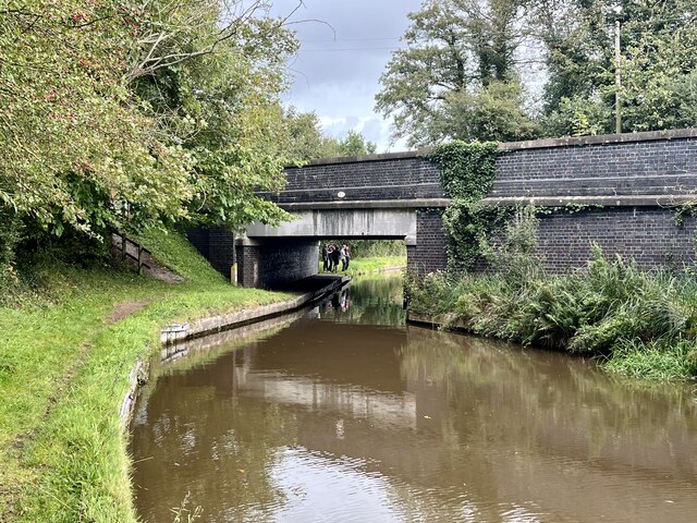
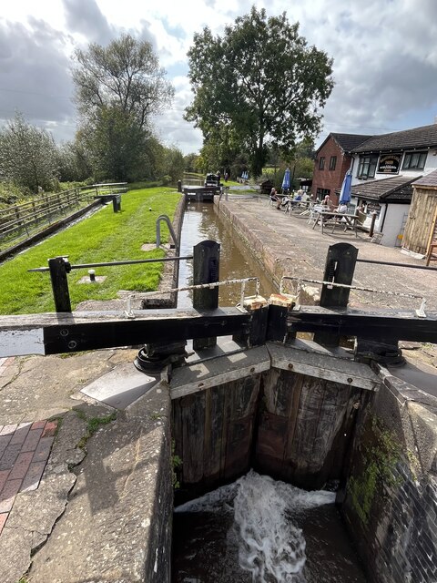
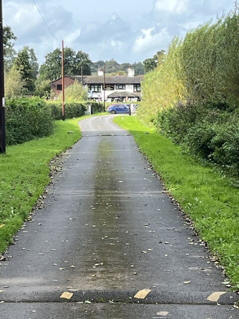
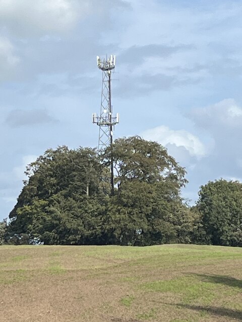
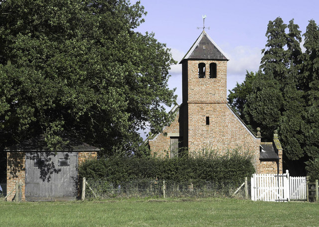
Bradeley Green Images

Images are sourced within 2km of 52.998488/-2.692085 or Grid Reference SJ5344. Thanks to Geograph Open Source API. All images are credited.

Milestone, Llangollen Canal Grindley Brook, South of the short tunnel under a railway embankment. Part of the Sandstone Trail see <span class="nowrap"><a title="https://sandstonetrail.co.uk/map-sandstone-trail/" rel="nofollow ugc noopener" href="https://sandstonetrail.co.uk/map-sandstone-trail/">Link</a><img style="margin-left:2px;" alt="External link" title="External link - shift click to open in new window" src="https://s1.geograph.org.uk/img/external.png" width="10" height="10"/></span>. This Milestone can be seen extreme centre right see <a title="https://www.geograph.org.uk/photo/2829137" href="https://www.geograph.org.uk/photo/2829137">Link</a>


Milestone Society National ID: CH_FRWH51
Milestone, Llangollen Canal
Grindley Brook, South of the short tunnel under a railway embankment. Part of the Sandstone Trail see LinkExternal link. This Milestone can be seen extreme centre right see Link Milestone Society National ID: CH_FRWH51
Bridge parapet where A41 crosses dismantled railway The bridge also appears in <a href="https://www.geograph.org.uk/photo/64070">SJ5144 : Bridge over disused railway nr Whitchurch</a>
Bridge parapet where A41 crosses dismantled railway
Trimmed tree by A41 north of Wallgrove The A41 road runs from London to Birkenhead. It passes through or near various towns and cities including Watford, Hemel Hempstead, Aylesbury, Solihull, Birmingham, West Bromwich, Wolverhampton, Newport, Whitchurch, Chester and Ellesmere Port. With the opening of the M40 in 1990 much of the route was downgraded.
Wikipedia: <span class="nowrap"><a title="http://en.wikipedia.org/wiki/A41_road" rel="nofollow ugc noopener" href="http://en.wikipedia.org/wiki/A41_road">Link</a><img style="margin-left:2px;" alt="External link" title="External link - shift click to open in new window" src="https://s1.geograph.org.uk/img/external.png" width="10" height="10"/></span>
Trimmed tree by A41 north of Wallgrove
The A41 road runs from London to Birkenhead. It passes through or near various towns and cities including Watford, Hemel Hempstead, Aylesbury, Solihull, Birmingham, West Bromwich, Wolverhampton, Newport, Whitchurch, Chester and Ellesmere Port. With the opening of the M40 in 1990 much of the route was downgraded. Wikipedia: LinkExternal link
Hedge and trees by A41 The A41 road runs from London to Birkenhead. It passes through or near various towns and cities including Watford, Hemel Hempstead, Aylesbury, Solihull, Birmingham, West Bromwich, Wolverhampton, Newport, Whitchurch, Chester and Ellesmere Port. With the opening of the M40 in 1990 much of the route was downgraded.
Wikipedia: <span class="nowrap"><a title="http://en.wikipedia.org/wiki/A41_road" rel="nofollow ugc noopener" href="http://en.wikipedia.org/wiki/A41_road">Link</a><img style="margin-left:2px;" alt="External link" title="External link - shift click to open in new window" src="https://s1.geograph.org.uk/img/external.png" width="10" height="10"/></span>
Hedge and trees by A41
The A41 road runs from London to Birkenhead. It passes through or near various towns and cities including Watford, Hemel Hempstead, Aylesbury, Solihull, Birmingham, West Bromwich, Wolverhampton, Newport, Whitchurch, Chester and Ellesmere Port. With the opening of the M40 in 1990 much of the route was downgraded. Wikipedia: LinkExternal link
Trim and not-so-trim hedges by A41 The A41 road runs from London to Birkenhead. It passes through or near various towns and cities including Watford, Hemel Hempstead, Aylesbury, Solihull, Birmingham, West Bromwich, Wolverhampton, Newport, Whitchurch, Chester and Ellesmere Port. With the opening of the M40 in 1990 much of the route was downgraded.
Wikipedia: <span class="nowrap"><a title="http://en.wikipedia.org/wiki/A41_road" rel="nofollow ugc noopener" href="http://en.wikipedia.org/wiki/A41_road">Link</a><img style="margin-left:2px;" alt="External link" title="External link - shift click to open in new window" src="https://s1.geograph.org.uk/img/external.png" width="10" height="10"/></span>
Trim and not-so-trim hedges by A41
The A41 road runs from London to Birkenhead. It passes through or near various towns and cities including Watford, Hemel Hempstead, Aylesbury, Solihull, Birmingham, West Bromwich, Wolverhampton, Newport, Whitchurch, Chester and Ellesmere Port. With the opening of the M40 in 1990 much of the route was downgraded. Wikipedia: LinkExternal link
Llangollen Canal adjacent to the Sandstone Trail
Povey's Lock On the Llangollen Canal.
Povey's Lock
On the Llangollen Canal.
Part of the canal at Grindly Brook I have been away from the canalside for too long. Good to be back. 

Here you have a short history lesson; a canal below with railway line, now abandoned I think, above.
Part of the canal at Grindly Brook
I have been away from the canalside for too long. Good to be back. Here you have a short history lesson; a canal below with railway line, now abandoned I think, above.
Quoisley Canal Bridge Carrying the busy A41 over the Llangollen Canal.
Quoisley Canal Bridge
Carrying the busy A41 over the Llangollen Canal.
Willeymoor Lock On the Llangollen Canal.
Willeymoor Lock
On the Llangollen Canal.
Access road to the Willeymoor Tavern
Transmitter at Wirswall
Entrance to field South of Wirswall.
Entrance to field
South of Wirswall.
Lone oak tree
Lone oak tree
Llangollen Canal:  Paddle gear at Willeymoor Lock
Llangollen Canal: Paddle gear at Willeymoor Lock
Lay-by on A41 south of Bell o' th' Hill
Footpath crosses the Whitchurch bypass Note the sign on the left.
Footpath crosses the Whitchurch bypass
Note the sign on the left.
Northern end of the Whitchurch bypass (A49)
Show me another place!

Bradeley Green is located at Grid Ref: SJ5344 (Lat: 52.998488, Lng: -2.692085)

Unitary Authority: Cheshire East

Police Authority: Cheshire

What 3 Words

///exploring.moss.pasta. Near Whitchurch, Shropshire

Nearby Locations

Oakley Wood Bradeley Green

Related Wikis

Bradeley Green

Bradeley Green is a village in Cheshire East, England. It is located on the A49 road north of Whitchurch and on the county border with Shropshire.

Tushingham Hall

Tushingham Hall is a country house in Tushingham, Cheshire, England. Formerly a moated farmhouse, it was remodelled in the early 19th century for Daniel...

Wirswall

Wirswall is a village and former civil parish, now in the parish of Marbury and District, in the unitary authority area of Cheshire East and the ceremonial...

Quoisley Meres

Quoisley Meres refers to two meres, Quoisley Big Mere and Quoisley Little Mere, near the village of Marbury, in Cheshire, England. Glacial in origin, the...

Bell o' th' Hill

Bell o' th' Hill is a small, scattered settlement in the unitary authority of Cheshire West and Chester and the ceremonial county of Cheshire, England...

Tushingham-cum-Grindley, Macefen and Bradley

Tushingham-cum-Grindley, Macefen and Bradley is a civil parish in the unitary authority of Cheshire West and Chester and the ceremonial county of Cheshire...

Tushingham cum Grindley

Tushingham cum Grindley is a former civil parish, now in the parish of Tushingham-cum-Grindley, Macefen and Bradley, in the unitary authority of Cheshire...

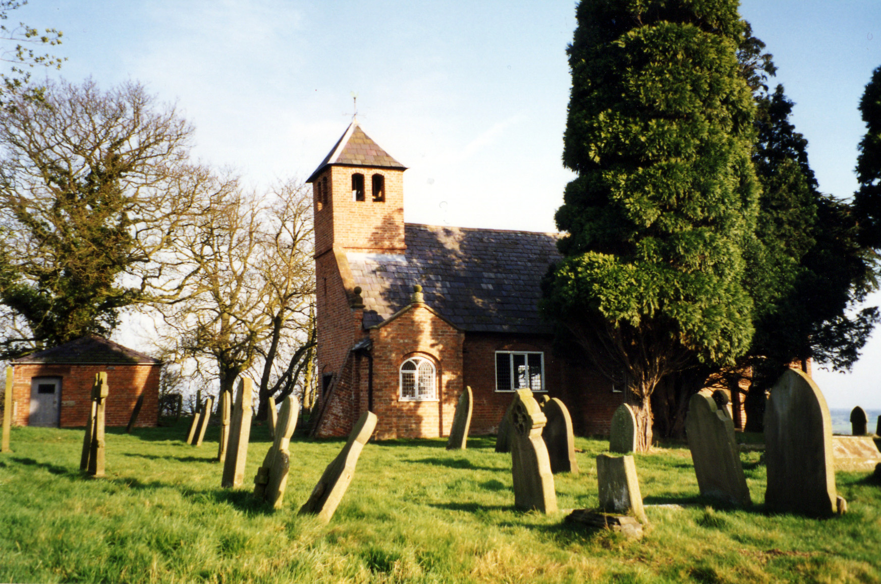
St Chad's Chapel, Tushingham

St Chad's Chapel (often referred to as Old St Chad's) is an isolated church in the scattered community of Tushingham in the civil parish of Tushingham...

Nearby Amenities

Located within 500m of 52.998488,-2.692085
Barrier: block
Lat/Long: 52.9952777/-2.6880328
Barrier: stile
Foot: yes
Lat/Long: 53.0015141/-2.6949699
Barrier: stile
Foot: yes
Lat/Long: 53.0002862/-2.691779
Seamark Type: gate
Waterway: lock_gate
Lat/Long: 52.9973171/-2.6982217
Seamark Type: gate
Waterway: lock_gate
Lat/Long: 52.9975124/-2.6981005
Seamark Type: gate
Waterway: lock_gate
Lat/Long: 53.0017684/-2.694975
Pub
Willeymoor Lock Tavern
Addr Postcode: SY13 4HF
Addr Street: Tarporley Road
Fhrs Id: 290471
Source Addr: FHRS Open Data
Lat/Long: 53.0016399/-2.6954533
Greenbank Business Park
Landuse: industrial
Lat/Long: 52.9994849/-2.6897432
Bus Stop
Bradeley Green, Whitchurch Road / Bradeley Green Lane
Bus: yes
Naptan AtcoCode: 0600CRIM197
Naptan Bearing: SW
Naptan BusStopType: CUS
Naptan CommonName: Bradeley Green Lane
Naptan Crossing: Bradeley Green Lane
Naptan Indicator: cnr
Naptan Landmark: Greenbank
Naptan LocalityName: Bradeley Green
Naptan NaptanCode: chewawm
Naptan ShortCommonName: Bradeley Green Lane
Naptan Street: Whitchurch Road
Naptan Verified: no
Network: Cheshire East Council
Operator: Ansa Transport
Public Transport: platform
Source: naptan_import
Lat/Long: 53.0001711/-2.6916134
Barrier: stile
Lat/Long: 53.0014053/-2.6962256
Seamark Type: gate
Waterway: lock_gate
Lat/Long: 53.0015929/-2.6951836
Power: pole
Lat/Long: 53.0007342/-2.6865301
Power: pole
Lat/Long: 53.0000869/-2.6874796
Power: pole
Lat/Long: 52.9993767/-2.6885068
Power: pole
Lat/Long: 52.9989182/-2.6891801
Power: pole
Lat/Long: 52.9975703/-2.691145
Power: pole
Lat/Long: 52.9967801/-2.6922715
Barrier: kissing_gate
Lat/Long: 53.0015756/-2.6960125
Power: pole
Lat/Long: 52.9983371/-2.6900272
Power: pole
Lat/Long: 52.9951818/-2.6945962
Power: pole
Lat/Long: 52.995933/-2.6935199
The data included in this document is from www.openstreetmap.org. The data is made available under ODbL.

Have you been to Bradeley Green?

Leave your review of Bradeley Green below (or comments, questions and feedback).