Oakley Wood
Wood, Forest in Shropshire
England
Oakley Wood
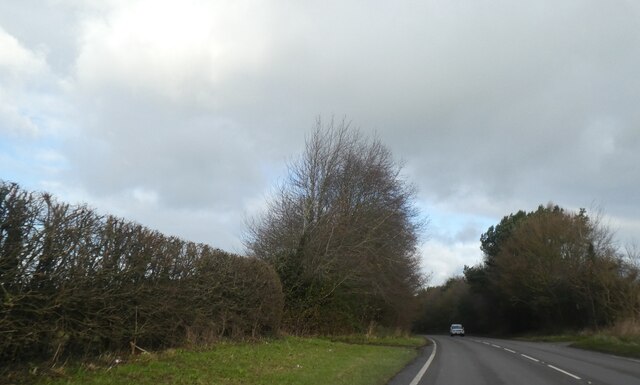
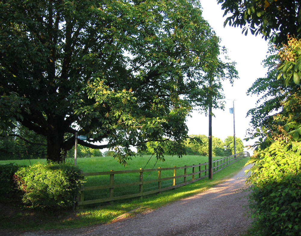
Oakley Wood is a picturesque forest located in the county of Shropshire, England. Spread across an area of approximately 250 acres, it is a popular destination for nature enthusiasts and hikers alike. The wood is situated near the village of Oakley, nestled within the rolling hills and tranquil countryside that Shropshire is renowned for.
The wood features a diverse range of tree species, including oak, birch, beech, and ash, which create a rich and varied landscape. The dense canopy provides ample shade during the summer months, making it an ideal spot for a leisurely stroll or a peaceful picnic.
The forest is intersected by a network of well-maintained footpaths, allowing visitors to explore its beauty at their own pace. These paths wind their way through the wood, leading visitors past babbling streams, vibrant wildflowers, and occasional glimpses of wildlife.
Oakley Wood is also home to a variety of bird species, including the great spotted woodpecker, tawny owl, and nuthatch. Birdwatchers can often be seen with their binoculars, eagerly observing and documenting the feathered inhabitants of the forest.
Not only is Oakley Wood a haven for flora and fauna, but it also has historical significance. It is believed that the wood has been in existence since at least the medieval times, and remnants of ancient earthworks and boundaries can still be seen today, adding an air of mystery to the area.
Overall, Oakley Wood is a charming and peaceful woodland, offering visitors the opportunity to connect with nature, explore its rich biodiversity, and immerse themselves in the natural beauty of Shropshire.
If you have any feedback on the listing, please let us know in the comments section below.
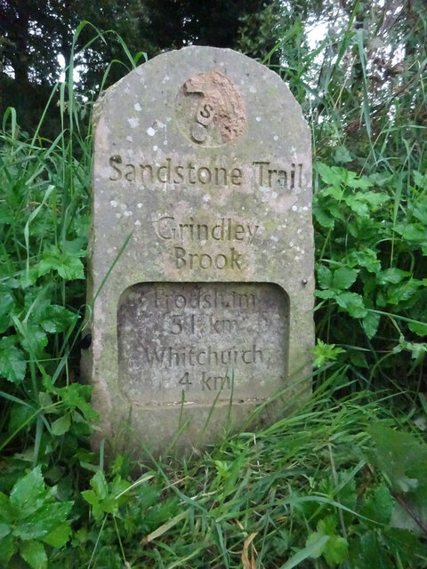
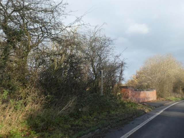
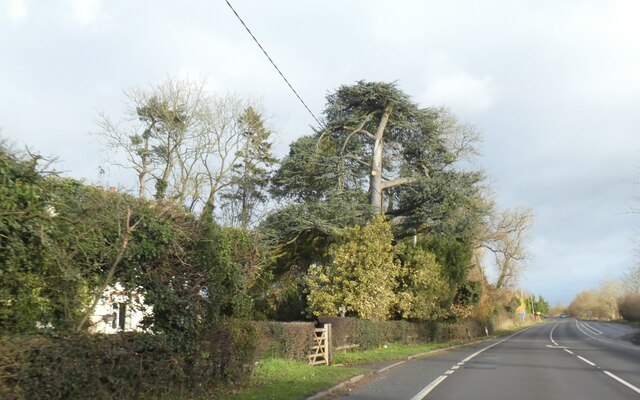
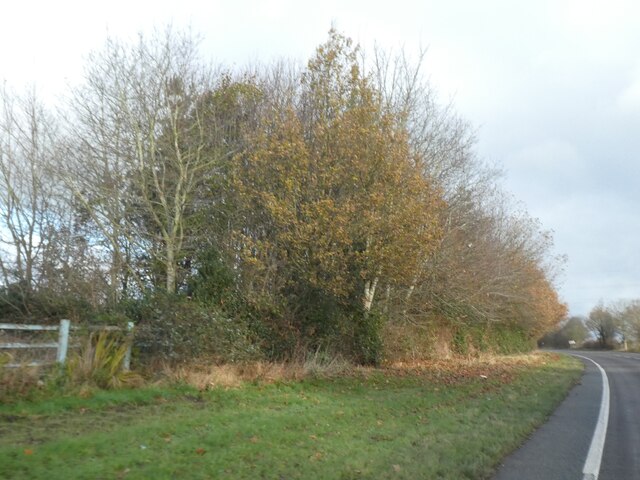
Oakley Wood Images
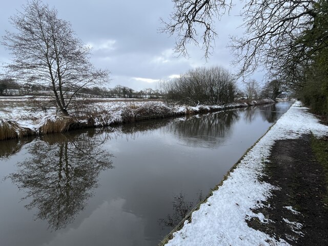
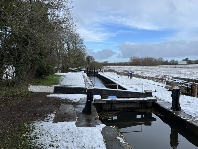
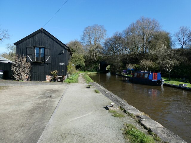
Images are sourced within 2km of 52.991957/-2.6959355 or Grid Reference SJ5344. Thanks to Geograph Open Source API. All images are credited.


Oakley Wood is located at Grid Ref: SJ5344 (Lat: 52.991957, Lng: -2.6959355)
Unitary Authority: Shropshire
Police Authority: West Mercia
What 3 Words
///boot.riot.clerk. Near Whitchurch, Shropshire
Nearby Locations
Related Wikis

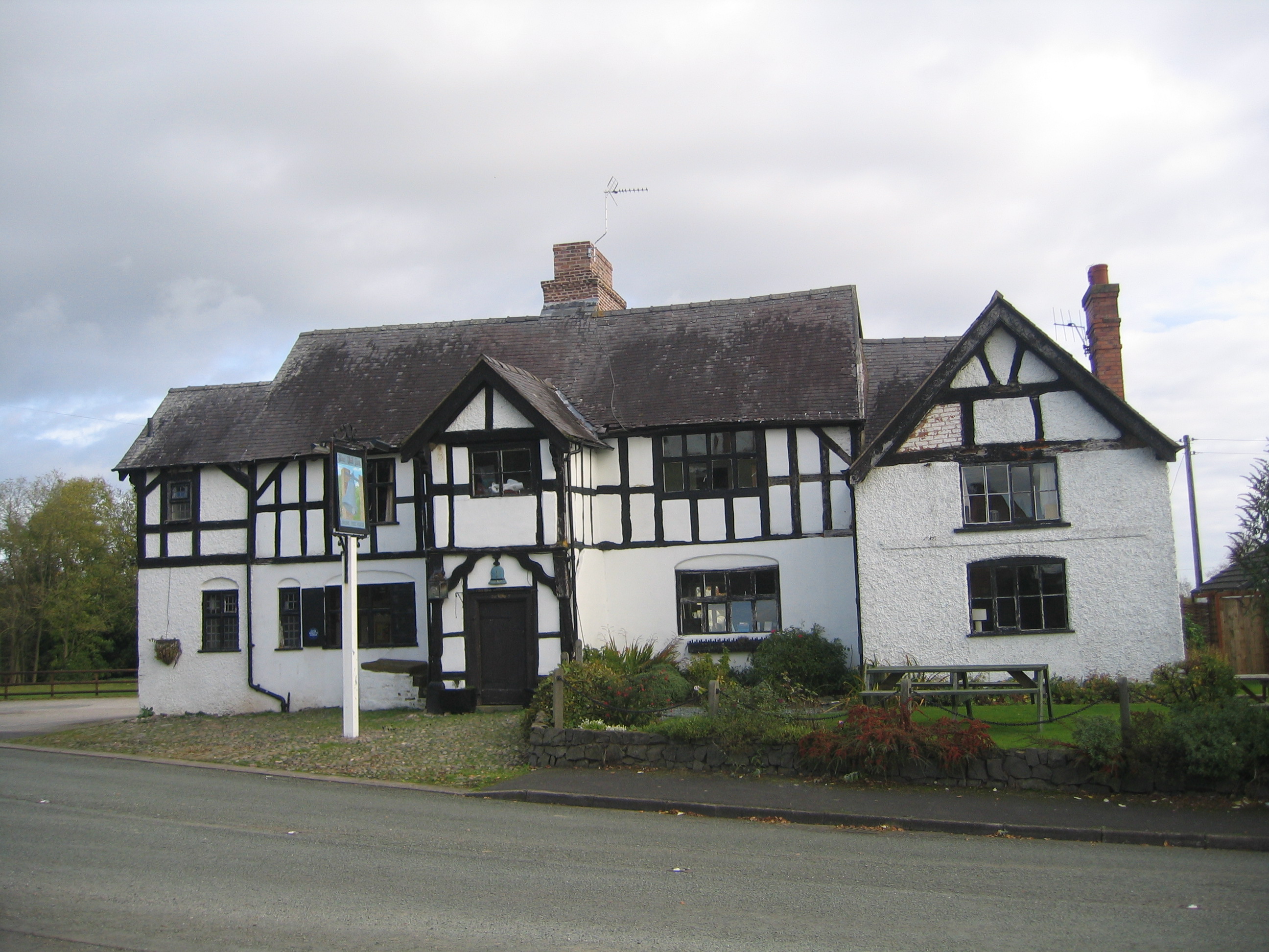
Bradeley Green
Bradeley Green is a village in Cheshire East, England. It is located on the A49 road north of Whitchurch and on the county border with Shropshire.

Tushingham Hall
Tushingham Hall is a country house in Tushingham, Cheshire, England. Formerly a moated farmhouse, it was remodelled in the early 19th century for Daniel...
Wirswall
Wirswall is a village and former civil parish, now in the parish of Marbury and District, in the unitary authority area of Cheshire East and the ceremonial...
Grindley Brook Halt railway station
Grindley Brook Halt was a railway halt in the village of Grindley Brook, Shropshire on the Whitchurch and Tattenhall Railway or Chester-Whitchurch Branch...

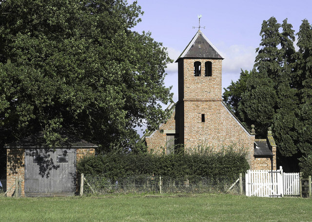
Grindley Brook
Grindley Brook is a small village in Shropshire, England, on the A41 trunk road around 1.5 miles north west of the market town of Whitchurch. It is the...
Bell o' th' Hill
Bell o' th' Hill is a small, scattered settlement in the unitary authority of Cheshire West and Chester and the ceremonial county of Cheshire, England...
Tushingham-cum-Grindley, Macefen and Bradley
Tushingham-cum-Grindley, Macefen and Bradley is a civil parish in the unitary authority of Cheshire West and Chester and the ceremonial county of Cheshire...

Quoisley Meres
Quoisley Meres refers to two meres, Quoisley Big Mere and Quoisley Little Mere, near the village of Marbury, in Cheshire, England. Glacial in origin, the...
Nearby Amenities
Located within 500m of 52.991957,-2.6959355Have you been to Oakley Wood?
Leave your review of Oakley Wood below (or comments, questions and feedback).