Bradeley

Settlement in Staffordshire

England

Bradeley

Caldon Canal, Milton By this stage, the Caldon Canal is beginning to have a more rural feel as it gradually shakes off the Stoke on Trent suburbs. The bridge ahead carried the Stoke - Leek railway that has been disused since 1989.
Caldon Canal, Milton Credit: Stephen McKay

Bradeley is a small village located in the county of Staffordshire, England. Situated approximately 2 miles north of the bustling town of Stafford, it falls within the Stafford Borough Council area. With a population of around 1,500 residents, Bradeley offers a quiet and close-knit community atmosphere.

The village is primarily residential, consisting of a mix of detached and semi-detached houses, as well as a handful of small apartment buildings. The architecture in Bradeley varies, with some properties dating back several centuries, while others showcase more modern designs.

Bradeley benefits from its proximity to Stafford, which provides residents with access to a wide range of amenities and services. The town offers a variety of shops, supermarkets, restaurants, and pubs, ensuring that Bradeley residents can meet their daily needs without having to travel far.

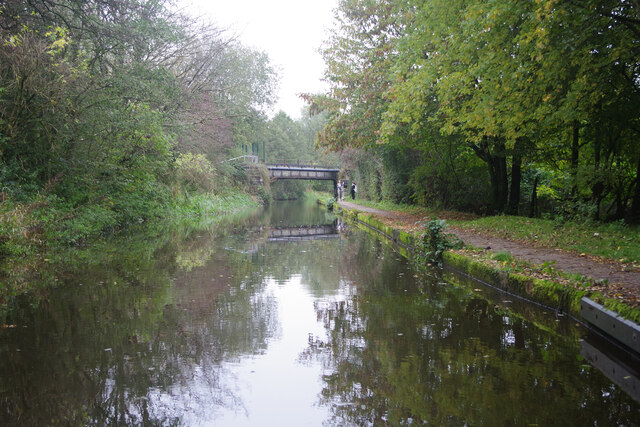
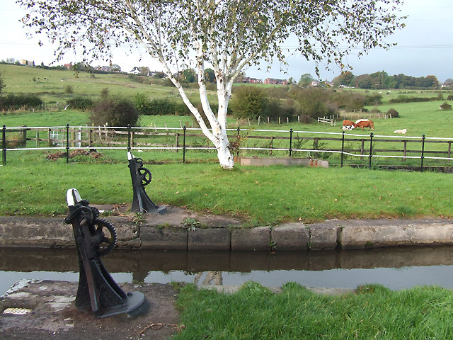
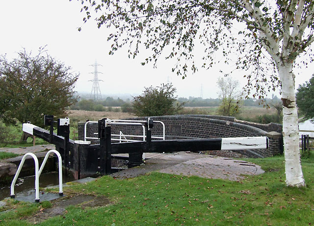
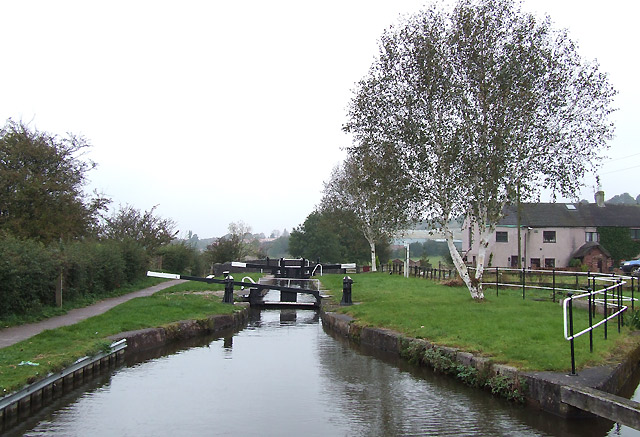
Nature lovers will appreciate Bradeley's picturesque surroundings. The village is nestled amidst the beautiful Staffordshire countryside, providing opportunities for peaceful walks and outdoor activities. Nearby attractions include Cannock Chase, an Area of Outstanding Natural Beauty, and the Staffordshire and Worcestershire Canal, offering scenic spots for boating and fishing.

The village is well-connected to the surrounding areas by road and public transport. The A34 road runs near Bradeley, connecting it to the wider road network, making it accessible for commuters and visitors. Additionally, Stafford Railway Station, located in the town, provides frequent train services to major cities such as Birmingham and London.

Overall, Bradeley offers a tranquil and idyllic setting for those seeking a peaceful village life within easy reach of urban amenities.

If you have any feedback on the listing, please let us know in the comments section below.
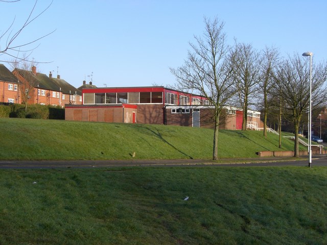
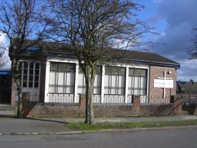
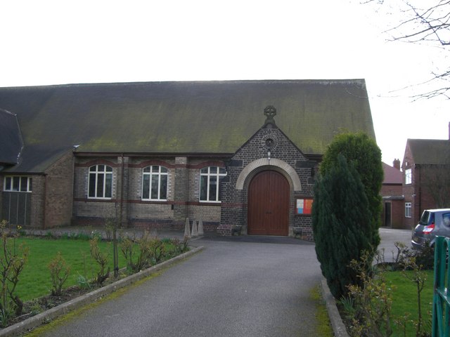
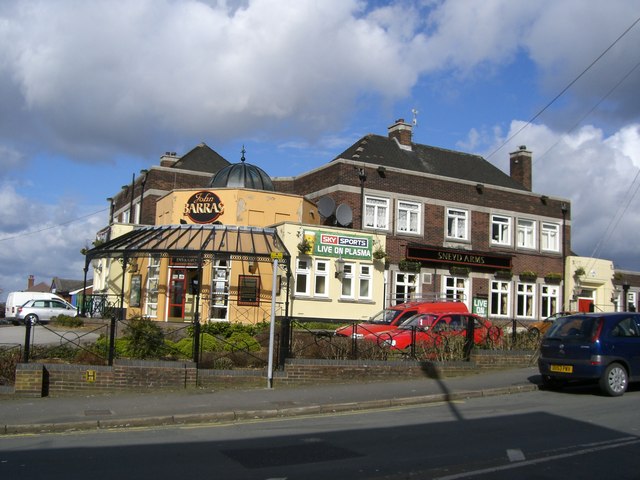
Bradeley Images

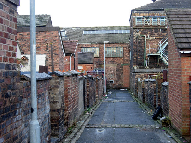
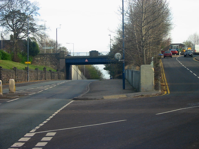
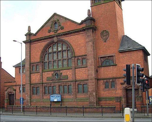
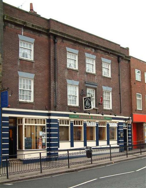
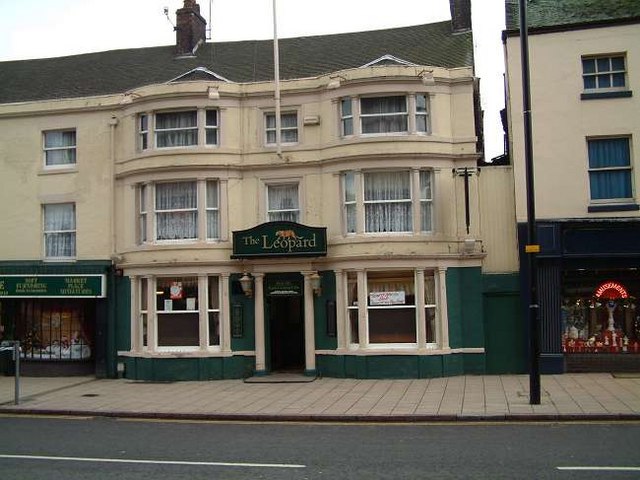
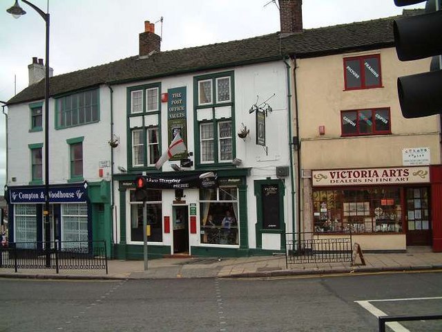
Images are sourced within 2km of 53.057093/-2.176774 or Grid Reference SJ8851. Thanks to Geograph Open Source API. All images are credited.
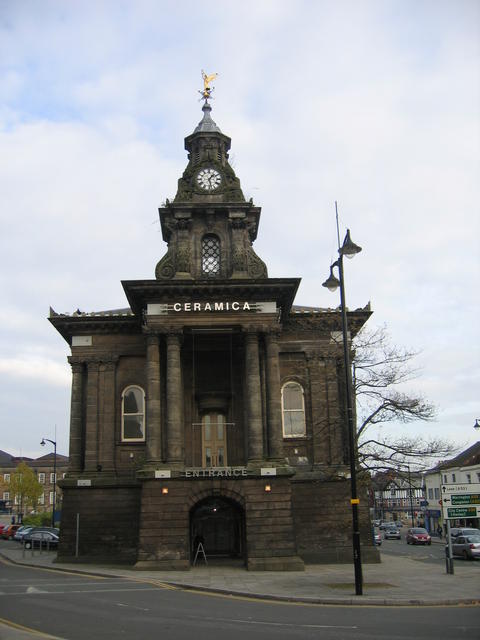
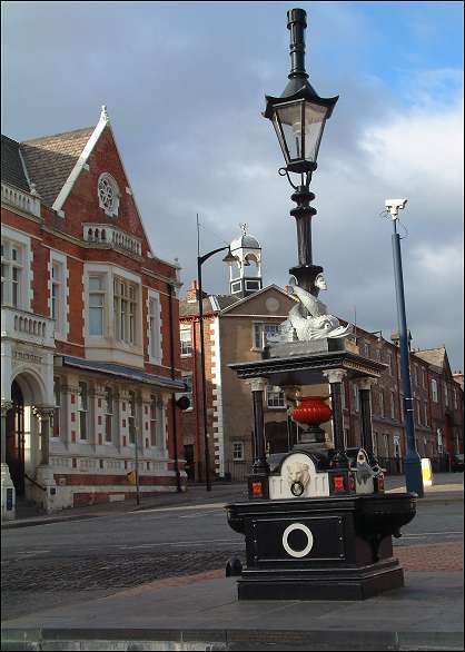
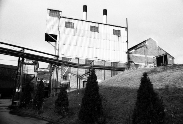
Caldon Canal, Milton By this stage, the Caldon Canal is beginning to have a more rural feel as it gradually shakes off the Stoke on Trent suburbs. The bridge ahead carried the Stoke - Leek railway that has been disused since 1989.
Caldon Canal, Milton
By this stage, the Caldon Canal is beginning to have a more rural feel as it gradually shakes off the Stoke on Trent suburbs. The bridge ahead carried the Stoke - Leek railway that has been disused since 1989.
Engine Lock (No 20), Caldon Canal, Staffordshire This lock is named after the enormous beam engine which used to be seen a little way up the hill. It pumped water from the mine workings below. The lock is a deep one, altering the water level by over twelve feet (3.7 metres).
Engine Lock (No 20), Caldon Canal, Staffordshire
This lock is named after the enormous beam engine which used to be seen a little way up the hill. It pumped water from the mine workings below. The lock is a deep one, altering the water level by over twelve feet (3.7 metres).
Engine Lock  near Norton-in-the-Moors, Stoke-on-Trent Quite apart from the depth (12ft 1½in - 3·7 metres) of this lock on the Caldon Canal, the venue is notable for two very beautiful Himalayan Birch (Betula utiis v. 'Jacquemontii') trees.
Engine Lock near Norton-in-the-Moors, Stoke-on-Trent
Quite apart from the depth (12ft 1½in - 3·7 metres) of this lock on the Caldon Canal, the venue is notable for two very beautiful Himalayan Birch (Betula utiis v. 'Jacquemontii') trees.
Approaching Engine Lock, Caldon Canal, near Norton Green, Staffordshire The lock is a deep one, over twelve feet (3.7 metres) and was named because up the hill to the right a very large beam engine used to pump water out of local mine workings.
Approaching Engine Lock, Caldon Canal, near Norton Green, Staffordshire
The lock is a deep one, over twelve feet (3.7 metres) and was named because up the hill to the right a very large beam engine used to pump water out of local mine workings.
'Back to back' housing in Burslem The backs of terraced housing in Burslem, one of the six towns of Stoke-on-Trent
'Back to back' housing in Burslem
The backs of terraced housing in Burslem, one of the six towns of Stoke-on-Trent
Holden Bridge, Sneyd Green Looking NE along the A53 towards Leek from Stoke on Trent. Holden bridge carries the B5049 Hanley Road, one of the major routes into the city centre, over the A53
Holden Bridge, Sneyd Green
Looking NE along the A53 towards Leek from Stoke on Trent. Holden bridge carries the B5049 Hanley Road, one of the major routes into the city centre, over the A53
Old Town Hall, Burslem The Old Town Hall adorned with the golden angel mentioned in Arnold Bennet's books. The building now houses the Ceramica exhibition.
Old Town Hall, Burslem
The Old Town Hall adorned with the golden angel mentioned in Arnold Bennet's books. The building now houses the Ceramica exhibition.
Congregational Church (now United reformed Church), Moorland Road, Burslem This church (built in 1905) carries a bust of William Woodall (1832-1901) with the inscription 
"WOODALL MEMORIAL CONGREGATIONAL CHURCH"

William Woodall was manager of the Burslem Gas Company, a senior partner in the pottery form of James MacIntyre and chairman of the Sneyd Colliery Co. 

Woodall became the secretary of the Wedgwood Memorial Institute Committee. He was Liberal MP for Stoke-upon-Trent in 1880 and for Hanley in 1885,86,92,95.
Congregational Church (now United reformed Church), Moorland Road, Burslem
This church (built in 1905) carries a bust of William Woodall (1832-1901) with the inscription "WOODALL MEMORIAL CONGREGATIONAL CHURCH" William Woodall was manager of the Burslem Gas Company, a senior partner in the pottery form of James MacIntyre and chairman of the Sneyd Colliery Co. Woodall became the secretary of the Wedgwood Memorial Institute Committee. He was Liberal MP for Stoke-upon-Trent in 1880 and for Hanley in 1885,86,92,95.
Atlas Figures  (Sculpture ) at Burslem Town Hall Location:  On the clock tower of the Old Town Hall, Market Place, Burslem 
Installed: 1854-57 
Commissioned by: Burslem Urban District Council 
Architect: George Thomas Robinson

The clock tower on the Old Town Hall is supported by eight identical Atlas figures, two on each corner. The figures have naked torsos, their lower body and legs have been replaced by a large scroll-like feature, their arms reach up over their heads to support the bell tower. The town hall has been described has having a, 'Bulgy clock tower [with] lofty caryatids in a forest of muscular elbows.'

The Old Town Hall can be seen on the following picture:- <a title="https://www.geograph.org.uk/photo/272797" href="https://www.geograph.org.uk/photo/272797">Link</a>
Atlas Figures (Sculpture ) at Burslem Town Hall
Location: On the clock tower of the Old Town Hall, Market Place, Burslem Installed: 1854-57 Commissioned by: Burslem Urban District Council Architect: George Thomas Robinson The clock tower on the Old Town Hall is supported by eight identical Atlas figures, two on each corner. The figures have naked torsos, their lower body and legs have been replaced by a large scroll-like feature, their arms reach up over their heads to support the bell tower. The town hall has been described has having a, 'Bulgy clock tower [with] lofty caryatids in a forest of muscular elbows.' The Old Town Hall can be seen on the following picture:- Link
The Saggar Maker Public House, Burslem Market Street Burslem. Only pub in the world with this name.

A SAGGAR is a fireclay container, usually oval or round, used to protect pottery from marking by flames and smoke during firing in a bottle oven.

The SAGGAR MAKER, is a skilled man, producing the finished saggar, using his thumb to make a near join between the side and the base.
The Saggar Maker Public House, Burslem
Market Street Burslem. Only pub in the world with this name. A SAGGAR is a fireclay container, usually oval or round, used to protect pottery from marking by flames and smoke during firing in a bottle oven. The SAGGAR MAKER, is a skilled man, producing the finished saggar, using his thumb to make a near join between the side and the base.
Leopard Inn, number 21 Market Place, Burslem A listed building. Late 18C, refronted in 1830, Stucco with plain tile roof, 3 storeys
Burslem's Leopard held in 1765 the first meeting between Josiah Wedgwood and Thomas Bentley, Erasmus Darwin and the engineer James Brindley  which culminated in the cutting of the Trent and Mersey Canal.  


"On Friday last I dined with Mr. Brindley, the Duke of Bridgewater's engineer, after which we had a meeting at the Leopard on the subject of a Navigation from Hull.... to Burslem" 

– Josiah Wedgwood,11th March 1765.
Leopard Inn, number 21 Market Place, Burslem
A listed building. Late 18C, refronted in 1830, Stucco with plain tile roof, 3 storeys Burslem's Leopard held in 1765 the first meeting between Josiah Wedgwood and Thomas Bentley, Erasmus Darwin and the engineer James Brindley which culminated in the cutting of the Trent and Mersey Canal. "On Friday last I dined with Mr. Brindley, the Duke of Bridgewater's engineer, after which we had a meeting at the Leopard on the subject of a Navigation from Hull.... to Burslem" – Josiah Wedgwood,11th March 1765.
The Post Office Vaults Public house, Burslem Corner of Market Place and Swan Square
The Post Office Vaults Public house, Burslem
Corner of Market Place and Swan Square
Fountain Square, Burslem The layout of central Burslem today still has the street plan of a medieval market town. The area of St. John's Square can be seen on a 1720 map. A traditional Victorian drinking fountain in Fountain Square (top of St. John's Square), Burslem. Commissioned by Mayor James Maddock and installed in 1881-83


The building to the left is the National Westminster Bank (was Manchester and Liverpool District Bank). The bank sits on the corner of Fountain Square (was Fountain Place)
Fountain Square, Burslem
The layout of central Burslem today still has the street plan of a medieval market town. The area of St. John's Square can be seen on a 1720 map. A traditional Victorian drinking fountain in Fountain Square (top of St. John's Square), Burslem. Commissioned by Mayor James Maddock and installed in 1881-83 The building to the left is the National Westminster Bank (was Manchester and Liverpool District Bank). The bank sits on the corner of Fountain Square (was Fountain Place)
Sneyd Green Community Centre, Ralph Drive Sneyd Green Community Centre Building in Ralph Drive, Sneyd Green, opposite Holden Lane Working Men's Club.
Sneyd Green Community Centre, Ralph Drive
Sneyd Green Community Centre Building in Ralph Drive, Sneyd Green, opposite Holden Lane Working Men's Club.
Wesley Hall Methodist Church Wesley Hall Methodist Church in Noblett Road, Sneyd Green. The very modern banner across the crucifix on the wall exhorts us to come to God through the Internet!
Wesley Hall Methodist Church
Wesley Hall Methodist Church in Noblett Road, Sneyd Green. The very modern banner across the crucifix on the wall exhorts us to come to God through the Internet!
St. Andrew's Parish Church, Sneyd Green The Church is located in Sneyd Street just below the junction of Hanley Road, Sneyd Street, and Milton Road.
St. Andrew's Parish Church, Sneyd Green
The Church is located in Sneyd Street just below the junction of Hanley Road, Sneyd Street, and Milton Road.
The Sneyd Arms The Sneyd Arms pub stands at the junction of Milton Road and B5049 Hanley Road. The Sneyd Arms motif of a fleur-de-lys and scythe is allegedly derived from Edward III's praise of one of the original Sneyd family at the battle of Poitiers where he 'scythed down the French'.
The Sneyd Arms
The Sneyd Arms pub stands at the junction of Milton Road and B5049 Hanley Road. The Sneyd Arms motif of a fleur-de-lys and scythe is allegedly derived from Edward III's praise of one of the original Sneyd family at the battle of Poitiers where he 'scythed down the French'.
Royal Doulton Fine China, Nile Street, Burslem This is the power house with two large package boilers, originally coal fired with chain grate stokers and three Belliss and Morcom reciprocating steam engines driving alternators. The engines ran beyond 2000 but a picture taken in 2007 on the "28 days later" urban exploration website shows a sadly empty powerhouse.
Royal Doulton Fine China, Nile Street, Burslem
This is the power house with two large package boilers, originally coal fired with chain grate stokers and three Belliss and Morcom reciprocating steam engines driving alternators. The engines ran beyond 2000 but a picture taken in 2007 on the "28 days later" urban exploration website shows a sadly empty powerhouse.
Show me another place!

Bradeley is located at Grid Ref: SJ8851 (Lat: 53.057093, Lng: -2.176774)

Unitary Authority: Stoke-on-Trent

Police Authority: Staffordshire

What 3 Words

///easy.unrealistic.acute. Near Tunstall, Staffordshire

Nearby Locations

Bradeley

Related Wikis

Ford Green Hall

Ford Green Hall is a Grade II* listed farmhouse and historic house museum in Stoke-on-Trent, Staffordshire. The oldest parts of the house date from the...

Ford Green & Smallthorne railway station

Ford Green & Smallthorne railway station is a disused railway station in Stoke-on-Trent, England. == History == The station was opened in 1864 by the North...

Smallthorne

Smallthorne (population: 5,827 – 2011 Census) is an area in the city of Stoke-on-Trent in Staffordshire, England. It is in the north-east of the city,...

Norton United F.C.

Norton United F.C. was a football club based in Smallthorne, Stoke-on-Trent, Staffordshire, England. They were established in 1989 and joined the Staffordshire...

Bradeley

Bradeley is in Staffordshire, England, in the city of Stoke-on-Trent. It was mentioned in the Domesday Book but became more established as a mining community...

Haywood Academy

Haywood Academy is a secondary school with academy status for 11- to 19-year-olds located on High Lane in the Stoke On Trent town of Burslem, England....

Norton le Moors

Norton le Moors is in the north-east of the city of Stoke-On-Trent, Staffordshire, England, mostly within the city boundary, with the rest in the Staffordshire...

Whitfield Valley

Whitfield Valley is a local nature reserve on the northern fringe of Stoke-on-Trent, England. == Description == The reserve, of area 91.15 hectares (225...

Related Videos

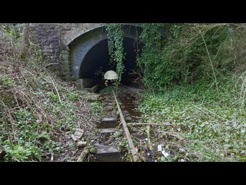
Abandoned Railway Walk, English Countryside 4K

https://www.buymeacoffee.com/Daveswalks All support is hugely appreciated and it helps me keep the channel going! No talking ...

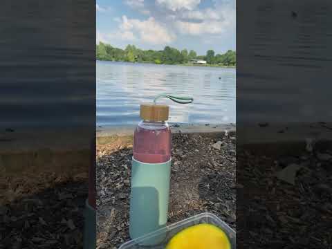
Chatterley Whitfield Heritage Park Stoke On Trent Staffordshire

So in todays walk we explore Chatterley Whitfield , This was completely new to me , never been there before so it was good to ...

Nearby Amenities

Located within 500m of 53.057093,-2.176774
Traffic Signals
Lat/Long: 53.0563216/-2.1747758
Barrier: bollard
Foot: yes
Lat/Long: 53.0571285/-2.176658
Barrier: bollard
Bicycle: yes
Bollard: fixed
Foot: yes
Lat/Long: 53.0532327/-2.1731957
Addr Postcode: ST6 7PL
Lat/Long: 53.0569455/-2.1777072
Bus Stop
Hayes Street
Bench: no
Bin: no
Bus: yes
Lit: yes
Naptan AtcoCode: 3890D034101
Naptan NaptanCode: stoagtwj
Public Transport: platform
Shelter: yes
Tactile Paving: no
Lat/Long: 53.0559553/-2.1744087
Addr City: Stoke-on-Trent
Addr Country: GB
Addr Housenumber: 102
Addr Street: Coseley Street
Lat/Long: 53.0535903/-2.1753809
Addr City: Stoke-on-Trent
Addr Country: GB
Addr Housenumber: 105
Addr Street: Coseley Street
Lat/Long: 53.0534864/-2.1754467
Addr City: Stoke-on-Trent
Addr Country: GB
Addr Housenumber: 70
Addr Street: Coseley Street
Lat/Long: 53.0528034/-2.1746206
Power: substation
Lat/Long: 53.0528397/-2.1747688
Addr City: Stoke-on-Trent
Addr Country: GB
Addr Housenumber: 89
Addr Street: Coseley Street
Lat/Long: 53.0529931/-2.1745684
Bus Stop
Hadfield Green
Bench: no
Bin: yes
Bus: yes
Check Date: 2010-03-27
Public Transport: platform
Shelter: no
Lat/Long: 53.054313/-2.1717099
Turning Circle
Lat/Long: 53.0552539/-2.1710503
Turning Circle
Lat/Long: 53.0545026/-2.1715163
Barrier: cycle_barrier
Lat/Long: 53.0603544/-2.1739557
Grit Bin
Lat/Long: 53.0530279/-2.174457
Barrier: kissing_gate
Foot: yes
Locked: no
Material: metal
Wheelchair: no
Lat/Long: 53.0540574/-2.1807203
Source: OS_OpenData_StreetView
Lat/Long: 53.0588493/-2.1728953
Check Date: 2023-10-10
Traffic Calming: hump
Lat/Long: 53.0573745/-2.1805588
Defibrillator
Emergency: defibrillator
Indoor: no
Opening Hours: 24/7
Lat/Long: 53.0563547/-2.1744662
Waste Basket
Waste: trash
Lat/Long: 53.0559043/-2.1702571
Barrier: stile
Material: metal
Stile: squeezer
Lat/Long: 53.0557752/-2.1712509
Barrier: kissing_gate
Material: metal
Wheelchair: no
Lat/Long: 53.0550824/-2.1788055
Waste Basket
Check Date: 2023-10-10
Lat/Long: 53.054607/-2.1814036
P&N News
Check Date Opening Hours: 2023-05-15
Opening Hours Signed: no
Phone: +44 1782 834313
Shop: newsagent
Lat/Long: 53.0546038/-2.1813493
Bargain Booze
Check Date Opening Hours: 2023-05-15
Opening Hours: Mo-Sa 08:00-21:00; Su 10:00-21:00
Opening Hours Signed: no
Shop: convenience
Lat/Long: 53.0545068/-2.1813098
Generator Method: photovoltaic
Generator Output Electricity: yes
Generator Source: solar
Generator Type: solar_photovoltaic_panel
Location: roof
Power: generator
Lat/Long: 53.0544654/-2.171208
Generator Method: photovoltaic
Generator Output Electricity: yes
Generator Source: solar
Generator Type: solar_photovoltaic_panel
Location: roof
Power: generator
Lat/Long: 53.0545895/-2.1707761
Generator Method: photovoltaic
Generator Output Electricity: yes
Generator Source: solar
Generator Type: solar_photovoltaic_panel
Location: roof
Power: generator
Lat/Long: 53.0534868/-2.1759689
Generator Method: photovoltaic
Generator Output Electricity: yes
Generator Source: solar
Generator Type: solar_photovoltaic_panel
Location: roof
Power: generator
Lat/Long: 53.0539076/-2.1752903
Generator Method: photovoltaic
Generator Output Electricity: yes
Generator Source: solar
Generator Type: solar_photovoltaic_panel
Location: roof
Power: generator
Lat/Long: 53.0557922/-2.1725518
Generator Method: photovoltaic
Generator Output Electricity: yes
Generator Source: solar
Generator Type: solar_photovoltaic_panel
Location: roof
Power: generator
Lat/Long: 53.0536029/-2.172887
Generator Method: photovoltaic
Generator Output Electricity: yes
Generator Source: solar
Generator Type: solar_photovoltaic_panel
Location: roof
Power: generator
Lat/Long: 53.0535223/-2.1725866
Generator Method: photovoltaic
Generator Output Electricity: yes
Generator Source: solar
Generator Type: solar_photovoltaic_panel
Location: roof
Power: generator
Lat/Long: 53.0538866/-2.173909
Generator Method: photovoltaic
Generator Output Electricity: yes
Generator Source: solar
Generator Type: solar_photovoltaic_panel
Location: roof
Power: generator
Lat/Long: 53.0535303/-2.1740565
Post Box
Lat/Long: 53.0608815/-2.1765924
Waste Basket
Lat/Long: 53.054266/-2.1809197
Traffic Calming: hump
Lat/Long: 53.0571712/-2.181296
Barrier: cycle_barrier
Material: metal
Lat/Long: 53.0560033/-2.1837342
Bus Stop
Credition Avenue
Bus: yes
Public Transport: platform
Lat/Long: 53.0608255/-2.1765957
Bus Stop
Credition Avenue
Bus: yes
Public Transport: platform
Lat/Long: 53.0602765/-2.1758932
Bus Stop
Bradeley, Main Entrance
Bus: yes
Public Transport: platform
Lat/Long: 53.0579663/-2.1789716
Bus Stop
Brammer Street (Hail & Ride)
Bus: yes
Public Transport: platform
Lat/Long: 53.0583755/-2.1782396
Bus Stop
Moorland View (Hail & Ride)
Bus: yes
Public Transport: platform
Lat/Long: 53.0582695/-2.176933
Bus Stop
Bradeley, Moorland View
Bus: yes
Public Transport: platform
Lat/Long: 53.0578309/-2.176056
Bus Stop
Bradeley, Moorland View
Bus: yes
Public Transport: platform
Lat/Long: 53.057012/-2.1752836
Bus Stop
Hadfield Green
Bus: yes
Public Transport: platform
Lat/Long: 53.0544191/-2.1722627
The data included in this document is from www.openstreetmap.org. The data is made available under ODbL.

Have you been to Bradeley?

Leave your review of Bradeley below (or comments, questions and feedback).