Braddocks Hay

Settlement in Staffordshire Staffordshire Moorlands

England

Braddocks Hay

Stone Sign
Stone Sign Credit: Neil Lewin

Braddocks Hay is a small village located in the county of Staffordshire, England. Situated approximately 7 miles southwest of the town of Stafford, it is nestled in a rural area surrounded by picturesque countryside.

The village is known for its tranquil and idyllic setting, offering residents and visitors a peaceful retreat away from the hustle and bustle of urban life. Braddocks Hay features a small but close-knit community, with a population of around 300 people.

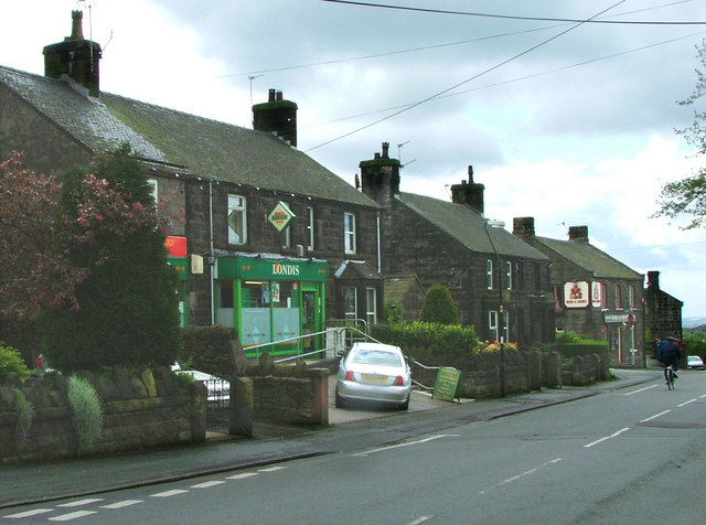
Historically, Braddocks Hay has its roots in agriculture, and remnants of its farming past can still be seen today. The village is characterized by charming old cottages and traditional buildings, which add to its quaint and timeless appeal.

Despite its small size, Braddocks Hay boasts a number of amenities and services to cater to the needs of its residents. These include a village hall, a primary school, a local pub, and a church. Additionally, the village is well-connected to nearby towns and cities, with good transport links and access to major road networks.

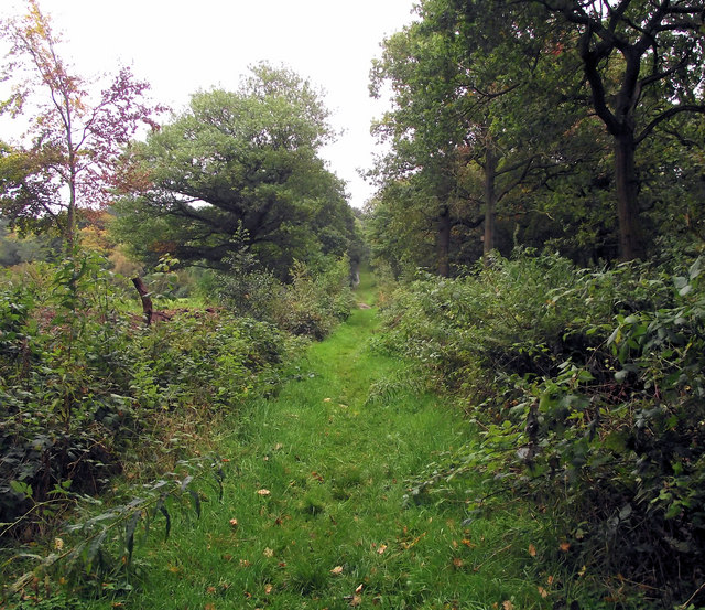
The surrounding area offers plenty of opportunities for outdoor activities, with numerous walking and cycling routes crisscrossing the countryside. The nearby Staffordshire Moorlands provide breathtaking views, while the Cannock Chase Area of Outstanding Natural Beauty is just a short drive away.

In summary, Braddocks Hay is a charming and peaceful village in the heart of Staffordshire, offering a close-knit community, beautiful countryside, and a range of amenities for its residents to enjoy.

If you have any feedback on the listing, please let us know in the comments section below.

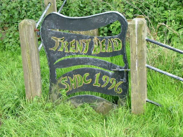
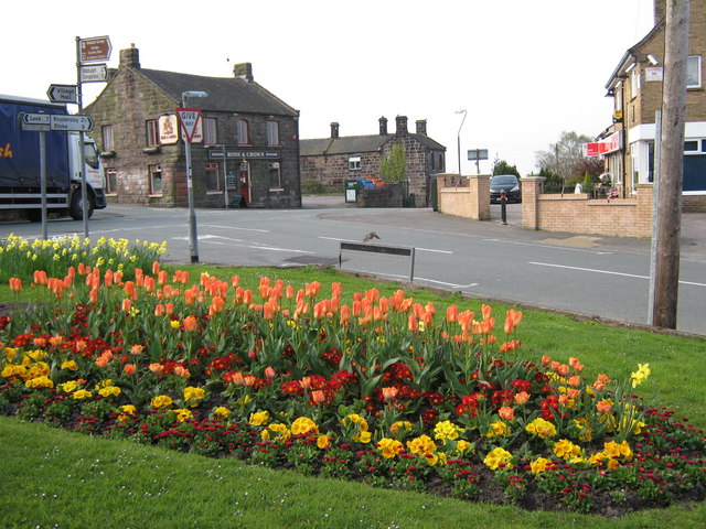
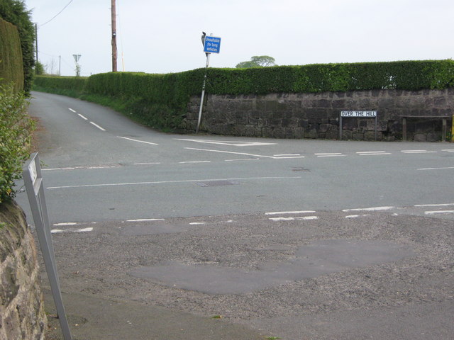
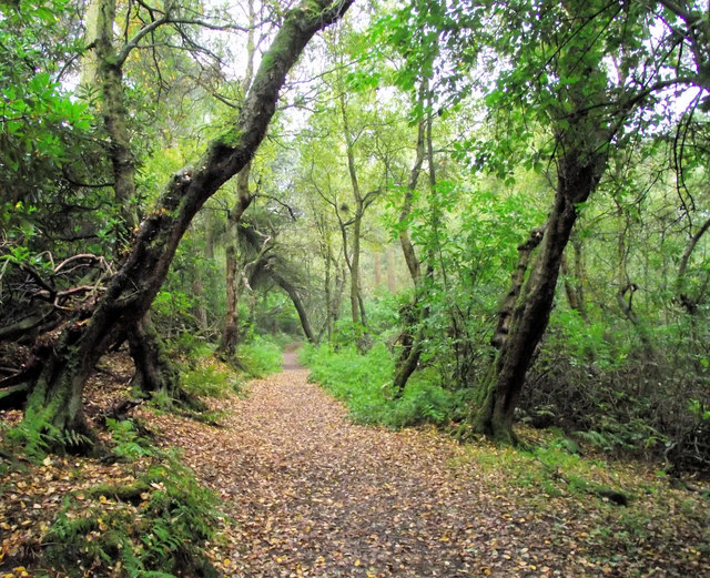
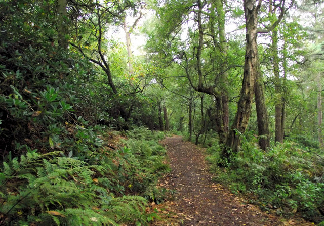
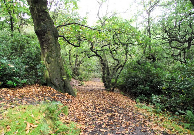
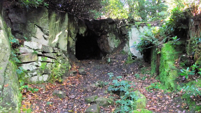
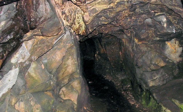
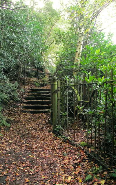
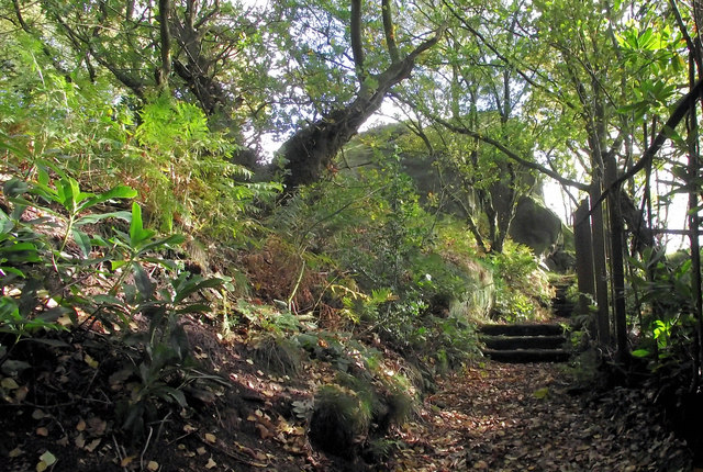
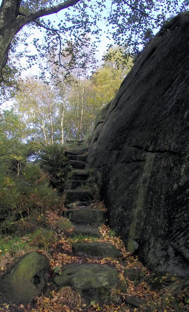
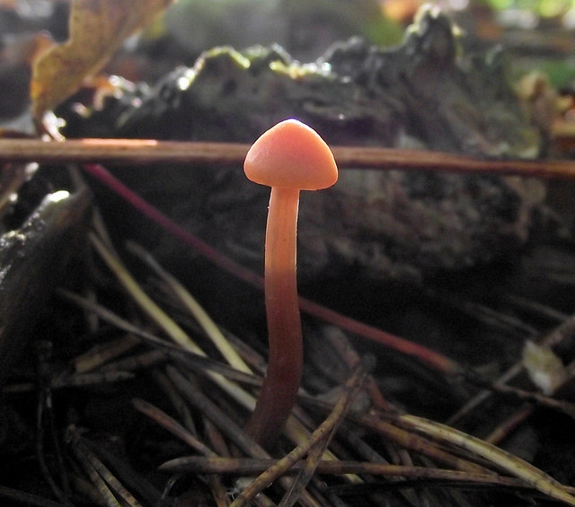
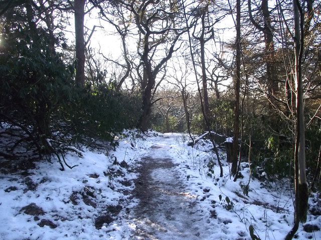
Braddocks Hay Images

Images are sourced within 2km of 53.114637/-2.167896 or Grid Reference SJ8857. Thanks to Geograph Open Source API. All images are credited.

Stone Sign
Stone Sign
Biddulph Moor Village Centre Two pubs, two shops (which between them form a Post Office, hairdresser, newsagent, video rental and two off-licences plus parking for the chip-van on Friday tea-time) and several churches. ie a 21st century self-sufficient village.
Biddulph Moor Village Centre
Two pubs, two shops (which between them form a Post Office, hairdresser, newsagent, video rental and two off-licences plus parking for the chip-van on Friday tea-time) and several churches. ie a 21st century self-sufficient village.
The source of the River Trent This 'well' is the start of the River Trent complete with a commemorative stone marked 1935.
The source of the River Trent
This 'well' is the start of the River Trent complete with a commemorative stone marked 1935.
Trent Head Well Overall view of the source of the River Trent. The actual well is at the bottom right.
Trent Head Well
Overall view of the source of the River Trent. The actual well is at the bottom right.
Trent Head Well II A commemorative gate and protective fence fitted by Staffordshire Moorlands District Council in 1996.
Trent Head Well II
A commemorative gate and protective fence fitted by Staffordshire Moorlands District Council in 1996.
Rose and Crown, Biddulph Moor A lovely stone-built pub located in the heart of the village. There is a very worn bench mark on the nearest corner (<a href="https://www.geograph.org.uk/photo/2225617">SJ9058 : Bench mark on the Rose and Crown</a>), for a close up of the sign see <a href="https://www.geograph.org.uk/photo/2225591">SJ9058 : Sign for the Rose and Crown</a>. For another view see <a href="https://www.geograph.org.uk/photo/2225539">SJ9058 : Rose and Crown</a>.
Rose and Crown, Biddulph Moor
A lovely stone-built pub located in the heart of the village. There is a very worn bench mark on the nearest corner (SJ9058 : Bench mark on the Rose and Crown), for a close up of the sign see SJ9058 : Sign for the Rose and Crown. For another view see SJ9058 : Rose and Crown.
When you know you've reached that "certain age" Seen from its junction with Woodhouse Lane, Over The Hill goes from here to join Hurst Road and Under The Hill. There is a benchmark just out of shot on the wall to the right of the bench (<a href="https://www.geograph.org.uk/photo/2225217">SJ9058 : Hydrant sign and bench mark</a>).
When you know you've reached that "certain age"
Seen from its junction with Woodhouse Lane, Over The Hill goes from here to join Hurst Road and Under The Hill. There is a benchmark just out of shot on the wall to the right of the bench (SJ9058 : Hydrant sign and bench mark).
Looking up the Long Walk Taken from close to the southern end of <a href="https://www.geograph.org.uk/photo/2089811">SJ8959 : The fishpool</a> on the left, this view crosses two gridlines. The Long Walk starts as the Wellingtonia Walk in Biddulph Grange Gardens and carries in a dead straight line through the Grange Country Park, ending close to Biddulph Moor.
Looking up the Long Walk
Taken from close to the southern end of SJ8959 : The fishpool on the left, this view crosses two gridlines. The Long Walk starts as the Wellingtonia Walk in Biddulph Grange Gardens and carries in a dead straight line through the Grange Country Park, ending close to Biddulph Moor.
Walking through Spring Wood This path carries on from <a href="https://www.geograph.org.uk/photo/2092561">SJ9059 : Through the Beech trees</a> and leads through Spring Wood towards the top end of the Long Walk. The woodland here will soon be a lot more open as the Rhododendron bushes are cleared to try and eradicate the Sudden Oak Death disease that has been discovered here.

Phytophthora ramorum, or Sudden Oak Death, is a plant disease (or pathogen) that kills Oaks and many other species of trees that has caused devastation in a lot of forests in America. In 2002 it was found in the UK, specifically in container grown Rhododendron, Camellia and Viburnum plants being sold by nurseries, since when it has been found on Rhododendron plants (amongst other species) growing in the wild. It appears from research carried out that the pathogen produces a non-fatal disease in the leaves of Rhododendrons, called “ramorum dieback “, these infected plants seem to act as a host for the disease which then releases spores that are carried by wind and water plus on the footwear of humans and the coats of animals. Although research and development is in place to try and find a cure for this disease, at present the only way to control it is to try and contain it by eradicating the affected plants. Phytophthora ramorum was found to be existing amongst the many Rhododendrons growing on Biddulph Grange Country Park and the Staffordshire Moorlands District Council were served a Statutory Notice by DEFRA (Department for Environment, Food and Rural Affairs) to remove all the Rhododendrons growing on the park by 2012. Unfortunately, this will mean the loss of a lot of colour in the Spring woodlands here as well as completely changing the look of an area known as the Himalayan Walk- named for the origins of the Rhododendron. For more information see DEFRA's website at <span class="nowrap"><a title="http://www.fera.defra.gov.uk/plants/plantHealth/pestsDiseases/phytophthora/pRamorum/index.cfm" rel="nofollow ugc noopener" href="http://www.fera.defra.gov.uk/plants/plantHealth/pestsDiseases/phytophthora/pRamorum/index.cfm">Link</a><img style="margin-left:2px;" alt="External link" title="External link - shift click to open in new window" src="https://s1.geograph.org.uk/img/external.png" width="10" height="10"/></span> and Wikipedia at <span class="nowrap"><a title="http://en.wikipedia.org/wiki/Sudden_oak_death" rel="nofollow ugc noopener" href="http://en.wikipedia.org/wiki/Sudden_oak_death">Link</a><img style="margin-left:2px;" alt="External link" title="External link - shift click to open in new window" src="https://s1.geograph.org.uk/img/external.png" width="10" height="10"/></span> .
Walking through Spring Wood
This path carries on from SJ9059 : Through the Beech trees and leads through Spring Wood towards the top end of the Long Walk. The woodland here will soon be a lot more open as the Rhododendron bushes are cleared to try and eradicate the Sudden Oak Death disease that has been discovered here. Phytophthora ramorum, or Sudden Oak Death, is a plant disease (or pathogen) that kills Oaks and many other species of trees that has caused devastation in a lot of forests in America. In 2002 it was found in the UK, specifically in container grown Rhododendron, Camellia and Viburnum plants being sold by nurseries, since when it has been found on Rhododendron plants (amongst other species) growing in the wild. It appears from research carried out that the pathogen produces a non-fatal disease in the leaves of Rhododendrons, called “ramorum dieback “, these infected plants seem to act as a host for the disease which then releases spores that are carried by wind and water plus on the footwear of humans and the coats of animals. Although research and development is in place to try and find a cure for this disease, at present the only way to control it is to try and contain it by eradicating the affected plants. Phytophthora ramorum was found to be existing amongst the many Rhododendrons growing on Biddulph Grange Country Park and the Staffordshire Moorlands District Council were served a Statutory Notice by DEFRA (Department for Environment, Food and Rural Affairs) to remove all the Rhododendrons growing on the park by 2012. Unfortunately, this will mean the loss of a lot of colour in the Spring woodlands here as well as completely changing the look of an area known as the Himalayan Walk- named for the origins of the Rhododendron. For more information see DEFRA's website at LinkExternal link and Wikipedia at LinkExternal link .
Heading towards the Long Walk This is approaching the top end of the Long Walk through Spring Wood, part of Biddulph Grange Country Park. This picture was taken just a little further along from <a href="https://www.geograph.org.uk/photo/2092568">SJ9059 : Walking through Spring Wood</a>, and like that scene it too will change when the Rhododendron bushes are removed to try and contain the Sudden Oak Death disease found here.

Phytophthora ramorum, or Sudden Oak Death, is a plant disease (or pathogen) that kills Oaks and many other species of trees that has caused devastation in a lot of forests in America. In 2002 it was found in the UK, specifically in container grown Rhododendron, Camellia and Viburnum plants being sold by nurseries, since when it has been found on Rhododendron plants (amongst other species) growing in the wild. It appears from research carried out that the pathogen produces a non-fatal disease in the leaves of Rhododendrons, called “ramorum dieback “, these infected plants seem to act as a host for the disease which then releases spores that are carried by wind and water plus on the footwear of humans and the coats of animals. Although research and development is in place to try and find a cure for this disease, at present the only way to control it is to try and contain it by eradicating the affected plants. Phytophthora ramorum was found to be existing amongst the many Rhododendrons growing on Biddulph Grange Country Park and the Staffordshire Moorlands District Council were served a Statutory Notice by DEFRA (Department for Environment, Food and Rural Affairs) to remove all the Rhododendrons growing on the park by 2012. Unfortunately, this will mean the loss of a lot of colour in the Spring woodlands here as well as completely changing the look of an area known as the Himalayan Walk- named for the origins of the Rhododendron. For more information see DEFRA's website at <span class="nowrap"><a title="http://www.fera.defra.gov.uk/plants/plantHealth/pestsDiseases/phytophthora/pRamorum/index.cfm" rel="nofollow ugc noopener" href="http://www.fera.defra.gov.uk/plants/plantHealth/pestsDiseases/phytophthora/pRamorum/index.cfm">Link</a><img style="margin-left:2px;" alt="External link" title="External link - shift click to open in new window" src="https://s1.geograph.org.uk/img/external.png" width="10" height="10"/></span> and Wikipedia at <span class="nowrap"><a title="http://en.wikipedia.org/wiki/Sudden_oak_death" rel="nofollow ugc noopener" href="http://en.wikipedia.org/wiki/Sudden_oak_death">Link</a><img style="margin-left:2px;" alt="External link" title="External link - shift click to open in new window" src="https://s1.geograph.org.uk/img/external.png" width="10" height="10"/></span> .
Heading towards the Long Walk
This is approaching the top end of the Long Walk through Spring Wood, part of Biddulph Grange Country Park. This picture was taken just a little further along from SJ9059 : Walking through Spring Wood, and like that scene it too will change when the Rhododendron bushes are removed to try and contain the Sudden Oak Death disease found here. Phytophthora ramorum, or Sudden Oak Death, is a plant disease (or pathogen) that kills Oaks and many other species of trees that has caused devastation in a lot of forests in America. In 2002 it was found in the UK, specifically in container grown Rhododendron, Camellia and Viburnum plants being sold by nurseries, since when it has been found on Rhododendron plants (amongst other species) growing in the wild. It appears from research carried out that the pathogen produces a non-fatal disease in the leaves of Rhododendrons, called “ramorum dieback “, these infected plants seem to act as a host for the disease which then releases spores that are carried by wind and water plus on the footwear of humans and the coats of animals. Although research and development is in place to try and find a cure for this disease, at present the only way to control it is to try and contain it by eradicating the affected plants. Phytophthora ramorum was found to be existing amongst the many Rhododendrons growing on Biddulph Grange Country Park and the Staffordshire Moorlands District Council were served a Statutory Notice by DEFRA (Department for Environment, Food and Rural Affairs) to remove all the Rhododendrons growing on the park by 2012. Unfortunately, this will mean the loss of a lot of colour in the Spring woodlands here as well as completely changing the look of an area known as the Himalayan Walk- named for the origins of the Rhododendron. For more information see DEFRA's website at LinkExternal link and Wikipedia at LinkExternal link .
Looking away from the top of the Long Walk Looking in a south-westerly direction from the upper end of the Long Walk (<a href="https://www.geograph.org.uk/photo/2092629">SJ8959 : Looking down the Long Walk</a>) in Spring Wood at the top of Biddulph Grange Country Park, from here it goes towards the Round Stone and Sprink Side Farm. The woods here will become more open as the Rhododendron bushes are removed to try and contain the Sudden Oak Death disease that they are harbouring.

Phytophthora ramorum, or Sudden Oak Death, is a plant disease (or pathogen) that kills Oaks and many other species of trees that has caused devastation in a lot of forests in America. In 2002 it was found in the UK, specifically in container grown Rhododendron, Camellia and Viburnum plants being sold by nurseries, since when it has been found on Rhododendron plants (amongst other species) growing in the wild. It appears from research carried out that the pathogen produces a non-fatal disease in the leaves of Rhododendrons, called “ramorum dieback “, these infected plants seem to act as a host for the disease which then releases spores that are carried by wind and water plus on the footwear of humans and the coats of animals. Although research and development is in place to try and find a cure for this disease, at present the only way to control it is to try and contain it by eradicating the affected plants. Phytophthora ramorum was found to be existing amongst the many Rhododendrons growing on Biddulph Grange Country Park and the Staffordshire Moorlands District Council were served a Statutory Notice by DEFRA (Department for Environment, Food and Rural Affairs) to remove all the Rhododendrons growing on the park by 2012. Unfortunately, this will mean the loss of a lot of colour in the Spring woodlands here as well as completely changing the look of an area known as the Himalayan Walk- named for the origins of the Rhododendron. For more information see DEFRA's website at <span class="nowrap"><a title="http://www.fera.defra.gov.uk/plants/plantHealth/pestsDiseases/phytophthora/pRamorum/index.cfm" rel="nofollow ugc noopener" href="http://www.fera.defra.gov.uk/plants/plantHealth/pestsDiseases/phytophthora/pRamorum/index.cfm">Link</a><img style="margin-left:2px;" alt="External link" title="External link - shift click to open in new window" src="https://s1.geograph.org.uk/img/external.png" width="10" height="10"/></span> and Wikipedia at <span class="nowrap"><a title="http://en.wikipedia.org/wiki/Sudden_oak_death" rel="nofollow ugc noopener" href="http://en.wikipedia.org/wiki/Sudden_oak_death">Link</a><img style="margin-left:2px;" alt="External link" title="External link - shift click to open in new window" src="https://s1.geograph.org.uk/img/external.png" width="10" height="10"/></span> .
Looking away from the top of the Long Walk
Looking in a south-westerly direction from the upper end of the Long Walk (SJ8959 : Looking down the Long Walk) in Spring Wood at the top of Biddulph Grange Country Park, from here it goes towards the Round Stone and Sprink Side Farm. The woods here will become more open as the Rhododendron bushes are removed to try and contain the Sudden Oak Death disease that they are harbouring. Phytophthora ramorum, or Sudden Oak Death, is a plant disease (or pathogen) that kills Oaks and many other species of trees that has caused devastation in a lot of forests in America. In 2002 it was found in the UK, specifically in container grown Rhododendron, Camellia and Viburnum plants being sold by nurseries, since when it has been found on Rhododendron plants (amongst other species) growing in the wild. It appears from research carried out that the pathogen produces a non-fatal disease in the leaves of Rhododendrons, called “ramorum dieback “, these infected plants seem to act as a host for the disease which then releases spores that are carried by wind and water plus on the footwear of humans and the coats of animals. Although research and development is in place to try and find a cure for this disease, at present the only way to control it is to try and contain it by eradicating the affected plants. Phytophthora ramorum was found to be existing amongst the many Rhododendrons growing on Biddulph Grange Country Park and the Staffordshire Moorlands District Council were served a Statutory Notice by DEFRA (Department for Environment, Food and Rural Affairs) to remove all the Rhododendrons growing on the park by 2012. Unfortunately, this will mean the loss of a lot of colour in the Spring woodlands here as well as completely changing the look of an area known as the Himalayan Walk- named for the origins of the Rhododendron. For more information see DEFRA's website at LinkExternal link and Wikipedia at LinkExternal link .
Entrance to the tunnel This cave-like hole is the start of a man-made tunnel that leads from the top of the Long Walk on Biddulph Grange Country Park to Hurst Road about 200 metres away. It has been blocked off at some point underground, I ventured in for quite a way but did not have a torch, so I am not sure how far it actually goes. The tunnel, apparently, was dug to allow staff from the Grange a shorter route home to Biddulph Moor.
Entrance to the tunnel
This cave-like hole is the start of a man-made tunnel that leads from the top of the Long Walk on Biddulph Grange Country Park to Hurst Road about 200 metres away. It has been blocked off at some point underground, I ventured in for quite a way but did not have a torch, so I am not sure how far it actually goes. The tunnel, apparently, was dug to allow staff from the Grange a shorter route home to Biddulph Moor.
Interior of the tunnel Taken from just inside the <a href="https://www.geograph.org.uk/photo/2101529">SJ9058 : Entrance to the tunnel</a>, there is a stone seat in an alcove just visible to the right of the picture and the tunnel leads on towards a corner ahead. The man-made tunnel is located at the top of the Long Walk on Biddulph Grange Country Park and, although now blocked up, it went approximately 200 metres to Hurst Road and was a short-cut for staff from the Grange to Biddulph Moor. The common type of stone in this area is Derbyshire gritstone, but the camera flash seems to pick out an amalgam of types here, including a piece of Quartz just above the seat.
Interior of the tunnel
Taken from just inside the SJ9058 : Entrance to the tunnel, there is a stone seat in an alcove just visible to the right of the picture and the tunnel leads on towards a corner ahead. The man-made tunnel is located at the top of the Long Walk on Biddulph Grange Country Park and, although now blocked up, it went approximately 200 metres to Hurst Road and was a short-cut for staff from the Grange to Biddulph Moor. The common type of stone in this area is Derbyshire gritstone, but the camera flash seems to pick out an amalgam of types here, including a piece of Quartz just above the seat.
Steps to the Round Rock These steps lead up to the Round Rock (<a href="https://www.geograph.org.uk/photo/2101659">SJ9058 : The Round Rock appears</a>), a natural gritstone outcrop situated on the southernmost corner of Biddulph Grange Country Park. The old, now disused, gate on the right would probably have been the entrance to the park from Sprink Side Farm.
Steps to the Round Rock
These steps lead up to the Round Rock (SJ9058 : The Round Rock appears), a natural gritstone outcrop situated on the southernmost corner of Biddulph Grange Country Park. The old, now disused, gate on the right would probably have been the entrance to the park from Sprink Side Farm.
The Round Rock appears Turning the corner from where <a href="https://www.geograph.org.uk/photo/2101642">SJ9058 : Steps to the Round Rock</a> was taken and the Round Rock looms above you. A natural gritstone outcrop it is situated on the southernmost boundary of Biddulph Grange Country Park and is well worth the effort in getting to.
The Round Rock appears
Turning the corner from where SJ9058 : Steps to the Round Rock was taken and the Round Rock looms above you. A natural gritstone outcrop it is situated on the southernmost boundary of Biddulph Grange Country Park and is well worth the effort in getting to.
Steps to the top These steps are partly laid slabs and partly cut out of the rock, and lead to the top the Round Rock (<a href="https://www.geograph.org.uk/photo/2101659">SJ9058 : The Round Rock appears</a>). The Round Rock is a natural gritstone outcrop located at the southernmost boundary of Biddulph Grange Country Park.
Steps to the top
These steps are partly laid slabs and partly cut out of the rock, and lead to the top the Round Rock (SJ9058 : The Round Rock appears). The Round Rock is a natural gritstone outcrop located at the southernmost boundary of Biddulph Grange Country Park.
Translucent toadstool Found not far from the top boundary of Biddulph Grange Country Park, the sun shining through this toadstool made it look like a little candle. It has been possibly identified as a Laccaria laccata, but unfortunately the picture isn't really clear enough for a proper identification (my thanks to Mike Richardson <a title="https://www.geograph.org.uk/profile/15498" href="https://www.geograph.org.uk/profile/15498">Link</a> for the information). It was approximately 3-4 centimetres in height and about 1 centimetre in diameter. The habitat was near the edge of mixed woodland mainly of Oak, Beech and Pine, not far from some meadowland and it seemed to be solitary although there was another one growing about 3 metres away.
Translucent toadstool
Found not far from the top boundary of Biddulph Grange Country Park, the sun shining through this toadstool made it look like a little candle. It has been possibly identified as a Laccaria laccata, but unfortunately the picture isn't really clear enough for a proper identification (my thanks to Mike Richardson Link for the information). It was approximately 3-4 centimetres in height and about 1 centimetre in diameter. The habitat was near the edge of mixed woodland mainly of Oak, Beech and Pine, not far from some meadowland and it seemed to be solitary although there was another one growing about 3 metres away.
Winter in Spring Wood Looking along the path near the top of Biddulph Grange Country Park towards the top of the Long Walk.
Winter in Spring Wood
Looking along the path near the top of Biddulph Grange Country Park towards the top of the Long Walk.
Show me another place!

Braddocks Hay is located at Grid Ref: SJ8857 (Lat: 53.114637, Lng: -2.167896)

Administrative County: Staffordshire

District: Staffordshire Moorlands

Police Authority: Staffordshire

What 3 Words

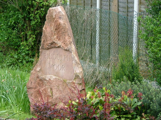
///fine.dating.advancing. Near Biddulph, Staffordshire

Related Wikis

Biddulph

Biddulph is a town in Staffordshire, England, 8.5 miles (14 km) north of Stoke-on-Trent and 4.5 miles (7 km) south-east of Congleton, Cheshire. == Origin... ==

Braddocks Hay

Braddocks Hay is a village in Staffordshire, England. Population details for the 2011 census can be found under Biddulph

Biddulph High School

Biddulph High School is a mixed upper school (termed 'high school') and sixth form located in the Knypersley area of Biddulph in the English county of...

Biddulph railway station

Biddulph railway station was a railway station opened by the North Staffordshire Railway in 1864. Originally named Gillow Heath the station was renamed...

Knypersley Hall

Knypersley Hall is an 18th-century Georgian style country mansion at Biddulph, Staffordshire, England. It is protected as a Grade II* listed building....

Tunstall Road

Tunstall Road, also known as Victoria and Knypersley Social Welfare Centre, is a cricket ground in Knypersley, Staffordshire. The ground is located along...

Biddulph Grange

Biddulph Grange is a National Trust landscaped garden, in Biddulph near Stoke-on-Trent, Staffordshire, England. It is separate from Biddulph Grange Country...

Biddulph Grange Country Park

Biddulph Grange Country Park is a country park in Biddulph, UK. It was originally part of Biddulph Grange. == Contents == The 73 acres (0.30 km2) park...

Nearby Amenities

Located within 500m of 53.114637,-2.167896
Biddulph
Place: town
Wikidata: Q1109566
Wikipedia: en:Biddulph
Lat/Long: 53.1164587/-2.1730905
Turning Circle
Lat/Long: 53.1182881/-2.1652644
Turning Circle
Lat/Long: 53.1184641/-2.1665528
Turning Circle
Lat/Long: 53.1170638/-2.1658029
Turning Circle
Lat/Long: 53.1165825/-2.1646403
Turning Circle
Lat/Long: 53.1169003/-2.1637726
Turning Circle
Lat/Long: 53.1175497/-2.1642149
Turning Circle
Lat/Long: 53.1156986/-2.1625091
Turning Circle
Lat/Long: 53.116044/-2.1633091
Turning Circle
Lat/Long: 53.1163269/-2.1626035
Turning Circle
Lat/Long: 53.1161203/-2.1618095
Mini Roundabout
Direction: clockwise
Lat/Long: 53.1131606/-2.1678644
Turning Circle
Lat/Long: 53.1116881/-2.1651533
Turning Circle
Lat/Long: 53.1125311/-2.16481
Turning Circle
Lat/Long: 53.1112596/-2.1632639
Turning Circle
Lat/Long: 53.1137538/-2.1663889
Turning Circle
Lat/Long: 53.112138/-2.1653808
Bus Stop
Asquith Close
Bus: yes
Naptan AtcoCode: 3800C817501
Naptan Bearing: N
Naptan CommonName: Asquith Close
Naptan Indicator: Opp
Naptan Landmark: Asquith Close
Naptan PlusbusZoneRef: STOKEOT
Naptan Street: Thames Dr
Naptan Verified: no
Public Transport: platform
Source: naptan_import
Lat/Long: 53.1179791/-2.1668225
Post Box
Ref: ST8 805
Lat/Long: 53.1165088/-2.1640889
Bus Stop
o/s no. 36
Bus: yes
Naptan AtcoCode: 3800C818201
Naptan Bearing: SW
Naptan CommonName: o/s no. 36
Naptan Indicator: Adj
Naptan Landmark: o/s no. 36
Naptan PlusbusZoneRef: STOKEOT
Naptan Street: Thames Drive
Naptan Verified: no
Public Transport: platform
Source: naptan_import
Lat/Long: 53.116594/-2.1635452
Barrier: bollard
Lat/Long: 53.1175603/-2.1653889
Barrier: bollard
Lat/Long: 53.1170607/-2.1659004
Recycling
Lat/Long: 53.1190975/-2.1684599
Fixme: continues?
Lat/Long: 53.1170168/-2.1713926
Dentist
Keen Dental Care
Healthcare: dentist
Lat/Long: 53.1146291/-2.1752854
Bus Stop
John Street
Bus: yes
Naptan AtcoCode: 3800C851302
Naptan Bearing: E
Naptan CommonName: John Street
Naptan Indicator: Adj
Naptan Landmark: John St
Naptan PlusbusZoneRef: STOKEOT
Naptan Street: Well St
Naptan Verified: no
Public Transport: platform
Source: naptan_import
Lat/Long: 53.1147442/-2.1748182
Bus Stop
Kingsfield Centre
Bus: yes
Naptan AtcoCode: 3800C801200
Naptan Bearing: NE
Naptan CommonName: Kingsfield Centre
Naptan Indicator: Adj
Naptan Landmark: Kingsfield Centre
Naptan PlusbusZoneRef: STOKEOT
Naptan Street: Kingsfield Rd
Naptan Verified: no
Public Transport: platform
Source: naptan_import
Lat/Long: 53.1149622/-2.1732952
Bus Stop
Albert Street
Bus: yes
Naptan AtcoCode: 3800C851801
Naptan Bearing: E
Naptan CommonName: Albert Street
Naptan Indicator: Adj
Naptan Landmark: Albert St
Naptan PlusbusZoneRef: STOKEOT
Naptan Street: Kingsfield Rd
Naptan Verified: no
Public Transport: platform
Source: naptan_import
Lat/Long: 53.1160249/-2.1719398
Bus Stop
Lawton Street
Bench: no
Bin: no
Bus: yes
Naptan AtcoCode: 3800C851902
Naptan Bearing: E
Naptan CommonName: Lawton Street
Naptan Indicator: Adj
Naptan Landmark: Lawton St
Naptan PlusbusZoneRef: STOKEOT
Naptan Street: Kingsfield Rd
Naptan Verified: no
Public Transport: platform
Shelter: no
Source: naptan_import
Tactile Paving: yes
Lat/Long: 53.116729/-2.1698658
Bus Stop
Albert Street
Bench: no
Bin: yes
Bus: yes
Lit: yes
Naptan AtcoCode: 3800C851901
Naptan Bearing: W
Naptan CommonName: Albert Street
Naptan Indicator: Adj
Naptan Landmark: Albert St
Naptan PlusbusZoneRef: STOKEOT
Naptan Street: Kingsfield Rd
Naptan Verified: no
Public Transport: platform
Shelter: no
Source: naptan_import
Tactile Paving: yes
Lat/Long: 53.1165662/-2.170085
Kindergarten
Staffordshire Moorlands SureStart Children's Centre
Lat/Long: 53.116423/-2.170402
Post Box
Collection Times: Mo-Fr 09:00; Sa 07:00
Ref: ST8 802
Royal Cypher: EIIR
Royal Cypher Wikidata: Q33102113
Lat/Long: 53.1159182/-2.170149
Bus Stop
Princess Street
Bus: yes
Naptan AtcoCode: 3800C851501
Naptan Bearing: E
Naptan CommonName: Princess Street
Naptan Indicator: Adj
Naptan Landmark: Princess St
Naptan PlusbusZoneRef: STOKEOT
Naptan Street: Well St
Naptan Verified: no
Public Transport: platform
Shelter: yes
Source: naptan_import
Lat/Long: 53.1142002/-2.1718429
Pharmacy
Well Street Pharmacy
Addr City: Biddulph
Addr Postcode: ST8 6EZ
Addr Street: Well Street
Dispensing: yes
Fixme: needs resurvey
Healthcare: pharmacy
Not Brand Wikidata: Q7726524
Opening Hours: Mo-Fr 07:30-22:30; Sa 07:30-22:30; Su 09:00-19:00
Phone: +44 1782 523567
Lat/Long: 53.1144092/-2.168947
Bus Stop
Well Street
Bus: yes
Naptan AtcoCode: 3800C851701
Naptan Bearing: N
Naptan CommonName: Well Street
Naptan Indicator: Adj
Naptan Landmark: Well St
Naptan PlusbusZoneRef: STOKEOT
Naptan Street: Princess St
Naptan Verified: no
Public Transport: platform
Source: naptan_import
Lat/Long: 53.1140292/-2.1715102
Bus Stop
Biddulph, Well Street / Kingsfield Road
Bus: yes
Naptan AtcoCode: 3800C801201
Naptan Bearing: NW
Naptan CommonName: Kingsfield Road
Naptan Indicator: opp
Naptan Landmark: Kingsfield Centre
Naptan LocalityName: Biddulph
Naptan NaptanCode: stagjmgd
Naptan PlusbusZoneRef: STOKEOT
Naptan ShortCommonName: Kingsfield Rd
Naptan Street: Well Street
Naptan Verified: no
Public Transport: platform
Source: naptan_import
Lat/Long: 53.114348/-2.1739345
Bicycle Parking
Bicycle Parking: stands
Capacity: 4
Check Date: 2022-12-31
Covered: no
Lat/Long: 53.1166675/-2.1697785
Pub
The Barley Mow
Addr Postcode: ST8 6NE
Addr Street: Church Road
Fhrs Id: 1259440
Source Addr: FHRS Open Data
Lat/Long: 53.1112742/-2.1689004
Community Centre
Biddulph Youth Centre
Community Centre For: juvenile
Lat/Long: 53.1116838/-2.1691364
Place Of Worship
Catholic Church of the English Martyrs
Denomination: catholic
Religion: christian
Lat/Long: 53.1119655/-2.1695521
Place Of Worship
Biddulph Gospel Mission
Denomination: baptist
Religion: christian
Lat/Long: 53.112412/-2.1692254
Care Home
Tall Oak Care Home
Lat/Long: 53.1133128/-2.1720391
Fast Food
Cuisine: fish_and_chips
Lat/Long: 53.113413/-2.1741498
Bus Stop
Police Station
Bus: yes
Naptan AtcoCode: 3800C816800
Naptan Bearing: NW
Naptan CommonName: Police Station
Naptan Indicator: Adj
Naptan Landmark: Police Stn
Naptan PlusbusZoneRef: STOKEOT
Naptan Street: Princess St
Naptan Verified: no
Public Transport: platform
Source: naptan_import
Lat/Long: 53.1131106/-2.1706231
Bus Stop
The Barley Mow PH
Bus: yes
Naptan AtcoCode: 3800C817100
Naptan Bearing: S
Naptan CommonName: The Barley Mow PH
Naptan Indicator: Opp
Naptan Landmark: Barley Mow PH
Naptan PlusbusZoneRef: STOKEOT
Naptan Street: Church Rd
Naptan Verified: no
Public Transport: platform
Source: naptan_import
Lat/Long: 53.1109869/-2.1684837
Bus Stop
The Barley Mow PH
Naptan AtcoCode: 3800C817101
Naptan Bearing: N
Naptan BusStopType: CUS
Naptan CommonName: The Barley Mow PH
Naptan Indicator: Adj
Naptan Landmark: The Barley Mow PH
Naptan PlusbusZoneRef: STOKEOT
Naptan Street: Church Rd
Naptan Verified: no
Source: naptan_import
Lat/Long: 53.1112473/-2.168664
Bus Stop
St. John's Road
Bus: yes
Naptan AtcoCode: 3800C851601
Naptan Bearing: S
Naptan CommonName: St. John's Road
Naptan Indicator: Adj
Naptan Landmark: Cornfield Rd
Naptan PlusbusZoneRef: STOKEOT
Naptan Street: Lawton St
Naptan Verified: no
Public Transport: platform
Source: naptan_import
Lat/Long: 53.1138282/-2.1679271
Bus Stop
Biddulph Medical Centre
Bus: yes
Naptan AtcoCode: 3800C851602
Naptan Bearing: N
Naptan CommonName: Biddulph Medical Centre
Naptan Indicator: Adj
Naptan Landmark: Medical Centre
Naptan PlusbusZoneRef: STOKEOT
Naptan Street: Lawton St
Naptan Verified: no
Public Transport: platform
Source: naptan_import
Lat/Long: 53.1144573/-2.168079
Bus Stop
Highfield Road East
Bus: yes
Naptan AtcoCode: 3800C852001
Naptan Bearing: S
Naptan CommonName: Highfield Road East
Naptan Indicator: Opp
Naptan Landmark: Highfield Road East
Naptan PlusbusZoneRef: STOKEOT
Naptan Street: Lawton St
Naptan Verified: no
Public Transport: platform
Source: naptan_import
Lat/Long: 53.1151493/-2.1681863
Bus Stop
Highfield Road East
Bus: yes
Naptan AtcoCode: 3800C852002
Naptan Bearing: N
Naptan CommonName: Highfield Road East
Naptan Indicator: Adj
Naptan Landmark: Highfield Road East
Naptan PlusbusZoneRef: STOKEOT
Naptan Street: Lawton St
Naptan Verified: no
Public Transport: platform
Source: naptan_import
Lat/Long: 53.1153377/-2.168426
Bus Stop
Lord Street
Bus: yes
Naptan AtcoCode: 3800C852601
Naptan Bearing: S
Naptan CommonName: Lord Street
Naptan Indicator: Adj
Naptan Landmark: Lord St
Naptan PlusbusZoneRef: STOKEOT
Naptan Street: Church St
Naptan Verified: no
Public Transport: platform
Source: naptan_import
Lat/Long: 53.1122702/-2.169302
Bus Stop
English Martyrs Church
Bus: yes
Naptan AtcoCode: 3800C852602
Naptan Bearing: N
Naptan CommonName: English Martyrs Church
Naptan Indicator: Adj
Naptan Landmark: English Martyrs Church
Naptan PlusbusZoneRef: STOKEOT
Naptan Street: Church St
Naptan Verified: no
Public Transport: platform
Source: naptan_import
Lat/Long: 53.1121362/-2.1693547
Bus Stop
Edgeley Road
Bus: yes
Naptan AtcoCode: 3800C852801
Naptan Bearing: N
Naptan CommonName: Edgeley Road
Naptan Indicator: Opp
Naptan Landmark: Edgeley Rd
Naptan PlusbusZoneRef: STOKEOT
Naptan Street: Church Rd
Naptan Verified: no
Public Transport: platform
Shelter: yes
Source: naptan_import
Lat/Long: 53.1101864/-2.1684887
Bus Stop
Church Close
Naptan AtcoCode: 3800C852802
Naptan Bearing: S
Naptan BusStopType: CUS
Naptan CommonName: Church Close
Naptan Indicator: Adj
Naptan Landmark: Church Close
Naptan PlusbusZoneRef: STOKEOT
Naptan Street: Church St
Naptan Verified: no
Source: naptan_import
Lat/Long: 53.1103334/-2.1683314
Bus Stop
William Avenue
Bus: yes
Naptan AtcoCode: 3800C890500
Naptan Bearing: SW
Naptan CommonName: William Avenue
Naptan Indicator: Opp
Naptan Landmark: William Ave
Naptan PlusbusZoneRef: STOKEOT
Naptan Street: St Johns Rd
Naptan Verified: no
Public Transport: platform
Source: naptan_import
Lat/Long: 53.1119358/-2.1714666
Bus Stop
William Avenue
Naptan AtcoCode: 3800C890501
Naptan Bearing: NE
Naptan BusStopType: CUS
Naptan CommonName: William Avenue
Naptan Indicator: Adj
Naptan Landmark: William Avenue
Naptan PlusbusZoneRef: STOKEOT
Naptan Street: St Johns Rd
Naptan Verified: no
Source: naptan_import
Lat/Long: 53.1120522/-2.1715356
Historic: memorial
Lat/Long: 53.1127585/-2.169781
Historic: memorial
Lat/Long: 53.1126118/-2.169802
Historic: memorial
Lat/Long: 53.1126609/-2.1700882
The Launderette
Addr Housenumber: 70
Addr Postcode: ST8 6DR
Addr Street: Kingsfield Road
Opening Hours: Mo-Sa 08:30-18:00; Su 10:00-16:00
Shop: laundry
Lat/Long: 53.1165776/-2.1696197
High Spirits
Addr Housenumber: 66
Addr Postcode: ST8 6DR
Addr Street: Kingsfield Road
Fhrs Id: 1259682
Shop: convenience
Lat/Long: 53.1165232/-2.1697587
Access: private
Door: hinged
Entrance: home
Lat/Long: 53.1136391/-2.1711108
Access: private
Door: hinged
Entrance: home
Lat/Long: 53.1135941/-2.1710364
Generator Method: photovoltaic
Generator Output Electricity: yes
Generator Source: solar
Generator Type: solar_photovoltaic_panel
Location: roof
Power: generator
Lat/Long: 53.1102437/-2.166439
Generator Method: photovoltaic
Generator Output Electricity: yes
Generator Source: solar
Generator Type: solar_photovoltaic_panel
Location: roof
Power: generator
Lat/Long: 53.1102469/-2.1671364
Generator Method: photovoltaic
Generator Output Electricity: yes
Generator Source: solar
Generator Type: solar_photovoltaic_panel
Location: roof
Power: generator
Lat/Long: 53.1102614/-2.1675548
Generator Method: photovoltaic
Generator Output Electricity: yes
Generator Source: solar
Generator Type: solar_photovoltaic_panel
Location: roof
Power: generator
Lat/Long: 53.1110712/-2.1639074
Generator Method: photovoltaic
Generator Output Electricity: yes
Generator Source: solar
Generator Type: solar_photovoltaic_panel
Location: roof
Power: generator
Lat/Long: 53.1110385/-2.1640401
Generator Method: photovoltaic
Generator Output Electricity: yes
Generator Source: solar
Generator Type: solar_photovoltaic_panel
Location: roof
Power: generator
Lat/Long: 53.1112631/-2.164882
Generator Method: photovoltaic
Generator Output Electricity: yes
Generator Source: solar
Generator Type: solar_photovoltaic_panel
Location: roof
Power: generator
Lat/Long: 53.1115002/-2.1652128
Generator Method: photovoltaic
Generator Output Electricity: yes
Generator Source: solar
Generator Type: solar_photovoltaic_panel
Location: roof
Power: generator
Lat/Long: 53.1116569/-2.1656377
Generator Method: photovoltaic
Generator Output Electricity: yes
Generator Source: solar
Generator Type: solar_photovoltaic_panel
Location: roof
Power: generator
Lat/Long: 53.1116576/-2.1658397
Generator Method: photovoltaic
Generator Output Electricity: yes
Generator Source: solar
Generator Type: solar_photovoltaic_panel
Location: roof
Power: generator
Lat/Long: 53.1116478/-2.1659861
Generator Method: photovoltaic
Generator Output Electricity: yes
Generator Source: solar
Generator Type: solar_photovoltaic_panel
Location: roof
Power: generator
Lat/Long: 53.1122015/-2.1684587
Generator Method: photovoltaic
Generator Output Electricity: yes
Generator Source: solar
Generator Type: solar_photovoltaic_panel
Location: roof
Power: generator
Lat/Long: 53.1122176/-2.1683273
Kingsfield Stores
Shop: convenience
Lat/Long: 53.1166728/-2.169338
Creations
Shop: interior_decoration
Lat/Long: 53.1167088/-2.1692335
Waste Basket
Lat/Long: 53.1171153/-2.1679989
No 64
Shop: sewing
Lat/Long: 53.1164654/-2.169895
The Garage Barber Shop
Shop: hairdresser
Lat/Long: 53.1166155/-2.1694966
Restaurant
Hosi
Cuisine: chinese
Lat/Long: 53.1167336/-2.1691579
Post Box
Collection Times: Mo-Fr 16:30; Sa 11:00
Ref: ST8 163
Royal Cypher: GVIR
Royal Cypher Wikidata: Q33102169
Lat/Long: 53.1130404/-2.170514
Waste Basket
Lat/Long: 53.1147389/-2.1752744
Defibrillator
Emergency: defibrillator
Indoor: no
Lat/Long: 53.1146765/-2.1751262
Turning Circle
Lat/Long: 53.1131262/-2.1664799
The data included in this document is from www.openstreetmap.org. The data is made available under ODbL.

Have you been to Braddocks Hay?

Leave your review of Braddocks Hay below (or comments, questions and feedback).