Biddulph
Settlement in Staffordshire Staffordshire Moorlands
England
Biddulph
Biddulph is a small town located in the Staffordshire Moorlands district of Staffordshire, England. Situated approximately 7 miles north of Stoke-on-Trent, it lies on the southern edge of the Peak District National Park. The town has a population of around 18,000 residents.
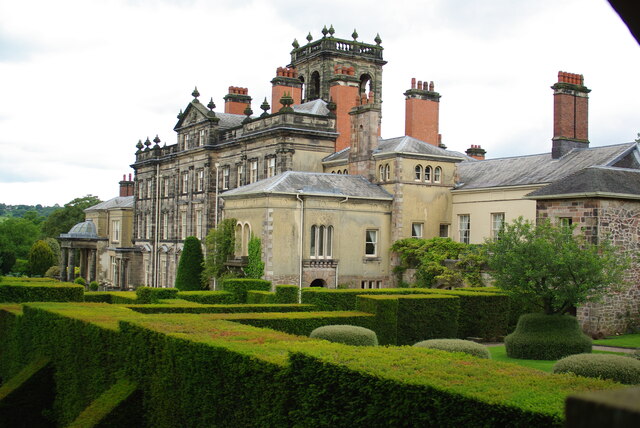
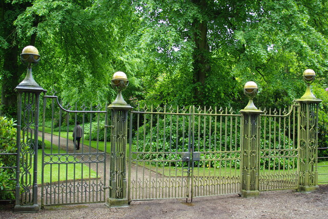
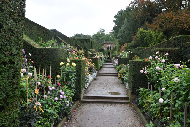
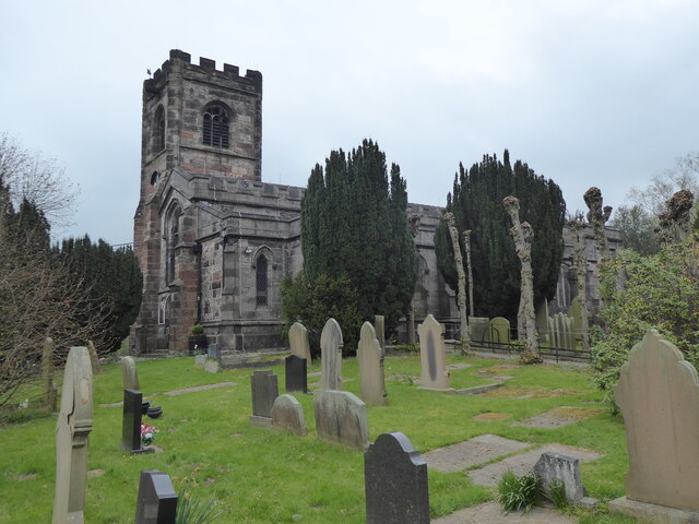
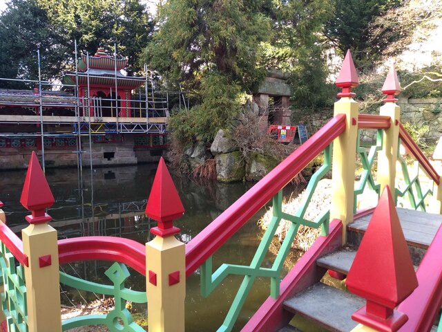
Biddulph is known for its rich history and picturesque surroundings. It has a charming mix of traditional and modern architecture, with many historic buildings dating back to the 17th century. The town's main landmark is Biddulph Grange Gardens, a National Trust property that attracts visitors from far and wide. This stunning Victorian garden features various themed areas, including an Italian terrace, Egyptian court, and Chinese garden, showcasing a unique blend of cultural influences.
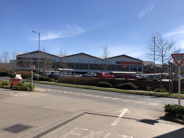
The town center offers a range of amenities and services, including shops, restaurants, cafes, and a weekly market. Biddulph also has several primary and secondary schools, making it an ideal place for families.
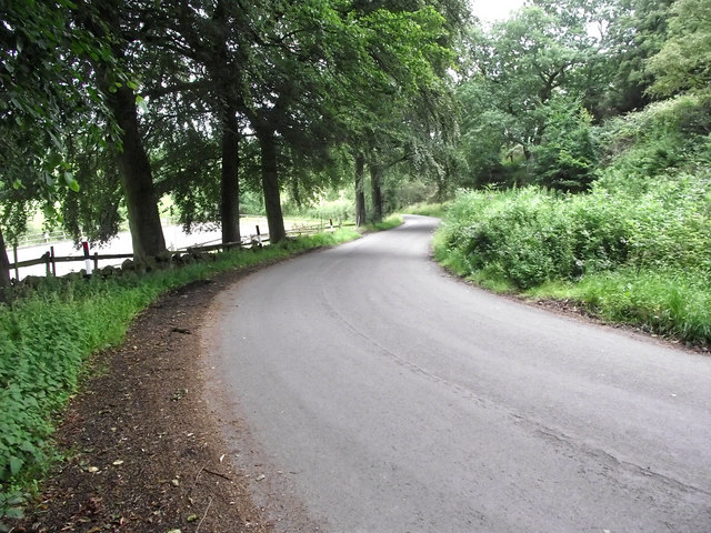
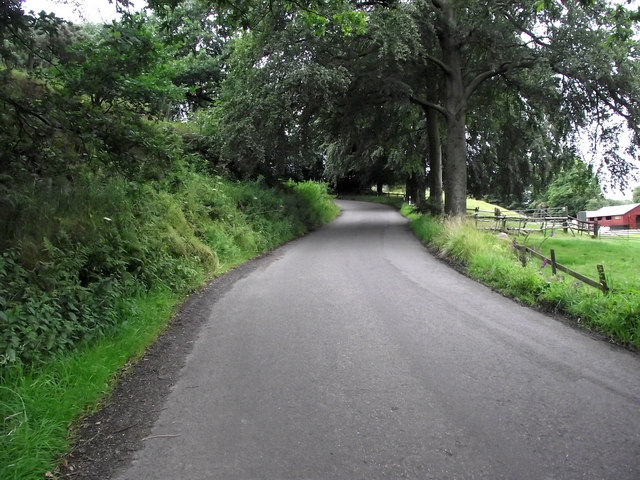
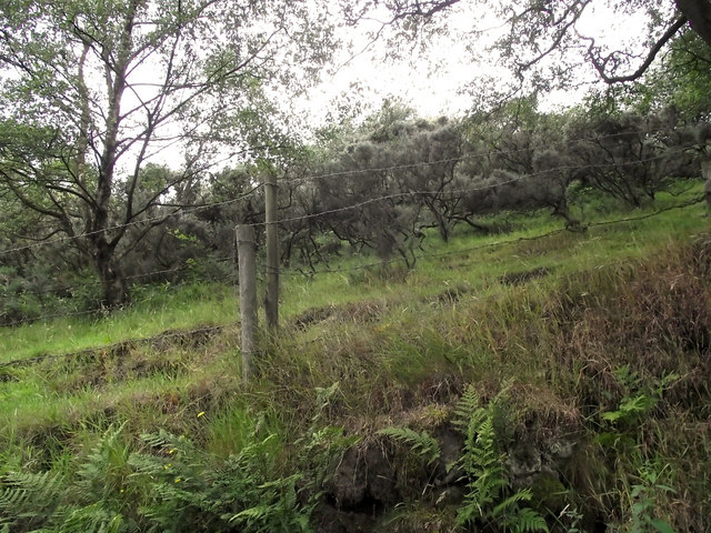
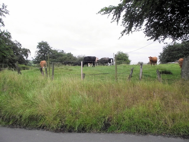
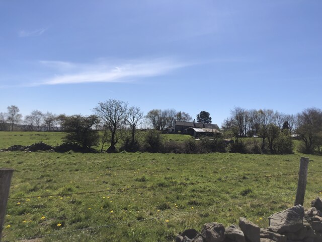
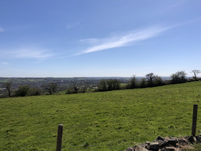
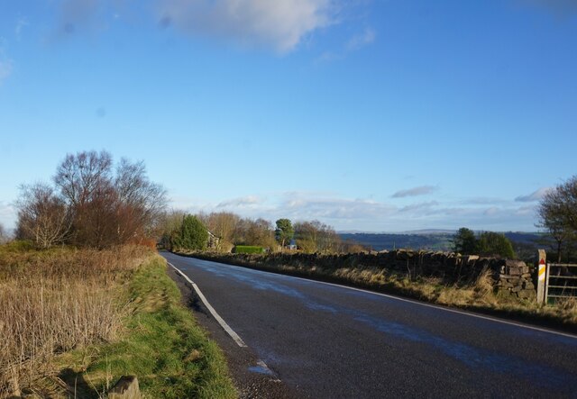
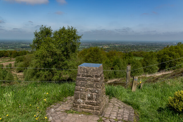
Nature enthusiasts can enjoy the nearby countryside, with beautiful walks and hiking trails in the surrounding areas. Biddulph is also conveniently located for exploring the Staffordshire Moorlands and the Peak District, offering opportunities for outdoor activities such as cycling, horse riding, and rock climbing.
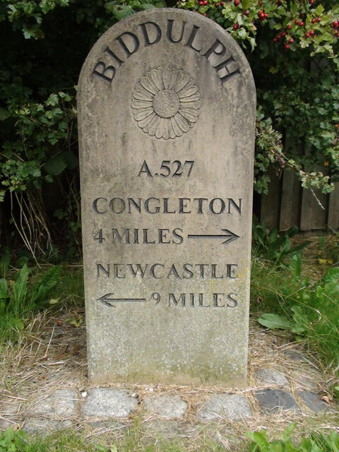
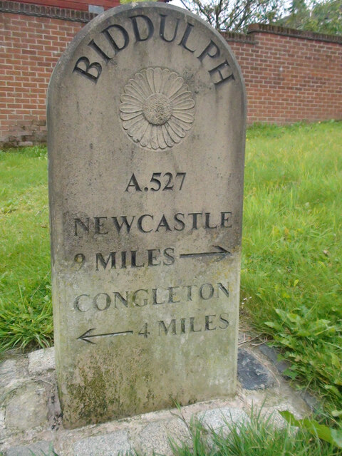
Transport links in Biddulph are well-connected, with regular bus services to nearby towns and cities. The town is conveniently located just off the A527 road, providing easy access to Stoke-on-Trent and the wider Staffordshire area.
Overall, Biddulph offers a mix of historical charm, natural beauty, and modern amenities, making it an attractive place to live or visit in Staffordshire.
If you have any feedback on the listing, please let us know in the comments section below.
Biddulph Images
Images are sourced within 2km of 53.115038/-2.176459 or Grid Reference SJ8857. Thanks to Geograph Open Source API. All images are credited.
Biddulph is located at Grid Ref: SJ8857 (Lat: 53.115038, Lng: -2.176459)
Administrative County: Staffordshire
District: Staffordshire Moorlands
Police Authority: Staffordshire
What 3 Words
///feelers.revamping.control. Near Biddulph, Staffordshire
Nearby Locations
Related Wikis

Braddocks Hay
Braddocks Hay is a village in Staffordshire, England. Population details for the 2011 census can be found under Biddulph

Biddulph
Biddulph is a town in Staffordshire, England, 8.5 miles (14 km) north of Stoke-on-Trent and 4.5 miles (7 km) south-east of Congleton, Cheshire. == Origin... ==

Biddulph railway station
Biddulph railway station was a railway station opened by the North Staffordshire Railway in 1864. Originally named Gillow Heath the station was renamed...
Knypersley Hall
Knypersley Hall is an 18th-century Georgian style country mansion at Biddulph, Staffordshire, England. It is protected as a Grade II* listed building....
Biddulph High School
Biddulph High School is a mixed upper school (termed 'high school') and sixth form located in the Knypersley area of Biddulph in the English county of...
Tunstall Road
Tunstall Road, also known as Victoria and Knypersley Social Welfare Centre, is a cricket ground in Knypersley, Staffordshire. The ground is located along...

Biddulph Grange
Biddulph Grange is a National Trust landscaped garden, in Biddulph near Stoke-on-Trent, Staffordshire, England. It is separate from Biddulph Grange Country...

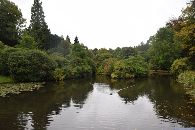
Biddulph Grange Country Park
Biddulph Grange Country Park is a country park in Biddulph, UK. It was originally part of Biddulph Grange. == Contents == The 73 acres (0.30 km2) park...
Nearby Amenities
Located within 500m of 53.115038,-2.176459Have you been to Biddulph?
Leave your review of Biddulph below (or comments, questions and feedback).