Biddlesden
Settlement in Buckinghamshire
England
Biddlesden
Biddlesden is a small village located in the county of Buckinghamshire, England. Situated approximately 7 miles northwest of the town of Buckingham, Biddlesden is nestled amidst the picturesque countryside and offers a tranquil and scenic setting.
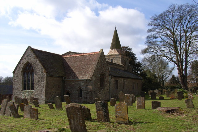
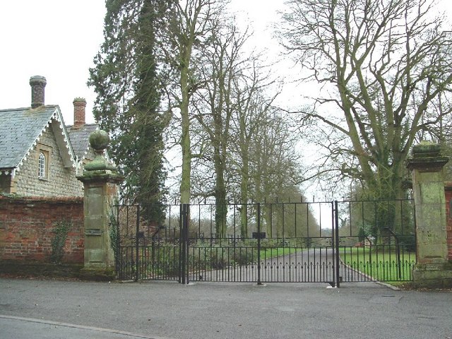
The village is primarily known for its historic past, with its roots dating back to the medieval era. It was once home to Biddlesden Abbey, a Cistercian monastery founded in the 12th century. Although the abbey is no longer standing, some remnants of its existence can still be seen, including the remaining archway of the abbey church and a few other ruins.
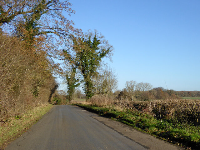
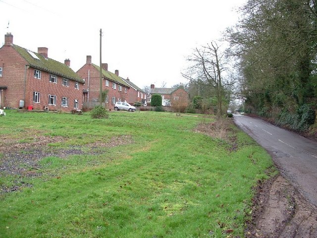
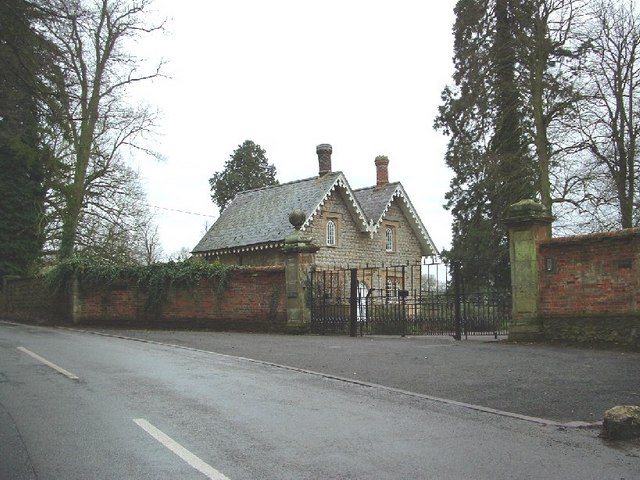
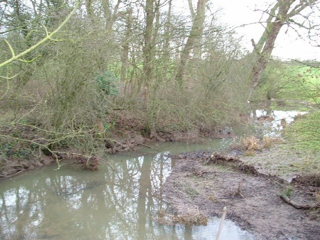
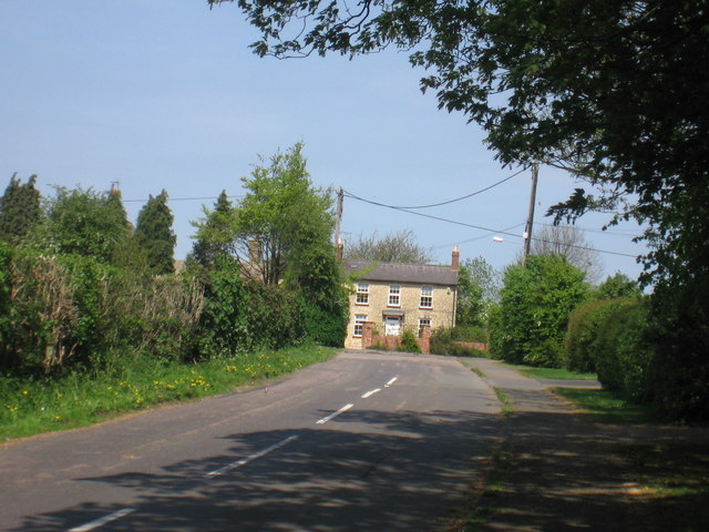
Today, Biddlesden is a small, close-knit community with a population of around 200 residents. The village exudes a charming and traditional atmosphere, with many of its buildings showcasing beautiful, characteristic architecture. The surrounding countryside offers stunning views and is dotted with lush fields and woodlands, making it a haven for nature enthusiasts and walkers.
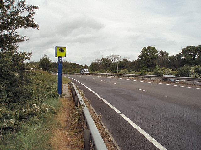
While the village itself has limited amenities, it benefits from its proximity to nearby towns like Buckingham and Brackley, where residents can find a wider range of services, shops, and recreational facilities. The village also enjoys good transport links, with easy access to major road networks such as the A43 and A421.
Overall, Biddlesden is a peaceful and idyllic village that preserves its rich historical heritage while providing a serene and beautiful place to call home.
If you have any feedback on the listing, please let us know in the comments section below.
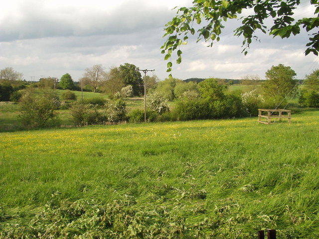
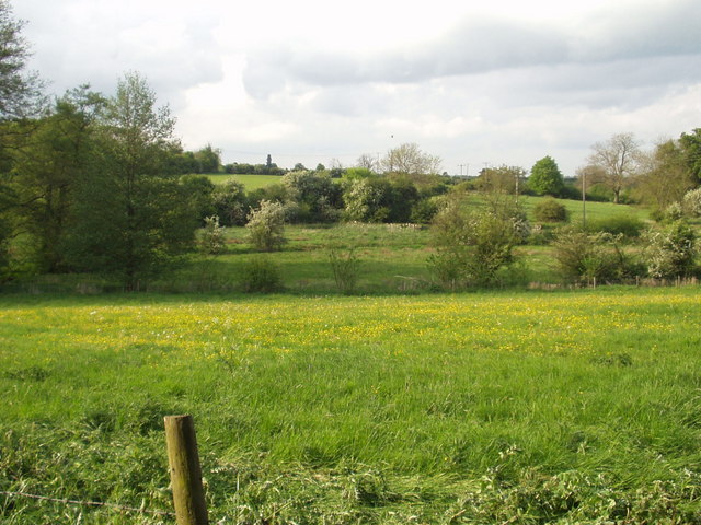
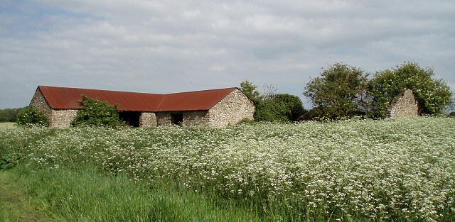
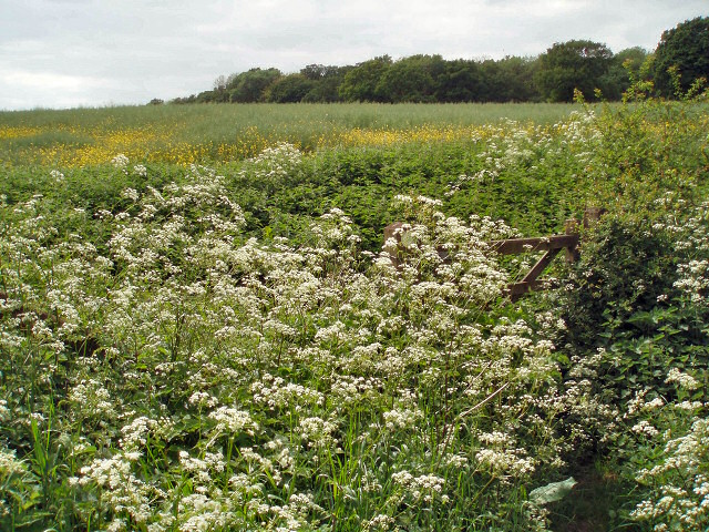
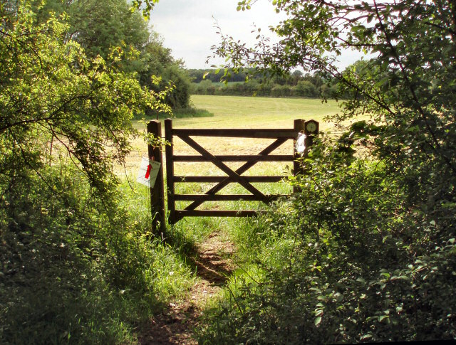
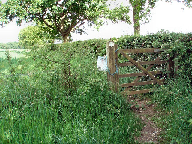
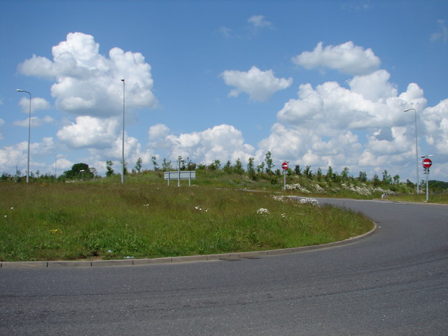
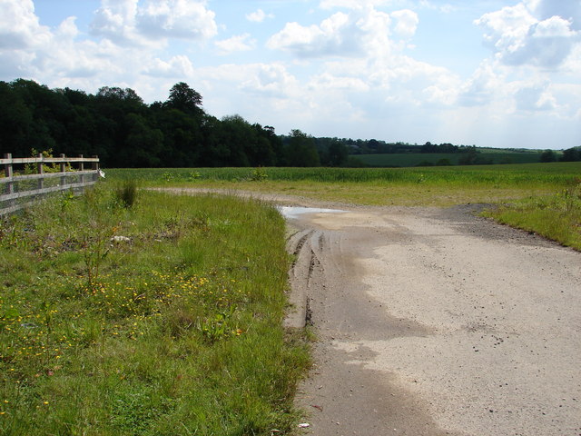
Biddlesden Images
Images are sourced within 2km of 52.055547/-1.077068 or Grid Reference SP6340. Thanks to Geograph Open Source API. All images are credited.
Biddlesden is located at Grid Ref: SP6340 (Lat: 52.055547, Lng: -1.077068)
Unitary Authority: Buckinghamshire
Police Authority: Thames Valley
What 3 Words
///loses.deflect.dissolves. Near Silverstone, Northamptonshire
Nearby Locations
Related Wikis

Biddlesden
Biddlesden is a village and civil parish in Aylesbury Vale district in north-west Buckinghamshire, England on the boundary with Northamptonshire. It is...
Biddlesden Park
Biddlesden Park is a country house at Biddlesden in north-west Buckinghamshire. It is a Grade II* listed building. == History == The house, which lies...

Biddlesden Abbey
Biddlesden was a Cistercian abbey founded in 1147 by Arnold de Bosco (de Bois), steward to the Earl of Leicester. Abbot William Wibert was deposed in 1198...
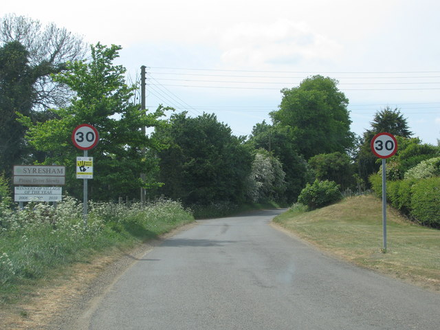
Syresham
Syresham is a village and civil parish in the English district of West Northamptonshire. The civil parish population at the 2011 census was 855. It is...

Turweston Aerodrome
Turweston Aerodrome (ICAO: EGBT) is an airfield located near the village of Turweston, in north Buckinghamshire near the Northamptonshire border. It is...
Crowfield, Northamptonshire
Crowfield is a hamlet of some two dozen houses in the civil parish of Syresham in that part of the English county of Northamptonshire popularly known as...

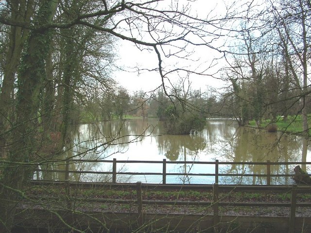
Syresham Marshy Meadows
Syresham Marshy Meadows is a 17.8-hectare (44-acre) biological Site of Special Scientific Interest west of Silverstone in Northamptonshire.This site consists...

Whitfield, Northamptonshire
Whitfield is a village and parish in the south-west of the English county of Northamptonshire in the valley of the River Great Ouse which forms the border...
Nearby Amenities
Located within 500m of 52.055547,-1.077068Have you been to Biddlesden?
Leave your review of Biddlesden below (or comments, questions and feedback).