Braddock

Settlement in Cornwall

England

Braddock

A390 to west of West Taphouse
A390 to west of West Taphouse Credit: David Smith

Braddock is a small village located in the southeastern part of Cornwall, England. Situated roughly 7 miles east of the town of Lostwithiel, Braddock is nestled in a picturesque rural setting, surrounded by rolling green hills and farmland. The village can be found within the administrative area of the Cornwall Council and falls under the parliamentary constituency of South East Cornwall.

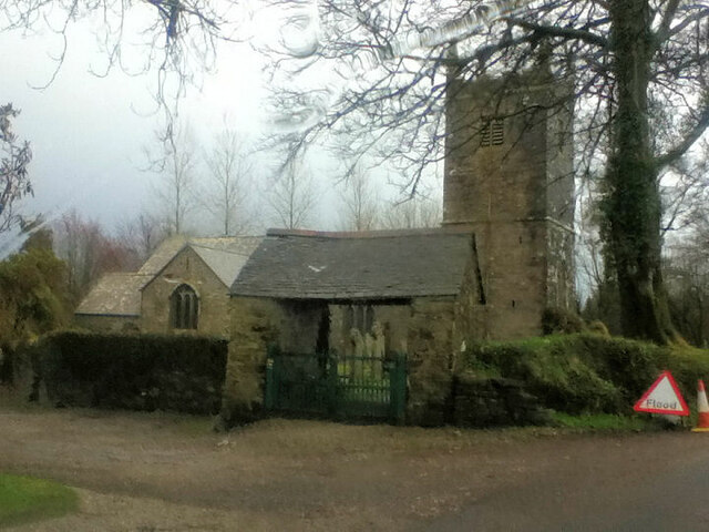
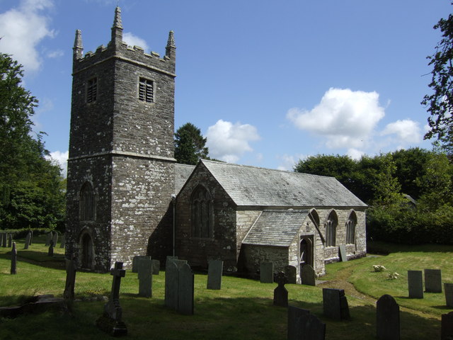
With its origins dating back to the medieval period, Braddock is steeped in history and boasts several historic landmarks. One of the most prominent features is the Parish Church of St. Mary, a Grade I listed building that showcases stunning architectural details and serves as a focal point for the local community.

The village itself is relatively small, with a population of approximately 200 residents. It offers a tranquil and peaceful atmosphere, making it an ideal retreat for those seeking a quieter lifestyle away from the hustle and bustle of larger towns and cities. The surrounding countryside provides ample opportunities for outdoor activities such as hiking, cycling, and exploring the nearby Bodmin Moor.

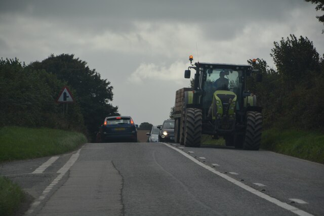
While Braddock may not have a wide range of amenities, its close proximity to Lostwithiel ensures that residents have access to essential services such as shops, schools, and healthcare facilities. The village also benefits from good transportation links, with the A390 road passing nearby, connecting it to other parts of Cornwall and beyond.

Overall, Braddock is a charming village with a rich history and natural beauty, offering a peaceful and idyllic living environment for its inhabitants.

If you have any feedback on the listing, please let us know in the comments section below.
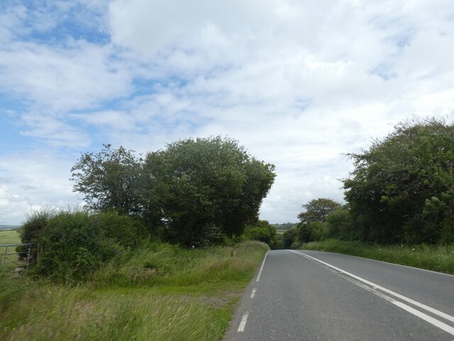
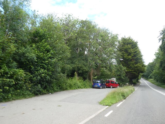
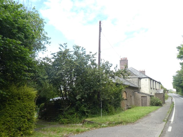
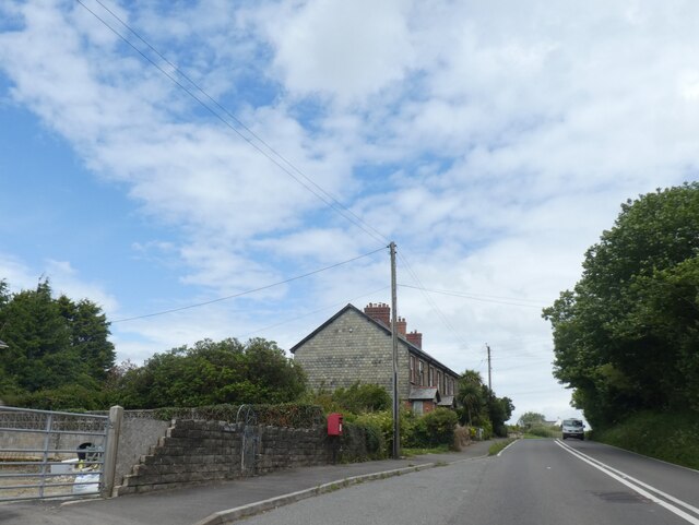
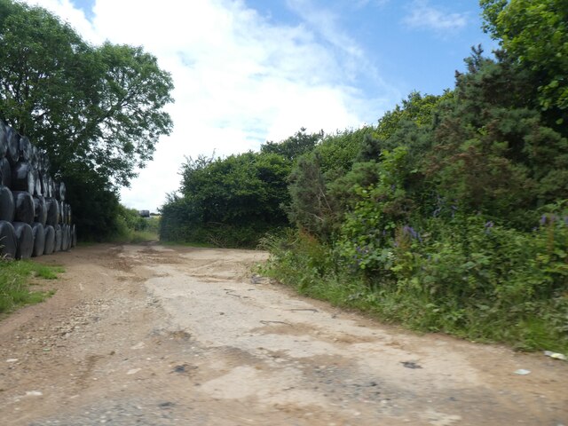
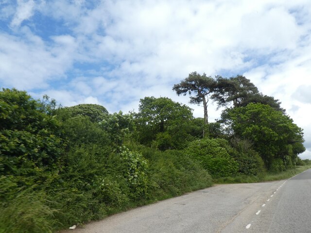
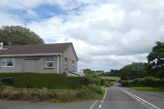
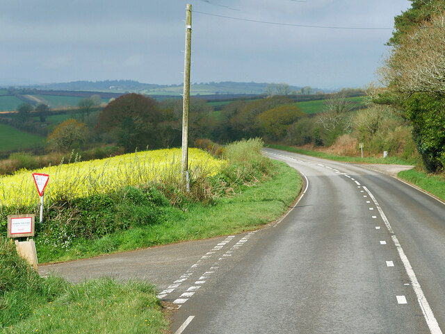
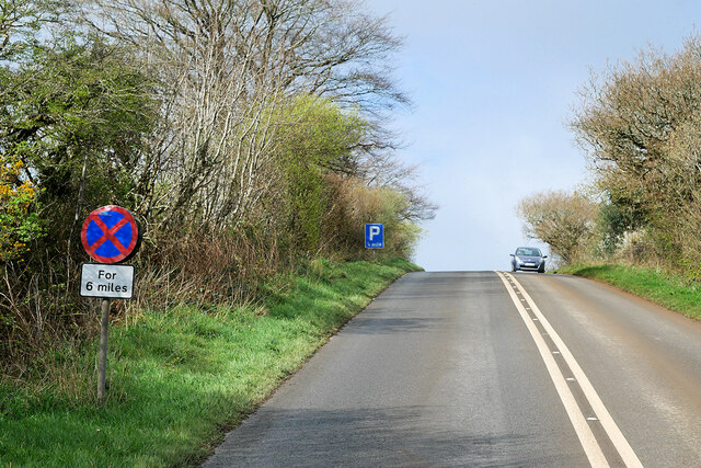
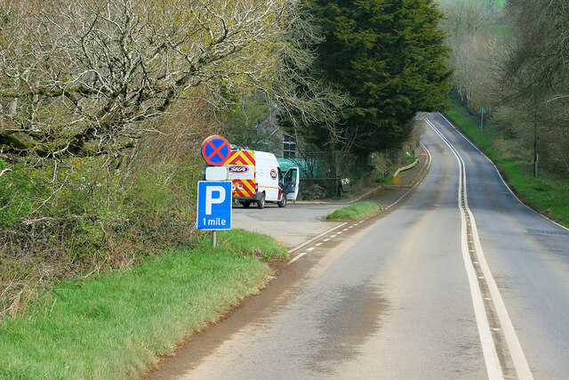
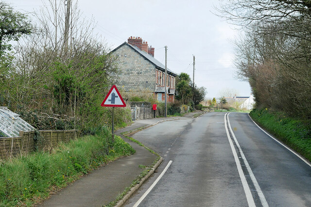
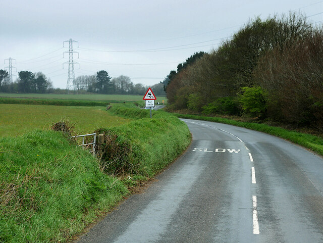
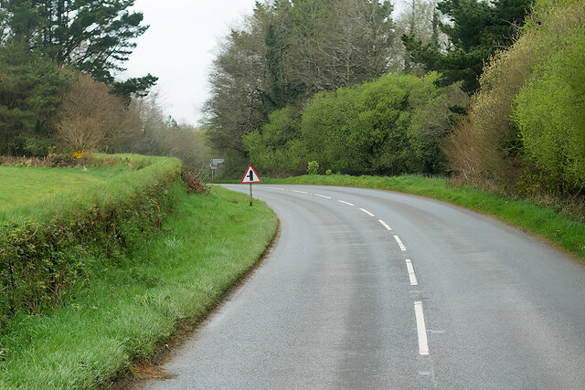
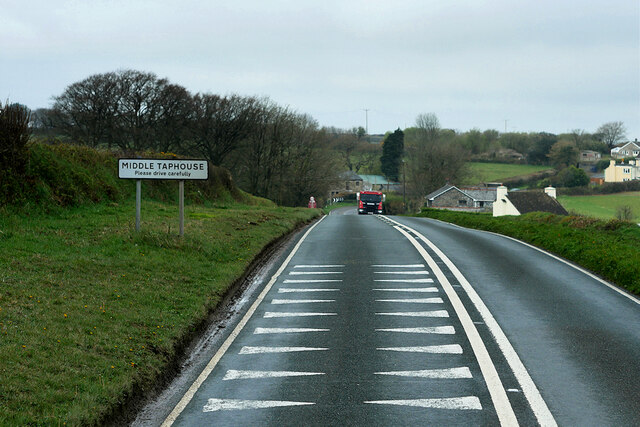
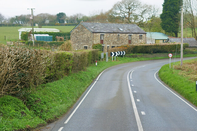
Braddock Images

Images are sourced within 2km of 50.430033/-4.589031 or Grid Reference SX1662. Thanks to Geograph Open Source API. All images are credited.

A390 to west of West Taphouse
Lay-by on A390 west of West Taphouse
House by A390 in West Taphouse From the appearance, this was (is?) a farmhouse.  A porch onto the main road is not a feature to be found on modern houses!  Listed <span class="nowrap"><a title="https://www.heritagegateway.org.uk/Gateway/Results_Single.aspx?uid=1312613&resourceID=5" rel="nofollow ugc noopener" href="https://www.heritagegateway.org.uk/Gateway/Results_Single.aspx?uid=1312613&resourceID=5">Link</a><img style="margin-left:2px;" alt="External link" title="External link - shift click to open in new window" src="https://s1.geograph.org.uk/img/external.png" width="10" height="10"/></span>  as 'Former coaching inn and stables, now farmhouse'.
House by A390 in West Taphouse
From the appearance, this was (is?) a farmhouse. A porch onto the main road is not a feature to be found on modern houses! Listed LinkExternal link as 'Former coaching inn and stables, now farmhouse'.
A small terrace of houses in West Taphouse
Field access track by A390
Lay-by by A390
Lay-by by A390
A390 in Middle Taphouse
Braddock : A390 Looking along the road.
Braddock : A390
Looking along the road.
A390 between East and West Taphouse The A390  runs for 60 miles between Tavistock and a roundabout with the A30 at Three Burrows, 5 miles north west of the city of Truro in Cornwall, via Lostwithiel, St Blazey, and St Austell. It is an important road as it forms part of the main route (the Truro to Dobwalls section) from Truro to Plymouth. It can be used to travel along the spine of Cornwall as a more leisurely drive instead of using the A30.
A390 between East and West Taphouse
The A390 runs for 60 miles between Tavistock and a roundabout with the A30 at Three Burrows, 5 miles north west of the city of Truro in Cornwall, via Lostwithiel, St Blazey, and St Austell. It is an important road as it forms part of the main route (the Truro to Dobwalls section) from Truro to Plymouth. It can be used to travel along the spine of Cornwall as a more leisurely drive instead of using the A30.
A390 west of West Taphouse The A390  runs for 60 miles between Tavistock and a roundabout with the A30 at Three Burrows, 5 miles north west of the city of Truro in Cornwall, via Lostwithiel, St Blazey, and St Austell. It is an important road as it forms part of the main route (the Truro to Dobwalls section) from Truro to Plymouth. It can be used to travel along the spine of Cornwall as a more leisurely drive instead of using the A30.
A390 west of West Taphouse
The A390 runs for 60 miles between Tavistock and a roundabout with the A30 at Three Burrows, 5 miles north west of the city of Truro in Cornwall, via Lostwithiel, St Blazey, and St Austell. It is an important road as it forms part of the main route (the Truro to Dobwalls section) from Truro to Plymouth. It can be used to travel along the spine of Cornwall as a more leisurely drive instead of using the A30.
Layby on the A390 near West Taphouse The A390  runs for 60 miles between Tavistock and a roundabout with the A30 at Three Burrows, 5 miles north west of the city of Truro in Cornwall, via Lostwithiel, St Blazey, and St Austell. It is an important road as it forms part of the main route (the Truro to Dobwalls section) from Truro to Plymouth. It can be used to travel along the spine of Cornwall as a more leisurely drive instead of using the A30.
Layby on the A390 near West Taphouse
The A390 runs for 60 miles between Tavistock and a roundabout with the A30 at Three Burrows, 5 miles north west of the city of Truro in Cornwall, via Lostwithiel, St Blazey, and St Austell. It is an important road as it forms part of the main route (the Truro to Dobwalls section) from Truro to Plymouth. It can be used to travel along the spine of Cornwall as a more leisurely drive instead of using the A30.
A390, West Taphouse West Taphouse is a hamlet in Cornwall, England. It is on the A390 road west of Middle Taphouse and East Taphouse.
A390, West Taphouse
West Taphouse is a hamlet in Cornwall, England. It is on the A390 road west of Middle Taphouse and East Taphouse.
B3359 near Penhole
B3359 near Penhole
B3359 near Connon Bridge Land Fill Site
A390, Middle Taphouse Middle Taphouse (or Mid Taphouse) is a hamlet in east Cornwall, about five miles west of Liskeard along the A390 road. It consists of a small group of bungalows and houses.  The hamlet of West Taphouse is a little further west along the A390 and the small village of East Taphouse is further east.
A390, Middle Taphouse
Middle Taphouse (or Mid Taphouse) is a hamlet in east Cornwall, about five miles west of Liskeard along the A390 road. It consists of a small group of bungalows and houses. The hamlet of West Taphouse is a little further west along the A390 and the small village of East Taphouse is further east.
Middle Farm The A390  runs for 60 miles between Tavistock and a roundabout with the A30 at Three Burrows, 5 miles north west of the city of Truro in Cornwall, via Lostwithiel, St Blazey, and St Austell. It is an important road as it forms part of the main route (the Truro to Dobwalls section) from Truro to Plymouth. It can be used to travel along the spine of Cornwall as a more leisurely drive instead of using the A30.
Middle Farm
The A390 runs for 60 miles between Tavistock and a roundabout with the A30 at Three Burrows, 5 miles north west of the city of Truro in Cornwall, via Lostwithiel, St Blazey, and St Austell. It is an important road as it forms part of the main route (the Truro to Dobwalls section) from Truro to Plymouth. It can be used to travel along the spine of Cornwall as a more leisurely drive instead of using the A30.
Middle Taphouse Middle Taphouse (or Mid Taphouse) is a hamlet in east Cornwall, about five miles west of Liskeard along the A390 road. It consists of a small group of bungalows and houses.  The hamlet of West Taphouse is a little further west along the A390 and the small village of East Taphouse is further east.
Middle Taphouse
Middle Taphouse (or Mid Taphouse) is a hamlet in east Cornwall, about five miles west of Liskeard along the A390 road. It consists of a small group of bungalows and houses. The hamlet of West Taphouse is a little further west along the A390 and the small village of East Taphouse is further east.
St Mary the Virgin, Braddock
Show me another place!

Braddock is located at Grid Ref: SX1662 (Lat: 50.430033, Lng: -4.589031)

Unitary Authority: Cornwall

Police Authority: Devon and Cornwall

What 3 Words

///dolls.rattler.shred. Near Dobwalls, Cornwall

Nearby Locations

Braddock

Related Wikis

Braddock, Cornwall

Braddock (Cornish: Brodhek) is a village and civil parish in Cornwall, England, United Kingdom. The village is about seven miles west of Liskeard, and...

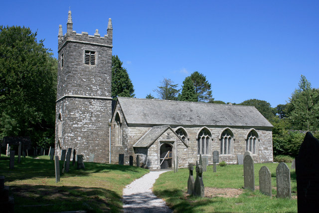
St Mary the Virgin's Church, Braddock

St Mary the Virgin’s Church, Braddock or Bradoc is a Grade I listed parish church in the Church of England in Braddock, Cornwall. == History == The current...
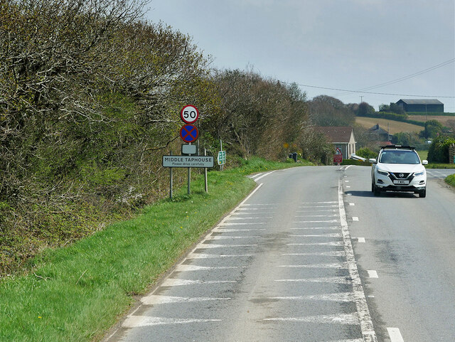
West Taphouse

West Taphouse is a hamlet in Cornwall, England. It is on the A390 road west of Middle Taphouse and East Taphouse. == References ==

Middle Taphouse

Middle Taphouse (or Mid Taphouse) is a hamlet in east Cornwall, England, about five miles (8.0 km) west of Liskeard along the A390 road. It consists of...

Nearby Amenities

Located within 500m of 50.430033,-4.589031
Design: three-level
Power: tower
Lat/Long: 50.4318825/-4.5867499
Design: three-level
Power: tower
Lat/Long: 50.4328075/-4.590335
Braddock
Is In County: Cornwall
Name Kw: Brodhek
Place: hamlet
Source: OS_OpenData_StreetView
Wikidata: Q4954451
Lat/Long: 50.4303789/-4.5886164
The data included in this document is from www.openstreetmap.org. The data is made available under ODbL.

Have you been to Braddock?

Leave your review of Braddock below (or comments, questions and feedback).