Bradden

Settlement in Northamptonshire

England

Bradden

St Michael's, Bradden A rather stripy church.
St Michael's, Bradden Credit: Andrew Smith

Bradden is a small village located in the county of Northamptonshire, England. Situated approximately 7 miles south-west of the market town of Towcester, it is nestled in the beautiful rolling hills of the South Northamptonshire countryside.

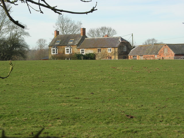
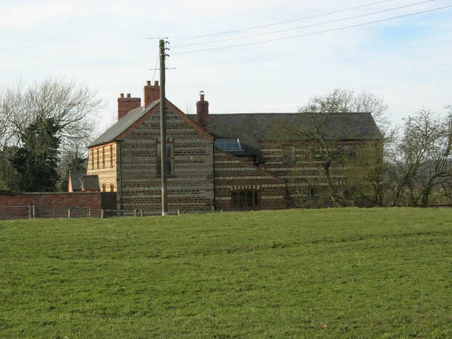
With a population of just over 100 residents, Bradden is a close-knit community that exudes a sense of tranquility and charm. The village is predominantly residential, with a scattering of traditional stone cottages and larger houses, creating a picturesque and quintessentially English setting.

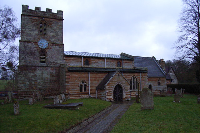
One of the notable features of Bradden is its historic St. Michael and All Angels Church, which dates back to the 12th century. The church is known for its stunning architecture, including a Norman tower and a 14th-century spire. It serves as a focal point for the community, hosting various events and gatherings throughout the year.

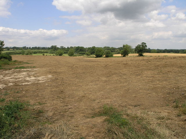
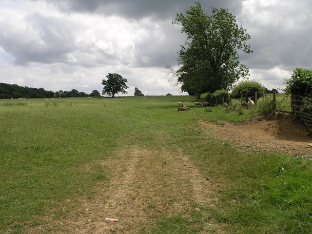
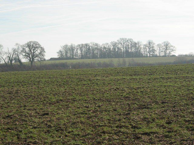
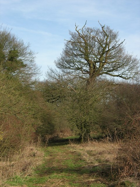
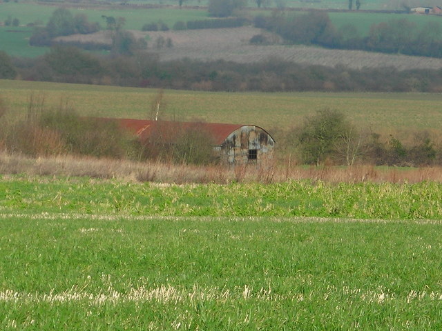
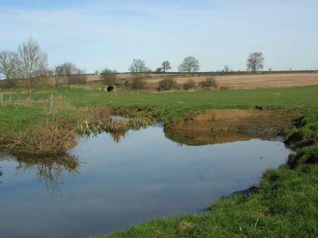
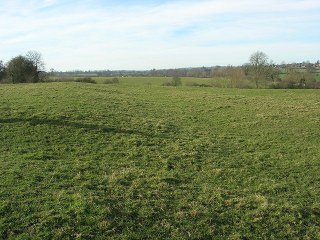
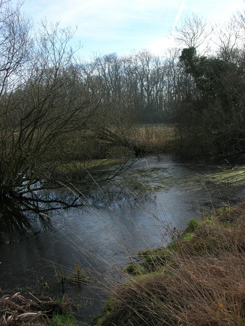
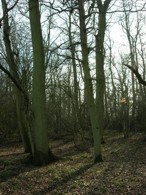
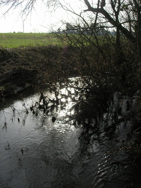
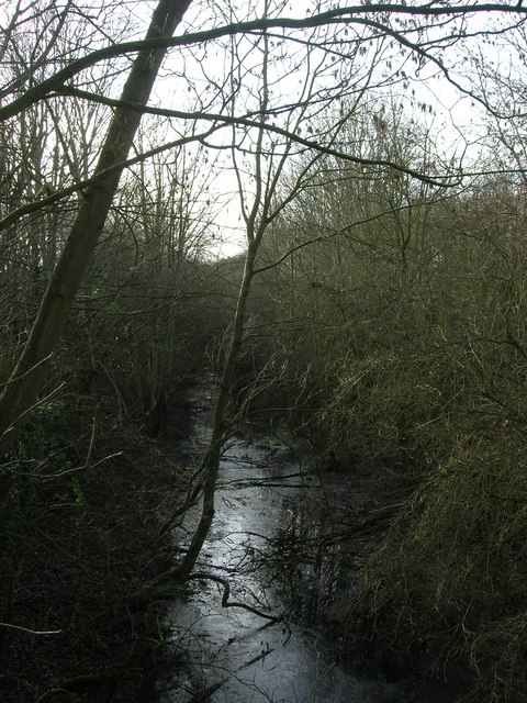
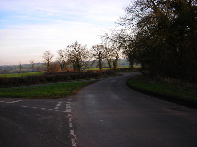
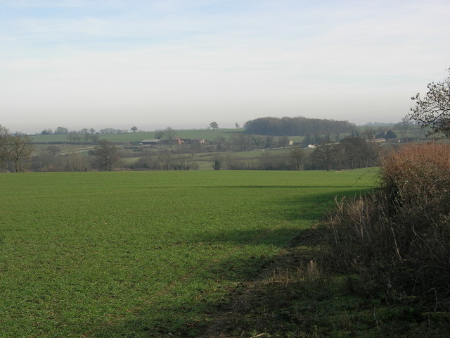
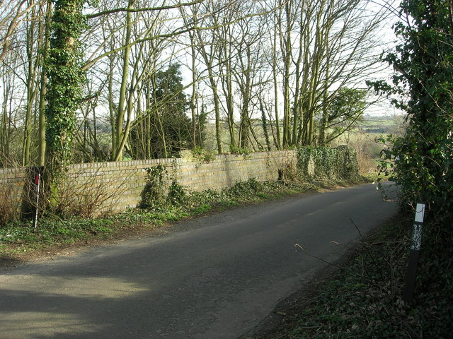
Surrounded by lush green fields and meadows, Bradden offers ample opportunities for outdoor activities and leisurely walks. The village is also home to several footpaths and bridleways that lead to nearby villages and countryside trails.

While Bradden itself does not have any shops or amenities, residents have easy access to nearby towns for their daily needs. The village benefits from its proximity to Towcester, which offers a range of facilities including shops, supermarkets, schools, and healthcare services.

Overall, Bradden is a quaint and idyllic village that offers a peaceful and rural lifestyle. Its rich history, scenic landscapes, and strong sense of community make it an attractive place to live for those seeking a quieter and slower-paced way of life.

If you have any feedback on the listing, please let us know in the comments section below.

Bradden Images

Images are sourced within 2km of 52.130259/-1.056212 or Grid Reference SP6448. Thanks to Geograph Open Source API. All images are credited.

St Michael's, Bradden A rather stripy church.
St Michael's, Bradden
A rather stripy church.
St John the Baptist's, Abthorpe
Field to the River The River Tove runs in the bottom of this shallow valley.  A footpath across this field follows along the course of the river.
Field to the River
The River Tove runs in the bottom of this shallow valley. A footpath across this field follows along the course of the river.
Bridleway to Handley This bridleway climbs up the River Tove valley on its way to Handley Barn.
Bridleway to Handley
This bridleway climbs up the River Tove valley on its way to Handley Barn.
Winter field
Winter field
Kirby Grounds
Kirby Grounds
Track This track leads to the disused railway line which runs behind the hedge in the background.
Track
This track leads to the disused railway line which runs behind the hedge in the background.
Disused barn
Disused barn
Black Ouse Black Ouse river with bridge carrying disused railway line in middle distance.
Black Ouse
Black Ouse river with bridge carrying disused railway line in middle distance.
Site of medieval village of Kirby The indentation running through the photograph was the main street of the deserted village.
Site of medieval village of Kirby
The indentation running through the photograph was the main street of the deserted village.
Hootens Farm
Hootens Farm
Pond Pond for watering livestock, looking towards Tite's Copse
Pond
Pond for watering livestock, looking towards Tite's Copse
Tite's Copse
Tite's Copse
River Tove
River Tove
Dismantled Railway The track bed is now flooded and looks more like a stream.
Dismantled Railway
The track bed is now flooded and looks more like a stream.
Junction The road from Bradden joins the Blakesley-Abthorpe road and then the Slapton road peels off to the right.
Junction
The road from Bradden joins the Blakesley-Abthorpe road and then the Slapton road peels off to the right.
Winter field
Winter field
Bridge over dismantled railway Bridge carrying the Blakesley-Abthorpe road
Bridge over dismantled railway
Bridge carrying the Blakesley-Abthorpe road
Show me another place!

Bradden is located at Grid Ref: SP6448 (Lat: 52.130259, Lng: -1.056212)

Unitary Authority: West Northamptonshire

Police Authority: Northamptonshire

What 3 Words

///flagged.unusable.challenge. Near Towcester, Northamptonshire

Nearby Locations

Bury Brake Bradden

Related Wikis

Bradden

Bradden is a village and civil parish in West Northamptonshire, England, about 4 miles (6.4 km) west of Towcester. According to the 2001 census it had...

Slapton, Northamptonshire

Slapton is a small village in Northamptonshire, England, about 4 miles (6.4 km) from Towcester and the same from Silverstone. It is close to the A43 road...

Greens Norton Pocket Park

Greens Norton Pocket Park is a 2-hectare (4.9-acre) Local Nature Reserve in Greens Norton in Northamptonshire. It is owned and managed by Green Norton...

Abthorpe

Abthorpe is a village and civil parish in the valley of the River Tove in West Northamptonshire, England, about 4 miles (6.4 km) west of Towcester, 2 miles...

Nearby Amenities

Located within 500m of 52.130259,-1.056212
Source: survey
Lat/Long: 52.1263029/-1.0592706
Source: survey
Lat/Long: 52.1268723/-1.0587659
Source: survey
Lat/Long: 52.1277906/-1.0586437
Source: survey
Lat/Long: 52.1265283/-1.0590261
Source: survey
Lat/Long: 52.1267929/-1.0588189
Source: survey
Lat/Long: 52.1266556/-1.058913
Source: survey
Lat/Long: 52.1265849/-1.058974
Source: survey
Lat/Long: 52.1267114/-1.0588757
Source: survey
Lat/Long: 52.1276581/-1.0586206
Source: survey
Lat/Long: 52.1270717/-1.058666
Source: survey
Lat/Long: 52.1272387/-1.0586227
Barrier: stile
Steps: 1
Lat/Long: 52.1332896/-1.0541504
Barrier: stile
Lat/Long: 52.1285027/-1.0587691
Barrier: stile
Lat/Long: 52.127566/-1.0558076
Source: survey
Lat/Long: 52.127477/-1.0586211
Source: survey
Lat/Long: 52.1269588/-1.0587169
Barrier: footgate
Bicycle: yes
Foot: yes
Horse: yes
Lat/Long: 52.1329787/-1.0526533
Barrier: stile
Lat/Long: 52.1266497/-1.0565624
Barrier: stile
Lat/Long: 52.1270024/-1.0562614
Barrier: stile
Lat/Long: 52.12728/-1.0560459
Bradden
Is In Country: United Kingdom
Is In County: Northamptonshire
Is In District: South Northamptonshire
Place: village
Wikidata: Q2399895
Wikipedia: en:Bradden
Lat/Long: 52.131274/-1.0533294
Booth: K6
Covered: booth
Disused Amenity: telephone
Man Made: telephone_box
Tourism: information
Lat/Long: 52.1306011/-1.0559738
Post Box
Operator: Royal Mail
Post Box Type: wall
Ref: NN12 476
Lat/Long: 52.130762/-1.0560823
Note: check here for possible track connection to road
Lat/Long: 52.1277427/-1.0559282
Building: yes
Lat/Long: 52.130225/-1.0574096
Direction: ESE
Generator Method: photovoltaic
Generator Output Electricity: yes
Generator Solar Modules: 11
Generator Source: solar
Generator Type: solar_photovoltaic_panel
Location: roof
Power: generator
Lat/Long: 52.1328664/-1.0528801
Direction: WNW
Generator Method: photovoltaic
Generator Output Electricity: yes
Generator Solar Modules: 3
Generator Source: solar
Generator Type: solar_photovoltaic_panel
Location: roof
Power: generator
Lat/Long: 52.1329302/-1.0528974
Direction: SE
Generator Method: photovoltaic
Generator Output Electricity: yes
Generator Solar Modules: 7
Generator Source: solar
Generator Type: solar_photovoltaic_panel
Location: roof
Power: generator
Lat/Long: 52.1302224/-1.0543723
Direction: SE
Generator Method: photovoltaic
Generator Output Electricity: yes
Generator Solar Modules: 16
Generator Source: solar
Generator Type: solar_photovoltaic_panel
Location: roof
Power: generator
Lat/Long: 52.1285947/-1.0580171
Direction: ESE
Generator Method: photovoltaic
Generator Output Electricity: yes
Generator Solar Modules: 2
Generator Source: solar
Generator Type: solar_photovoltaic_panel
Location: roof
Power: generator
Lat/Long: 52.1329261/-1.0528491
Direction: SE
Generator Method: photovoltaic
Generator Output Electricity: yes
Generator Solar Modules: 10
Generator Source: solar
Generator Type: solar_photovoltaic_panel
Location: roof
Power: generator
Lat/Long: 52.130147/-1.0544561
Turning Circle
Lat/Long: 52.1302091/-1.0534135
The data included in this document is from www.openstreetmap.org. The data is made available under ODbL.

Have you been to Bradden?

Leave your review of Bradden below (or comments, questions and feedback).