Bury Brake
Wood, Forest in Northamptonshire
England
Bury Brake

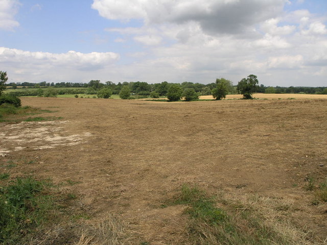
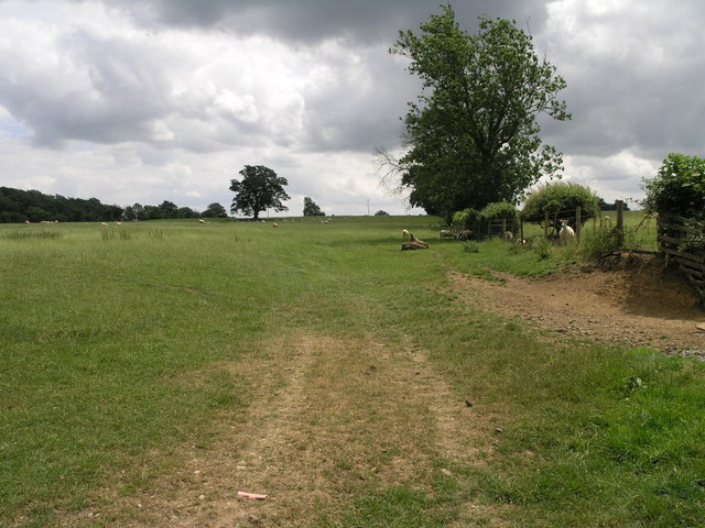
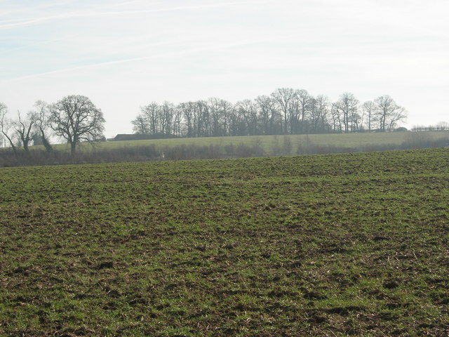
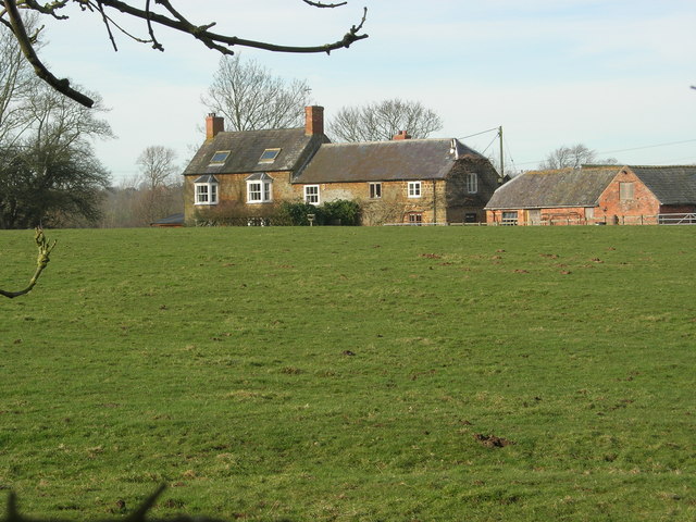
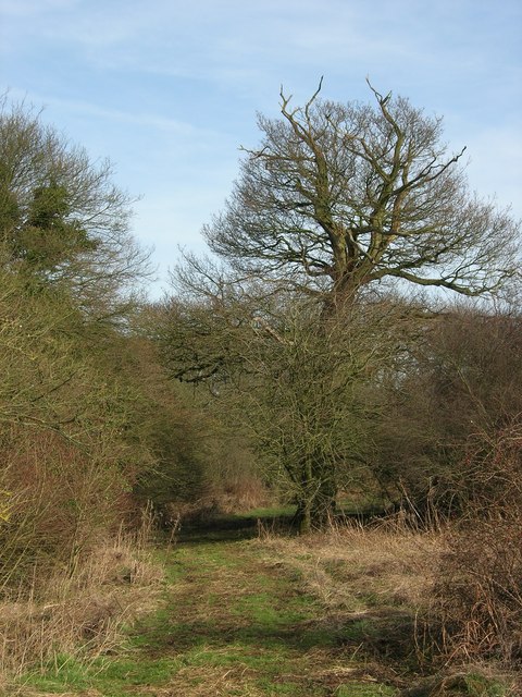
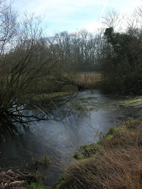
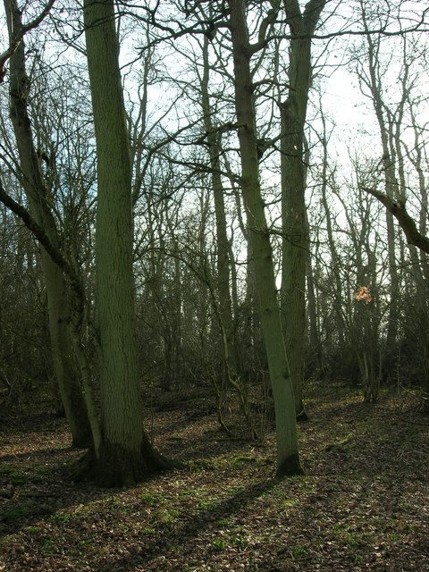
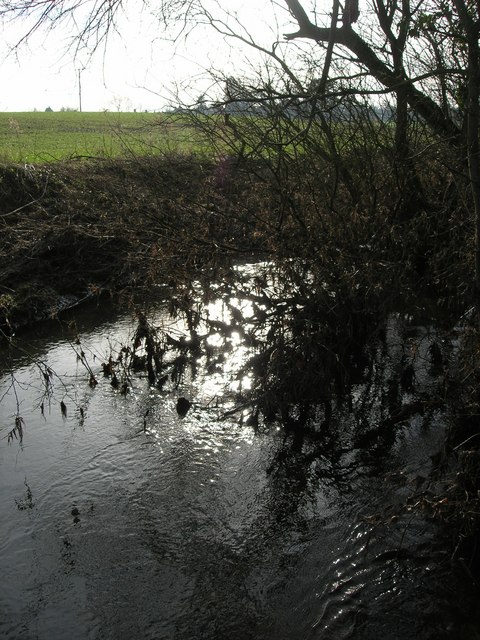
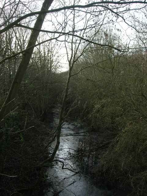
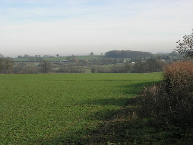
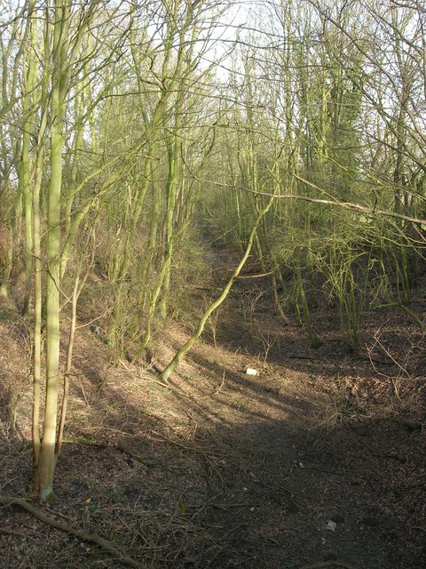
Bury Brake is a small woodland area located in Northamptonshire, England. Situated in the county's countryside, it is known for its picturesque beauty and tranquil atmosphere. The woodland is a part of the wider forest landscape, offering visitors a chance to immerse themselves in nature and escape the hustle and bustle of everyday life.
Covering an area of approximately 50 acres, Bury Brake is home to a variety of tree species, including oak, beech, and birch. The dense canopy provides shade and creates a cool environment, making it a perfect spot for a peaceful stroll or a picnic on a warm summer's day. The forest floor is adorned with a rich carpet of ferns, wildflowers, and mosses, adding to the area's natural charm.
The woodland is also home to a diverse range of wildlife, including birds, insects, and small mammals. Birdwatchers will be delighted by the opportunity to spot species such as woodpeckers, owls, and songbirds, while nature enthusiasts may encounter rabbits, squirrels, and even deer during their visit.
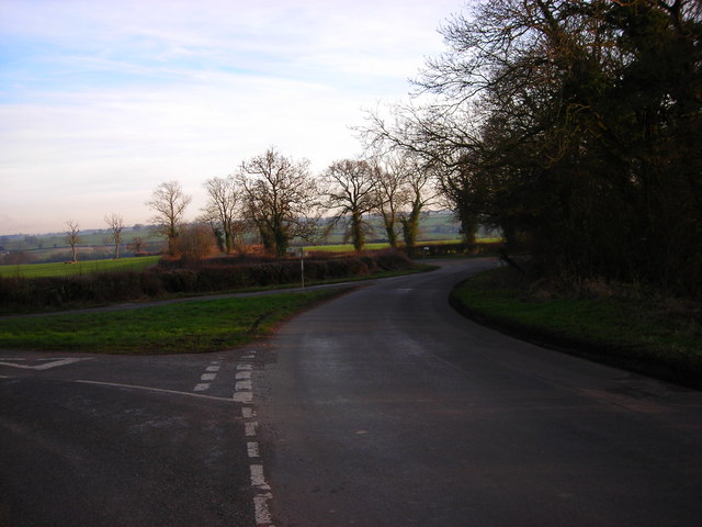
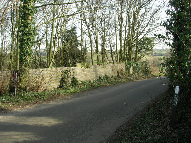
Bury Brake is a popular destination for outdoor activities such as hiking, cycling, and nature photography. A network of well-maintained trails winds through the woodland, allowing visitors to explore the area at their own pace. The serene atmosphere and breathtaking scenery make it a haven for those seeking a peaceful retreat and a chance to connect with nature.
If you have any feedback on the listing, please let us know in the comments section below.
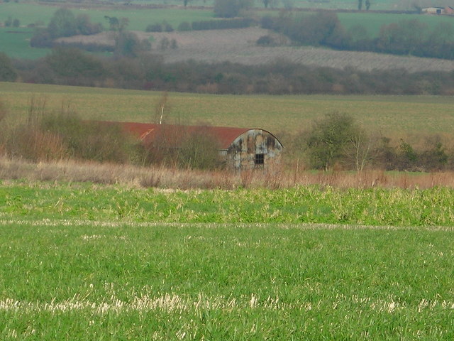
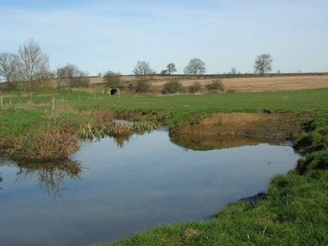
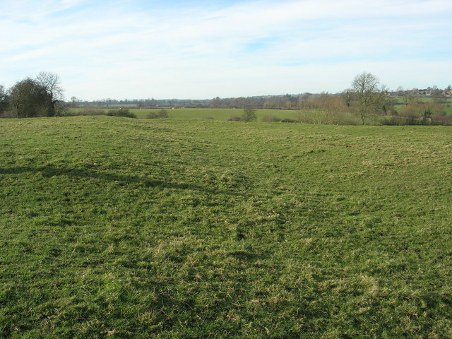
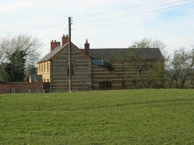
Bury Brake Images
Images are sourced within 2km of 52.132114/-1.0539435 or Grid Reference SP6448. Thanks to Geograph Open Source API. All images are credited.
Bury Brake is located at Grid Ref: SP6448 (Lat: 52.132114, Lng: -1.0539435)
Unitary Authority: West Northamptonshire
Police Authority: Northamptonshire
What 3 Words
///puddings.blurts.dote. Near Towcester, Northamptonshire
Nearby Locations
Related Wikis
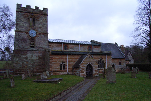
Bradden
Bradden is a village and civil parish in West Northamptonshire, England, about 4 miles (6.4 km) west of Towcester. According to the 2001 census it had...

Greens Norton Pocket Park
Greens Norton Pocket Park is a 2-hectare (4.9-acre) Local Nature Reserve in Greens Norton in Northamptonshire. It is owned and managed by Green Norton...

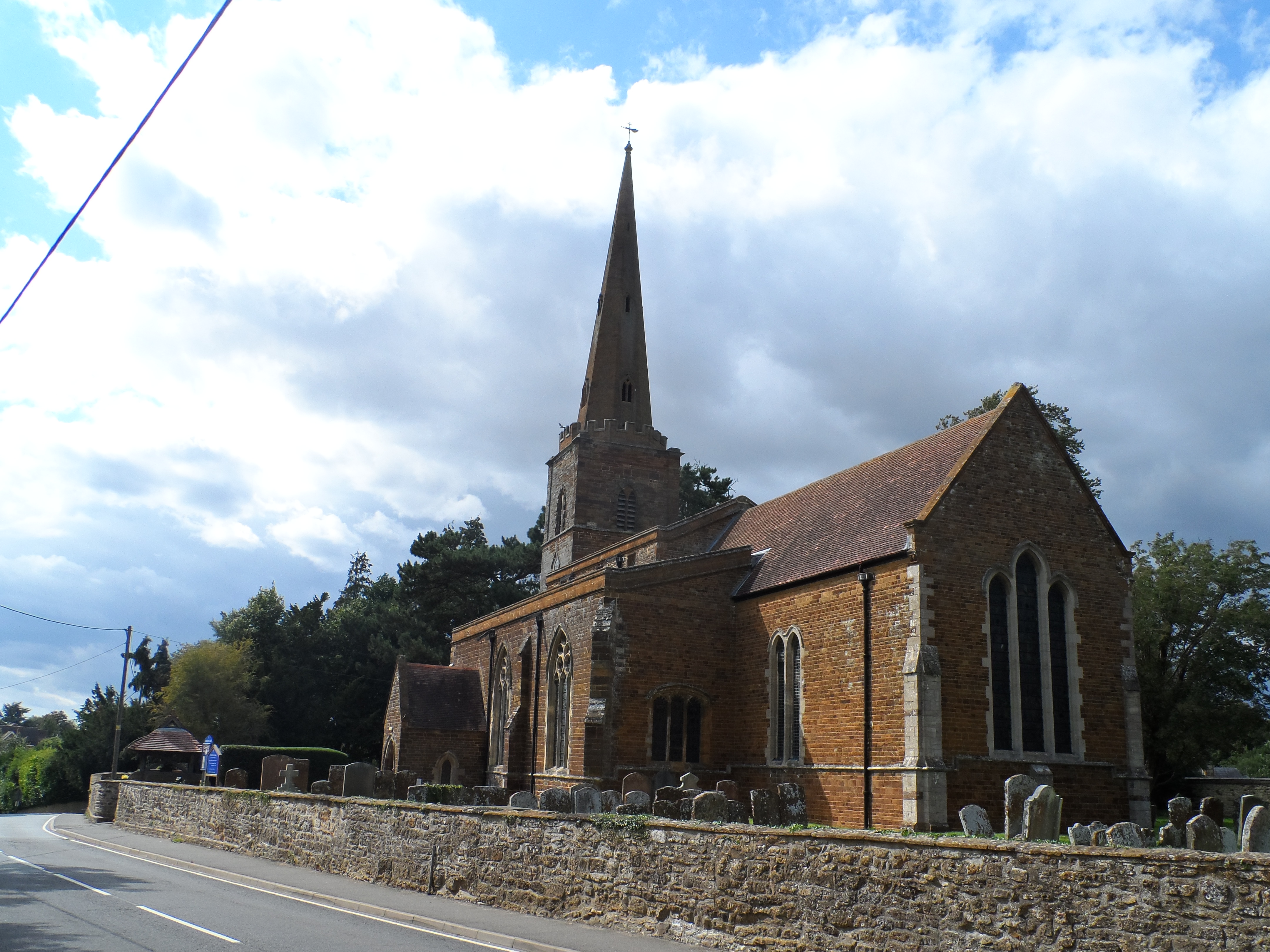
Slapton, Northamptonshire
Slapton is a small village in Northamptonshire, England, about 4 miles (6.4 km) from Towcester and the same from Silverstone. It is close to the A43 road...

Abthorpe
Abthorpe is a village and civil parish in the valley of the River Tove in West Northamptonshire, England, about 4 miles (6.4 km) west of Towcester, 2 miles...
Greens Norton
Greens Norton is a village and civil parish in West Northamptonshire, England, just over 1 mile (1.6 km) north-west of Towcester. At the 2011 census the...

Caswell, Northamptonshire
Caswell is a lost settlement within Greens Norton civil parish in West Northamptonshire, England, approximately 3 miles (5 km) north-west of Towcester...
Wappenham railway station
Wappenham was a railway station on the Stratford-upon-Avon and Midland Junction Railway (SMJ) which served the Northamptonshire village of Wappenham between...
Blakesley
Blakesley is a village in the West Northamptonshire, England. It is about 5 miles (8 km) west of Towcester. It is about 400 feet (120 m) above sea level...
Nearby Amenities
Located within 500m of 52.132114,-1.0539435Have you been to Bury Brake?
Leave your review of Bury Brake below (or comments, questions and feedback).