Holmes Lane Shelter Belts
Wood, Forest in Yorkshire Selby
England
Holmes Lane Shelter Belts

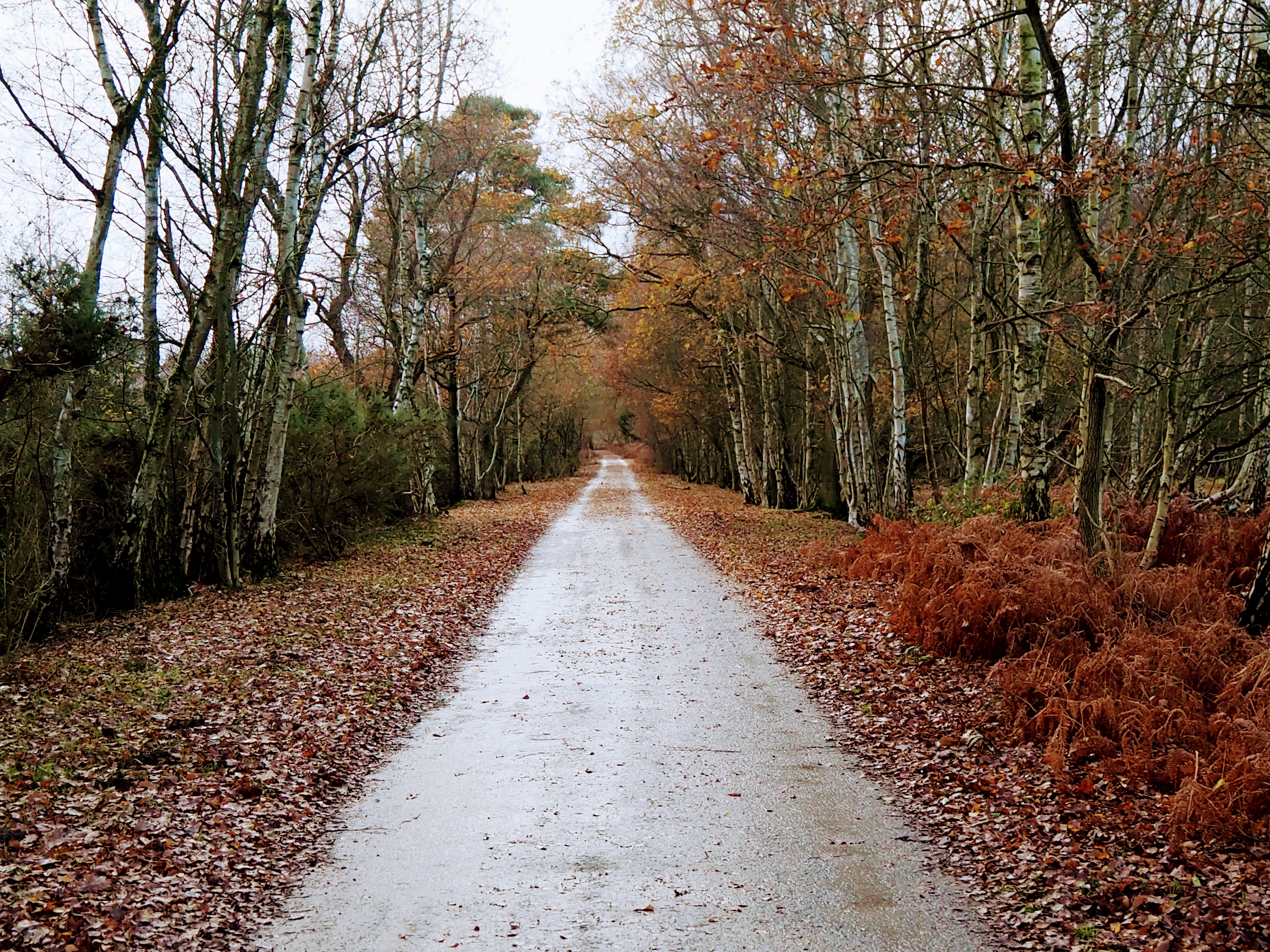
Holmes Lane Shelter Belts, located in Yorkshire, England, are a series of woodland forest areas that serve as protective barriers against the elements. Spanning over several miles, these shelter belts are strategically planted to provide shelter and protection to surrounding agricultural land and livestock.
The shelter belts consist of a combination of different tree species, including native deciduous and coniferous trees. The diverse mix of trees creates a dense canopy that offers protection against wind, soil erosion, and excessive sunlight. Additionally, the foliage acts as a natural filter, improving air quality in the surrounding areas.
The Holmes Lane Shelter Belts have been carefully planned and maintained to maximize their effectiveness. The trees are planted in rows, forming a barrier that slows down the wind and creates microclimates, which can assist in the growth of crops and reduce the risk of frost damage. Furthermore, the shelter belts provide a habitat for a variety of wildlife, including birds, insects, and small mammals.
The forested areas also serve as recreational spaces for the local community. Walking trails and picnic areas have been established, allowing visitors to enjoy the natural beauty of the woodland. The shelter belts are managed by a team of forestry professionals who ensure the health and longevity of the trees through regular maintenance and tree planting initiatives.
In conclusion, Holmes Lane Shelter Belts in Yorkshire are a vital part of the region's agricultural landscape. These woodland areas not only provide protection and shelter to surrounding farmland and livestock, but also contribute to the overall biodiversity and aesthetic appeal of the area.
If you have any feedback on the listing, please let us know in the comments section below.
Holmes Lane Shelter Belts Images
Images are sourced within 2km of 53.839019/-1.0161046 or Grid Reference SE6438. Thanks to Geograph Open Source API. All images are credited.


Holmes Lane Shelter Belts is located at Grid Ref: SE6438 (Lat: 53.839019, Lng: -1.0161046)
Division: East Riding
Administrative County: North Yorkshire
District: Selby
Police Authority: North Yorkshire
What 3 Words
///manual.relatives.class. Near Riccall, North Yorkshire
Nearby Locations
Related Wikis

Skipwith
Skipwith is a village and civil parish about 4 miles (6.4 km) north-east of Selby and 10 miles (16 km) south-east of York in North Yorkshire, England....
Skipwith Common
Skipwith Common is a national nature reserve south of Skipwith, North Yorkshire, England. It is one of only three areas within the Vale of York that represent...

Ouse and Derwent
Ouse and Derwent was a wapentake of the historic East Riding of Yorkshire, England consisting of the westerly part of the county, between the River Ouse...

RAF Riccall
RAF Riccall is a former Royal Air Force airfield located 3.1 miles (5 km) north east of Selby, North Yorkshire and 7.9 miles (12.7 km) south west of Elvington...
Have you been to Holmes Lane Shelter Belts?
Leave your review of Holmes Lane Shelter Belts below (or comments, questions and feedback).