Bradenham
Settlement in Buckinghamshire
England
Bradenham

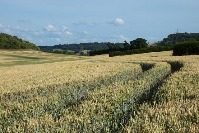
Bradenham is a charming village nestled in the heart of Buckinghamshire, England. Located approximately 5 miles southeast of High Wycombe, it is a picturesque place known for its idyllic countryside and rich history. The village is set amidst rolling hills and lush green fields, providing a serene and tranquil atmosphere for its residents and visitors.
One of the notable features of Bradenham is its stunning Grade I listed manor house, Bradenham Manor, which dates back to the 17th century. Surrounded by beautifully manicured gardens, this historic building adds to the village's charm and allure. The manor house is privately owned and not open to the public, but its presence contributes to the character and heritage of the area.
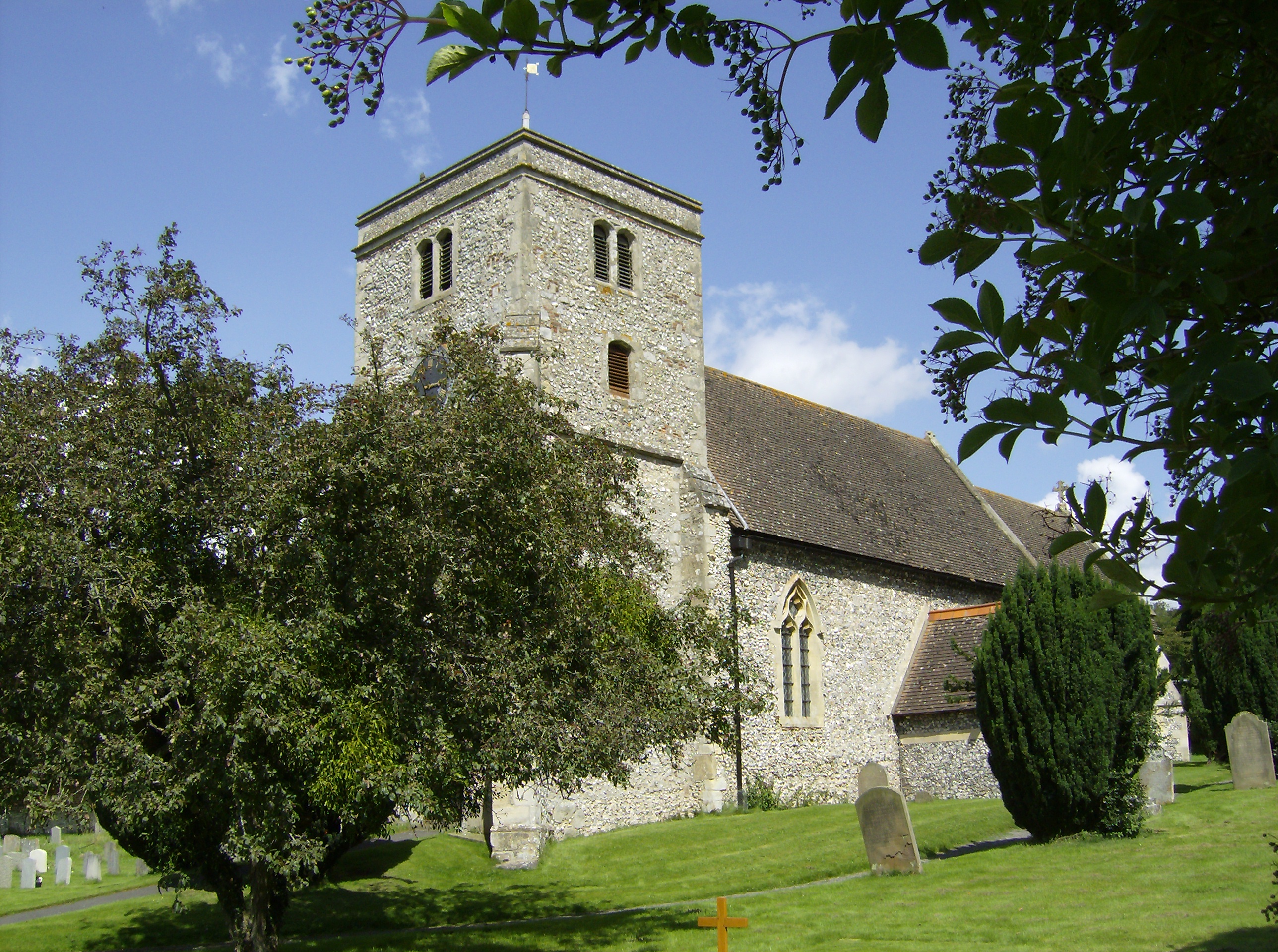
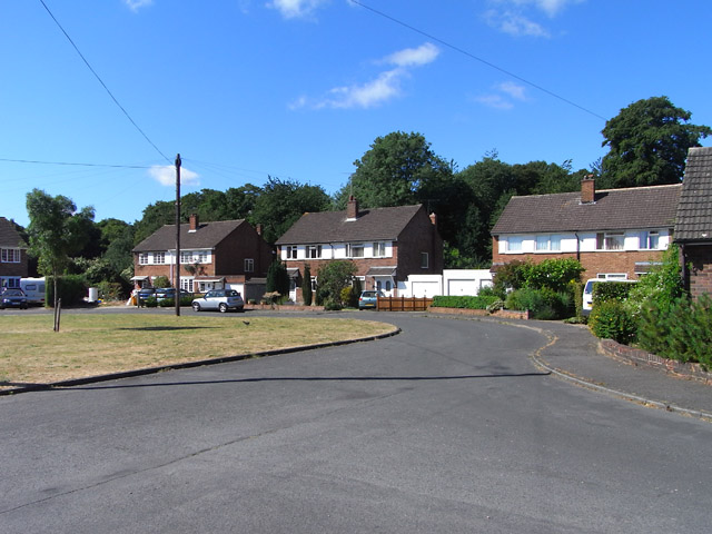
The village itself is relatively small, with a close-knit community that enjoys a peaceful and close connection with nature. Its traditional thatched cottages and period architecture add to the quaint and timeless ambiance of Bradenham. The village church, St. Botolph's, is another notable landmark, showcasing stunning architecture and historical significance.
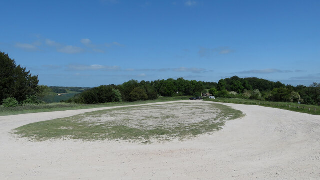
Bradenham is an ideal destination for nature lovers and outdoor enthusiasts. The surrounding countryside offers numerous walking paths and trails, allowing visitors to explore the beauty of the Chiltern Hills Area of Outstanding Natural Beauty. The nearby Hughenden Manor, a National Trust property, provides further opportunities for exploration and historical appreciation.
In summary, Bradenham is a captivating village in Buckinghamshire that offers a rich blend of natural beauty, historical significance, and a peaceful rural lifestyle. It is a hidden gem that attracts those seeking tranquility and an escape from the hustle and bustle of modern life.
If you have any feedback on the listing, please let us know in the comments section below.
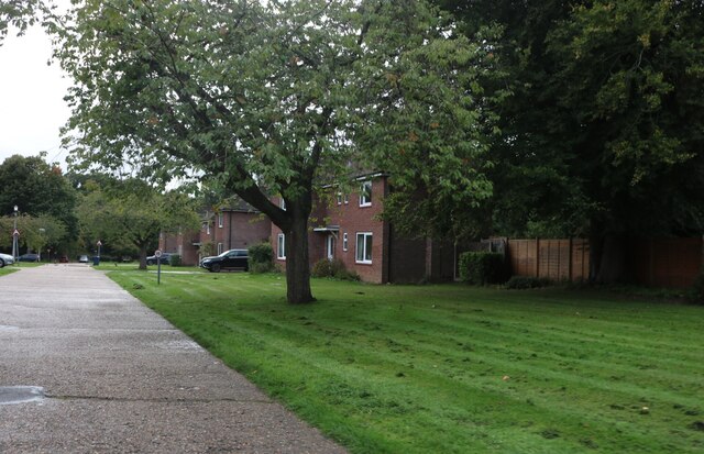
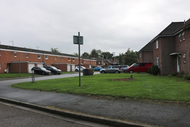
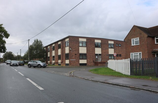
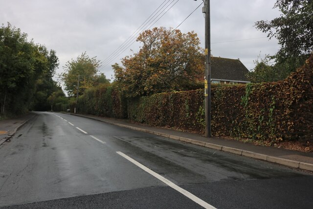
Bradenham Images
Images are sourced within 2km of 51.665944/-0.808496 or Grid Reference SU8297. Thanks to Geograph Open Source API. All images are credited.


Bradenham is located at Grid Ref: SU8297 (Lat: 51.665944, Lng: -0.808496)
Unitary Authority: Buckinghamshire
Police Authority: Thames Valley
What 3 Words
///float.jumps.amused. Near High Wycombe, Buckinghamshire
Nearby Locations
Related Wikis
Bradenham, Buckinghamshire
Bradenham is a village and civil parish in Buckinghamshire, England. It is near Saunderton, off the main A4010 road between Princes Risborough and High...

Buttlers Hangings
Buttlers Hangings is a 3.9-hectare (9.6-acre) Site of Special Scientific Interest north of West Wycombe in Buckinghamshire. It is in the Chilterns Area...

Bradenham Woods, Park Wood and The Coppice
Bradenham Woods, Park Wood and The Coppice is a 129.1-hectare (319-acre) biological Site of Special Scientific Interest in Bradenham in Buckinghamshire...

Naphill Common
Naphhill Common is a 71.1-hectare (176-acre) Site of Special Scientific Interest in Naphill in Buckinghamshire. It is in of the Chilterns Area of Outstanding...
Walters Ash
Walters Ash (also sometimes called Walter's Ash) is a village in the parish of Bradenham, in Buckinghamshire, England. It is located in the Chiltern Hills...
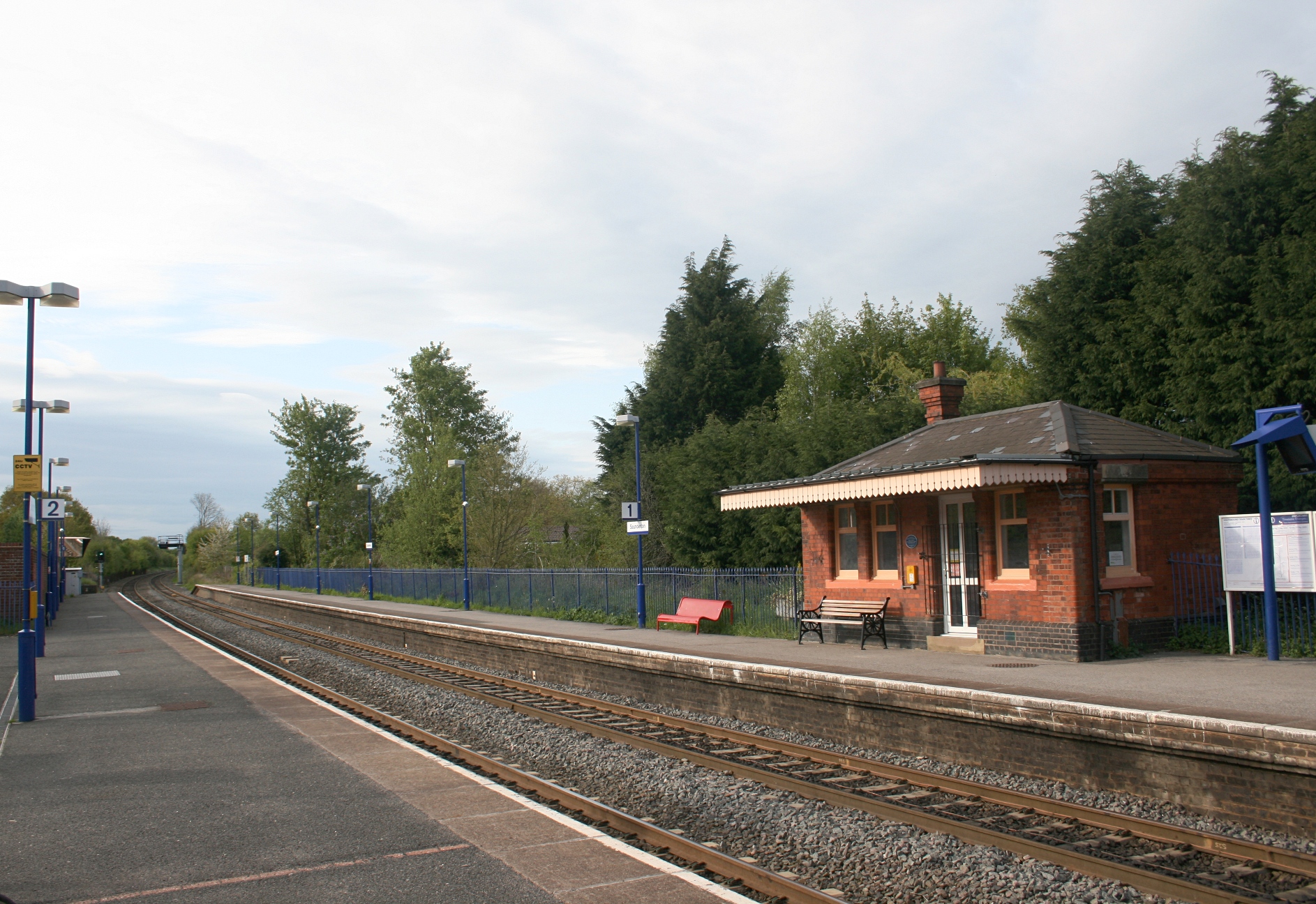
Saunderton railway station
Saunderton railway station is a railway station on the A4010 road between High Wycombe and Princes Risborough, in Buckinghamshire, England. It is located...

RAF High Wycombe
Royal Air Force High Wycombe or more simply RAF High Wycombe is a Royal Air Force station, situated in the village of Walters Ash, near High Wycombe in...
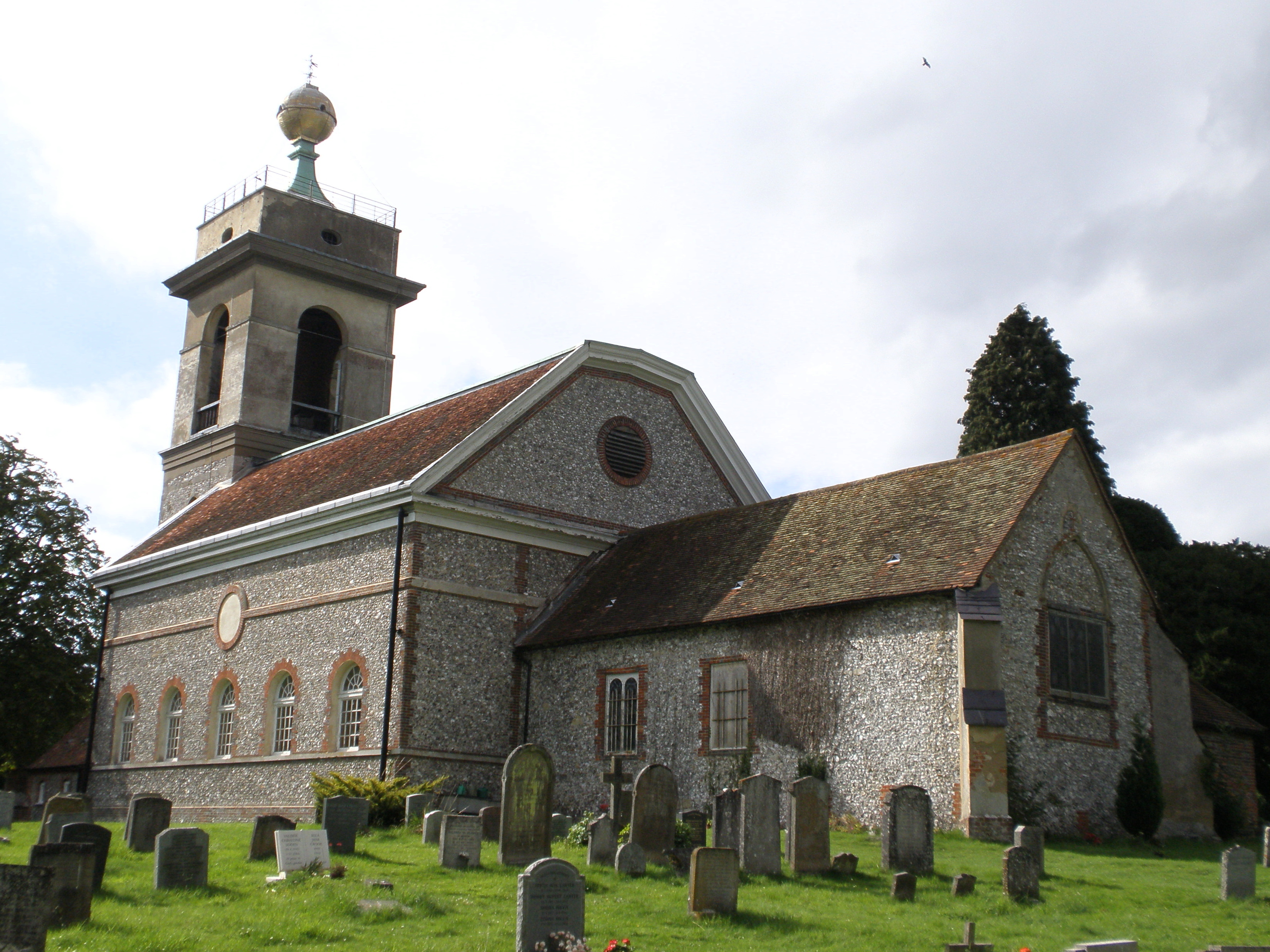
St Lawrence's Church, West Wycombe
St Lawrence's Church is a Church of England church in the parish of West Wycombe, Buckinghamshire, England. It sits on top of West Wycombe Hill in a prominent...
Nearby Amenities
Located within 500m of 51.665944,-0.808496Have you been to Bradenham?
Leave your review of Bradenham below (or comments, questions and feedback).