Walton Warren
Settlement in Norfolk King's Lynn and West Norfolk
England
Walton Warren
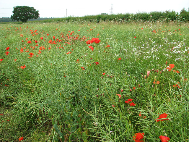
Walton Warren is a small, picturesque village located in Norfolk, a county in eastern England. Situated near the coast, it lies approximately 8 miles north of the town of Great Yarmouth and 16 miles east of the city of Norwich. With a population of around 600 residents, Walton Warren offers a peaceful and close-knit community atmosphere.
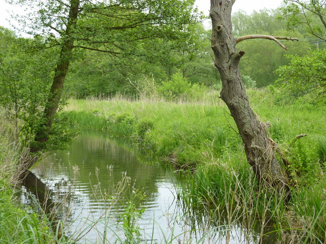
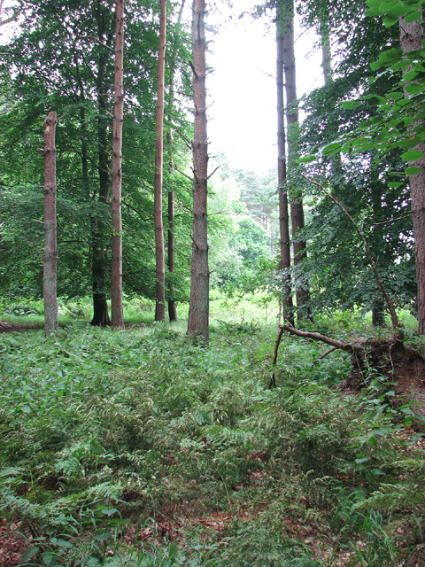
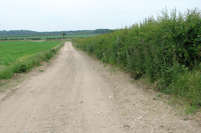
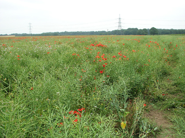
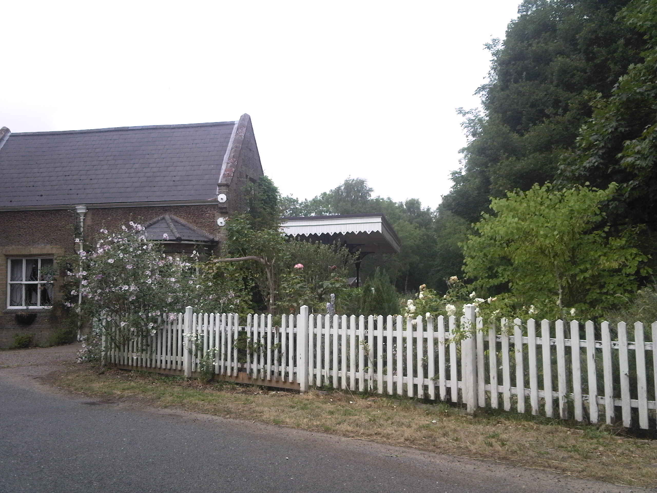
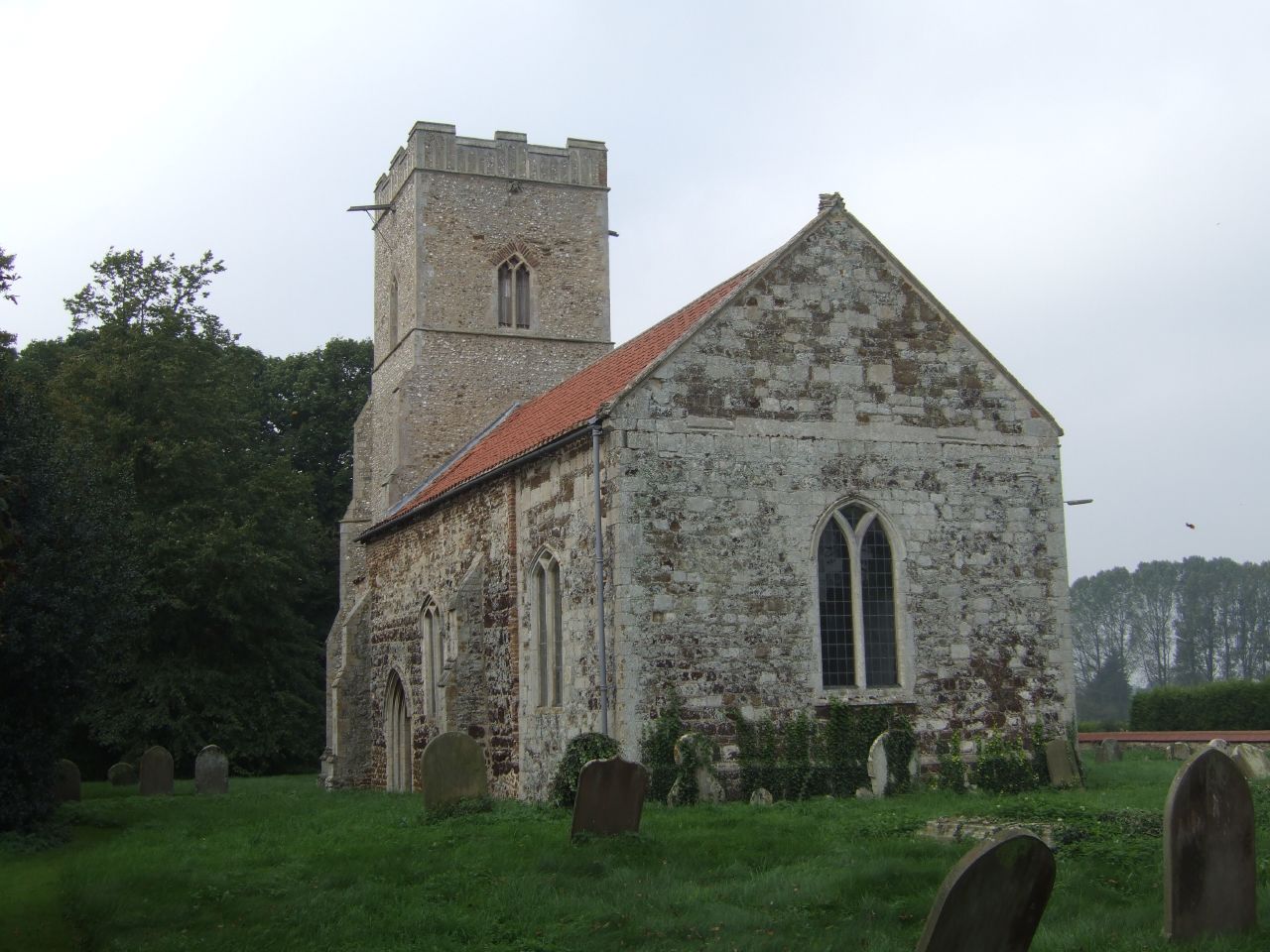
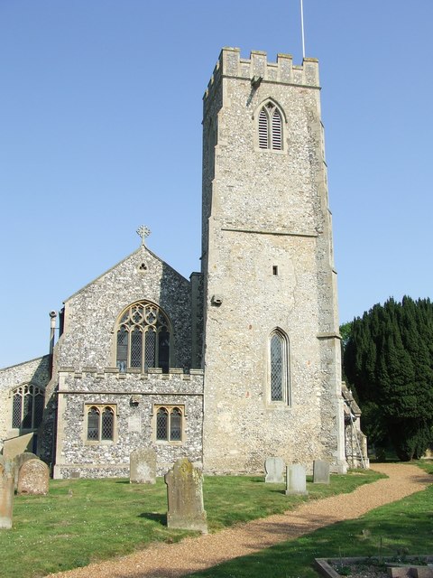
The village is surrounded by beautiful countryside, with rolling fields and scenic landscapes. It boasts a traditional English village charm, characterized by its thatched-roof cottages, well-maintained gardens, and narrow lanes. The local parish church, St. Mary's, is a notable landmark, dating back to the 14th century and featuring stunning architectural details.
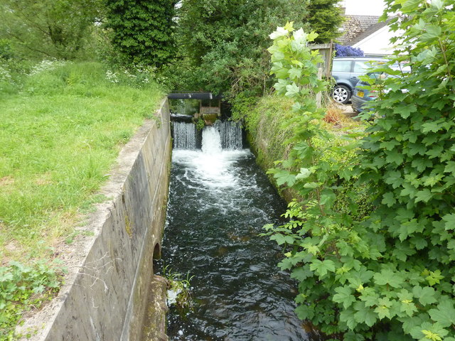
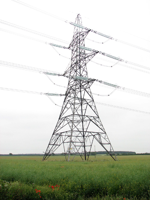
Walton Warren is well-known for its proximity to the Norfolk Broads, a network of rivers, lakes, and marshes that form one of England's most iconic national parks. This unique environment provides ample opportunities for boating, fishing, and wildlife spotting, attracting tourists from near and far.
Although Walton Warren is primarily a residential area, it benefits from its close proximity to neighboring towns and cities. Residents enjoy easy access to amenities such as schools, shops, and healthcare facilities, while still enjoying the tranquility of village life.
Overall, Walton Warren offers a charming, idyllic setting for those seeking a peaceful retreat in the heart of the Norfolk countryside. Whether residents or visitors, individuals can appreciate the village's natural beauty and close community spirit while taking advantage of the wider attractions and amenities of the surrounding area.
If you have any feedback on the listing, please let us know in the comments section below.
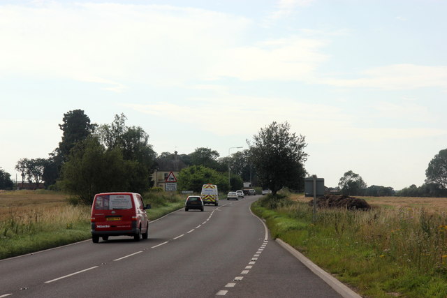
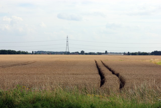
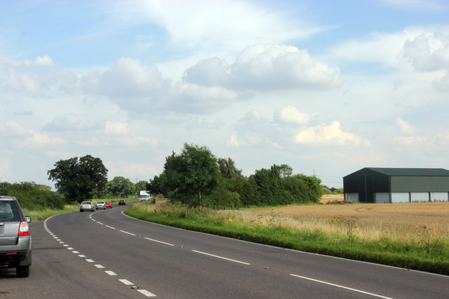
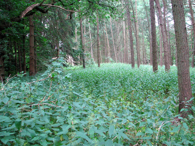
Walton Warren Images
Images are sourced within 2km of 52.704701/0.57392419 or Grid Reference TF7415. Thanks to Geograph Open Source API. All images are credited.


Walton Warren is located at Grid Ref: TF7415 (Lat: 52.704701, Lng: 0.57392419)
Administrative County: Norfolk
District: King's Lynn and West Norfolk
Police Authority: Norfolk
What 3 Words
///reacting.fluctuate.folds. Near Narborough, Norfolk
Nearby Locations
Related Wikis

East Walton
East Walton is a village in the English county of Norfolk. The village is located 7.8 miles (12.6 km) south-east of King's Lynn and 31 miles (50 km) north...

East Walton and Adcock's Common
East Walton and Adcock's Common is a 62.4-hectare (154-acre) biological and geological Site of Special Scientific Interest south-east of King's Lynn in...

Bilney railway station
Bilney railway station was located on the line between East Winch and Narborough and Pentney. It served the village of West Bilney, and closed in 1866...
Narborough and Pentney railway station
Narborough and Pentney station was in Norfolk, serving the villages of Narborough and Pentney. == History == It was on the line between King's Lynn and...

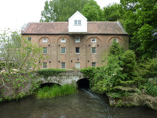
Narborough Watermill
Narborough Watermill is located on the river Nar, within the village of Narborough in the English county of Norfolk. The watermill is thought to have been...
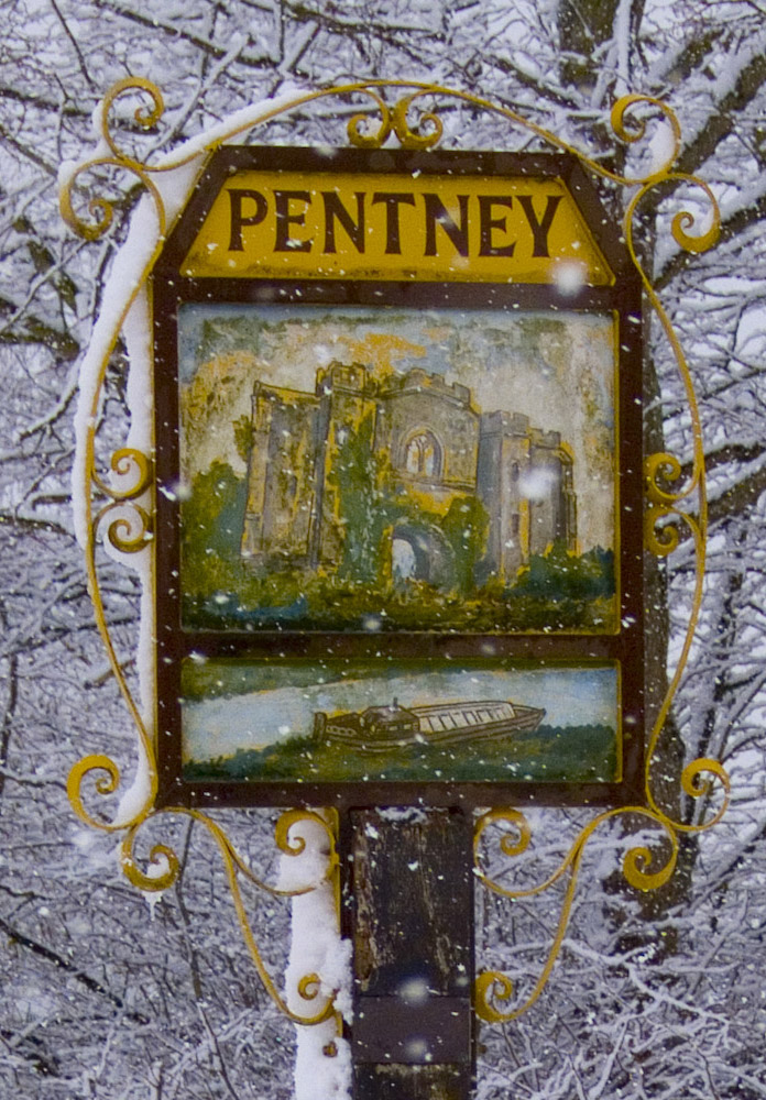
Pentney
Pentney is a village and civil parish in the English county of Norfolk, located about 8 miles (13 km) south east of King's Lynn placing it about halfway...
West Bilney
West Bilney is a village and former civil parish on the A47 road, 32 miles (51 km) west of Norwich, now in the parish of East Winch, in the King's Lynn...
Narborough, Norfolk
Narborough is a village of 1405 hectares in the Breckland district of Norfolk, England, with a population of 1,094 at the 2011 census. It is situated...
Nearby Amenities
Located within 500m of 52.704701,0.57392419Have you been to Walton Warren?
Leave your review of Walton Warren below (or comments, questions and feedback).