Walton West

Settlement in Pembrokeshire

Wales

Walton West

The Settlands Looking north across the beach between Little Haven and Broad Haven.
The Settlands Credit: Trevor Rickard

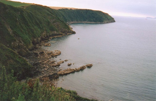
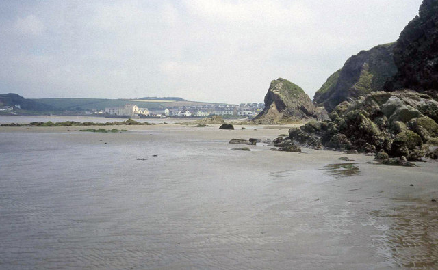
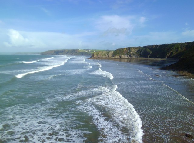
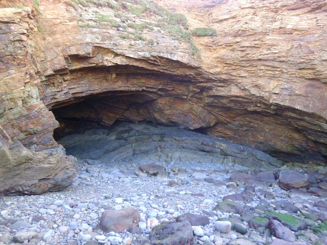
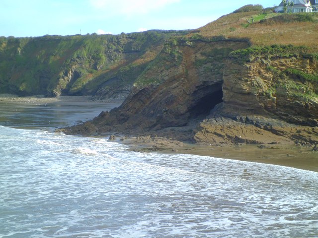
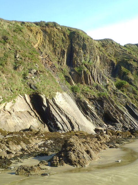
Walton West is a small village located in the county of Pembrokeshire, Wales. Situated on the western coast of the country, it lies just a short distance from the popular tourist destination of Tenby. The village is surrounded by stunning natural beauty, with rolling hills, lush green fields, and breathtaking views of the nearby coastline.

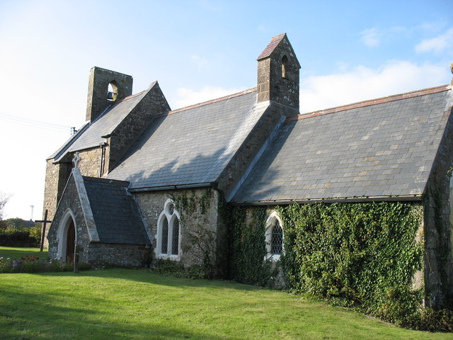
Despite its small size, Walton West has a rich history that dates back centuries. It is home to a number of historical landmarks, including the ruins of a medieval church and an ancient burial ground. These sites offer visitors a glimpse into the village's past and provide a sense of the area's historical significance.

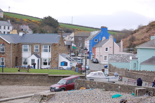
The village itself is charming and picturesque, with traditional stone cottages and quaint country lanes. It offers a peaceful retreat from the hustle and bustle of city life, making it a popular destination for those seeking tranquility and relaxation. The surrounding countryside provides ample opportunities for outdoor activities such as hiking, cycling, and horse riding.

Walton West is also well-served by amenities and facilities. There is a local pub where visitors can enjoy a pint of locally brewed ale and sample traditional Welsh cuisine. The village is also within easy reach of Tenby, which offers a wider range of shops, restaurants, and entertainment options.

Overall, Walton West is a hidden gem in the heart of Pembrokeshire, offering visitors a chance to unwind and immerse themselves in the natural beauty and rich history of the area.

If you have any feedback on the listing, please let us know in the comments section below.
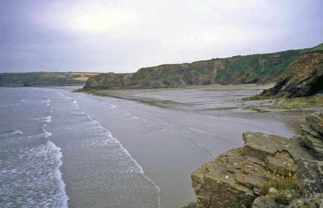
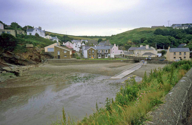
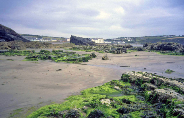
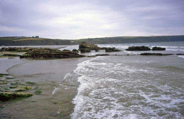
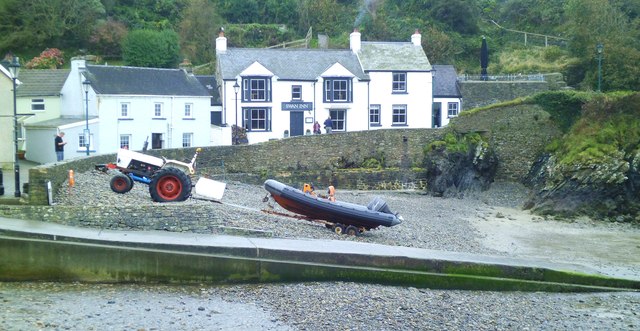
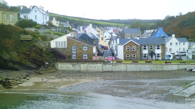
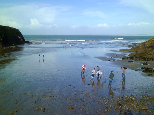
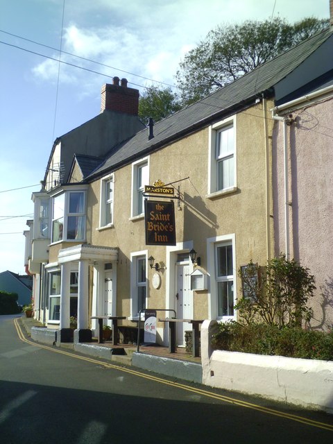
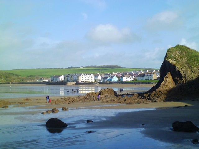
Walton West Images

Images are sourced within 2km of 51.774074/-5.100029 or Grid Reference SM8612. Thanks to Geograph Open Source API. All images are credited.

The Settlands Looking north across the beach between Little Haven and Broad Haven.
The Settlands
Looking north across the beach between Little Haven and Broad Haven.
Little Haven Attractive little cove with a slipway for the inshore lifeboat. There has been a lifeboat station here since 1882.
Little Haven
Attractive little cove with a slipway for the inshore lifeboat. There has been a lifeboat station here since 1882.
North end of Broad Haven beach Looking south-east to Emmet Rock and beyond to the houses  and hotel at Broad Haven.
North end of Broad Haven beach
Looking south-east to Emmet Rock and beyond to the houses and hotel at Broad Haven.
Shag Rock and Broad Haven Beach Looking south at low tide towards the cliffs at Little haven.
Shag Rock and Broad Haven Beach
Looking south at low tide towards the cliffs at Little haven.
Coastline at Little Haven
All Saints Church, Walton West
Broad Haven beach At low tide looking north-east towards the village. Settlands rocks on the right.
Broad Haven beach
At low tide looking north-east towards the village. Settlands rocks on the right.
Little Haven
Little Haven
Swan Inn, Little Haven Pub/restaurant by the shore in this tiny village.
Swan Inn, Little Haven
Pub/restaurant by the shore in this tiny village.
Little Haven Attractive village of colour washed cottages in a deep valley that opens out to the sea.
Little Haven
Attractive village of colour washed cottages in a deep valley that opens out to the sea.
St Mary's Church, Talbenny The parish church of Talbenny is surrounded by fields on the cliff top between the village and Little Haven.
St Mary's Church, Talbenny
The parish church of Talbenny is surrounded by fields on the cliff top between the village and Little Haven.
Mucking about on the beach An impromptu game of beach rugby at Little Haven.
Mucking about on the beach
An impromptu game of beach rugby at Little Haven.
St Bride's Inn The St Bride's is one of 3 pubs in this tiny seaside village.
St Bride's Inn
The St Bride's is one of 3 pubs in this tiny seaside village.
Looking north across The Settlands The view north along the coast from The Point at Little Haven. The first bay in view is The Settlands which is followed by the minor headland of The Rain, beyond which is the beach at Broad Haven.
Looking north across The Settlands
The view north along the coast from The Point at Little Haven. The first bay in view is The Settlands which is followed by the minor headland of The Rain, beyond which is the beach at Broad Haven.
Close up of Fox Hole Cave The cave has developed in a small anticline of coal measures strata and clearly shows differential erosion in sedimentary rocks. The roof of the cave is of more resistant sandstones, whilst the cave has eroded out of softer mudstone and a very thin coal seam.
Close up of Fox Hole Cave
The cave has developed in a small anticline of coal measures strata and clearly shows differential erosion in sedimentary rocks. The roof of the cave is of more resistant sandstones, whilst the cave has eroded out of softer mudstone and a very thin coal seam.
Fox Hole, Little Haven A prominent cave formed in the coal measures series of rocks that form the coastline along much of the eastern side of St Bride's Bay. See close up photo for more detailed description.
Fox Hole, Little Haven
A prominent cave formed in the coal measures series of rocks that form the coastline along much of the eastern side of St Bride's Bay. See close up photo for more detailed description.
Folded rock strata at The Settlands Folded sedimentary rocks of carboniferous age coal measure sandstones, shales etc. The coal measure series run in a narrow band from St Bride's Bay eastwards through the Haverfordwest area to emerge on the SE coast near Saundersfoot. Coal was once mined in this area, but the contorted strata gives some idea as to how difficult extraction must have been.
Folded rock strata at The Settlands
Folded sedimentary rocks of carboniferous age coal measure sandstones, shales etc. The coal measure series run in a narrow band from St Bride's Bay eastwards through the Haverfordwest area to emerge on the SE coast near Saundersfoot. Coal was once mined in this area, but the contorted strata gives some idea as to how difficult extraction must have been.
Heading for Broad Haven At low tide one can walk along the beach from Little Haven to Broad Haven. This is the view of Broad Haven beach and village as the second headland is passed.
Heading for Broad Haven
At low tide one can walk along the beach from Little Haven to Broad Haven. This is the view of Broad Haven beach and village as the second headland is passed.
Show me another place!

Walton West is located at Grid Ref: SM8612 (Lat: 51.774074, Lng: -5.100029)

Unitary Authority: Pembrokeshire

Police Authority: Dyfed Powys

Also known as: Waltwn Gorllewin

What 3 Words

///linked.commenced.pocket. Near Broad Haven, Pembrokeshire

Related Wikis

Little and Broad Haven Lifeboat Station

Little and Broad Haven Lifeboat Station is a Royal National Lifeboat Institution (RNLI) lifeboat station in Pembrokeshire, West Wales. The station was...
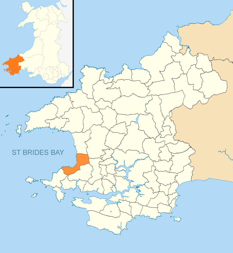
The Havens

The Havens is the name of a community and an electoral ward in Pembrokeshire, West Wales. The community includes the villages of Little Haven, Broad Haven...

Little Haven

Little Haven (Welsh: Hafan Fach) is a village at the south-east corner of St Bride's Bay, Pembrokeshire, Wales. It is in the Pembrokeshire Coast National...

Broad Haven

Broad Haven (Welsh: Aberllydan) is a village and seaside resort in the south east corner of St Bride's Bay at the western terminus of the B4341 road in...

Nearby Amenities

Located within 500m of 51.774074,-5.100029
Passing Place
Lat/Long: 51.777201/-5.1024231
Toilets
Lat/Long: 51.7732675/-5.1071087
Direction: 255
Generator Method: photovoltaic
Generator Output Electricity: yes
Generator Solar Modules: 15
Generator Source: solar
Generator Type: solar_photovoltaic_panel
Location: roof
Power: generator
Lat/Long: 51.7785561/-5.0997732
Direction: 185
Generator Method: photovoltaic
Generator Output Electricity: yes
Generator Solar Modules: 17
Generator Source: solar
Generator Type: solar_photovoltaic_panel
Location: roof
Power: generator
Lat/Long: 51.7749826/-5.1069568
Direction: 165
Generator Method: photovoltaic
Generator Output Electricity: yes
Generator Solar Modules: 7
Generator Source: solar
Generator Type: solar_photovoltaic_panel
Location: roof
Power: generator
Lat/Long: 51.7744922/-5.1069635
Direction: 165
Generator Method: photovoltaic
Generator Output Electricity: yes
Generator Solar Modules: 7
Generator Source: solar
Generator Type: solar_photovoltaic_panel
Location: roof
Power: generator
Lat/Long: 51.7744557/-5.1069421
Direction: SSW
Generator Method: photovoltaic
Generator Output Electricity: yes
Generator Solar Modules: 18
Generator Source: solar
Generator Type: solar_photovoltaic_panel
Location: roof
Power: generator
Lat/Long: 51.7741661/-5.106521
Direction: 195
Generator Method: photovoltaic
Generator Output Electricity: yes
Generator Solar Modules: 5
Generator Source: solar
Generator Type: solar_photovoltaic_panel
Location: roof
Power: generator
Lat/Long: 51.7736209/-5.1051812
Direction: 195
Generator Method: photovoltaic
Generator Output Electricity: yes
Generator Solar Modules: 7
Generator Source: solar
Generator Type: solar_photovoltaic_panel
Location: roof
Power: generator
Lat/Long: 51.7735802/-5.1052362
Direction: 185
Generator Method: photovoltaic
Generator Output Electricity: yes
Generator Solar Modules: 10
Generator Source: solar
Generator Type: solar_photovoltaic_panel
Location: roof
Power: generator
Lat/Long: 51.7739985/-5.1068079
Direction: S
Generator Method: photovoltaic
Generator Output Electricity: yes
Generator Solar Modules: 8
Generator Source: solar
Generator Type: solar_photovoltaic_panel
Location: roof
Power: generator
Lat/Long: 51.773664/-5.1068254
Direction: S
Generator Method: photovoltaic
Generator Output Electricity: yes
Generator Solar Modules: 10
Generator Source: solar
Generator Type: solar_photovoltaic_panel
Location: roof
Power: generator
Lat/Long: 51.7735595/-5.1068643
Direction: 185
Generator Method: photovoltaic
Generator Output Electricity: yes
Generator Solar Modules: 6
Generator Source: solar
Generator Type: solar_photovoltaic_panel
Location: roof
Power: generator
Lat/Long: 51.773367/-5.0950009
Direction: S
Generator Method: photovoltaic
Generator Output Electricity: yes
Generator Solar Modules: 16
Generator Source: solar
Generator Type: solar_photovoltaic_panel
Location: roof
Power: generator
Lat/Long: 51.7764879/-5.0955722
Walton West
Name Cy: Gorllewin Waltwn
Place: hamlet
Lat/Long: 51.7743253/-5.0999752
Passing Place
Lat/Long: 51.7767468/-5.1019053
Communication Mobile Phone: yes
Man Made: mast
Tower Type: communication
Lat/Long: 51.7746939/-5.1022018
The data included in this document is from www.openstreetmap.org. The data is made available under ODbL.

Have you been to Walton West?

Leave your review of Walton West below (or comments, questions and feedback).