Osierbed Plantation
Wood, Forest in Norfolk King's Lynn and West Norfolk
England
Osierbed Plantation
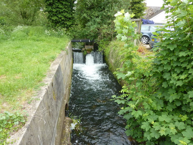
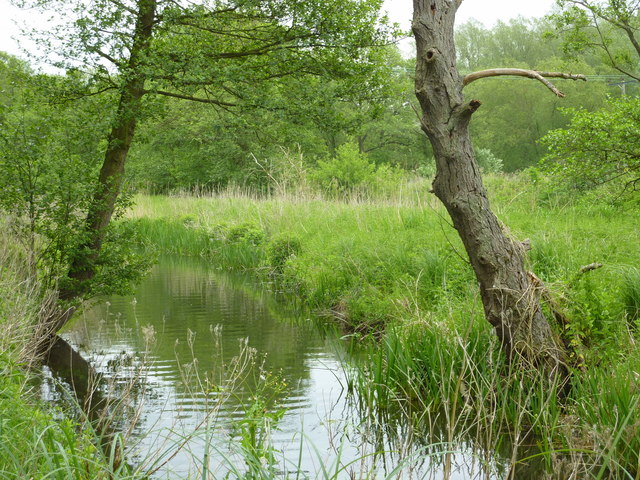
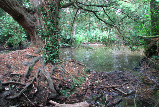
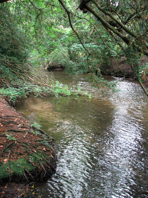
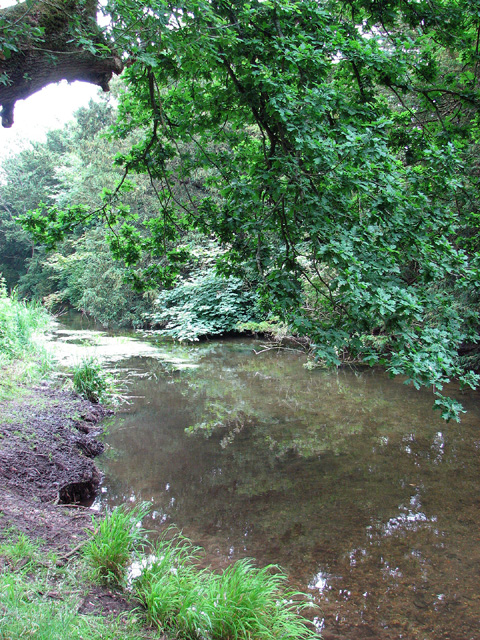
Osierbed Plantation is a historic woodland located in the county of Norfolk, England. Situated in the village of Wood, it is known for its picturesque surroundings and rich natural diversity. The plantation covers a vast area, encompassing a variety of landscapes including dense forests, open meadows, and tranquil water bodies.
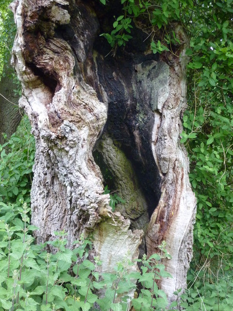
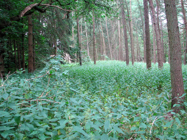
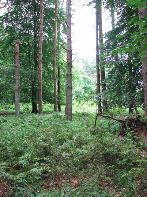
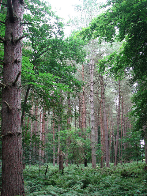
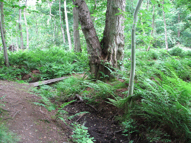
The woodland of Osierbed Plantation is predominantly made up of native deciduous trees such as oak, ash, and birch, which provide a dense canopy and create a thriving ecosystem for a wide range of flora and fauna. The forest floor is carpeted with a diverse array of wildflowers, ferns, and mosses, adding to the visual appeal of the woodland.
The plantation is also home to a number of wildlife species, including deer, foxes, rabbits, and various bird species. Birdwatchers frequent the area to catch a glimpse of rare species like the nightingale and woodpecker that call Osierbed Plantation their home.
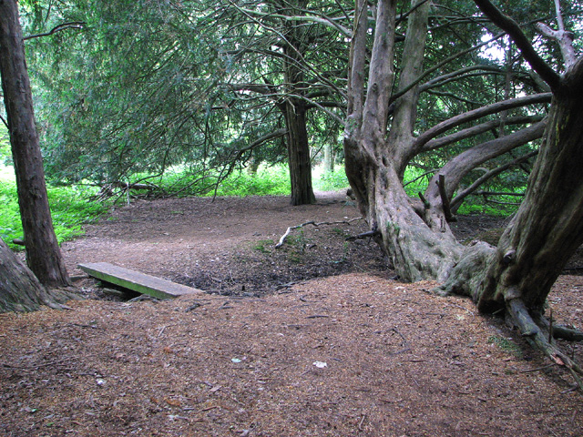
Visitors to Osierbed Plantation can enjoy a range of recreational activities, including walking trails, cycling routes, and nature walks. The plantation is well-maintained, with clearly marked paths and picnic areas dotted throughout the woodland.
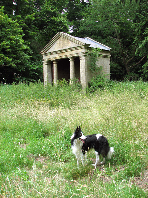
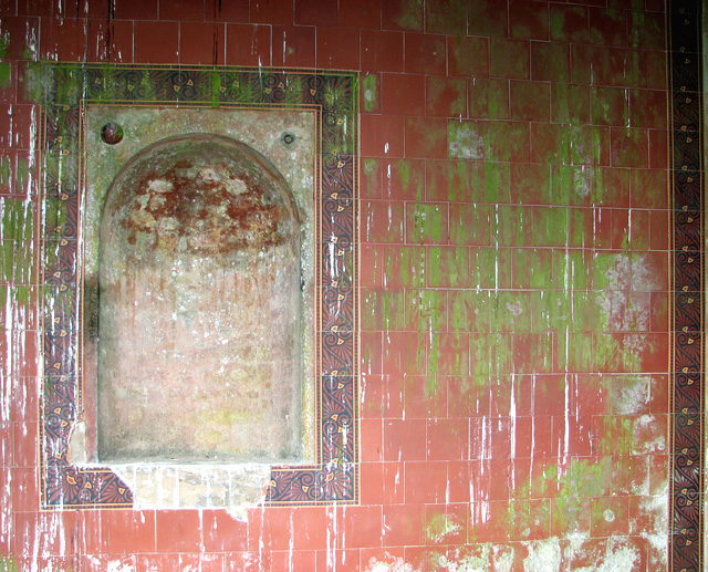
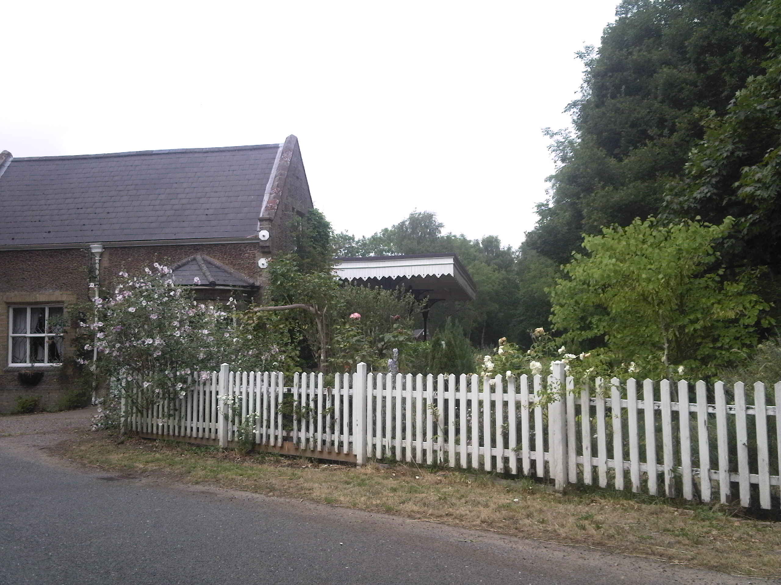
Osierbed Plantation holds historical significance as well, with remnants of ancient structures and artifacts dating back centuries. The plantation has been carefully preserved and managed by local authorities, ensuring the conservation of its natural beauty while allowing visitors to appreciate its historical and environmental value.
If you have any feedback on the listing, please let us know in the comments section below.
Osierbed Plantation Images
Images are sourced within 2km of 52.70563/0.5799597 or Grid Reference TF7415. Thanks to Geograph Open Source API. All images are credited.


Osierbed Plantation is located at Grid Ref: TF7415 (Lat: 52.70563, Lng: 0.5799597)
Administrative County: Norfolk
District: King's Lynn and West Norfolk
Police Authority: Norfolk
What 3 Words
///nappy.prancing.alleges. Near Narborough, Norfolk
Nearby Locations
Related Wikis

East Walton
East Walton is a village in the English county of Norfolk. The village is located 7.8 miles (12.6 km) south-east of King's Lynn and 31 miles (50 km) north...

East Walton and Adcock's Common
East Walton and Adcock's Common is a 62.4-hectare (154-acre) biological and geological Site of Special Scientific Interest south-east of King's Lynn in...
Narborough and Pentney railway station
Narborough and Pentney station was in Norfolk, serving the villages of Narborough and Pentney. == History == It was on the line between King's Lynn and...

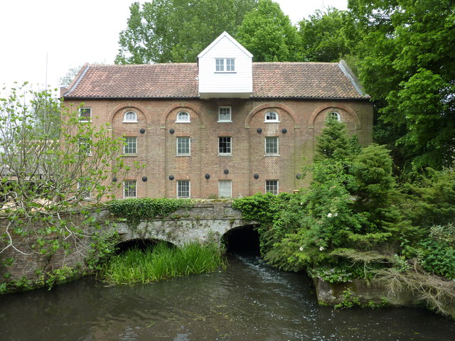
Narborough Watermill
Narborough Watermill is located on the river Nar, within the village of Narborough in the English county of Norfolk. The watermill is thought to have been...
Nearby Amenities
Located within 500m of 52.70563,0.5799597Have you been to Osierbed Plantation?
Leave your review of Osierbed Plantation below (or comments, questions and feedback).