Waterlane Plantation
Wood, Forest in Norfolk King's Lynn and West Norfolk
England
Waterlane Plantation

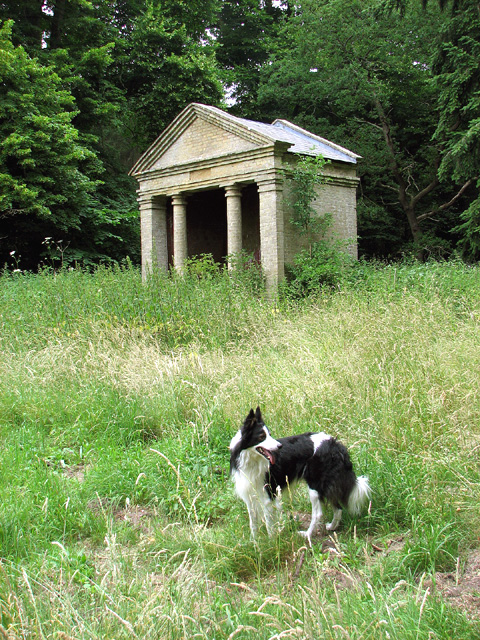
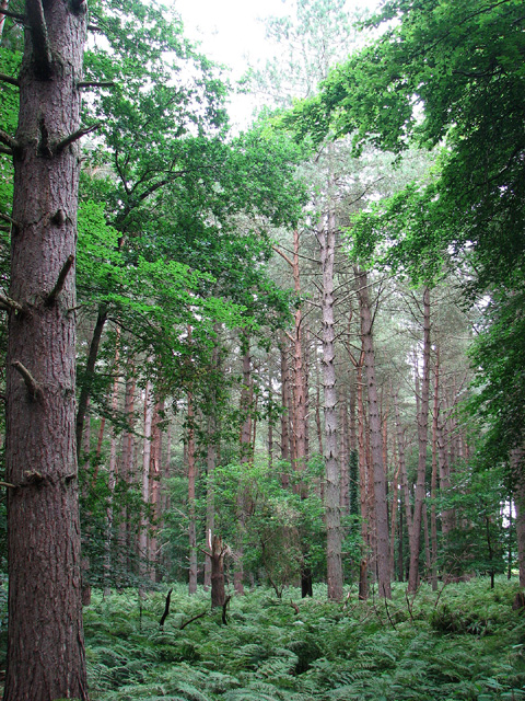
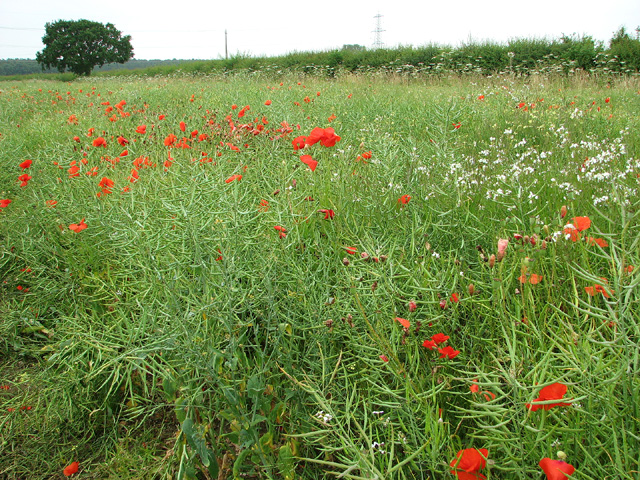
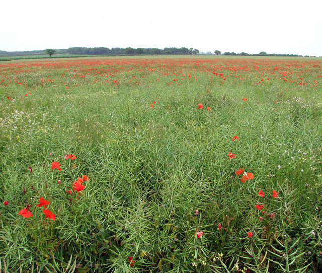
Waterlane Plantation is a picturesque woodland located in Norfolk, England. Covering an expansive area, this plantation is renowned for its dense forest and thriving wildlife. The plantation is situated near the village of Wood, making it easily accessible for visitors.
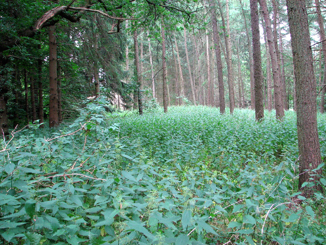
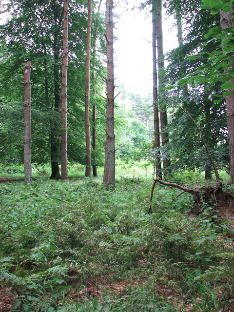
The woodland of Waterlane Plantation is characterized by its diverse range of trees, including oak, beech, and pine. These towering trees create a stunning canopy, providing shade and shelter for the various animals that call this place home. The forest floor is carpeted with an array of wildflowers and ferns, adding to its natural beauty.
The plantation offers numerous walking trails, allowing visitors to explore the woodland at their own pace. These well-maintained paths wind through the forest, offering glimpses of the local wildlife and panoramic views of the surrounding countryside. Birdwatchers will be delighted to spot species such as woodpeckers, owls, and various songbirds.
Waterlane Plantation also boasts a tranquil atmosphere, making it an ideal spot for nature enthusiasts seeking peace and serenity. Whether it's a leisurely stroll, a picnic among the trees, or simply enjoying the sights and sounds of nature, this plantation provides an escape from the hustle and bustle of everyday life.
Overall, Waterlane Plantation in Norfolk is a haven for nature lovers. With its lush forest, diverse wildlife, and peaceful ambiance, it offers an unforgettable experience for those seeking a connection with the natural world.
If you have any feedback on the listing, please let us know in the comments section below.
Waterlane Plantation Images
Images are sourced within 2km of 52.710387/0.58121757 or Grid Reference TF7415. Thanks to Geograph Open Source API. All images are credited.


Waterlane Plantation is located at Grid Ref: TF7415 (Lat: 52.710387, Lng: 0.58121757)
Administrative County: Norfolk
District: King's Lynn and West Norfolk
Police Authority: Norfolk
What 3 Words
///nickname.nicer.built. Near Narborough, Norfolk
Nearby Locations
Related Wikis

East Walton
East Walton is a village in the English county of Norfolk. The village is located 7.8 miles (12.6 km) south-east of King's Lynn and 31 miles (50 km) north...

East Walton and Adcock's Common
East Walton and Adcock's Common is a 62.4-hectare (154-acre) biological and geological Site of Special Scientific Interest south-east of King's Lynn in...

Bilney railway station
Bilney railway station was located on the line between East Winch and Narborough and Pentney. It served the village of West Bilney, and closed in 1866...
Narborough and Pentney railway station
Narborough and Pentney station was in Norfolk, serving the villages of Narborough and Pentney. == History == It was on the line between King's Lynn and...
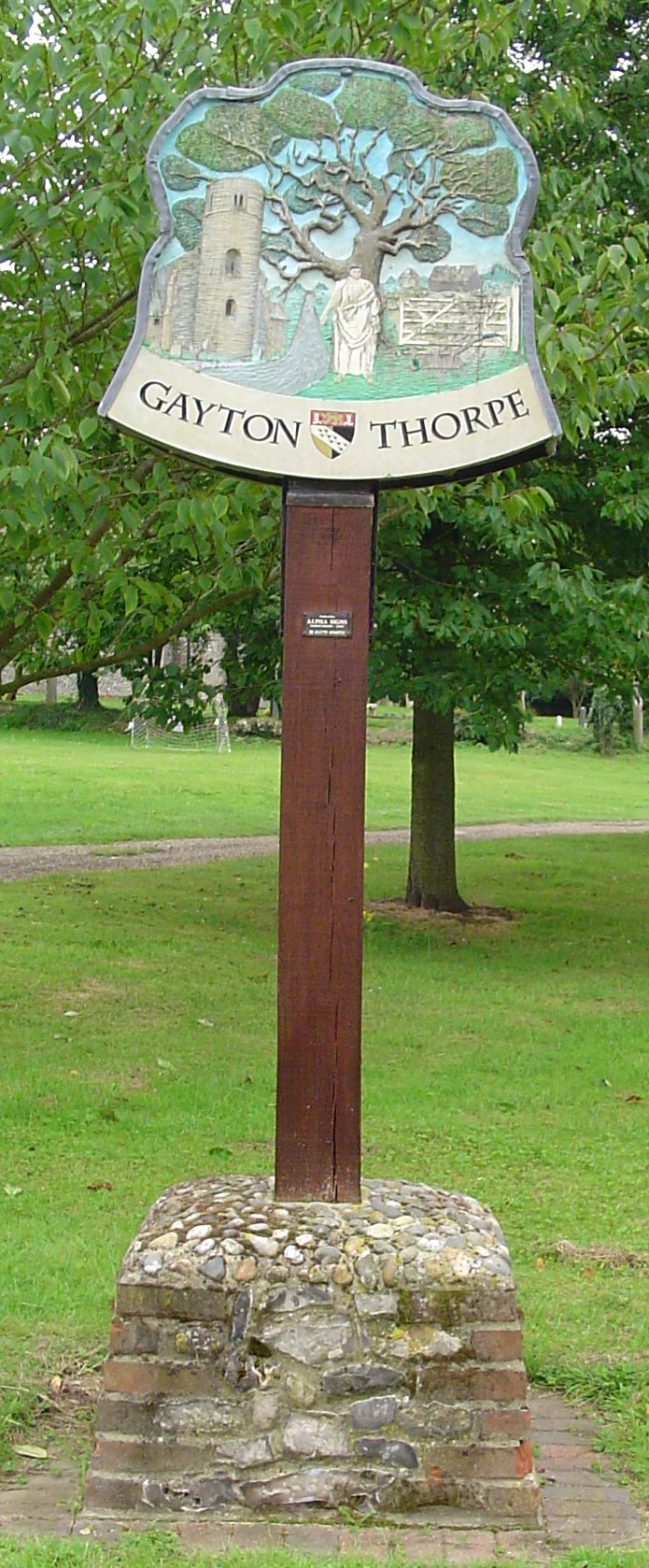
Gayton Thorpe
Gayton Thorpe is a village and former civil parish, now in the parish of Gayton, in the King's Lynn and West Norfolk district, in the county of Norfolk...

Narborough Watermill
Narborough Watermill is located on the river Nar, within the village of Narborough in the English county of Norfolk. The watermill is thought to have been...

Gayton Thorpe Roman Villa
Gayton Thorpe Roman Villa is the site of a Roman villa, near Gayton Thorpe and about 5 miles (8 km) east of King's Lynn, in Norfolk, England. It was discovered...

Narford
Narford is situated in the Breckland District of Norfolk and covers an area of 970 hectares (3.75 square miles). Narford village has all but disappeared...
Nearby Amenities
Located within 500m of 52.710387,0.58121757Have you been to Waterlane Plantation?
Leave your review of Waterlane Plantation below (or comments, questions and feedback).