Wales Bar
Settlement in Yorkshire
England
Wales Bar
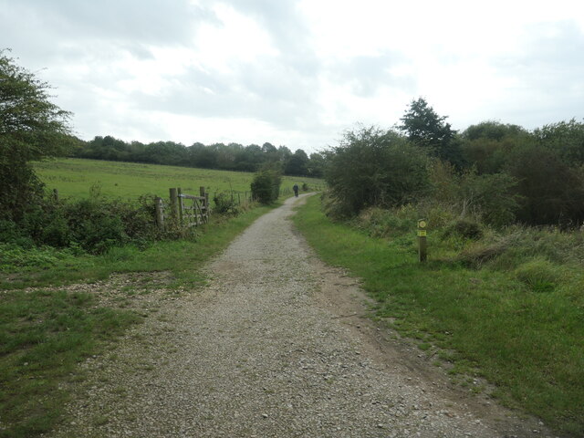
Wales Bar is a small village located in the metropolitan borough of Rotherham, in South Yorkshire, England. Situated on the eastern outskirts of Sheffield, it lies close to the border with Derbyshire, making it a gateway between the two counties. The village is nestled within the picturesque countryside, surrounded by rolling hills and farmland.
Historically, Wales Bar was a mining community, with coal mining being the primary industry in the area. However, the mines have long since closed, and the village has transformed into a residential area. Today, it is a quiet and tranquil village, offering a peaceful escape from the hustle and bustle of nearby cities.
The village is home to a small number of amenities, including a local pub, a convenience store, and a primary school. Although it may lack the extensive facilities found in larger towns, Wales Bar benefits from its close proximity to nearby villages and towns, such as Aston and Kiveton Park, where residents can access a wider range of services and amenities.
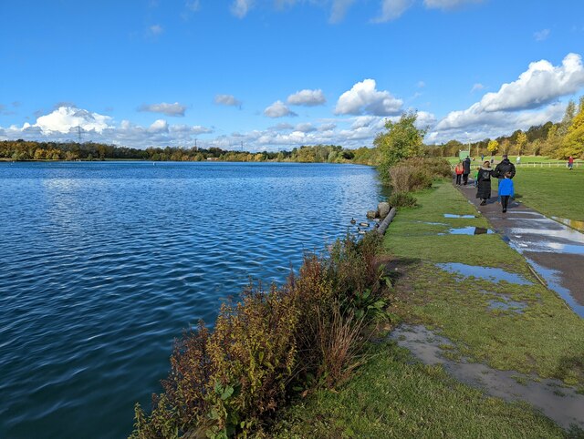
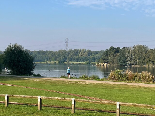
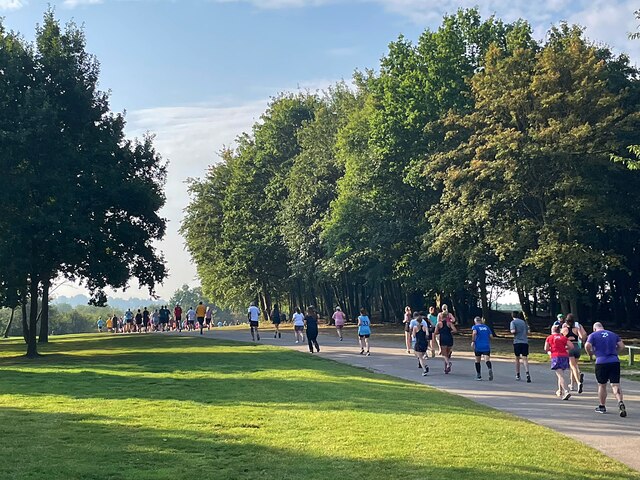
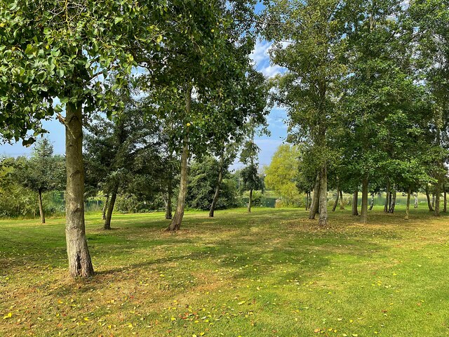
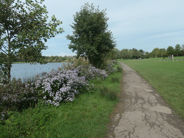
For nature lovers, Wales Bar provides ample opportunities for outdoor activities and exploration. The surrounding countryside offers beautiful walking trails, perfect for leisurely strolls or more challenging hikes. The village also benefits from its proximity to Rother Valley Country Park, a popular recreational area with a large lake, woodland, and various sports facilities.
Overall, Wales Bar is a charming village that offers a peaceful lifestyle in a picturesque rural setting, while still providing convenient access to nearby towns and cities.
If you have any feedback on the listing, please let us know in the comments section below.
Wales Bar Images
Images are sourced within 2km of 53.344902/-1.298505 or Grid Reference SK4683. Thanks to Geograph Open Source API. All images are credited.
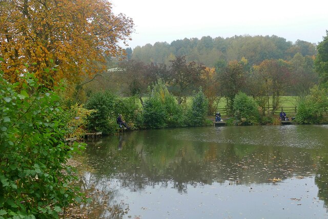
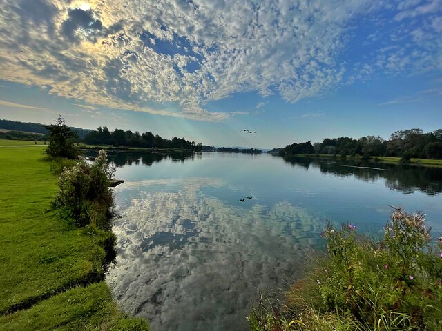
![River Rother, Rother Valley country park Looking downstream [locally north] from Pit Lane bridge. For more information and a view of the river sixteen years earlier, see <a href="https://www.geograph.org.uk/photo/539706">SK4583 : River Rother, near Waleswood</a>.](https://s1.geograph.org.uk/geophotos/07/62/10/7621001_cc33bb09.jpg)
Wales Bar is located at Grid Ref: SK4683 (Lat: 53.344902, Lng: -1.298505)
Division: West Riding
Unitary Authority: Rotherham
Police Authority: South Yorkshire
What 3 Words
///saloons.taxi.nooks. Near Wales, South Yorkshire
Nearby Locations
Related Wikis

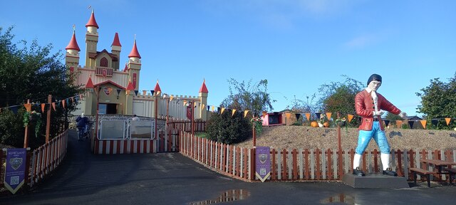
Gulliver's Valley
Gulliver's Valley is a theme park and resort located in Rotherham, England. Construction began in 2018 at a planned cost of £37 million. The first phase...
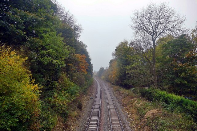
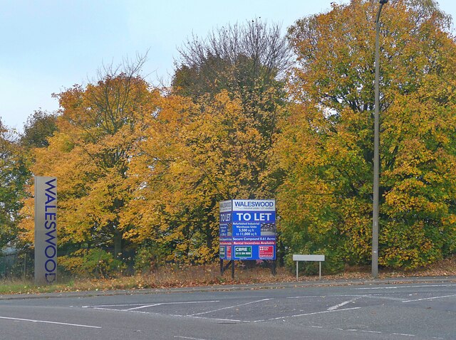
Waleswood Colliery
Waleswood Colliery was a coal mine situated between Swallownest and Wales Bar, near Rotherham, South Yorkshire, England. The colliery was adjacent to the...
Waleswood railway station
Waleswood railway station is a former railway station on the Great Central Railway's main line between Sheffield Victoria and Worksop, England. The station...
North Staveley Colliery
Aston Colliery was a small coal mine sunk on Aston Common, within Rotherham Rural District but six miles east of Sheffield in the 1840s. In 1864 its workings...

Aston, South Yorkshire
Aston is a residential village in the Metropolitan Borough of Rotherham, South Yorkshire, England. The village falls within the Holderness ward of the...
Wales High School
Wales High School is an academy school for 11- to 19-year-olds, in Kiveton, near Rotherham, South Yorkshire, England. Opened in 1970, the school provides...
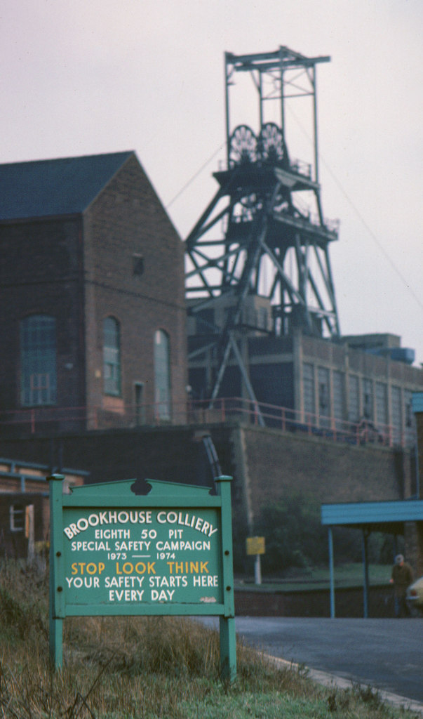
Brookhouse Colliery
Brookhouse Colliery was a coal mine within the Metropolitan Borough of Rotherham, South Yorkshire, England. It was operational between 1929 and 1985. To...

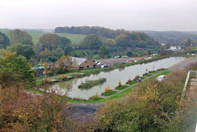
Rother Valley Country Park
The Rother Valley Country Park is a country park in the Metropolitan Borough of Rotherham, South Yorkshire, England, close to Rotherham's border with Sheffield...
Nearby Amenities
Located within 500m of 53.344902,-1.298505Have you been to Wales Bar?
Leave your review of Wales Bar below (or comments, questions and feedback).