Wales
Settlement in Somerset South Somerset
England
Wales
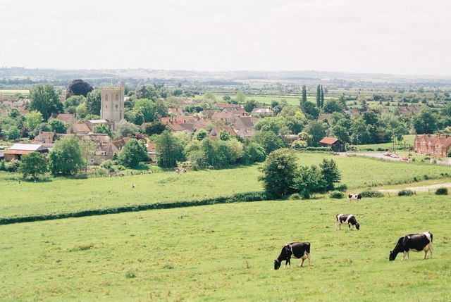
Wales, Somerset is a small village located in the county of Somerset, England. Situated in the southwestern part of the country, it is surrounded by picturesque countryside and offers a tranquil and idyllic setting for residents and visitors alike.
The village is known for its rich history, with evidence of human settlement dating back to the Neolithic period. It has also played a significant role in the industrial revolution, particularly in coal mining and ironworks. Today, remnants of these industries can still be seen in the form of preserved buildings and landmarks.
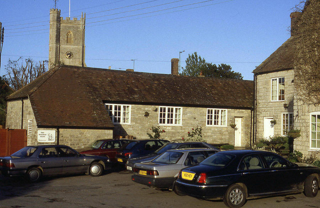
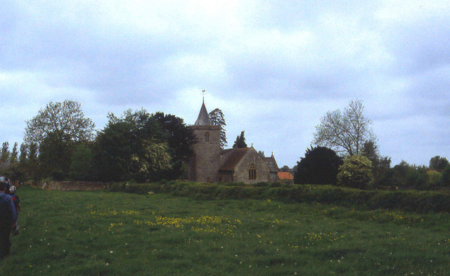
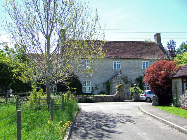
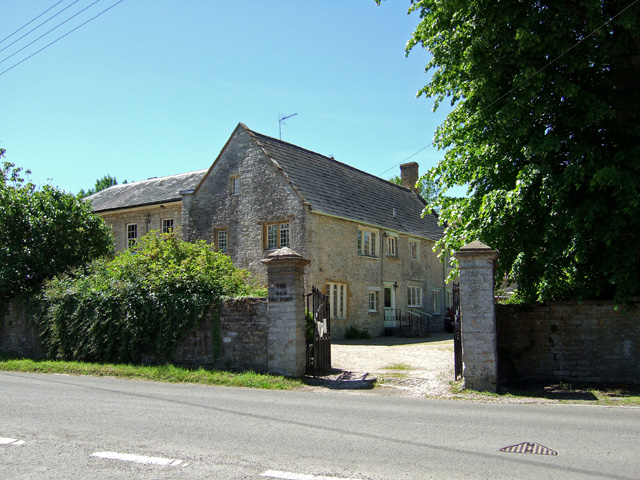
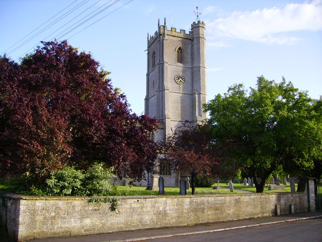
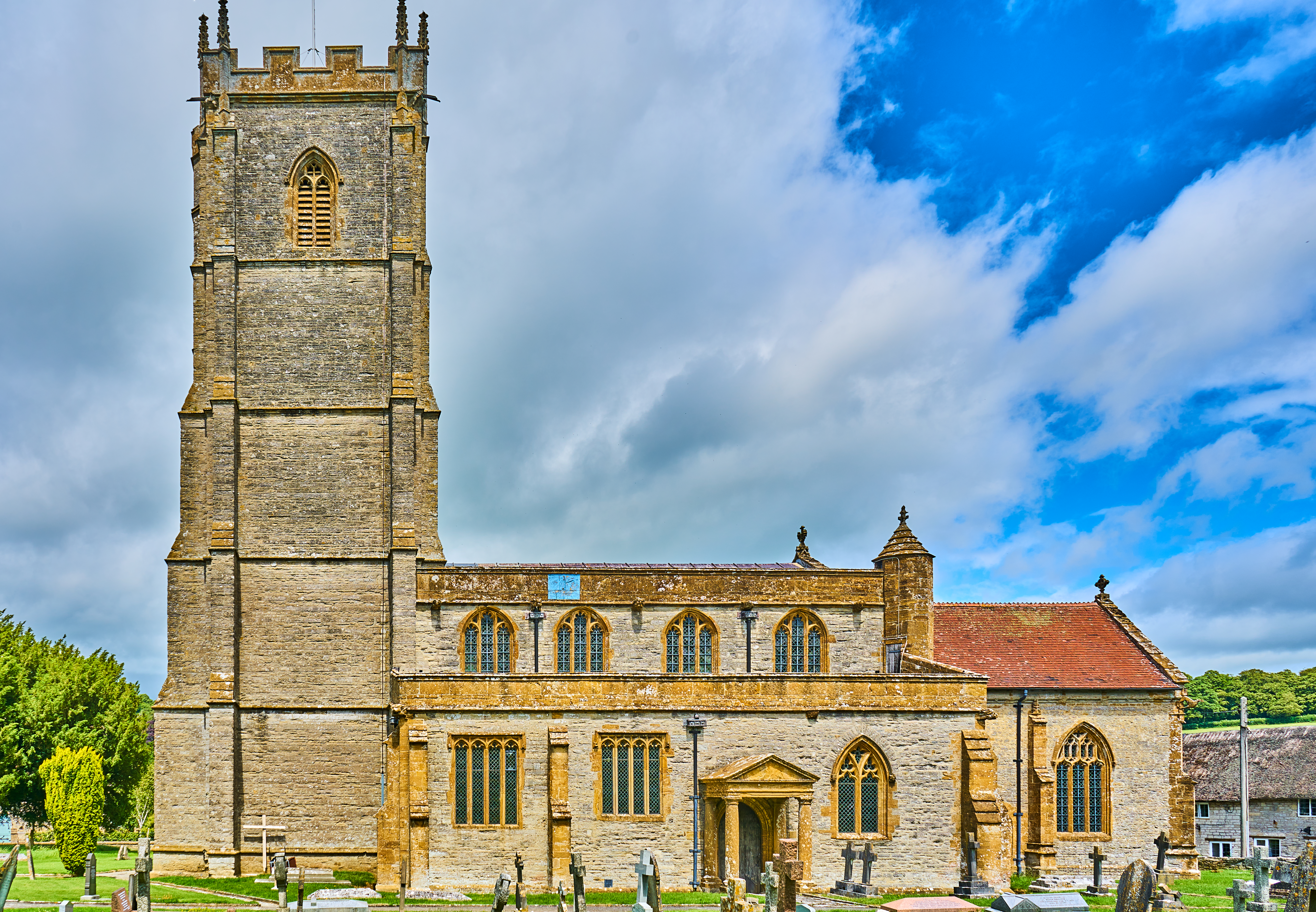
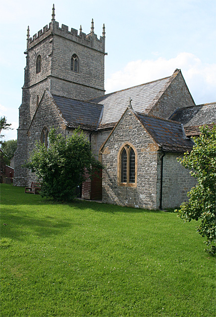
One of the main attractions in Wales, Somerset is the Wales Court Farm, a historic site that showcases traditional farming practices and offers insights into the agricultural heritage of the region. The village is also home to a quaint parish church, St. George's Church, which dates back to the 12th century and features stunning architectural details.
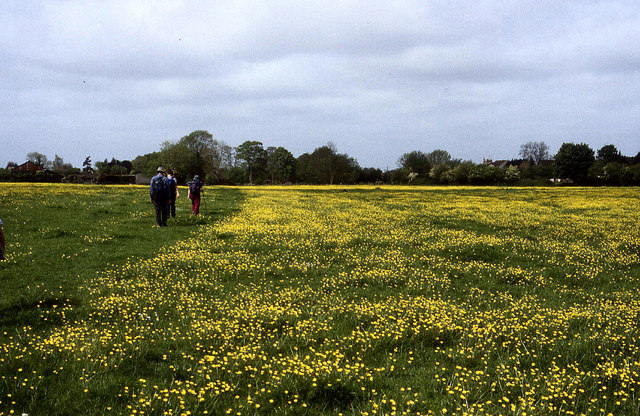
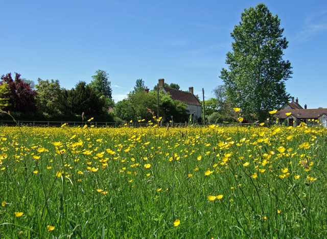
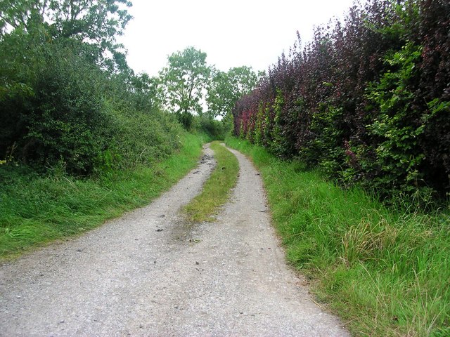
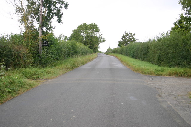
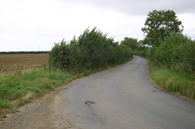
Nature enthusiasts will appreciate the surrounding countryside, which offers ample opportunities for hiking, cycling, and exploring. The nearby Mendip Hills provide breathtaking views and are a popular destination for outdoor activities.
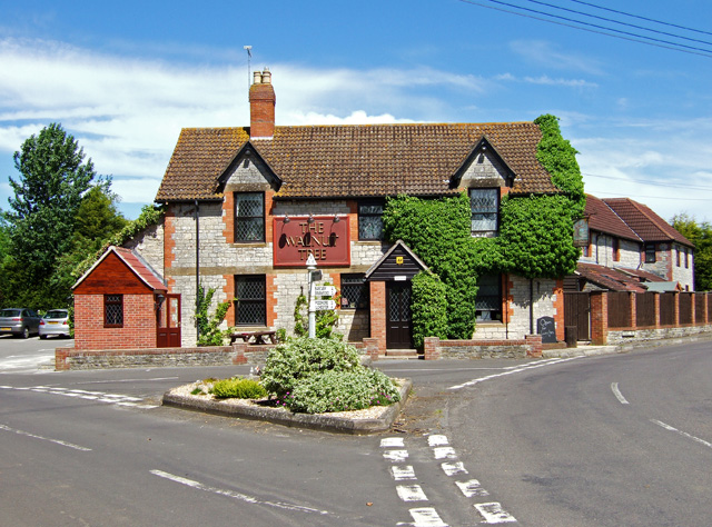
Despite its small size, Wales, Somerset boasts a vibrant community spirit, with various local events and festivals throughout the year. The village also has a range of amenities, including a village hall, a primary school, and a few local shops and pubs.
In conclusion, Wales, Somerset is a charming village that combines a rich historical heritage with natural beauty. Whether you are interested in history, outdoor activities, or simply seeking a peaceful and picturesque retreat, this village offers a delightful experience for all.
If you have any feedback on the listing, please let us know in the comments section below.
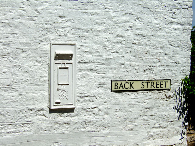
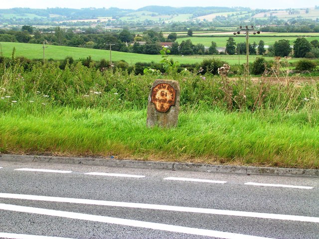
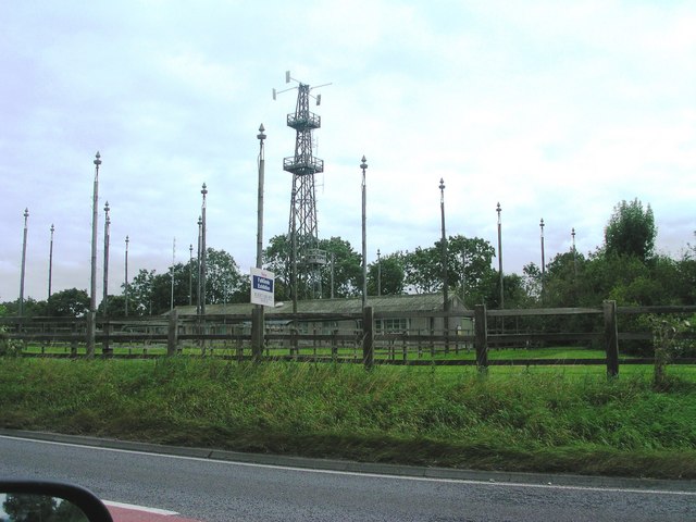
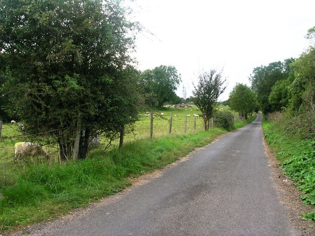
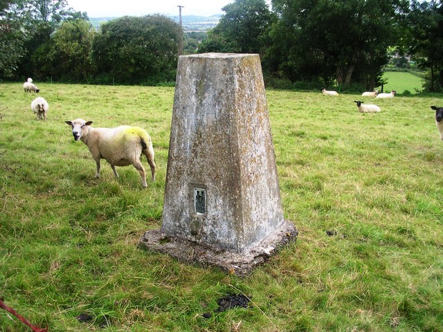
Wales Images
Images are sourced within 2km of 51.02019/-2.5901894 or Grid Reference ST5824. Thanks to Geograph Open Source API. All images are credited.
Wales is located at Grid Ref: ST5824 (Lat: 51.02019, Lng: -2.5901894)
Administrative County: Somerset
District: South Somerset
Police Authority: Avon and Somerset
What 3 Words
///glassware.help.flushes. Near Ilchester, Somerset
Nearby Locations
Related Wikis

Church of All Saints, West Camel
The Church of All Saints in West Camel, Somerset, England, dates from the late 14th century and has been designated as a Grade I listed building.There...
West Camel
West Camel is a village and civil parish in south Somerset, England, about 7 miles (11.3 km) north of the town of Yeovil. It lies either side of the River...
Queen Camel
Queen Camel is a village and civil parish, on the River Cam and the A359 road, in the unitary authority of Somerset, England. It is about 7 miles (11.3...

Church of St Barnabas, Queen Camel
The Church of St Barnabas in Queen Camel, Somerset, England was built in the 14th century and has been designated as a Grade I listed building.A former...

Camelot (ward)
Camelot is an electoral ward of South Somerset District Council in Somerset, England. It is one of the wards that makes up the parliamentary constituency...

Marston Magna
Marston Magna (also known as Broad or Great Marston) is a village and civil parish in Somerset, England, situated 5 miles (8.0 km) north of Yeovil in the...

Church of the Holy Cross, Weston Bampfylde
The Anglican Church of the Holy Cross in Weston Bampfylde, Sparkford, Somerset, England, was built in the 13th century. It is a Grade II* listed building...
Church of St Mary Magdalene, Sparkford
The Anglican Church of St Mary Magdalene in Sparkford, Somerset, England was built in the 14th century. It is a Grade II* listed building. == History... ==
Nearby Amenities
Located within 500m of 51.02019,-2.5901894Have you been to Wales?
Leave your review of Wales below (or comments, questions and feedback).