Wales Common
Wood, Forest in Yorkshire
England
Wales Common
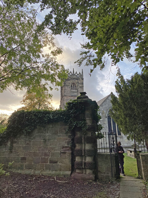
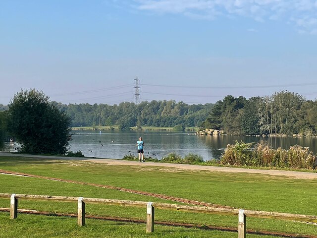
Wales Common is a picturesque woodland area located in the county of Yorkshire, England. Situated within the larger region known as the Yorkshire Dales, this woodland offers visitors a serene and tranquil setting, rich in natural beauty.
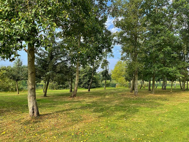
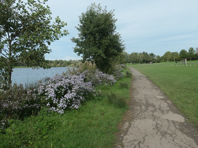
Covering a sprawling area, Wales Common is predominantly made up of dense forests, with a diverse range of tree species such as oak, beech, and birch. The woodland is known for its vibrant flora, including a variety of wildflowers that bloom throughout the year, creating a colorful tapestry of nature.
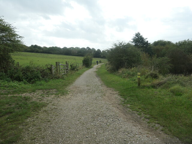
The area is intersected by several walking trails, allowing visitors to explore the woodland at their own pace. These paths offer breathtaking views of the surrounding countryside, with rolling hills and valleys in the distance. For those interested in wildlife, Wales Common is home to a plethora of animal species, including deer, foxes, and a wide variety of birdlife.
The tranquility of Wales Common makes it a popular destination for nature lovers, hikers, and photographers. Whether it is a leisurely stroll through the woods or a more challenging hike up the nearby hills, there is something for everyone to enjoy.
Additionally, there are a few picnic areas and benches scattered throughout the woodland, providing the perfect opportunity for visitors to relax and immerse themselves in the peaceful ambiance. Wales Common truly offers a delightful escape from the hustle and bustle of city life, allowing visitors to connect with nature and rejuvenate their spirits.
If you have any feedback on the listing, please let us know in the comments section below.
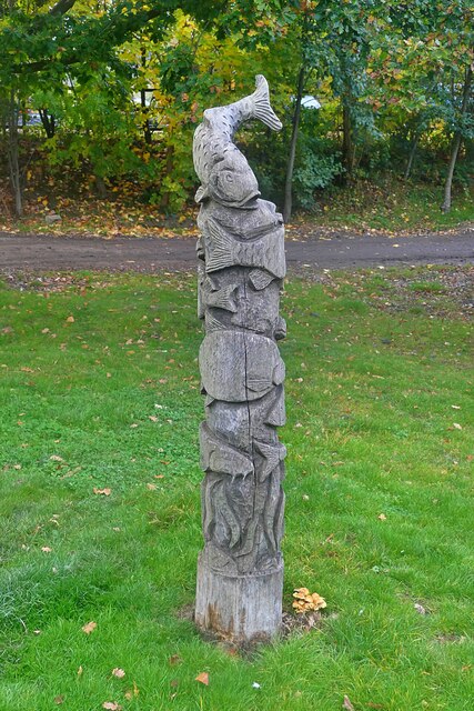
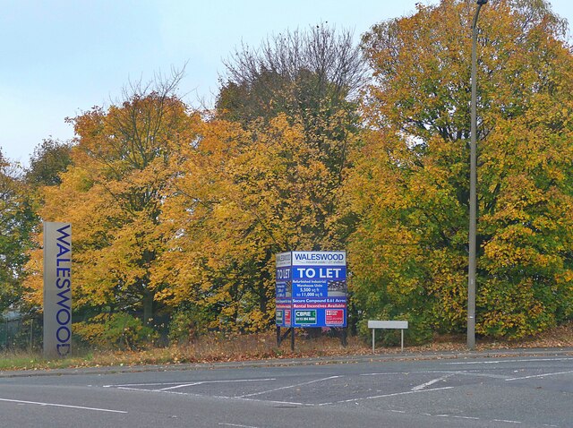
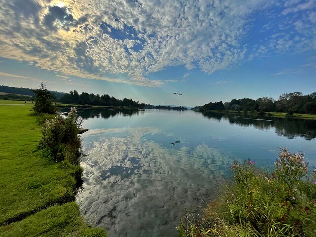
Wales Common Images
Images are sourced within 2km of 53.344704/-1.3047118 or Grid Reference SK4683. Thanks to Geograph Open Source API. All images are credited.
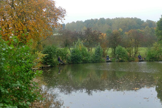
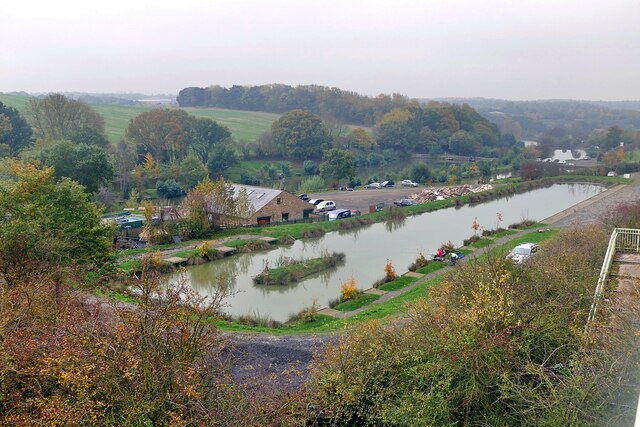

![River Rother, Rother Valley country park Looking downstream [locally north] from Pit Lane bridge. For more information and a view of the river sixteen years earlier, see <a href="https://www.geograph.org.uk/photo/539706">SK4583 : River Rother, near Waleswood</a>.](https://s1.geograph.org.uk/geophotos/07/62/10/7621001_cc33bb09.jpg)
Wales Common is located at Grid Ref: SK4683 (Lat: 53.344704, Lng: -1.3047118)
Division: West Riding
Unitary Authority: Rotherham
Police Authority: South Yorkshire
What 3 Words
///remarked.chairing.upward. Near Wales, South Yorkshire
Nearby Locations
Related Wikis

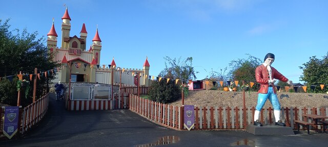
Gulliver's Valley
Gulliver's Valley is a theme park and resort located in Rotherham, England. Construction began in 2018 at a planned cost of £37 million. The first phase...
Waleswood Colliery
Waleswood Colliery was a coal mine situated between Swallownest and Wales Bar, near Rotherham, South Yorkshire, England. The colliery was adjacent to the...
Waleswood railway station
Waleswood railway station is a former railway station on the Great Central Railway's main line between Sheffield Victoria and Worksop, England. The station...

Rother Valley Country Park
The Rother Valley Country Park is a country park in the Metropolitan Borough of Rotherham, South Yorkshire, England, close to Rotherham's border with Sheffield...
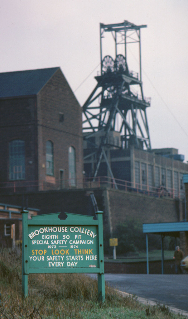
Brookhouse Colliery
Brookhouse Colliery was a coal mine within the Metropolitan Borough of Rotherham, South Yorkshire, England. It was operational between 1929 and 1985. To...
North Staveley Colliery
Aston Colliery was a small coal mine sunk on Aston Common, within Rotherham Rural District but six miles east of Sheffield in the 1840s. In 1864 its workings...

Aston, South Yorkshire
Aston is a residential village in the Metropolitan Borough of Rotherham, South Yorkshire, England. The village falls within the Holderness ward of the...
Beighton Junction
Beighton Junction is a set of railway junctions near Beighton on the border between Derbyshire and South Yorkshire, England. == Scope == The term Beighton...
Nearby Amenities
Located within 500m of 53.344704,-1.3047118Have you been to Wales Common?
Leave your review of Wales Common below (or comments, questions and feedback).