Long Plantation

Wood, Forest in Yorkshire

England

Long Plantation

Upton ROC post <span class="nowrap"><a title="https://www.subbrit.org.uk/sites/upton-roc-post/" rel="nofollow ugc noopener" href="https://www.subbrit.org.uk/sites/upton-roc-post/">Link</a><img style="margin-left:2px;" alt="External link" title="External link - shift click to open in new window" src="https://s1.geograph.org.uk/img/external.png" width="10" height="10"/></span>
Upton ROC post Credit: thejackrustles

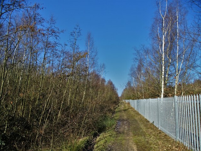
Long Plantation is a picturesque woodland located in the county of Yorkshire, England. Nestled within the heart of the region, this enchanting forest spans a sprawling area, captivating visitors with its natural beauty and serene ambience.

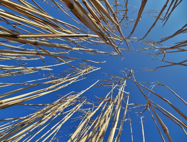
The woodland is characterized by its tall and majestic trees, predominantly oak and beech, which stretch towards the sky, forming a dense canopy that filters sunlight and creates a tranquil atmosphere below. The forest floor is adorned with a rich carpet of moss, ferns, and wildflowers, painting a vibrant tapestry of colors throughout the seasons.

Long Plantation offers a haven for a diverse range of wildlife. The forest provides a safe habitat for a variety of bird species, including woodpeckers, owls, and thrushes, which can be heard singing their melodious tunes. Squirrels scurry amongst the branches, while rabbits and deer can occasionally be spotted grazing on the forest's edge.

For outdoor enthusiasts, Long Plantation offers a plethora of activities. Well-maintained walking trails meander through the woodland, allowing visitors to explore its hidden corners and discover its hidden treasures. The forest also provides an ideal setting for picnics, where families and friends can enjoy the tranquility of nature while indulging in a leisurely lunch.

Long Plantation is a true gem of Yorkshire, offering a sanctuary of peace and natural beauty. Its idyllic landscape and diverse wildlife make it a must-visit destination for nature lovers and those seeking a respite from the bustle of everyday life.

If you have any feedback on the listing, please let us know in the comments section below.

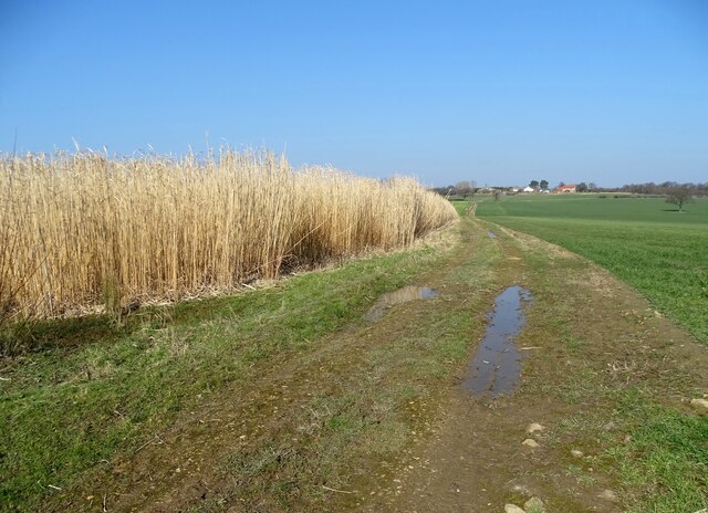
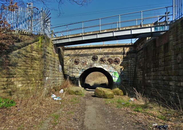
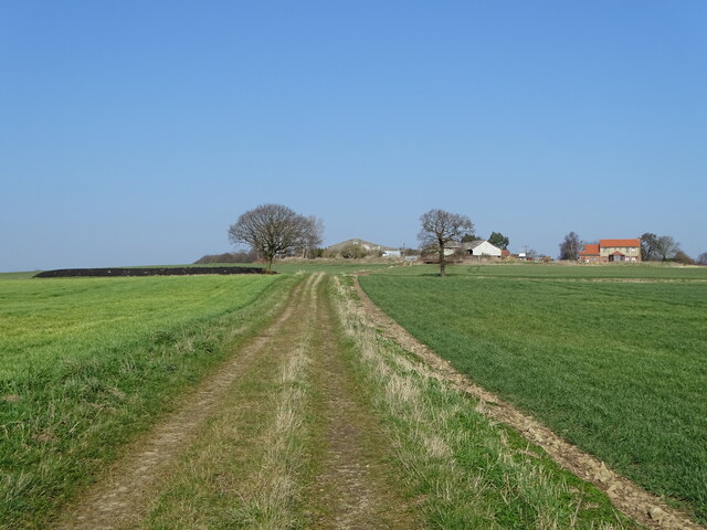
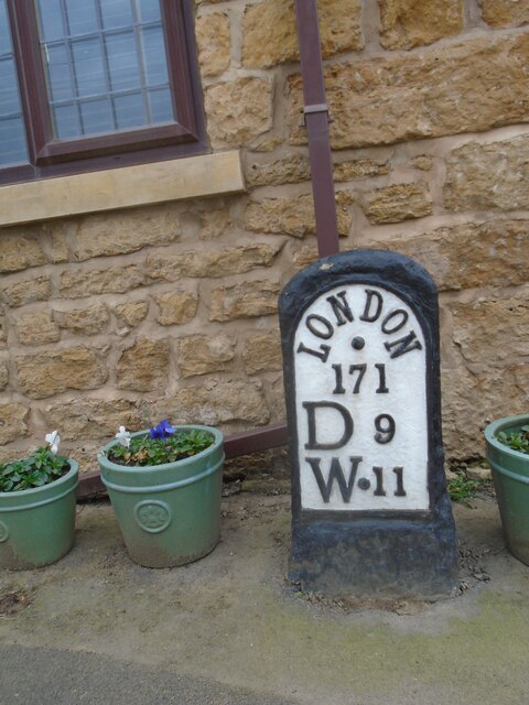
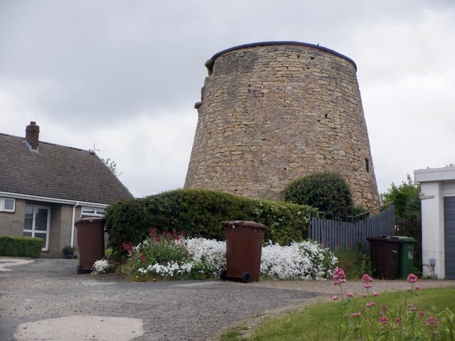
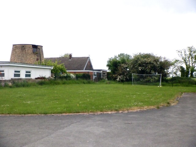
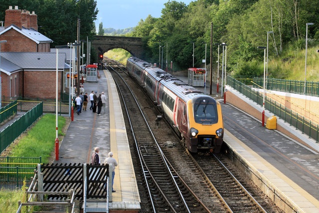
Long Plantation Images

Images are sourced within 2km of 53.613321/-1.300187 or Grid Reference SE4613. Thanks to Geograph Open Source API. All images are credited.

Upton ROC post <span class="nowrap"><a title="https://www.subbrit.org.uk/sites/upton-roc-post/" rel="nofollow ugc noopener" href="https://www.subbrit.org.uk/sites/upton-roc-post/">Link</a><img style="margin-left:2px;" alt="External link" title="External link - shift click to open in new window" src="https://s1.geograph.org.uk/img/external.png" width="10" height="10"/></span>
Upton ROC post
Upton Water Tower <span class="nowrap"><a title="http://trigpointing.uk/trig/13053" rel="nofollow ugc noopener" href="http://trigpointing.uk/trig/13053">Link</a><img style="margin-left:2px;" alt="External link" title="External link - shift click to open in new window" src="https://s1.geograph.org.uk/img/external.png" width="10" height="10"/></span>
Upton Water Tower
Upton Beacon Connecting Point Trig Point Flush Bracket S1743
Track by the railway at Mutton Flatts
Is it Art? Graffiti "art" on a concrete block by a service bridge over the railway at Mutton Flatts. Echoes of the Bullingdon Club at Oxford? Perhaps.
Is it Art?
Graffiti "art" on a concrete block by a service bridge over the railway at Mutton Flatts. Echoes of the Bullingdon Club at Oxford? Perhaps.
In a bamboo field south of Royd Moor Only sky above us.
In a bamboo field south of Royd Moor
Only sky above us.
Bamboo grove with Royd Moor Farm ahead
The farmhouse, Royd Moor Farm
Railway bridge north of South Kirkby
On the track to Royd Moor Farm
Railway line passing over Sprockhoevel Way The town of Sprockhoevel in North Rhine-Westphalia, Germany is twinned with nearby South Kirkby
Railway line passing over Sprockhoevel Way
The town of Sprockhoevel in North Rhine-Westphalia, Germany is twinned with nearby South Kirkby
Old milestone This is one of three remaining plated milestones on the 11.7 mile Red House (northern end of A1(M) Doncaster By-pass) to Crofton (east of Wakefield) turnpike first enacted in 1741.   The village of North Elmsall has been by-passed twice.   The milestone, standing at Milestone House on Hall Lane is well-cared for.  It is Grade II listed 1265112.
Old milestone
This is one of three remaining plated milestones on the 11.7 mile Red House (northern end of A1(M) Doncaster By-pass) to Crofton (east of Wakefield) turnpike first enacted in 1741. The village of North Elmsall has been by-passed twice. The milestone, standing at Milestone House on Hall Lane is well-cared for. It is Grade II listed 1265112.
Old milestone One of the three remaining plated milestones from the 11.7 miles Red House (north of Doncaster) to Crofton (east of Wakefield) tollroad first enacted in 1741.  Although difficult to spot in summer as it is down a banking it is behind a British Telecom cover in the verge.  When first found several years  ago there was a crack in the top of the stone but it was repaired with cement and painted black.   Now the lettering needs sprucing up.  W 9 is below D 11.  The plate is held on by two rivets.
Old milestone
One of the three remaining plated milestones from the 11.7 miles Red House (north of Doncaster) to Crofton (east of Wakefield) tollroad first enacted in 1741. Although difficult to spot in summer as it is down a banking it is behind a British Telecom cover in the verge. When first found several years ago there was a crack in the top of the stone but it was repaired with cement and painted black. Now the lettering needs sprucing up. W 9 is below D 11. The plate is held on by two rivets.
Old milestone The position of the milestone in relation to the British Telecom cover and the hill down and under the railway bridge.   The hill down Doncaster Road towards Ackworth is steeper than it looks in this photograph.
Old milestone
The position of the milestone in relation to the British Telecom cover and the hill down and under the railway bridge. The hill down Doncaster Road towards Ackworth is steeper than it looks in this photograph.
Upper Beacon, Upton
Upper Beacon, Upton
Beacon Hill, Upton The road to the water tower.
Beacon Hill, Upton
The road to the water tower.
Upton Tower Mill A windmill on Beacon Hill.
Upton Tower Mill
A windmill on Beacon Hill.
Summit area, Beacon Hill Between the water tower and ruined windmill. A nearby triangulation pillar has been removed to a nearby garden.
Summit area, Beacon Hill
Between the water tower and ruined windmill. A nearby triangulation pillar has been removed to a nearby garden.
Show me another place!

Long Plantation is located at Grid Ref: SE4613 (Lat: 53.613321, Lng: -1.300187)

Division: West Riding

Unitary Authority: Wakefield

Police Authority: West Yorkshire

What 3 Words

///bungalows.fixed.brass. Near Upton, West Yorkshire

Nearby Locations

Long Plantation

Related Wikis

Badsworth

Badsworth is a village and civil parish in the City of Wakefield metropolitan borough in West Yorkshire, England. According to the 2001 census it had a...

Upton and North Elmsall railway station

Upton and North Elmsall railway station, was a railway station on the Hull and Barnsley Railway (H&B) in Yorkshire, England. The station served the villages...

Upton, West Yorkshire

Upton is a village and civil parish in West Yorkshire, England. It had a population of 3,541 in the 2001 census.It is situated south of Badsworth and...

North Elmsall

North Elmsall ( EM-səl) is a village and civil parish in the City of Wakefield district in West Yorkshire, England. It had a population of 4,093 in 2001...

Minsthorpe Community College

Minsthorpe Community College is a coeducational secondary school with academy status in South Elmsall, West Yorkshire, England. It is specifically for...

Upton Colliery

Upton Colliery was a coal mine near to the village of Upton in the West Riding of Yorkshire, England. The site was 8.5 miles (13.7 km) north west of Doncaster...

Moorthorpe

Moorthorpe is a village in the civil parish of South Kirkby and Moorthorpe in the City of Wakefield district of West Yorkshire, England. It is governed...

Moorthorpe railway station

Moorthorpe railway station serves the village of Moorthorpe and town of South Kirkby in West Yorkshire, England. It lies on the Wakefield Line and the...

Nearby Amenities

Located within 500m of 53.613321,-1.300187
Turning Circle
Lat/Long: 53.6130304/-1.2933942
Turning Circle
Lat/Long: 53.6133822/-1.2943624
Design: barrel
Power: tower
Lat/Long: 53.6100309/-1.2969866
Design: barrel
Power: tower
Lat/Long: 53.6100673/-1.3020985
Dolcee's Donuts
Addr City: Pontefract
Addr Housename: Gwent View
Addr Postcode: WF9 1EB
Addr Street: Doncaster Road
Addr Suburb: Upton
Addr Town: Pontefract
Addr Unit: 8
Craft: caterer
Fhrs Id: 1030807
Lat/Long: 53.6148579/-1.296604
Candy Floss Crazy
Addr City: Pontefract
Addr Housename: Fairview House
Addr Postcode: WF9 1EB
Addr Street: Doncaster Road
Addr Suburb: Upton
Addr Town: Pontefract
Craft: caterer
Fhrs Id: 284693
Lat/Long: 53.6143933/-1.2967367
Generator Method: photovoltaic
Generator Output Electricity: yes
Generator Source: solar
Generator Type: solar_photovoltaic_panel
Location: roof
Power: generator
Lat/Long: 53.6154371/-1.2935168
The data included in this document is from www.openstreetmap.org. The data is made available under ODbL.

Have you been to Long Plantation?

Leave your review of Long Plantation below (or comments, questions and feedback).