Wales End
Settlement in Suffolk West Suffolk
England
Wales End
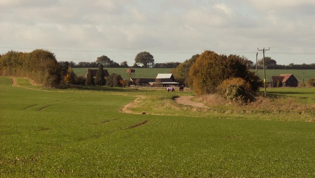
Wales End is a small village located in the county of Suffolk, England. Situated in the eastern part of the country, it is part of the Mid Suffolk district. Despite its size, Wales End boasts a rich history and offers a peaceful and picturesque setting for its residents.
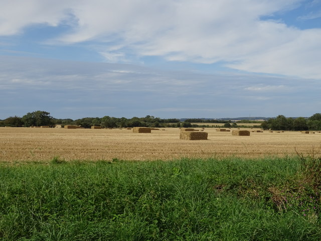
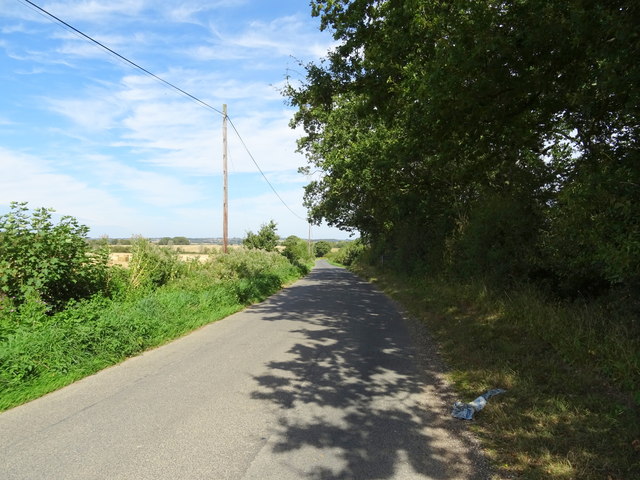
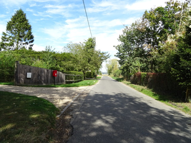
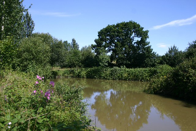
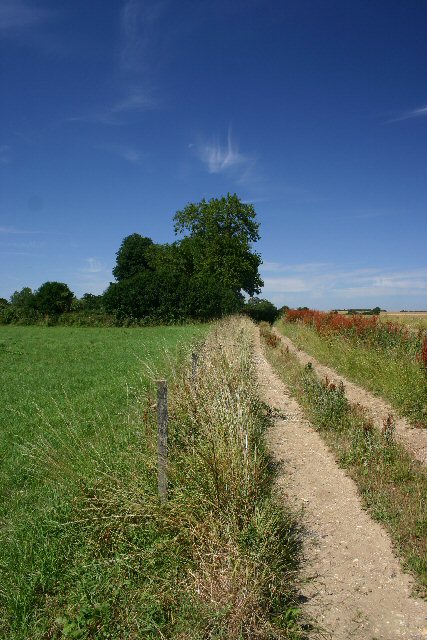
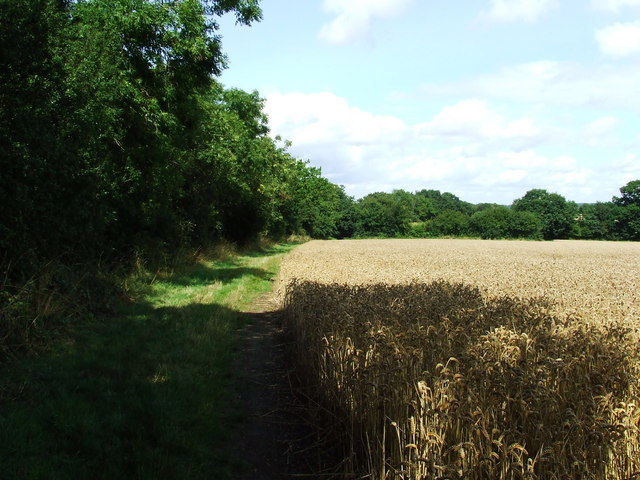
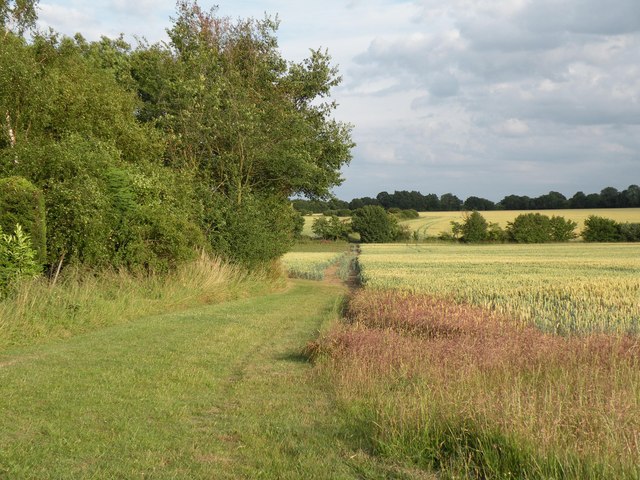
The village is surrounded by vast stretches of lush green fields and rolling countryside, making it an ideal place for nature enthusiasts and those seeking a quiet rural lifestyle. The area is known for its scenic beauty, with charming footpaths and bridleways that allow visitors to explore the stunning countryside.
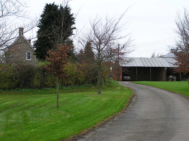
Although Wales End is primarily a residential area, there are a few amenities available for its residents. A local pub can be found in the village, providing a place to socialize and enjoy a pint after a long day. Additionally, the nearby town of Stowmarket offers a wider range of services and amenities, including shops, schools, and healthcare facilities.
Wales End is well-connected to the surrounding areas, with good transport links. The A14 road is easily accessible, providing convenient access to major cities such as Ipswich and Cambridge. The village also benefits from a railway station in Stowmarket, allowing residents to travel further afield.
Overall, Wales End is a tranquil and idyllic village, perfect for those looking to escape the hustle and bustle of city life. Its natural beauty, coupled with its convenient location, makes it an attractive place to live for both families and retirees alike.
If you have any feedback on the listing, please let us know in the comments section below.
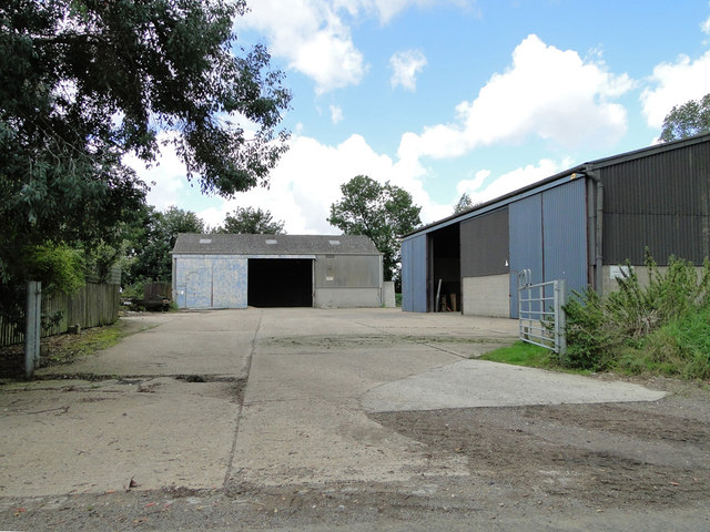
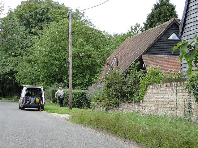
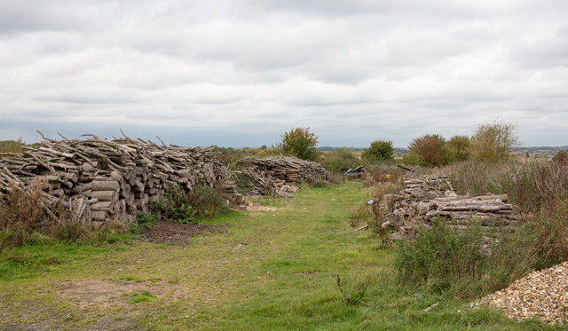
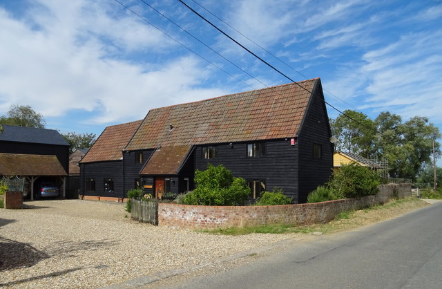
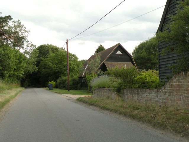
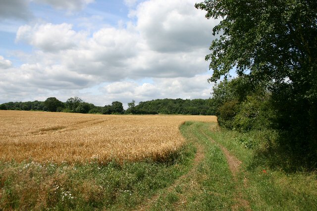
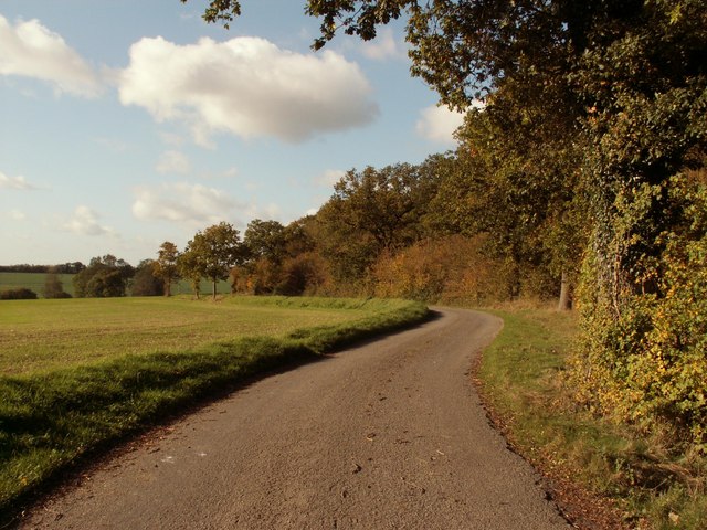
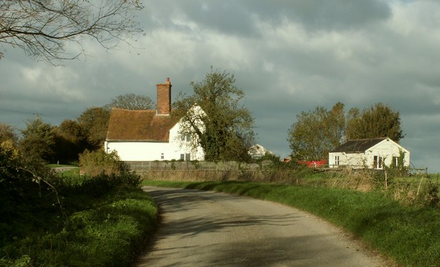
Wales End Images
Images are sourced within 2km of 52.110353/0.61257052 or Grid Reference TL7949. Thanks to Geograph Open Source API. All images are credited.
Wales End is located at Grid Ref: TL7949 (Lat: 52.110353, Lng: 0.61257052)
Administrative County: Suffolk
District: West Suffolk
Police Authority: Suffolk
What 3 Words
///candy.arranger.radiated. Near Glemsford, Suffolk
Nearby Locations
Related Wikis

Cavendish Woods
Cavendish Woods is a 53.5-hectare (132-acre) biological Site of Special Scientific Interest north-west of Glemsford in Suffolk.These ancient woods are...

Colt's Hall, Cavendish
Colt's Hall is an old manor house in Cavendish, Suffolk, England. It is a Grade II listed building. == Queen Elizabeth's visit == In this house George...
Risbridge Hundred
Risbridge is a hundred of Suffolk, consisting of 58,468 acres (236.61 km2).Risbridge Hundred forms the south western corner of Suffolk extending 15 miles...

Poslingford
Poslingford is a village and civil parish in the West Suffolk district of Suffolk in eastern England, near to a stream that feeds the into the Chilton...

Chipley Priory
Chipley Priory was a small Augustine religious house, dedicated to the Blessed Virgin, located about 1 mile (2 km) north-west of the village of Poslingford...

St Mary the Virgin's Church, Cavendish
St Mary the Virgin's Church, Cavendish is a Grade I listed parish church in the Church of England in Cavendish, Suffolk. == History == A Saxon church at...

Cavendish, Suffolk
Cavendish is a village and civil parish in the Stour Valley in Suffolk, England. == Toponymy == Toponymists agree that Cavendish is called so because a...

Stansfield
Stansfield is a village and civil parish in the West Suffolk district of Suffolk in eastern England. Located seven miles south-west of Bury St Edmunds...
Have you been to Wales End?
Leave your review of Wales End below (or comments, questions and feedback).