Walesby
Settlement in Nottinghamshire Newark and Sherwood
England
Walesby
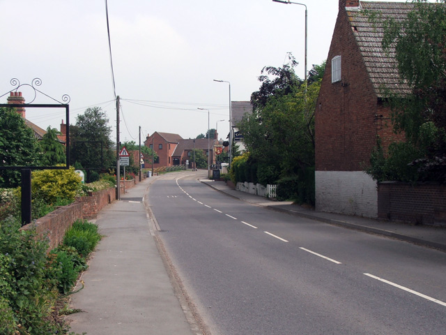
Walesby is a small village located in the district of Newark and Sherwood, Nottinghamshire, England. It is situated on the eastern edge of Sherwood Forest, approximately 12 miles north of the city of Nottingham. With a population of around 900 residents, Walesby is a close-knit community known for its peaceful atmosphere and natural beauty.
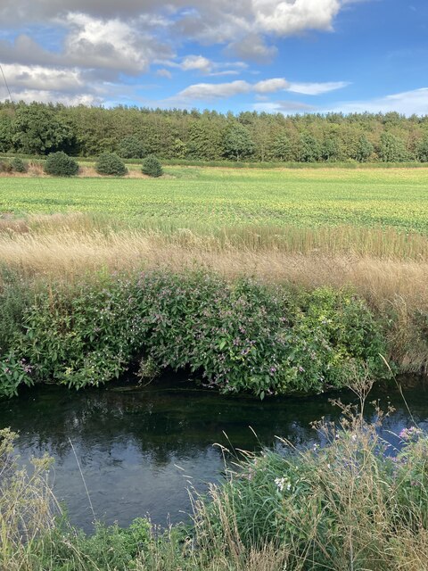
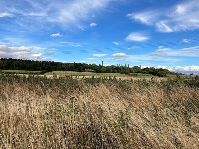
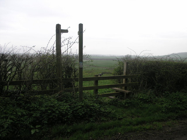
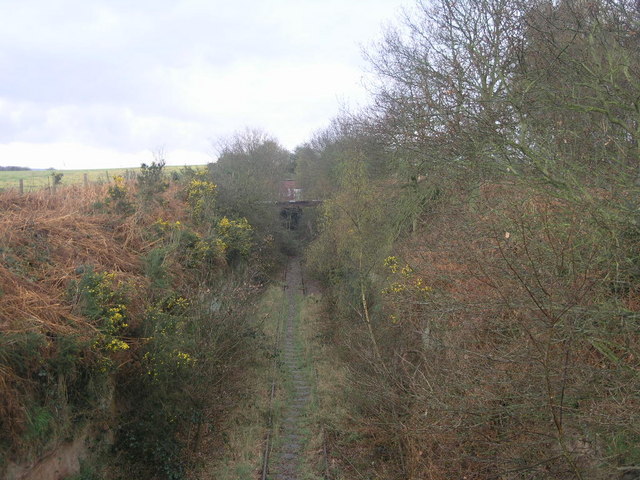
The village is surrounded by picturesque countryside, offering stunning views of rolling hills and lush green fields. It is an ideal destination for nature lovers and outdoor enthusiasts, with several walking and cycling routes in the vicinity. The nearby Sherwood Forest provides opportunities for exploring ancient woodlands and discovering the legendary Major Oak, which is said to be over 800 years old.
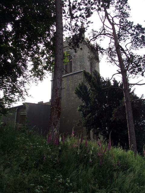
Walesby has a rich history that can be traced back to the Domesday Book of 1086. The village is home to a 13th-century parish church, St. Mary Magdalene, which is a notable architectural landmark. The church features beautiful stained glass windows and a tall spire, making it a prominent sight in the village.
In terms of amenities, Walesby has a community center, a primary school, and a village hall, which serves as a hub for various social events and gatherings. There is also a local pub, The Black Horse Inn, where villagers and visitors can enjoy a drink and sample traditional British cuisine.
Overall, Walesby offers a charming rural lifestyle and a strong sense of community, making it an appealing destination for those seeking a tranquil and idyllic setting in the heart of Nottinghamshire.
If you have any feedback on the listing, please let us know in the comments section below.
Walesby Images
Images are sourced within 2km of 53.227925/-0.9803727 or Grid Reference SK6870. Thanks to Geograph Open Source API. All images are credited.


Walesby is located at Grid Ref: SK6870 (Lat: 53.227925, Lng: -0.9803727)
Administrative County: Nottinghamshire
District: Newark and Sherwood
Police Authority: Nottinghamshire
What 3 Words
///unless.surfer.skewing. Near Boughton, Nottinghamshire
Related Wikis

Walesby, Nottinghamshire
Walesby is a village and civil parish in Nottinghamshire, England. At the time of the 2001 census it had a population of 1,255 people, increasing slightly...
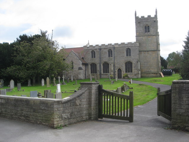
St Edmund's Church, Walesby
St Edmund's Church, Walesby is a Grade II* listed parish church in the Church of England in Walesby, Nottinghamshire. == History == The church was built...

Kirton, Nottinghamshire
Kirton is a village in Nottinghamshire, England. It is located 3 miles (4.8 km) east of Ollerton. According to the United Kingdom Census 2001 it had a...
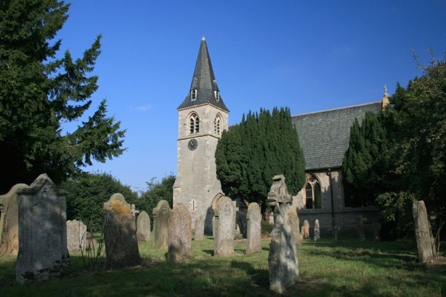
Holy Trinity Church, Kirton
Holy Trinity Church, Kirton is a Grade II* listed parish church in the Church of England in Kirton, Nottinghamshire. == History == The church dates from...

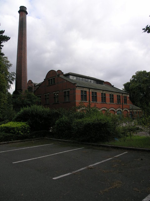
Boughton Pumping Station
Boughton Pumping Station was a water pumping station near New Ollerton in Nottinghamshire, operating from 1905. After closure it became a commercial hospitality...
St Matthew's Church, Boughton
St Matthew's Church, Boughton is a Grade II listed parish church in the Church of England in Boughton, Nottinghamshire. == History == The church dates...

Haughton, Nottinghamshire
Haughton is a hamlet in the English county of Nottinghamshire. Haughton lies on the south bank of the River Maun about one mile south west from Bothamsall...
Haughton Hall, Nottinghamshire
Haughton Hall was an English country house near Haughton, Nottinghamshire. == History == Houghton Hall was built by William Holles and his son William...
Nearby Amenities
Located within 500m of 53.227925,-0.9803727Have you been to Walesby?
Leave your review of Walesby below (or comments, questions and feedback).