Walesby

Settlement in Lincolnshire West Lindsey

England

Walesby

Entrance to farm buildings The only buildings in this square
Entrance to farm buildings Credit: David Brown

Walesby is a charming village located in the county of Lincolnshire, England. Situated about 13 miles north of the city of Lincoln, it is nestled amidst picturesque countryside, offering residents and visitors a tranquil and idyllic setting.

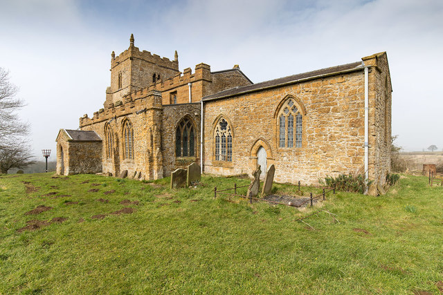
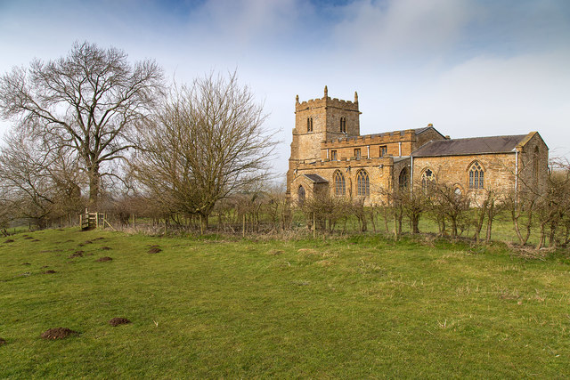
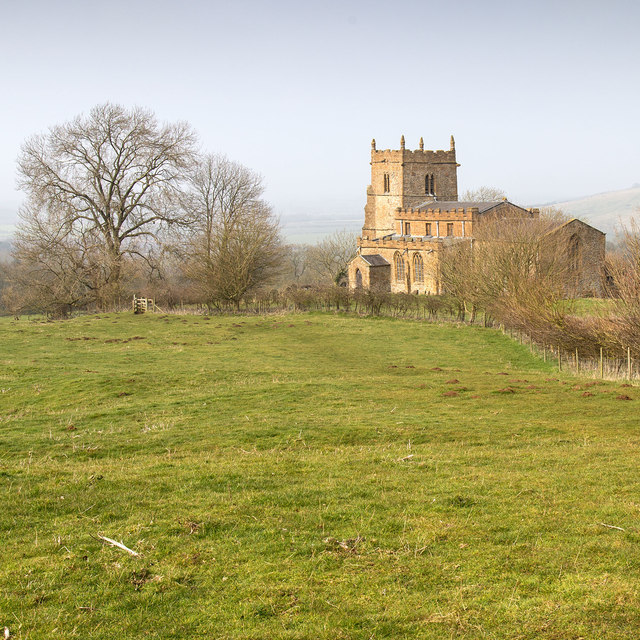
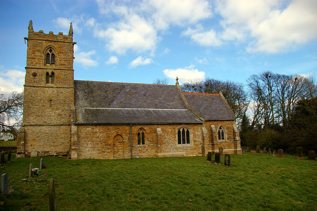
The village is rich in history, with evidence of human habitation dating back to the Roman era. It is home to the magnificent All Saints' Church, a Grade I listed building that dates back to the 12th century. The church showcases stunning architectural features, including a Norman tower and intricate stained glass windows.

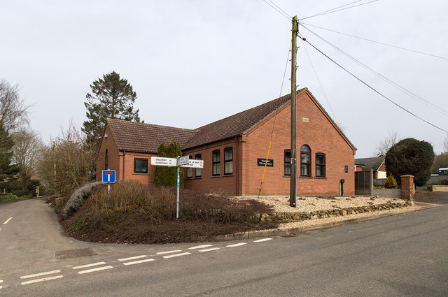
Walesby is a close-knit community with a population of around 400 people. The village boasts a friendly and welcoming atmosphere, with a strong sense of community spirit. Residents take pride in maintaining the village's beauty, evident in the well-kept gardens and charming cottages that line its streets.

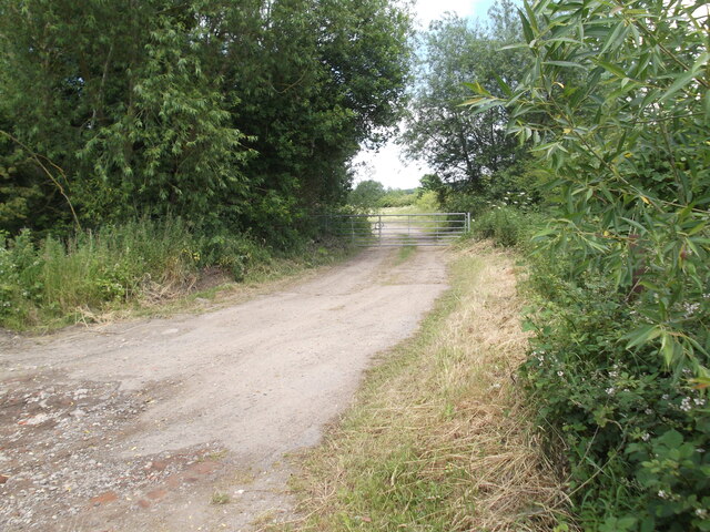
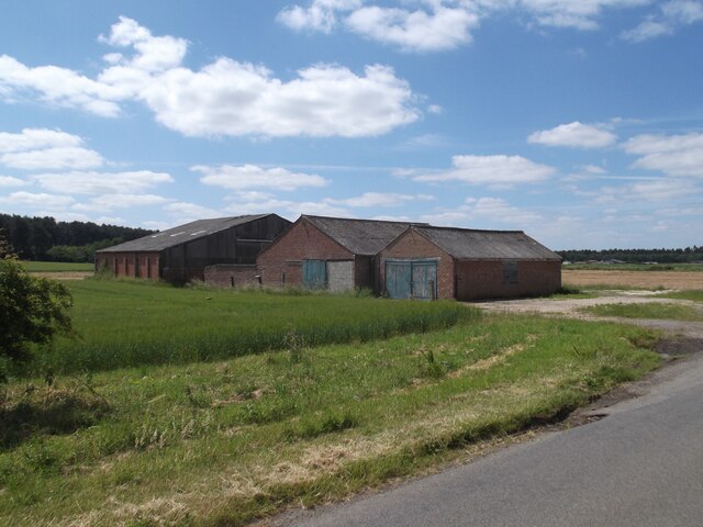
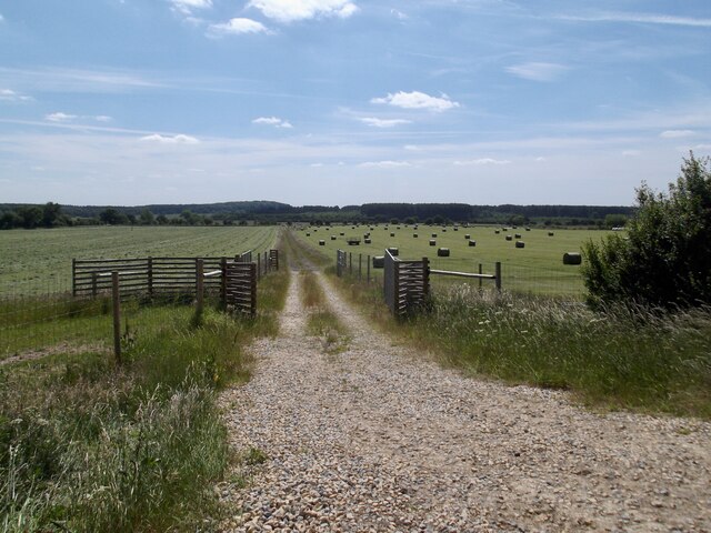
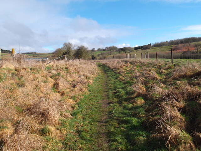
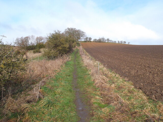
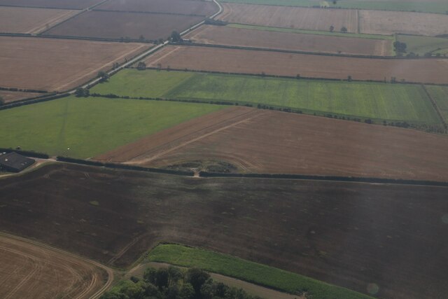
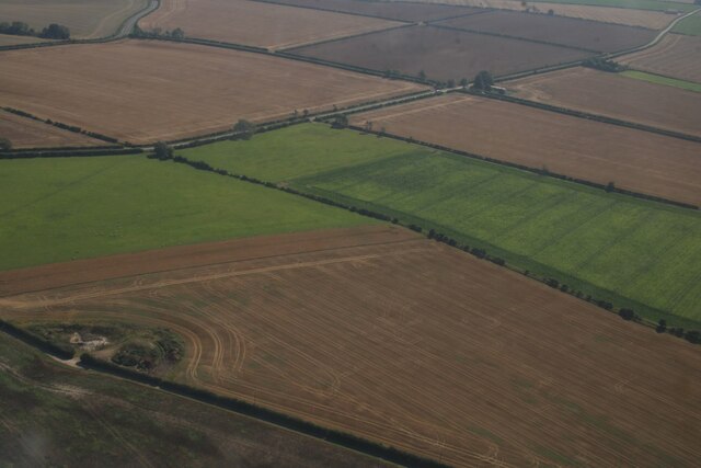
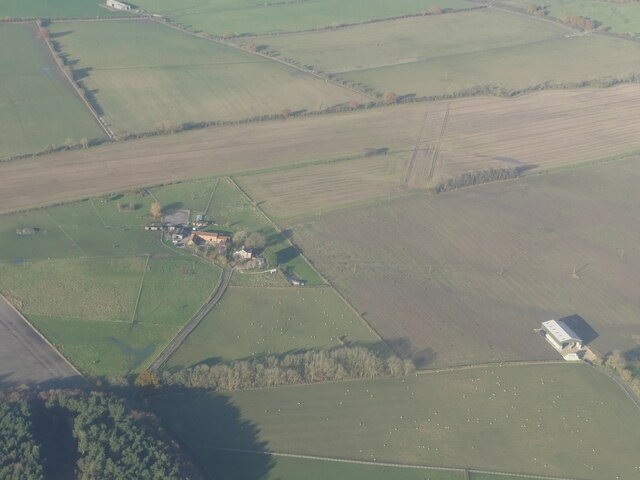
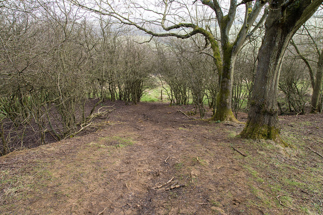
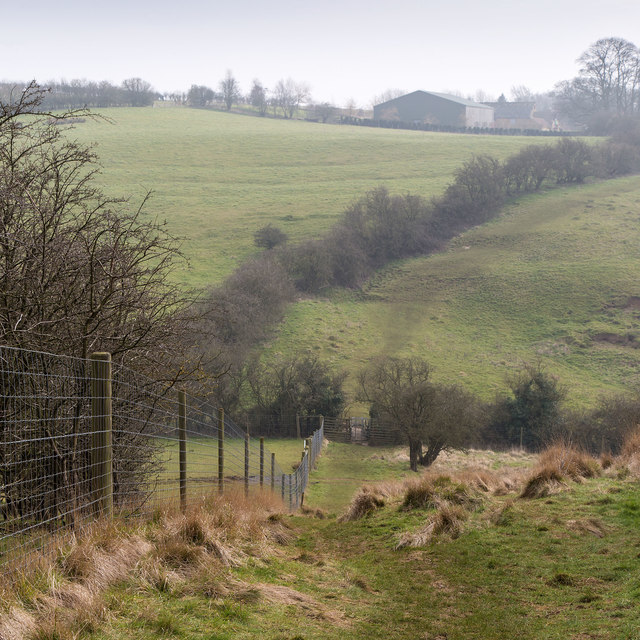
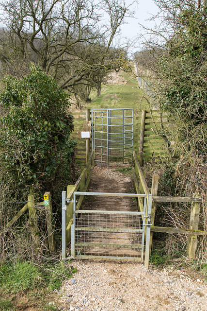
For outdoor enthusiasts, Walesby offers ample opportunities to explore the surrounding natural beauty. The area is dotted with scenic walking and cycling trails, allowing visitors to immerse themselves in the stunning Lincolnshire countryside. Nearby attractions, such as the Lincolnshire Wolds Area of Outstanding Natural Beauty and the Viking Way footpath, provide further options for outdoor adventures.

Despite its peaceful ambiance, Walesby is well-connected to nearby towns and cities. The bustling market town of Market Rasen is just a short drive away, offering a range of amenities, including shops, restaurants, and leisure facilities.

In summary, Walesby, Lincolnshire, is a picturesque village with a rich history and an abundance of natural beauty. Its friendly community and proximity to amenities make it an ideal place to live or visit for those seeking a tranquil and idyllic setting.

If you have any feedback on the listing, please let us know in the comments section below.

Walesby Images

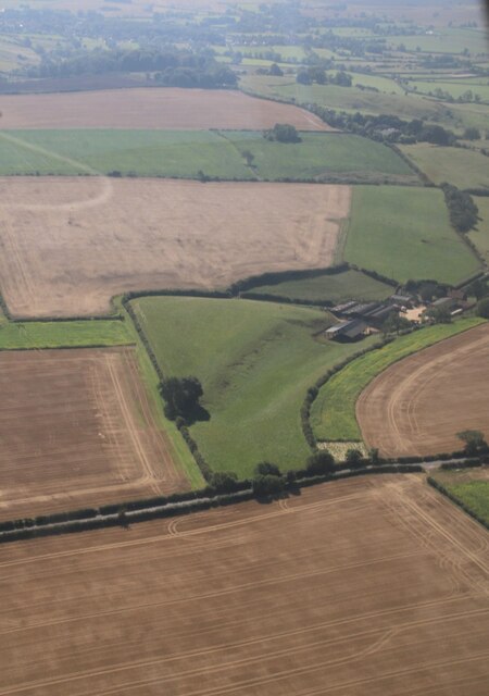
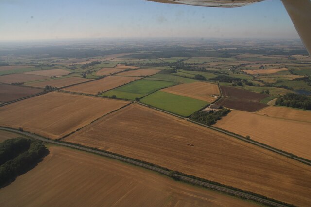
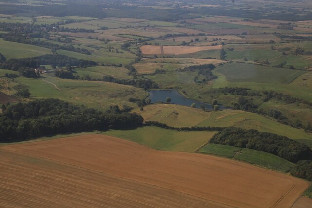
Images are sourced within 2km of 53.416068/-0.29549818 or Grid Reference TF1392. Thanks to Geograph Open Source API. All images are credited.

Entrance to farm buildings The only buildings in this square
Entrance to farm buildings
The only buildings in this square
Farm buildings by Moor Road
Making hay while the sun shines
Footpath to Otby
Footpath to Otby
Path climbing up Normanby Wold
Walesby Top: aerial 2023
Otby: aerial 2023 (1)
Otby: aerial 2023 (2)
Possible chalk pit near Otby: aerial 2023 (1)
Possible chalk pit near Otby: aerial 2023 (2)
Risby Moor, near Tealby: aerial 2023
Village Hall, Walesby There is a very small car park behind the village hall with information boards for ramblers.
Village Hall, Walesby
There is a very small car park behind the village hall with information boards for ramblers.
The Ramblers' Church, Walesby The south side of the church on the Viking Way, also known as All Saints.
The Ramblers' Church, Walesby
The south side of the church on the Viking Way, also known as All Saints.
The Ramblers' Church, Walesby The south side of the church on the Viking Way, also known as All Saints.
The Ramblers' Church, Walesby
The south side of the church on the Viking Way, also known as All Saints.
The Ramblers' Church, Walesby The south side of the church on the Viking Way, also known as All Saints.
The Ramblers' Church, Walesby
The south side of the church on the Viking Way, also known as All Saints.
Viking Way descends through wood The Viking Way descends through the edge of a small wood. The going is quite muddy and slippery.
Viking Way descends through wood
The Viking Way descends through the edge of a small wood. The going is quite muddy and slippery.
Viking Way The Viking Way descends into a small valley with a high deer fence on the left.
Viking Way
The Viking Way descends into a small valley with a high deer fence on the left.
Obstacles on the Viking Way A gate, a footbridge and a high deer proof kissing gate, face walkers on this section of the Viking Way.
Obstacles on the Viking Way
A gate, a footbridge and a high deer proof kissing gate, face walkers on this section of the Viking Way.
Show me another place!

Walesby is located at Grid Ref: TF1392 (Lat: 53.416068, Lng: -0.29549818)

Division: Parts of Lindsey

Administrative County: Lincolnshire

District: West Lindsey

Police Authority: Lincolnshire

What 3 Words

///drama.drag.winemaker. Near Market Rasen, Lincolnshire

Nearby Locations

Walesby

Related Wikis

Walesby, Lincolnshire

Walesby is a village and civil parish in the West Lindsey district of Lincolnshire, England. The population of the civil parish at the 2011 census was...

Tealby

Tealby is a village and civil parish in the West Lindsey district of Lincolnshire, England, situated on the edge of the Lincolnshire Wolds and 3 miles...

2008 Market Rasen earthquake

On 27 February 2008 at 00:56:47.8s GMT an earthquake occurred at Market Rasen, Lincolnshire. According to the British Geological Survey the earthquake...

Normanby le Wold

Normanby le Wold is a village and civil parish in the West Lindsey district of Lincolnshire, England. It is in the Lincolnshire Wolds, an Area of Outstanding...

Claxby and Usselby railway station

Claxby and Usselby railway station was a station that served the hamlets of Claxby and Usselby in Lincolnshire, England. It was opened in 1848 on a branch...

Claxby by Normanby

Claxby, or Claxby by Normanby, is a village and civil parish in the West Lindsey district of Lincolnshire, England. The population of the civil parish...

Parts of Lindsey

The Parts of Lindsey are a traditional division of Lincolnshire, England, covering the northern part of the county. The Isle of Axholme, which is on the...

Usselby

Usselby is a hamlet in civil parish of Osgodby, in the West Lindsey district of Lincolnshire, England. It is approximately 3 miles (5 km) north-west from...

Nearby Amenities

Located within 500m of 53.416068,-0.29549818
Walesby
Is In: Lincolnshire, England, UK
Place: village
Source: NPE
Wikidata: Q2207906
Lat/Long: 53.4162893/-0.2950299
Bus Stop
Catskin Lane
Naptan AtcoCode: 2700LW004853
Naptan Bearing: SW
Naptan CommonName: Catskin Lane
Naptan Indicator: opp
Naptan Landmark: Catskin Lane
Naptan NaptanCode: lindpapj
Naptan Street: Rasen Road
Naptan Verified: no
Source: naptan_import
Lat/Long: 53.4145103/-0.2986508
Bus Stop
St Mary's Church
Naptan AtcoCode: 2700LWC00331
Naptan Bearing: NE
Naptan CommonName: St Mary's Church
Naptan Indicator: adj
Naptan Landmark: St Mary's Church
Naptan NaptanCode: linadmaw
Naptan Street: Rasen Road
Naptan Verified: no
Source: naptan_import
Lat/Long: 53.4152802/-0.2965285
Post Box
Post Box Type: lamp
Ref: LN8 186
Source: survey
Lat/Long: 53.415459/-0.2960899
Archaeological Site: fortification
Historic: archaeological_site
Source: Bing
Lat/Long: 53.4165375/-0.2945425
Village Pump
Lat/Long: 53.4161845/-0.2952737
Cliff House
Place: isolated_dwelling
Lat/Long: 53.4126186/-0.2924584
Generator Method: photovoltaic
Generator Output Electricity: yes
Generator Source: solar
Generator Type: solar_photovoltaic_panel
Location: roof
Power: generator
Lat/Long: 53.4163136/-0.2989054
Generator Method: photovoltaic
Generator Output Electricity: yes
Generator Source: solar
Generator Type: solar_photovoltaic_panel
Location: roof
Power: generator
Lat/Long: 53.416328/-0.2988142
Generator Method: photovoltaic
Generator Output Electricity: yes
Generator Source: solar
Generator Type: solar_photovoltaic_panel
Location: roof
Power: generator
Lat/Long: 53.4163184/-0.2992835
Waste Basket
Waste: dog_excrement
Lat/Long: 53.416413/-0.2979882
Bench
Backrest: yes
Lat/Long: 53.4160864/-0.2890779
Bench
Backrest: yes
Lat/Long: 53.4167137/-0.2899459
Public Bookcase
Booth: K6
Disused Amenity: telephone
Man Made: telephone_box
Public Bookcase Type: phone_box
Lat/Long: 53.4154506/-0.296116
Advertising: board
Lat/Long: 53.415441/-0.2961415
Defibrillator
Access: yes
Defibrillator Location: outside Walseby Village hall - facing car park
Emergency: defibrillator
Indoor: no
Ref GB The Circuit: 17D3D3F5-BB4E-4B72-A565-AFBC01425A22
Lat/Long: 53.4163631/-0.2953666
Information: guidepost
Tourism: information
Lat/Long: 53.4161831/-0.2953983
Entrance: yes
Lat/Long: 53.4163217/-0.295425
The data included in this document is from www.openstreetmap.org. The data is made available under ODbL.

Have you been to Walesby?

Leave your review of Walesby below (or comments, questions and feedback).