Waddon
Settlement in Surrey
England
Waddon
Waddon is a small suburban area located in the borough of Croydon, Surrey, England. Situated just south of the Croydon town centre, it is bordered by the districts of Beddington, Purley, and South Croydon. Waddon is primarily a residential area, offering a mix of housing options, including terraced houses, semi-detached properties, and modern apartment buildings.
One of the notable features of Waddon is its excellent transportation links. The area is well-served by Waddon railway station, providing direct train services to London Victoria, London Bridge, and Gatwick Airport. Additionally, Waddon is conveniently located near the A23 road, connecting it to central London and the M25 motorway.
Waddon benefits from a range of amenities and facilities. The nearby Croydon town centre offers an abundance of shopping options, including high-street stores, independent boutiques, and a large shopping mall. There are also several supermarkets, restaurants, and pubs within walking distance.
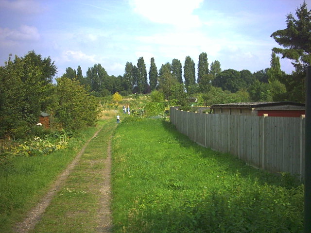
For outdoor enthusiasts, Waddon has several green spaces and parks nearby, such as Waddon Ponds and Wandle Park. These provide opportunities for leisurely walks, picnics, and recreational activities.
The area is also home to several schools, making it an attractive place for families. Waddon Primary School and Harris Academy Purley are among the educational institutions serving the local community.
Overall, Waddon is a pleasant residential area with excellent transport links, a variety of amenities, and green spaces, making it a desirable place to live within the Surrey borough of Croydon.
If you have any feedback on the listing, please let us know in the comments section below.
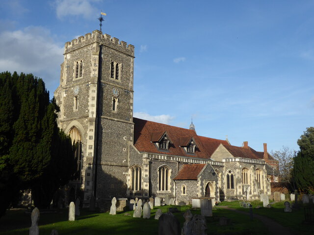
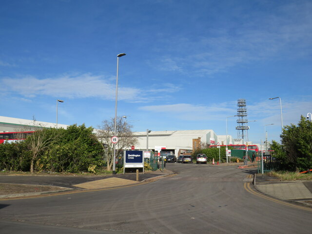
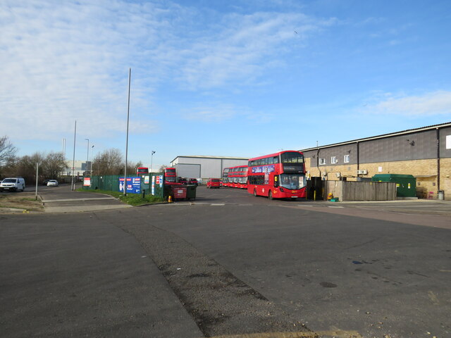
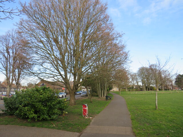
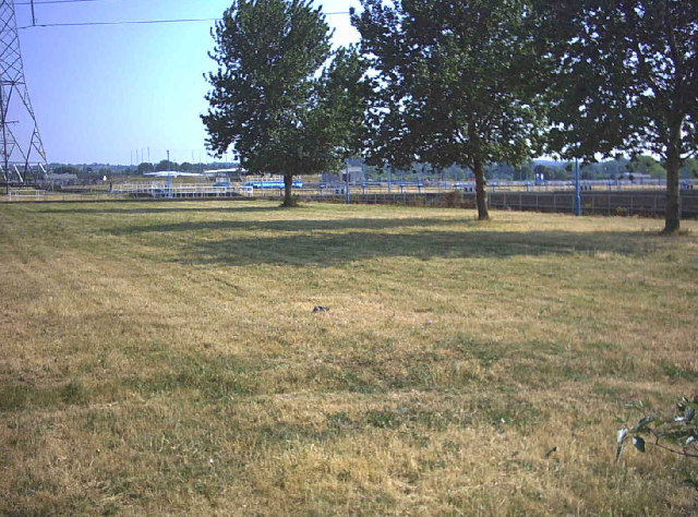
Waddon Images
Images are sourced within 2km of 51.371412/-0.11597868 or Grid Reference TQ3165. Thanks to Geograph Open Source API. All images are credited.


Waddon is located at Grid Ref: TQ3165 (Lat: 51.371412, Lng: -0.11597868)
Unitary Authority: Croydon
Police Authority: Metropolitan
What 3 Words
///call.behave.single. Near South Croydon, London
Nearby Locations
Related Wikis

Wandle Park tram stop
Wandle Park tram stop is a stop adjacent to Wandle Park in the London Borough of Croydon in the southern suburbs of London. It serves the residential area...
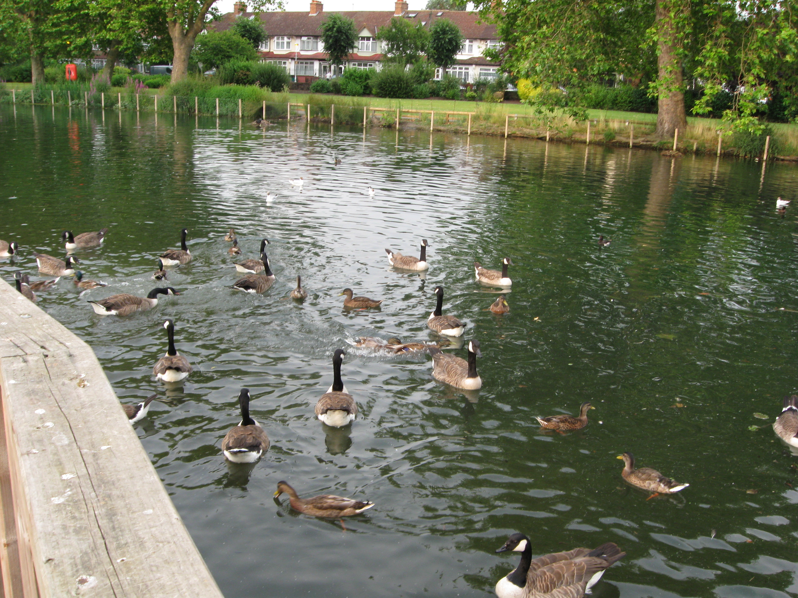
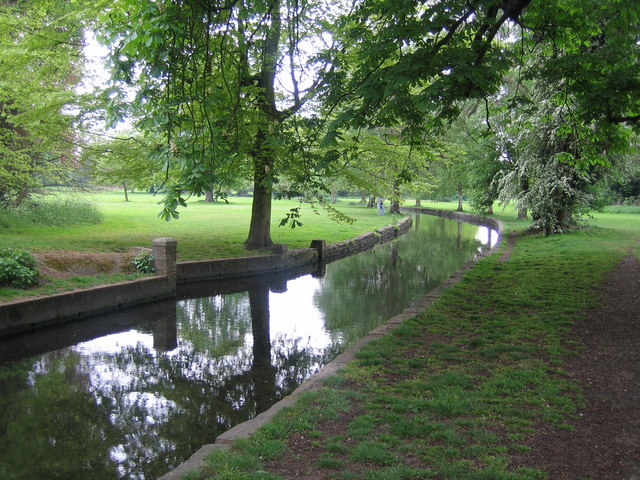
Waddon Ponds
Waddon Ponds is an ornamental 8.5 acres (3.4 ha) urban park / inland water in the western part of the London Borough of Croydon, by whom it is managed...
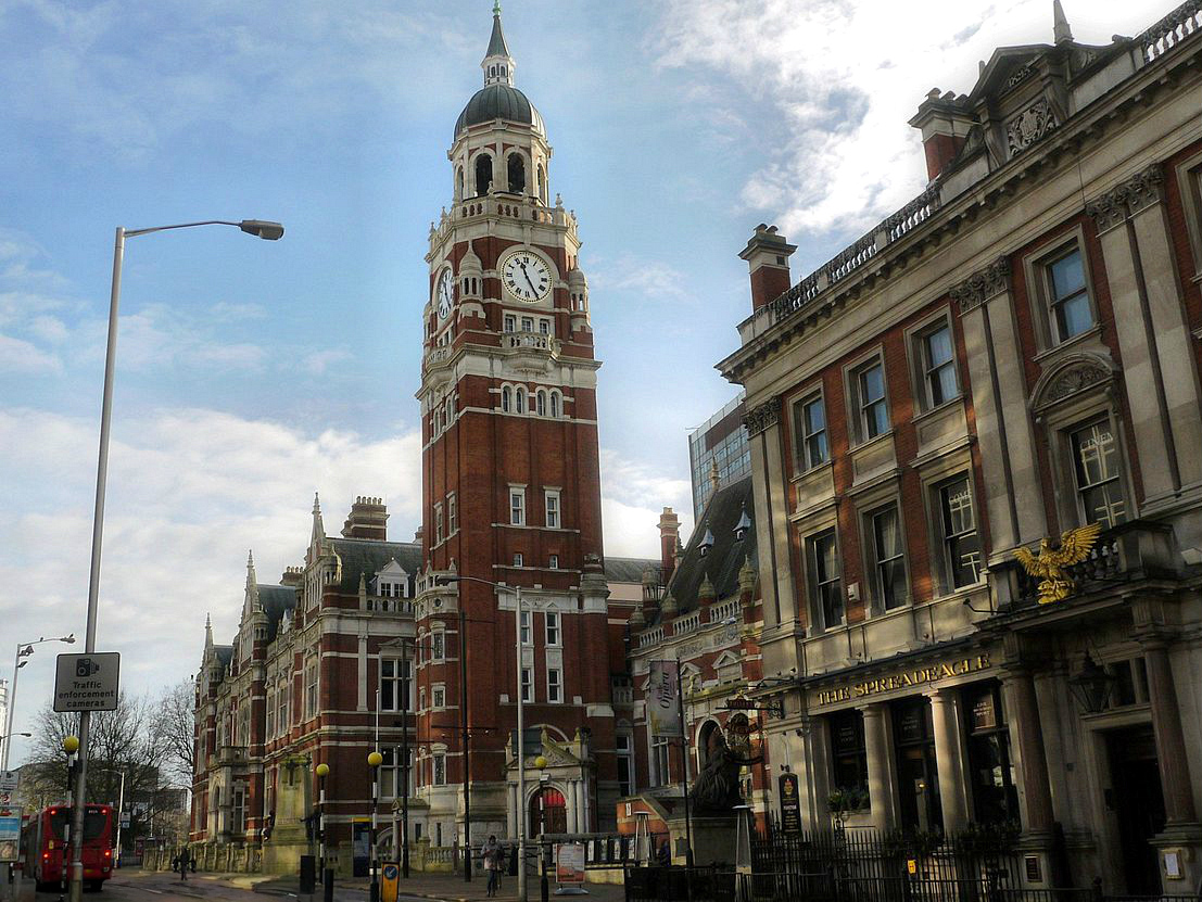
Croydon
Croydon is a large town in South London, England, 9.3 miles (15.0 km) south of Charing Cross. Part of the London Borough of Croydon, a local government...

Waddon railway station
Waddon railway station is in the London Borough of Croydon in south London. The station and all trains serving it are operated by Southern. It is in Travelcard...

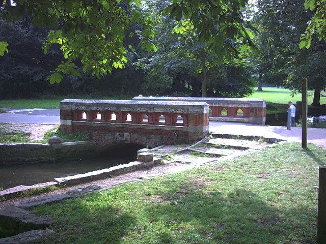
Wandle Park, Croydon
Wandle Park is an 8.5-hectare (21-acre) park located in the Broad Green Ward of Croydon, south London, England. It was opened in 1890 by the Mayor of...

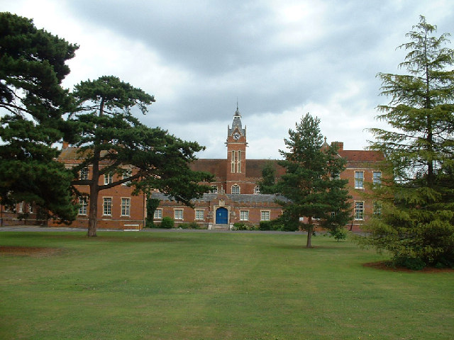
St Andrew's Church of England High School
St Andrew's Church of England High School was a Church of England voluntary aided school in Central Croydon, Greater London. First opened in 1862, The...

Waddon (ward)
Waddon is a ward in the London Borough of Croydon. covering most of the Waddon area and parts of South Croydon, Haling Park and Old Town. The new ward...
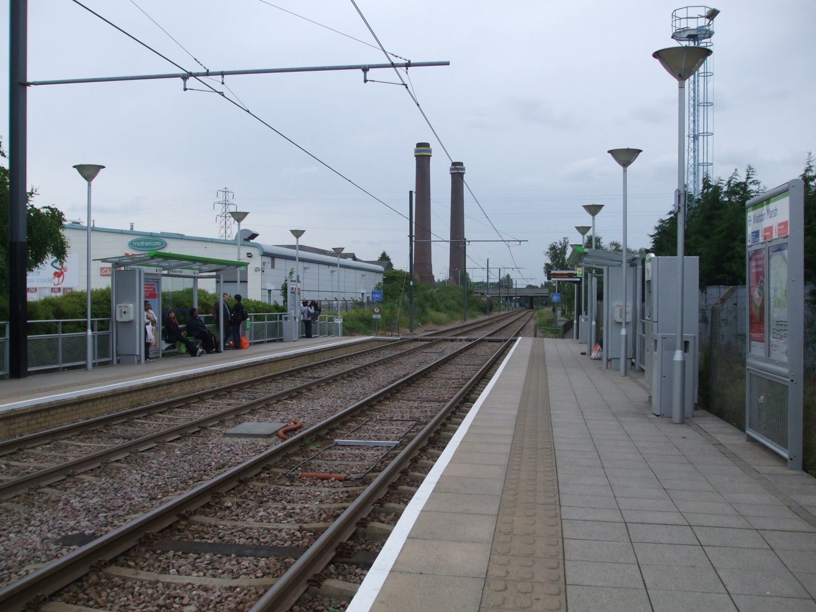
Waddon Marsh tram stop
Waddon Marsh tram stop is a stop on the Tramlink service serving the area between Waddon and Croydon in the London Borough of Croydon. It is close to the...
Nearby Amenities
Located within 500m of 51.371412,-0.11597868Have you been to Waddon?
Leave your review of Waddon below (or comments, questions and feedback).