Upper Padley
Settlement in Derbyshire Derbyshire Dales
England
Upper Padley
Upper Padley is a small village located in the picturesque Peak District National Park, in the county of Derbyshire, England. Nestled in the eastern part of the park, Upper Padley is renowned for its stunning natural beauty and rich history.
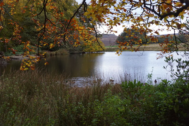
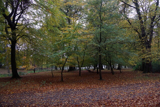
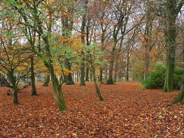
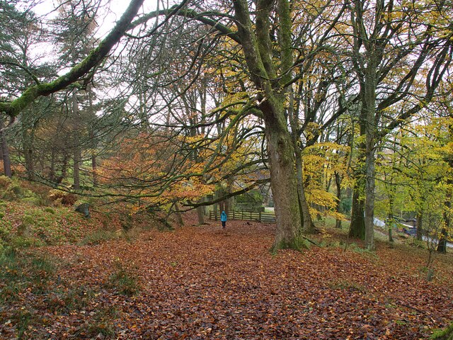
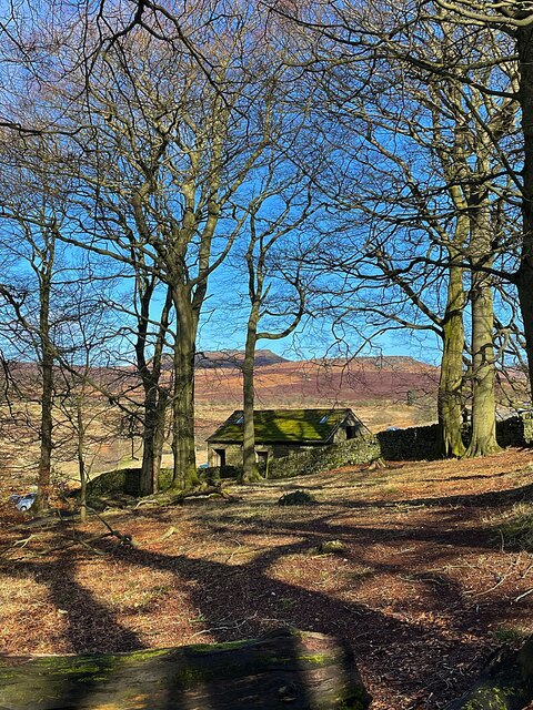
Surrounded by rolling hills and lush greenery, Upper Padley offers visitors a tranquil and idyllic setting. The village is characterized by its charming stone cottages, many of which date back to the 17th century. The well-preserved architecture adds to the village's charm and provides a glimpse into its past.
One of the most notable landmarks in Upper Padley is Padley Manor, a Grade II listed building that was once home to the prominent Eyre family. The manor, which dates back to the 16th century, is a testament to the village's historical significance. Visitors can explore the well-maintained gardens and learn about the manor's intriguing history.
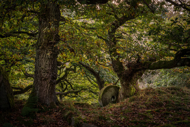
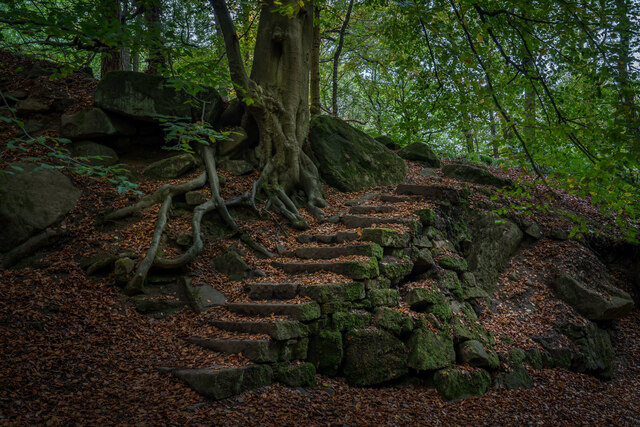
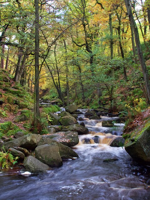
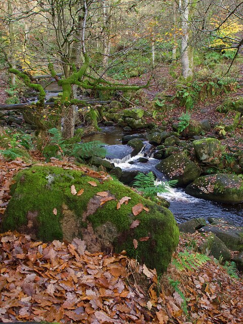
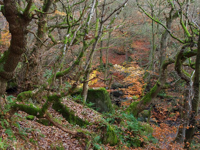
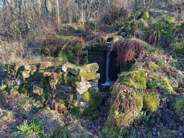
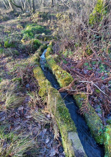
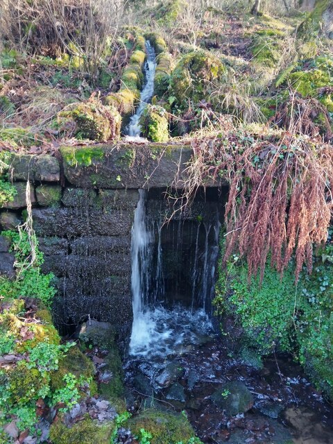
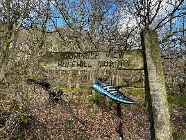
Nature enthusiasts will find plenty to enjoy in Upper Padley. The village is situated close to the Padley Gorge, a picturesque wooded valley with a meandering stream. The gorge offers breathtaking views and is a popular destination for hikers and photographers.
Upper Padley also benefits from its proximity to other attractions in the Peak District, including the historic Chatsworth House and the charming village of Hathersage. Outdoor activities such as walking, cycling, and rock climbing are readily available in the surrounding area.
In summary, Upper Padley is a quaint village in the heart of the Peak District National Park, offering visitors a glimpse into its rich history and providing opportunities to explore the stunning natural surroundings.
If you have any feedback on the listing, please let us know in the comments section below.
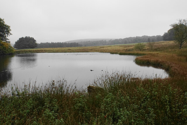
Upper Padley Images
Images are sourced within 2km of 53.305575/-1.6353 or Grid Reference SK2478. Thanks to Geograph Open Source API. All images are credited.

Upper Padley is located at Grid Ref: SK2478 (Lat: 53.305575, Lng: -1.6353)
Administrative County: Derbyshire
District: Derbyshire Dales
Police Authority: Derbyshire
What 3 Words
///users.blues.shuttered. Near Hathersage, Derbyshire
Nearby Locations
Related Wikis

Padley Hall
Padley Hall (or Padley Manor) was an Elizabethan great house overlooking the River Derwent near Grindleford, Derbyshire, England. The remains of the hall...

Padley Chapel
Padley Chapel is a building in Grindleford, England, on the site of the former Padley Hall (or Padley Manor). It is a Grade I listed building. == Padley... ==

Burbage Brook
Burbage Brook is an upper tributary stream of the River Derwent in the Peak District of England. == Toponymy == The origin of the name is thought to derive...
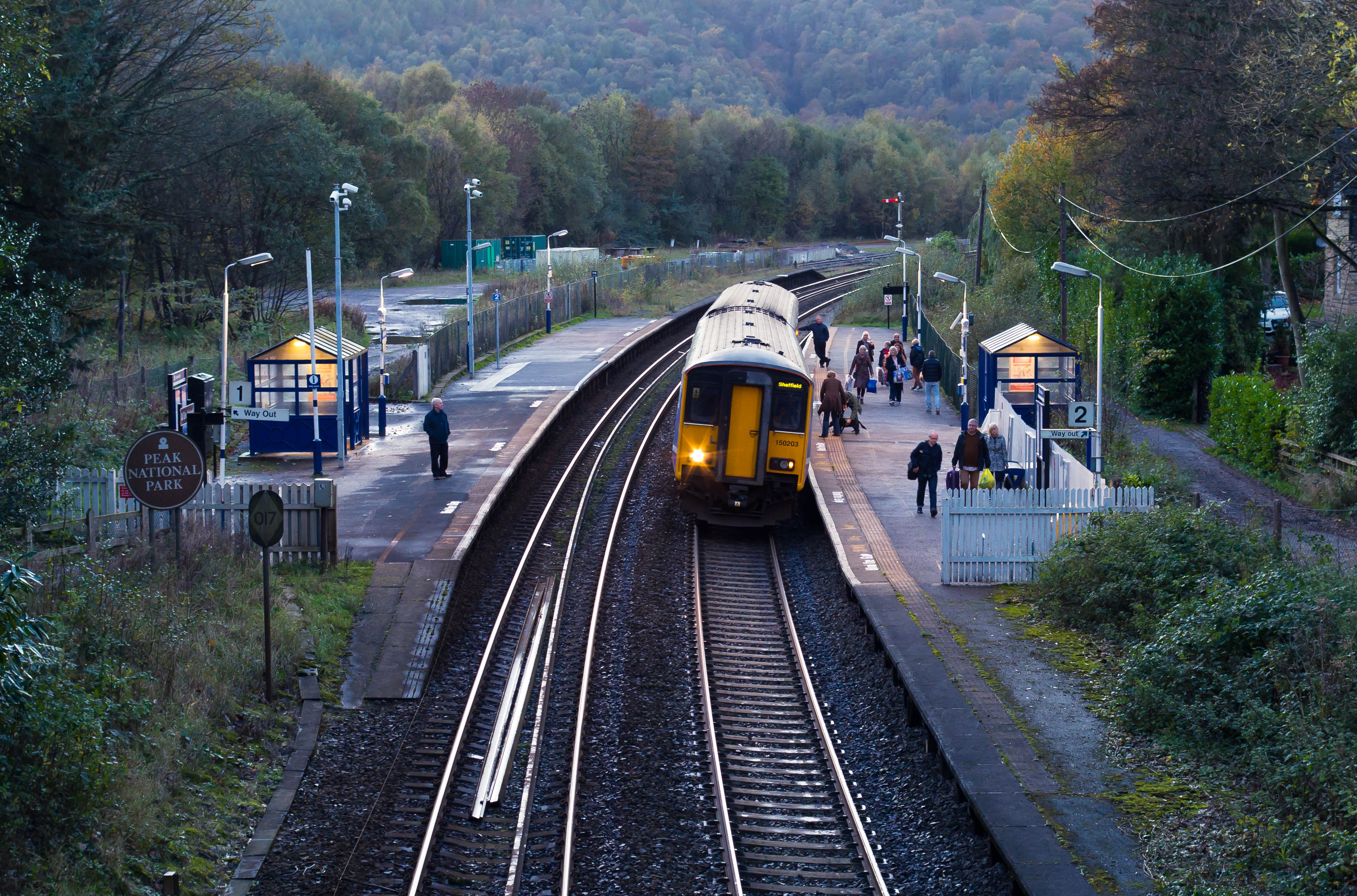
Grindleford railway station
Grindleford railway station serves the village of Grindleford in the Derbyshire Peak District, England. It is located 1 mile (1.6 km) away from the village...
Nearby Amenities
Located within 500m of 53.305575,-1.6353Have you been to Upper Padley?
Leave your review of Upper Padley below (or comments, questions and feedback).