Windses Wood
Wood, Forest in Derbyshire Derbyshire Dales
England
Windses Wood
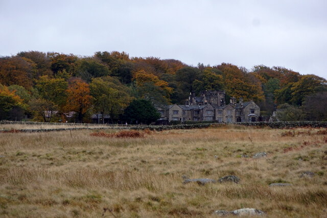
Windses Wood is a picturesque woodland located in Derbyshire, England. Covering an area of approximately 100 acres, the wood is known for its diverse range of flora and fauna, making it a popular destination for nature enthusiasts and hikers alike.
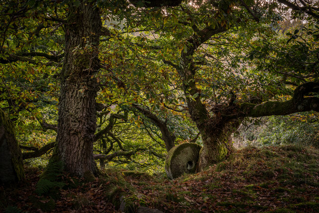
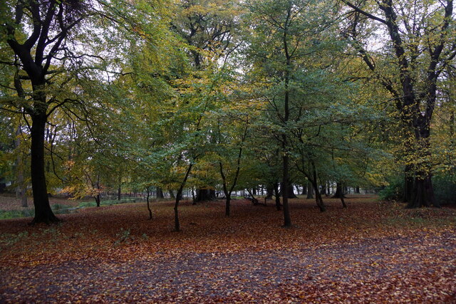
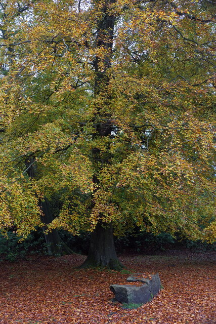
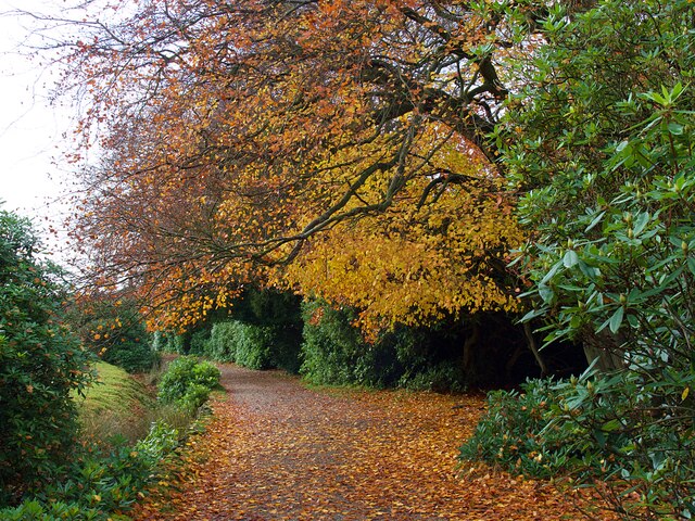
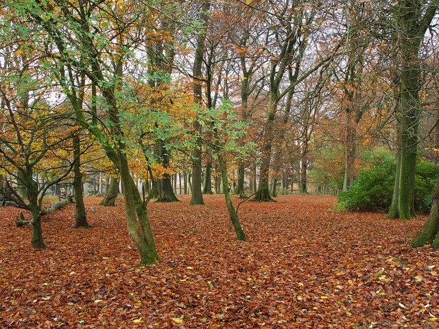
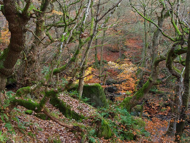
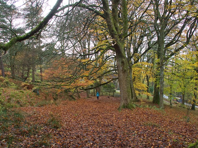
The woodland consists primarily of broadleaf trees, including oak, beech, and ash, which provide a dense canopy that filters the sunlight and creates a tranquil atmosphere within the wood. The forest floor is adorned with an array of wildflowers, such as bluebells and primroses, adding bursts of color throughout the seasons.
Windses Wood is also home to a variety of wildlife. Visitors may be lucky enough to spot deer, foxes, and squirrels roaming freely, while birds such as woodpeckers and owls can be heard among the treetops. The wood's diverse ecosystem provides a habitat for many species, contributing to its ecological significance.
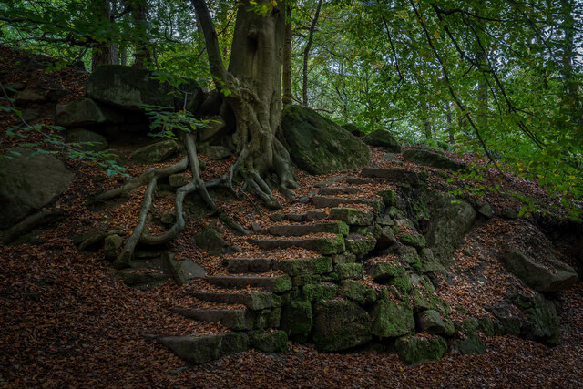
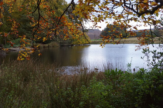
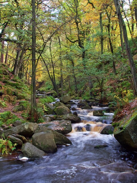
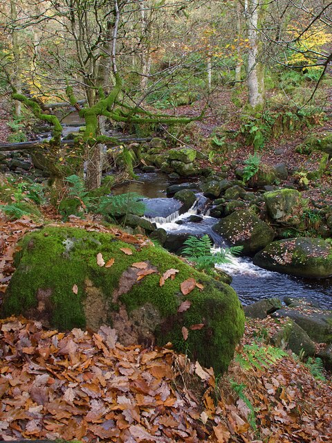
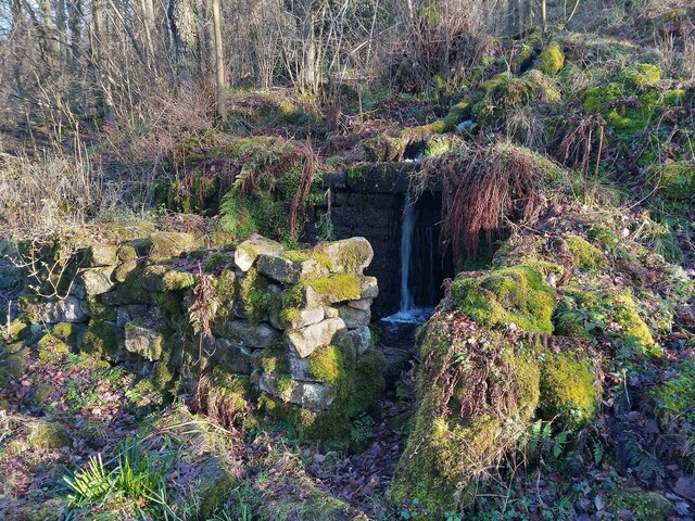
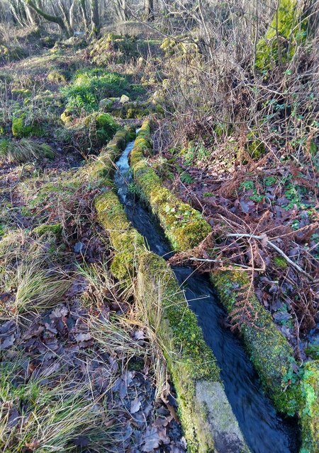
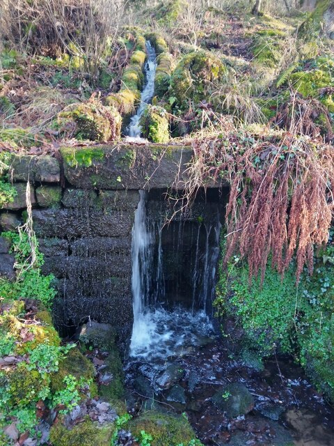
For outdoor enthusiasts, Windses Wood offers a network of well-maintained trails, providing opportunities for leisurely walks and more challenging hikes. The paths wind through the wood, allowing visitors to explore its different sections and discover its hidden gems, including a small pond and a meandering stream.
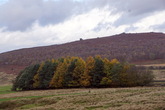
The wood is accessible throughout the year, with each season offering its own unique charm. In spring, the forest bursts into life with vibrant foliage and the fragrant scent of blossoming flowers. Summer brings lush greenery and dappled sunlight, while autumn paints the wood in a palette of rich reds, oranges, and yellows. In winter, the bare trees create a hauntingly beautiful landscape, with frost-covered branches and a peaceful silence that envelops the wood.
Overall, Windses Wood is a natural haven that offers a tranquil escape from the hustle and bustle of daily life, providing visitors with the chance to immerse themselves in the beauty of nature.
If you have any feedback on the listing, please let us know in the comments section below.
Windses Wood Images
Images are sourced within 2km of 53.30389/-1.6269715 or Grid Reference SK2478. Thanks to Geograph Open Source API. All images are credited.

Windses Wood is located at Grid Ref: SK2478 (Lat: 53.30389, Lng: -1.6269715)
Administrative County: Derbyshire
District: Derbyshire Dales
Police Authority: Derbyshire
What 3 Words
///youngest.fairness.artichoke. Near Hathersage, Derbyshire
Nearby Locations
Related Wikis

Padley Gorge
Padley Gorge is a deep but narrow valley in the Peak District, Derbyshire between the village of Grindleford and the A6187 road. The gorge is wooded with...
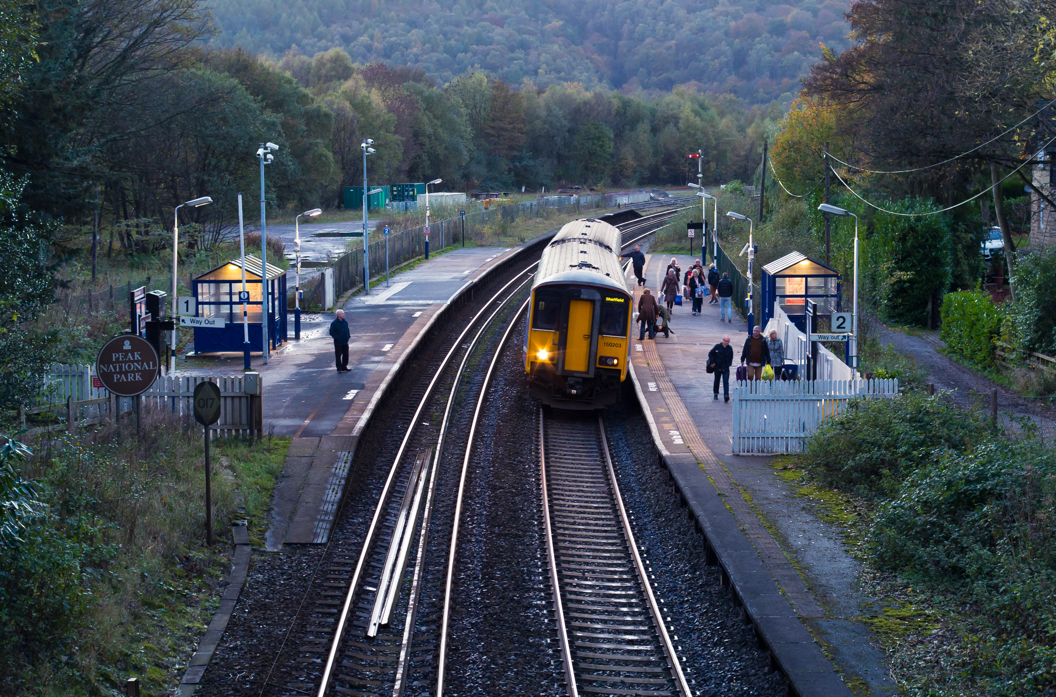
Grindleford railway station
Grindleford railway station serves the village of Grindleford in the Derbyshire Peak District, in England, although the station is about a mile way, the...

Padley Hall
Padley Hall (or Padley Manor) was an Elizabethan great house overlooking the River Derwent near Grindleford, Derbyshire, England. The remains of the hall...

Padley Chapel
Padley Chapel is a building in Grindleford, England, on the site of the former Padley Hall (or Padley Manor). It is a Grade I listed building. == Padley... ==

Burbage Brook
Burbage Brook is an upper tributary stream of the River Derwent in the Peak District of England. == Toponymy == The origin of the name is thought to derive...

Grindleford
Grindleford is a village and civil parish in the county of Derbyshire, in the East Midlands of England. The population of the civil parish as taken at...

Leam, Derbyshire
Leam, or historically Leam Farm, is a hamlet in the English county of Derbyshire. There are a number of buildings, which once formed a single estate. Leam...

Master's Edge
Master's Edge is an 18-metre (59 ft) gritstone arête that is a rock climbing route in the "Corners Area" of Millstone Edge quarry, in the Peak District...
Nearby Amenities
Located within 500m of 53.30389,-1.6269715Have you been to Windses Wood?
Leave your review of Windses Wood below (or comments, questions and feedback).