Padley, Upper
Settlement in Derbyshire Derbyshire Dales
England
Padley, Upper
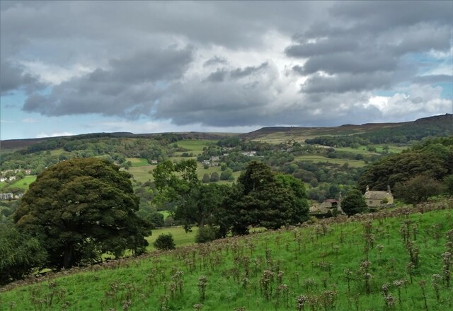
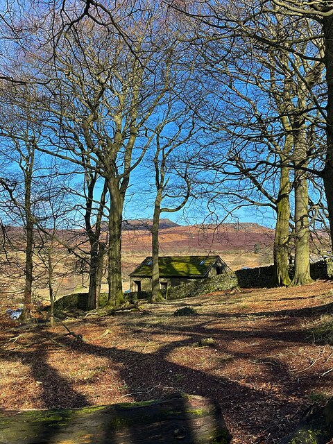
Padley, Upper is a small village situated in the Derbyshire Dales district of Derbyshire, England. Nestled amidst picturesque rolling hills, Padley is known for its tranquil and idyllic setting, making it a popular destination for nature enthusiasts and hikers.
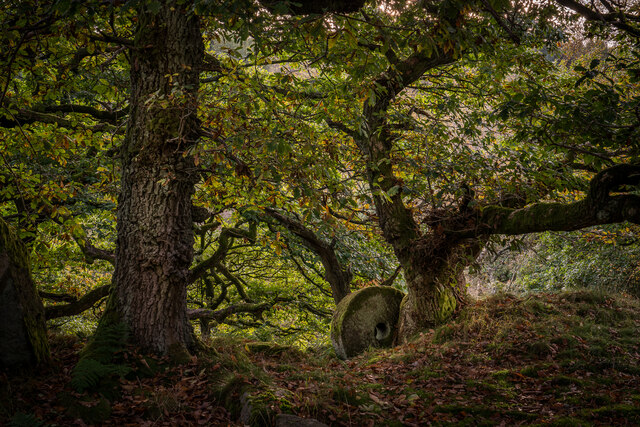
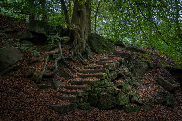
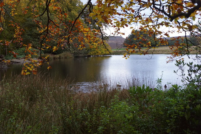
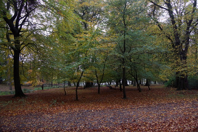
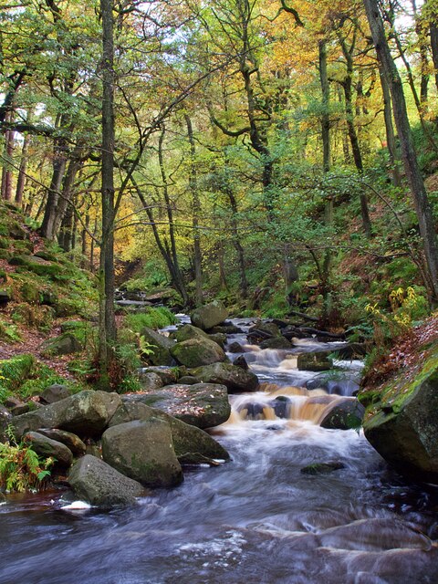
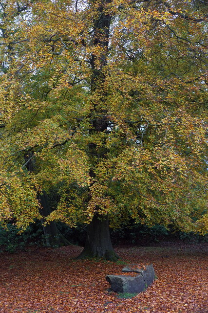
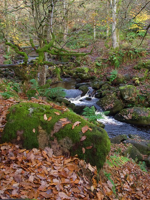
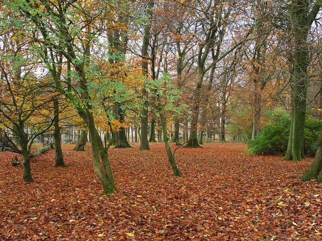
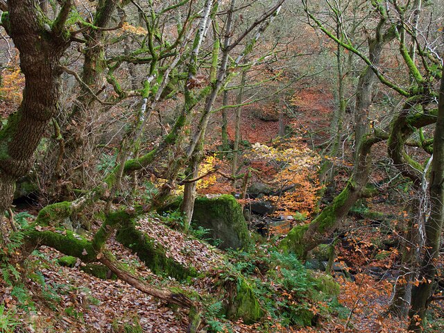
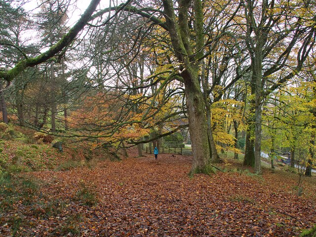
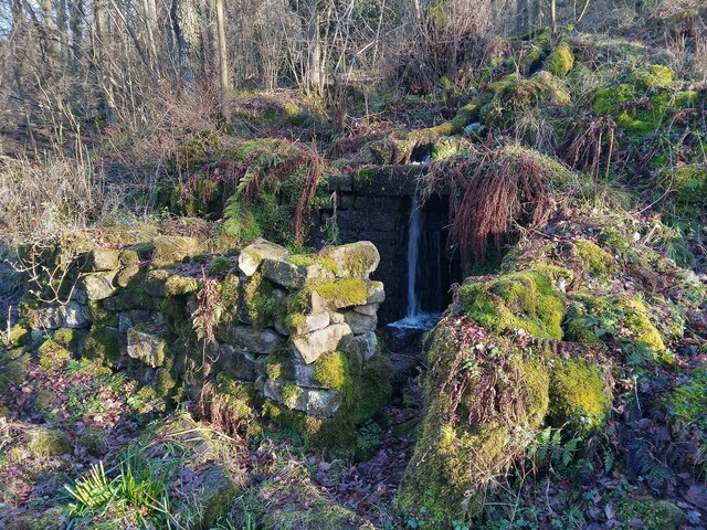
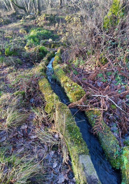
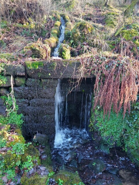
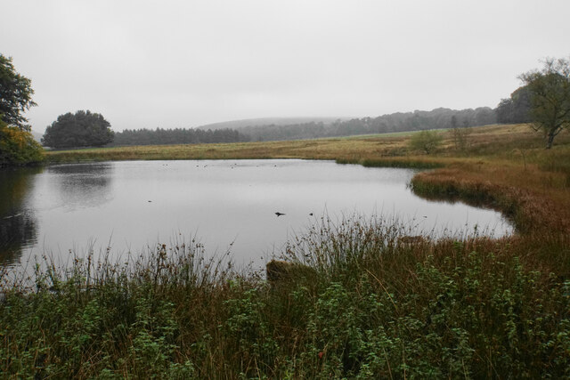
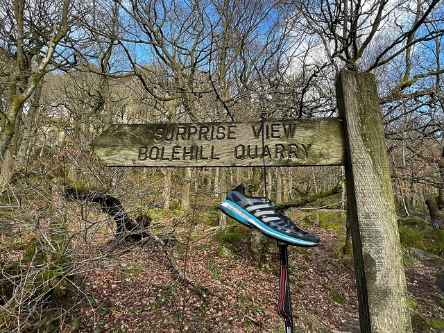
The village is located approximately 8 miles west of Sheffield and is surrounded by lush green fields and dense woodlands, offering a range of walking trails and outdoor activities. Padley Brook, a small stream that meanders through the village, adds to its natural charm.
Historically, Padley has been inhabited since ancient times, with evidence of Roman and Anglo-Saxon settlements in the area. The village is named after the Padley Hall, a historic manor house that dates back to the 12th century. Padley Hall is renowned for its unique architectural style, featuring a mix of medieval and Tudor elements. It is a Grade II listed building and attracts visitors interested in the region's history.
Today, Padley is a close-knit community with a small population. The village boasts a few traditional cottages, a village pub, and a local church, St. John the Baptist, which has served as a spiritual center for residents for centuries.
Overall, Padley, Upper offers a serene and picturesque escape from the hustle and bustle of city life, with its natural beauty and historical significance. It is a destination where visitors can immerse themselves in the charm of the English countryside.
If you have any feedback on the listing, please let us know in the comments section below.
Padley, Upper Images
Images are sourced within 2km of 53.305575/-1.6353 or Grid Reference SK2478. Thanks to Geograph Open Source API. All images are credited.

Padley, Upper is located at Grid Ref: SK2478 (Lat: 53.305575, Lng: -1.6353)
Administrative County: Derbyshire
District: Derbyshire Dales
Police Authority: Derbyshire
What 3 Words
///users.blues.shuttered. Near Hathersage, Derbyshire
Nearby Locations
Related Wikis

Padley Hall
Padley Hall (or Padley Manor) was an Elizabethan great house overlooking the River Derwent near Grindleford, Derbyshire, England. The remains of the hall...

Padley Chapel
Padley Chapel is a building in Grindleford, England, on the site of the former Padley Hall (or Padley Manor). It is a Grade I listed building. == Padley... ==

Burbage Brook
Burbage Brook is an upper tributary stream of the River Derwent in the Peak District of England. == Toponymy == The origin of the name is thought to derive...
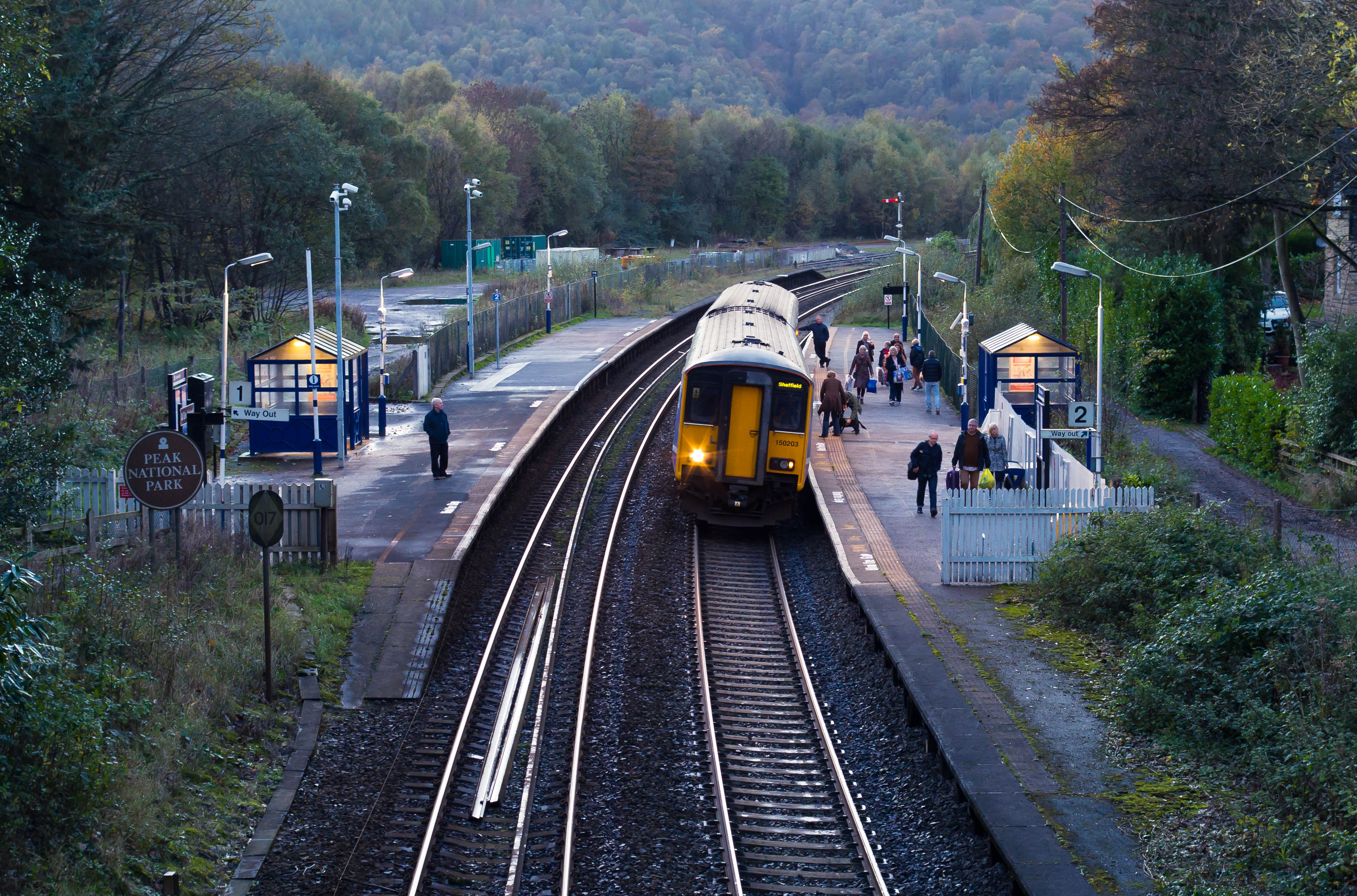
Grindleford railway station
Grindleford railway station serves the village of Grindleford in the Derbyshire Peak District, England. It is located 1 mile (1.6 km) away from the village...
Nearby Amenities
Located within 500m of 53.305575,-1.6353Have you been to Padley, Upper?
Leave your review of Padley, Upper below (or comments, questions and feedback).