Persley, Upper
Settlement in Aberdeenshire
Scotland
Persley, Upper

Persley is a small village located in the region of Upper Aberdeenshire, Scotland. Situated approximately 4 miles northwest of the city center of Aberdeen, it falls within the administrative boundaries of Aberdeen City Council. The village is nestled between the River Don to the north and the A92 road to the south.
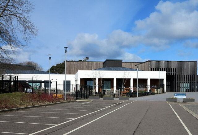
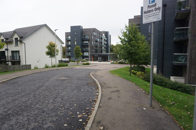
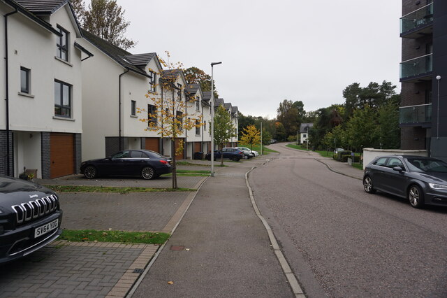
Persley is primarily a residential area with a mix of houses, ranging from traditional stone-built cottages to more modern developments. The village offers a serene and picturesque setting, surrounded by lush green fields and countryside. The River Don adds to the charm of the area, offering pleasant walks and fishing opportunities.
While Persley itself is a quiet village, it benefits from its proximity to Aberdeen, which provides residents with easy access to a wide range of amenities and services. The city offers excellent shopping facilities, a variety of restaurants and cafes, cultural attractions, and a vibrant nightlife.
In terms of transportation, Persley is well-connected to Aberdeen by road, with the A96 and A92 providing convenient access to the village. Additionally, there are bus services that operate between the village and the city center. Aberdeen International Airport is also within reasonable distance, making it convenient for both domestic and international travel.
Overall, Persley offers residents a peaceful and idyllic living environment while being in close proximity to the amenities and opportunities of a bustling city like Aberdeen.
If you have any feedback on the listing, please let us know in the comments section below.
Persley, Upper Images
Images are sourced within 2km of 57.180689/-2.183591 or Grid Reference NJ8910. Thanks to Geograph Open Source API. All images are credited.


Persley, Upper is located at Grid Ref: NJ8910 (Lat: 57.180689, Lng: -2.183591)
Unitary Authority: City of Aberdeen
Police Authority: North East
What 3 Words
///panic.spouse.raft. Near Dyce, Aberdeen
Nearby Locations
Related Wikis
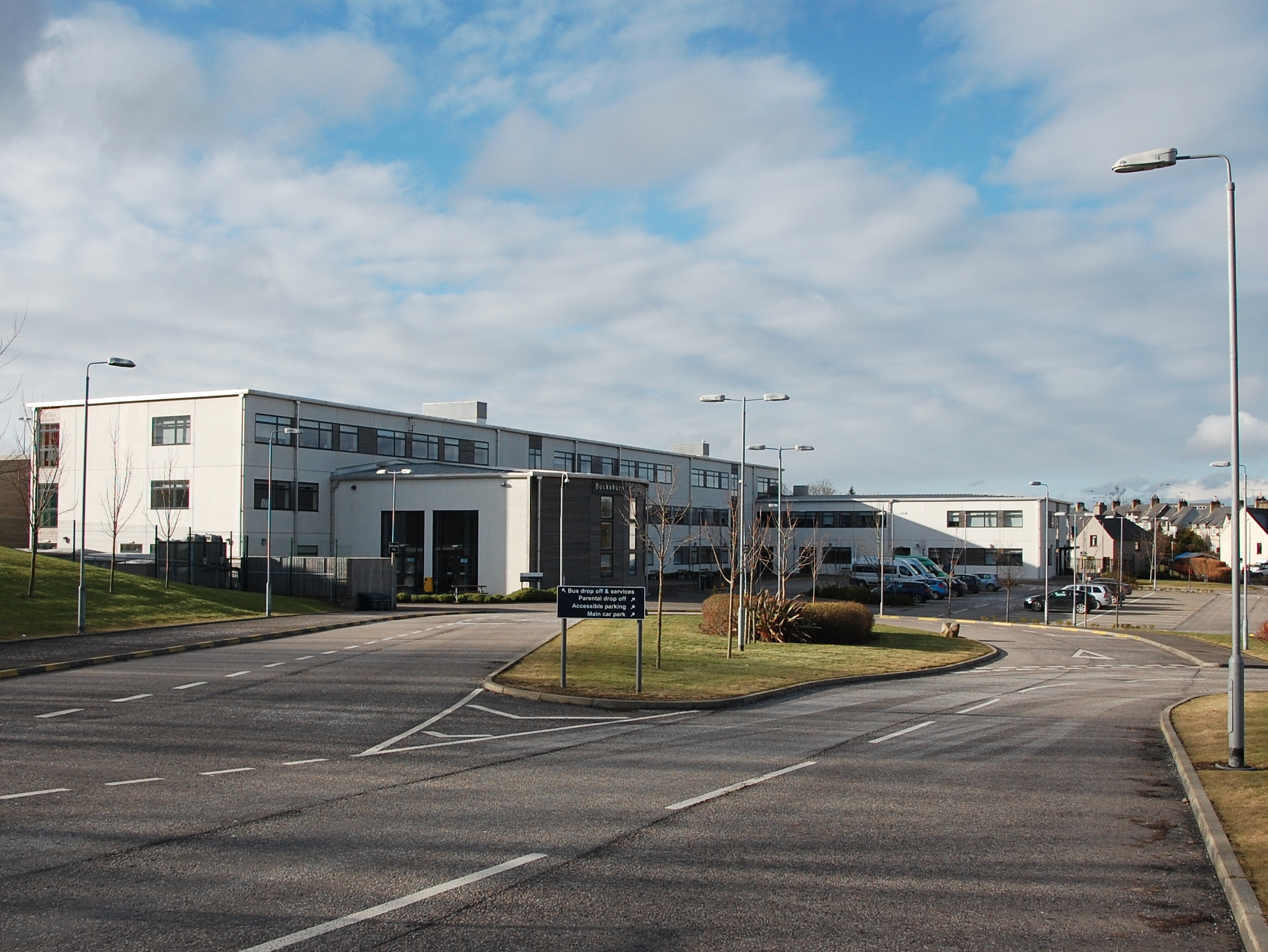
Bucksburn Academy
Bucksburn Academy is the only state secondary school in Bucksburn, a suburb/town in Aberdeen, Scotland serving as the sole provider of secondary education...
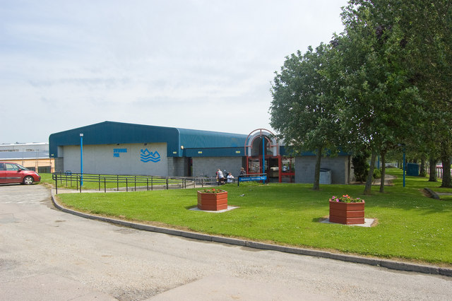
Bucksburn Swimming Pool
Bucksburn Swimming Pool is a swimming pool in Bucksburn, Aberdeen, Scotland. == History == The swimming pool opened on 20 November 1989. It was built at...
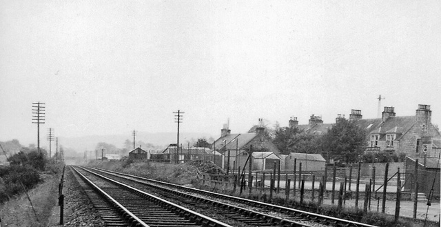
Bankhead railway station (Aberdeen)
Bankhead railway station (Aberdeen) served the area of Bankhead, Aberdeenshire, Scotland from 1887 to 1937 on the Great North of Scotland Railway. ��2...
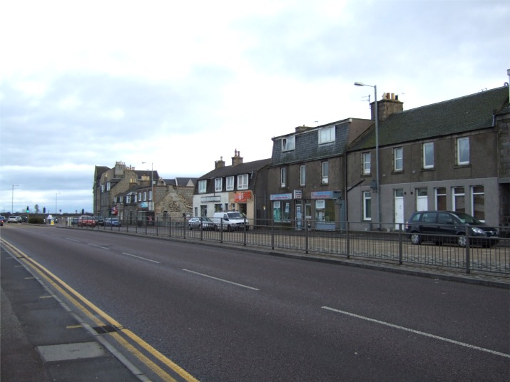
Bucksburn
Bucksburn (Scots: Buudburn; Scottish Gaelic: Allt a' Bhuic) is a suburb of Aberdeen, Scotland, named after the stream that flows through it. The stream...
Nearby Amenities
Located within 500m of 57.180689,-2.183591Have you been to Persley, Upper?
Leave your review of Persley, Upper below (or comments, questions and feedback).