Bankhead
Settlement in Aberdeenshire
Scotland
Bankhead

Bankhead is a small rural settlement located in Aberdeenshire, Scotland. Situated approximately 10 miles northwest of the town of Inverurie, Bankhead is nestled amidst picturesque countryside and offers a tranquil and serene environment.
The village is characterized by its charming traditional stone-built houses and idyllic landscapes, making it an attractive destination for those seeking a peaceful retreat. Surrounded by rolling hills and lush green fields, Bankhead is a haven for nature enthusiasts and outdoor lovers. Numerous walking trails and cycling routes crisscross the area, providing ample opportunities to explore the stunning scenery and enjoy the fresh air.
Despite its rural setting, Bankhead benefits from its close proximity to Inverurie, which offers a range of amenities such as shops, restaurants, and leisure facilities. The village itself, however, does not have its own amenities, requiring residents to travel to nearby towns for their daily needs.
Bankhead is well-connected to the surrounding areas by road, making it easily accessible for both residents and visitors. The nearby Inverurie train station provides convenient rail connections to major cities including Aberdeen and Inverness, further enhancing its accessibility.
In summary, Bankhead is a charming rural settlement in Aberdeenshire, offering a peaceful lifestyle amidst stunning natural beauty. Its proximity to Inverurie ensures residents have access to essential amenities while still being able to enjoy the tranquility of village life.
If you have any feedback on the listing, please let us know in the comments section below.
Bankhead Images
Images are sourced within 2km of 57.182824/-2.1789532 or Grid Reference NJ8910. Thanks to Geograph Open Source API. All images are credited.


Bankhead is located at Grid Ref: NJ8910 (Lat: 57.182824, Lng: -2.1789532)
Unitary Authority: City of Aberdeen
Police Authority: North East
What 3 Words
///dime.hardback.camped. Near Dyce, Aberdeen
Nearby Locations
Related Wikis
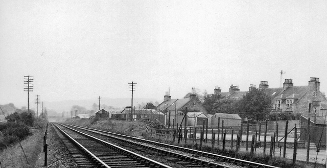
Bankhead railway station (Aberdeen)
Bankhead railway station (Aberdeen) served the area of Bankhead, Aberdeenshire, Scotland from 1887 to 1937 on the Great North of Scotland Railway. ��2...
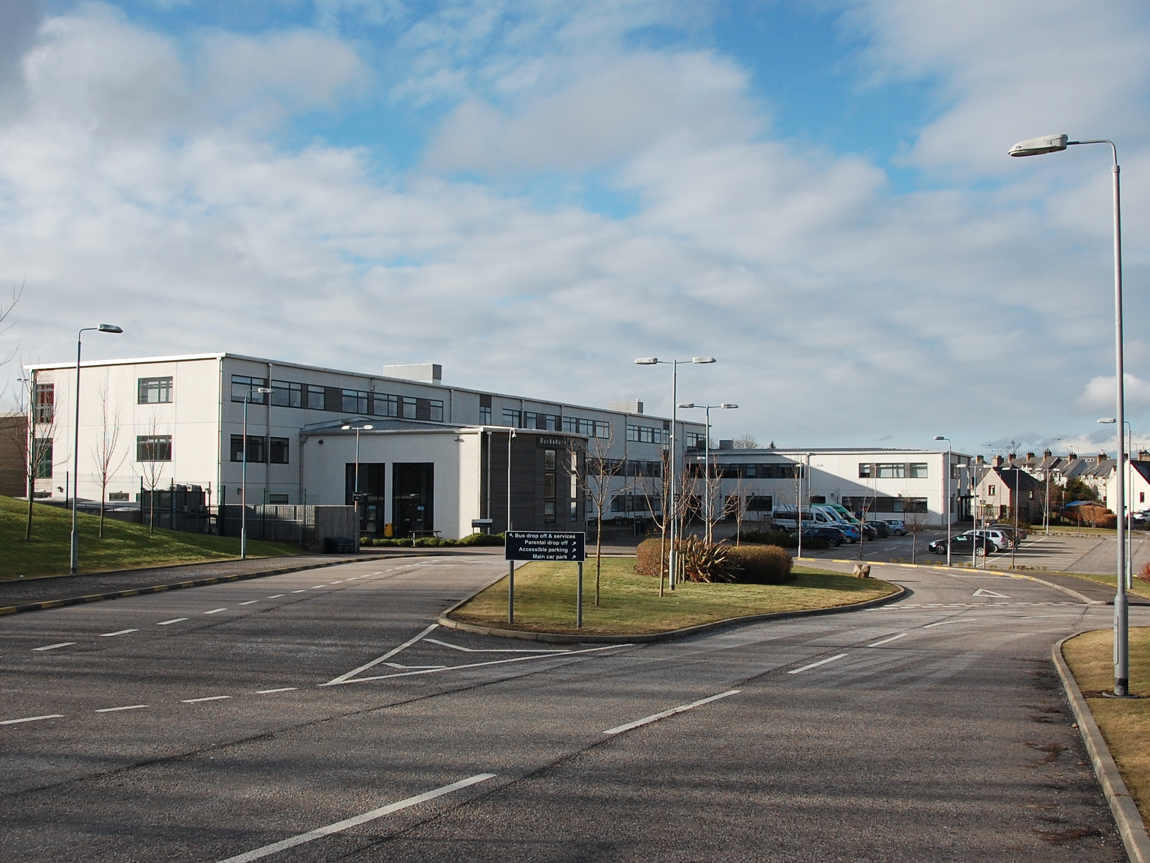
Bucksburn Academy
Bucksburn Academy is the only state secondary school in Bucksburn, a suburb/town in Aberdeen, Scotland serving as the sole provider of secondary education...
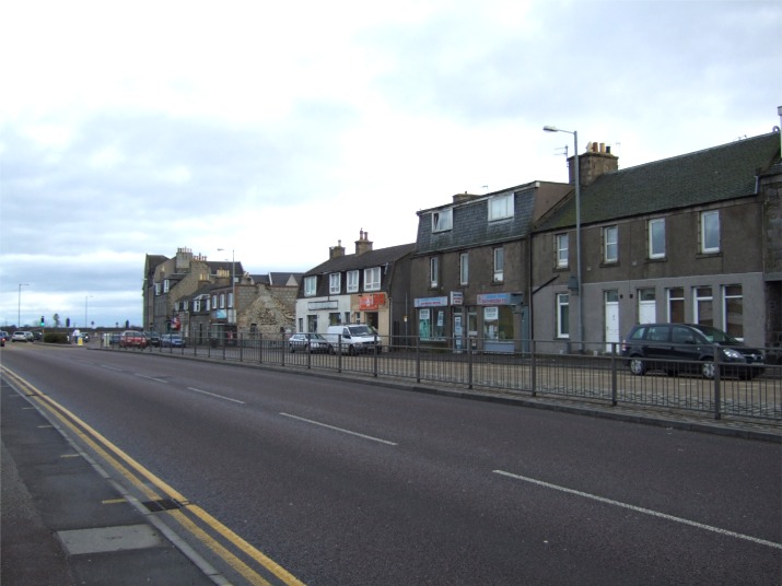
Bucksburn
Bucksburn (Scots: Buudburn; Scottish Gaelic: Allt a' Bhuic) is a suburb of Aberdeen, Scotland, named after the stream that flows through it. The stream...
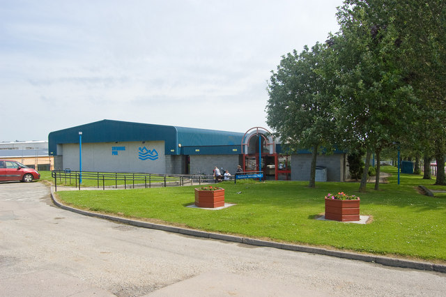
Bucksburn Swimming Pool
Bucksburn Swimming Pool is a swimming pool in Bucksburn, Aberdeen, Scotland. == History == The swimming pool opened on 20 November 1989. It was built at...

Bucksburn railway station
Bucksburn railway station served the suburb of Bucksburn, Aberdeenshire, Scotland from 1854 to 1968 on the Great North of Scotland Railway. == History... ==

Stoneywood railway station
Stoneywood railway station served the village of Stoneywood, Aberdeen, Scotland from 1887 to 1937 on the Great North of Scotland Railway. == History... ==

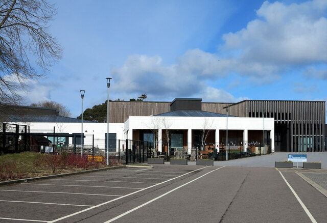
P&J Live
P&J Live (also known as The Event Complex Aberdeen) is a multi-purpose indoor arena in the suburb of Bucksburn, in Aberdeen in Scotland. Opened in August...

Stoneywood Parkvale F.C.
Stoneywood Parkvale Football Club are a Scottish football club from the Stoneywood area of Aberdeen. Members of the Scottish Junior Football Association...
Nearby Amenities
Located within 500m of 57.182824,-2.1789532Have you been to Bankhead?
Leave your review of Bankhead below (or comments, questions and feedback).