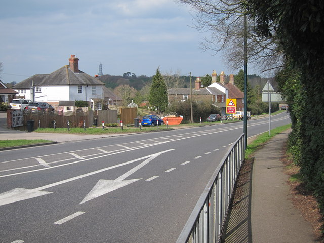
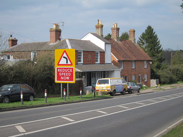
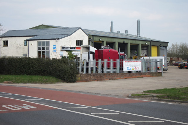
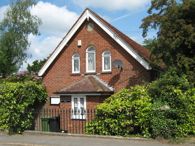
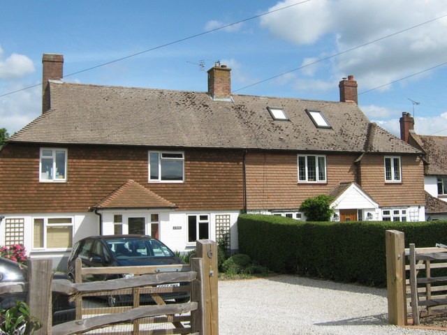
Union Street
Settlement in Sussex Rother
England
Union Street
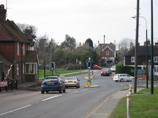
Union Street is a vibrant and historic street located in the heart of Sussex, England. Stretching over a quarter of a mile, it is one of the most iconic and well-known streets in the region.
Lined with a mix of charming period buildings and modern establishments, Union Street offers a diverse range of shops, cafes, restaurants, and boutiques. The street has a distinct character, with its cobblestone pavements and beautifully preserved facades, giving it a unique charm.
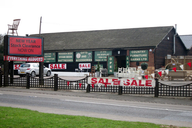
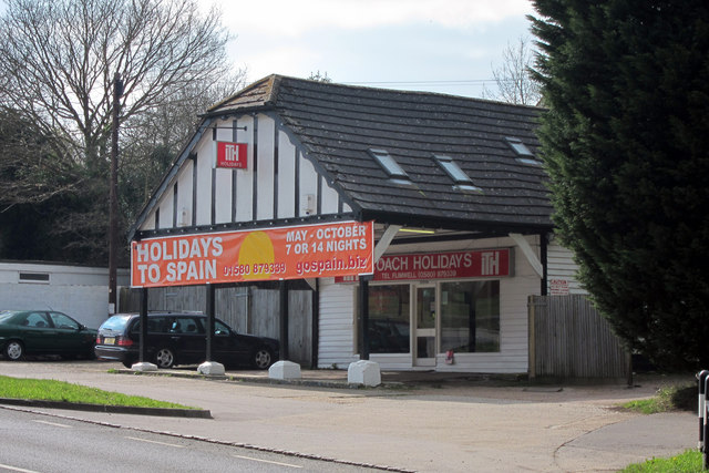
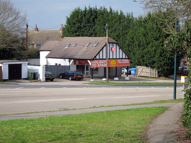
The street is a shopper's paradise, with a wide variety of stores catering to all tastes and budgets. From high-end fashion boutiques to quaint antique shops and art galleries, visitors can find an array of goods and souvenirs to take home. The street is also home to several local businesses, including bookstores, delis, and bakeries, providing a range of local produce and delicacies.
Union Street is not only a shopping destination but also a cultural hub. It hosts regular events and festivals throughout the year, attracting both locals and tourists alike. The street comes alive with live music, street performers, and art exhibitions, creating a vibrant and lively atmosphere.
Moreover, Union Street is conveniently located, with excellent transport links and ample parking facilities nearby. It is easily accessible by foot, car, or public transportation, making it a convenient destination for visitors from all over Sussex.
Overall, Union Street is a captivating and bustling street that showcases the rich history and vibrant culture of Sussex. It offers a unique shopping experience, a diverse range of culinary delights, and a vibrant atmosphere that appeals to all.
If you have any feedback on the listing, please let us know in the comments section below.
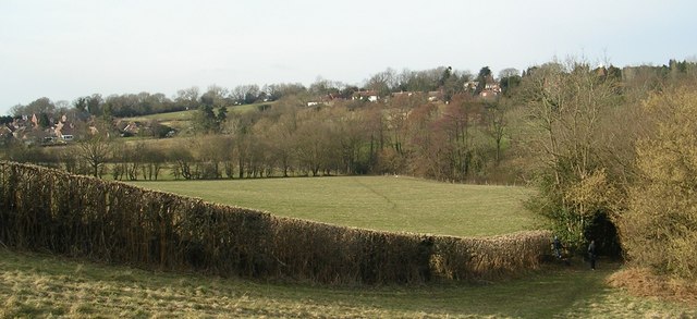
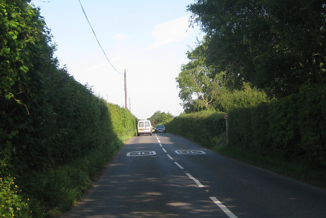
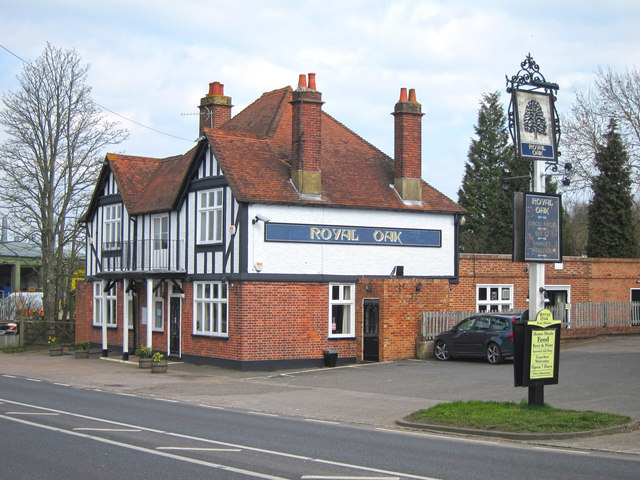
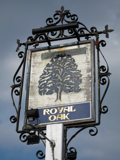
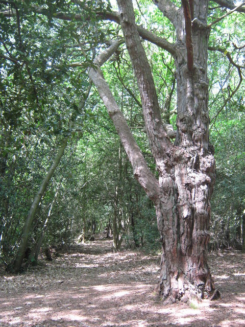
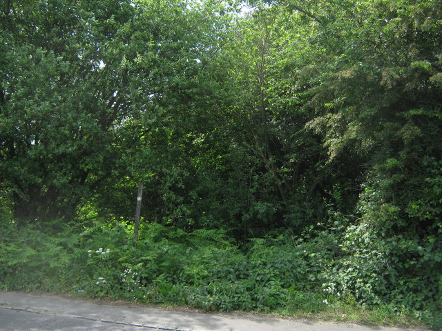
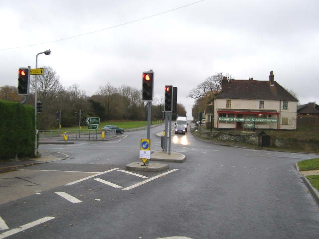
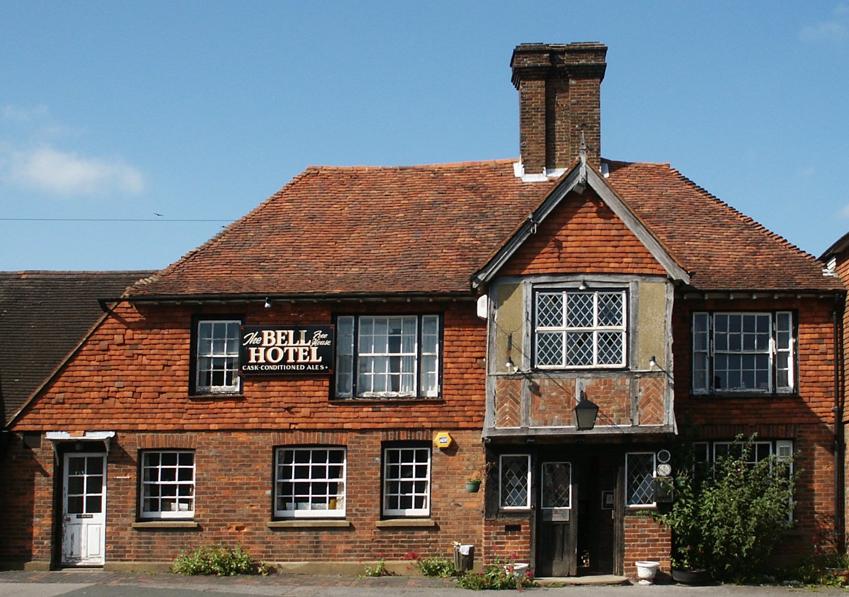
Union Street Images
Images are sourced within 2km of 51.055046/0.435439 or Grid Reference TQ7031. Thanks to Geograph Open Source API. All images are credited.
Union Street is located at Grid Ref: TQ7031 (Lat: 51.055046, Lng: 0.435439)
Administrative County: East Sussex
District: Rother
Police Authority: Sussex
What 3 Words
///offers.mental.gossiping. Near Flimwell, East Sussex
Nearby Locations
Related Wikis
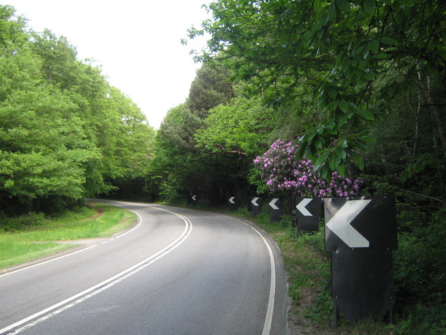
Flimwell
Flimwell is a village in the civil parish of Ticehurst, in the Rother district of East Sussex, England. It is located close to the border with Kent at...

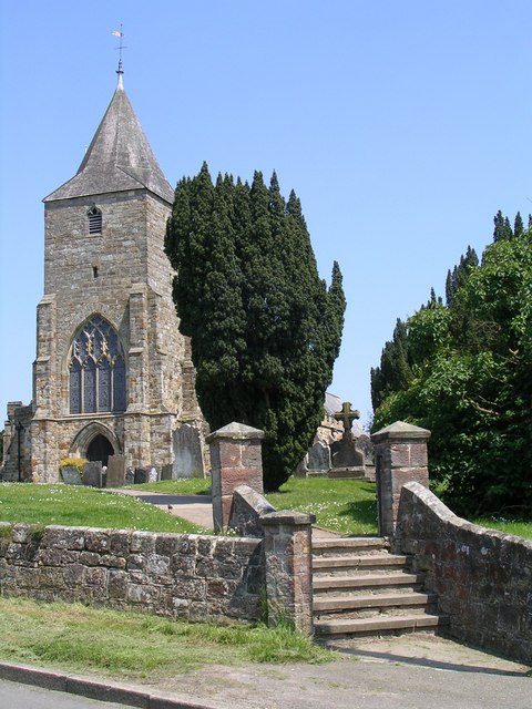
St Augustine's Church, Flimwell
St Augustine's Church is the Anglican parish church of Flimwell, a village in the Rother district of East Sussex, England. It was consecrated in 1839 after...
Ticehurst
Ticehurst is both a village and a large civil parish in the Rother district of East Sussex, England. The parish lies in the upper reaches of both the Bewl...

Combwell Priory
Combwell Priory was a priory near Bedgebury Cross about 10 miles southeast of Tunbridge Wells in Kent, England. == History == This is a Grade II listed...
St Mary's Church, Ticehurst
St Mary's Church is a 14th-century parish church dedicated to St Mary the Virgin in Ticehurst, East Sussex, England. Part of the Diocese of Chichester...

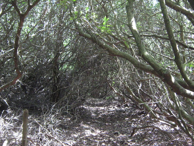
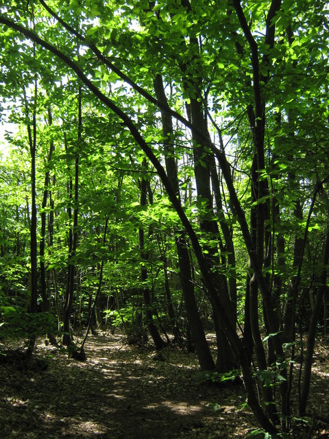
Bedgebury Forest
Bedgebury Forest is a 10.5 square kilometres (2,600 acres) forest surrounding Bedgebury National Pinetum, near Flimwell in Kent. In contrast to the National...

Bedgebury National Pinetum
Bedgebury National Pinetum at Bedgebury, Kent, in the United Kingdom, is a recreational and conservational arboretum managed by Forestry England that was...
Bedgebury Cross
Bedgebury Cross is a hamlet in the civil parish of Goudhurst. It is located, in the Bedgebury Forest area of Kent, England. It is located on the B2079...
Nearby Amenities
Located within 500m of 51.055046,0.435439Have you been to Union Street?
Leave your review of Union Street below (or comments, questions and feedback).