Ketley Pond

Lake, Pool, Pond, Freshwater Marsh in Kent Rother

England

Ketley Pond

The Royal Oak, Flimwell Pub beside the busy A21.
The Royal Oak, Flimwell Credit: Oast House Archive

Ketley Pond is a small freshwater marsh located in the county of Kent, England. Spanning an area of approximately 2 hectares, the pond attracts visitors with its serene and picturesque surroundings. It is situated within close proximity to the village of Ketley, adding to its accessibility and popularity.

The pond boasts a diverse range of flora and fauna, making it a haven for nature enthusiasts. Its calm waters are home to various species of aquatic plants, including water lilies, reeds, and rushes. These plants provide a habitat for an array of wildlife, such as frogs, toads, and dragonflies.

The surrounding marshland is also rich in biodiversity. It supports a variety of bird species, including ducks, swans, and herons, making it a popular spot for birdwatchers. Visitors can often spot these graceful creatures gliding across the water or nesting in the reeds.

Ketley Pond offers a tranquil setting for recreational activities. Fishing enthusiasts can try their luck in catching carp, roach, and tench, as the pond is well-stocked with these species. Additionally, the pond is a popular spot for leisurely walks and picnics, with benches and picnic areas available for visitors to relax and enjoy the peaceful ambiance.

Overall, Ketley Pond is a charming freshwater marsh that offers a diverse range of flora and fauna, making it an idyllic destination for nature lovers and those seeking a tranquil escape in the heart of Kent.

If you have any feedback on the listing, please let us know in the comments section below.
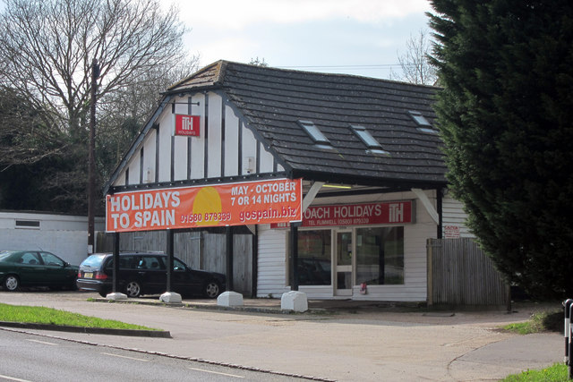
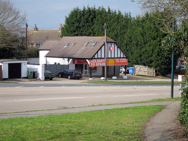
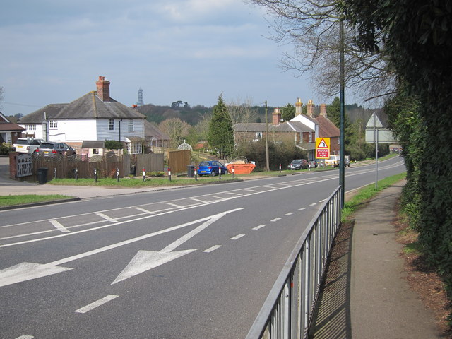
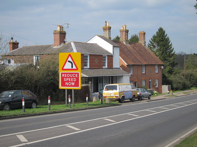
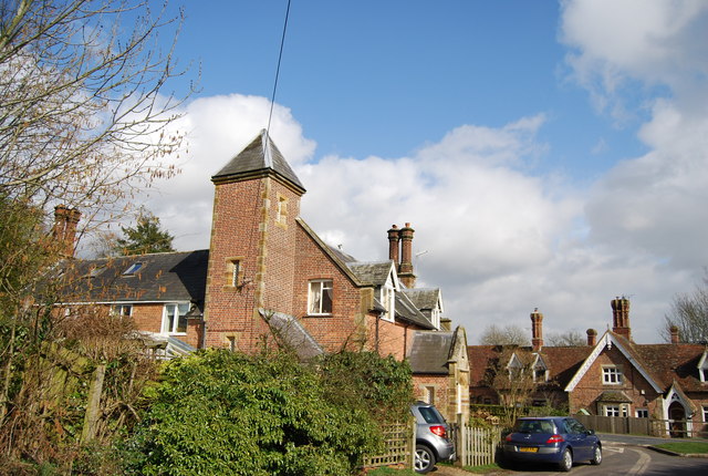
Ketley Pond Images

Images are sourced within 2km of 51.061991/0.42673769 or Grid Reference TQ7031. Thanks to Geograph Open Source API. All images are credited.

The Royal Oak, Flimwell Pub beside the busy A21.
The Royal Oak, Flimwell
Pub beside the busy A21.
Flimwell crossroads Looking from A268 Hawkhurst Road onto a busy junction with the A21 (left and right) and High Street (ahead). It was proposed to bypass this junction to the East of here, including a by pass of Hurst Green, to improve the A21 to Hastings, however this was recently completely scrapped and numerous houses compulsory purchased for millions decades ago are now being sold.
Flimwell crossroads
Looking from A268 Hawkhurst Road onto a busy junction with the A21 (left and right) and High Street (ahead). It was proposed to bypass this junction to the East of here, including a by pass of Hurst Green, to improve the A21 to Hastings, however this was recently completely scrapped and numerous houses compulsory purchased for millions decades ago are now being sold.
Country Furniture Barns Ltd Furniture shop on Hawkhurst Road.
Country Furniture Barns Ltd
Furniture shop on Hawkhurst Road.
Coach Holidays As the name suggests the firm provides coach holidays to Europe.
Coach Holidays
As the name suggests the firm provides coach holidays to Europe.
Coach Holidays As the name suggests the firm provides coach holidays to Europe.
Coach Holidays
As the name suggests the firm provides coach holidays to Europe.
A21 at Flimwell The A21 is a 63 mile major trunk road running  from Lewisham in Greater London to Hastings, East Sussex. The road is broken up by the M25 motorway between junction 4 and 5.
Wikipedia <span class="nowrap"><a title="http://en.wikipedia.org/wiki/A21_road_(England)" rel="nofollow ugc noopener" href="http://en.wikipedia.org/wiki/A21_road_(England)">Link</a><img style="margin-left:2px;" alt="External link" title="External link - shift click to open in new window" src="https://s1.geograph.org.uk/img/external.png" width="10" height="10"/></span>
A21 at Flimwell
The A21 is a 63 mile major trunk road running from Lewisham in Greater London to Hastings, East Sussex. The road is broken up by the M25 motorway between junction 4 and 5. Wikipedia LinkExternal link
Houses by the A21 On London Road opposite <a href="https://www.geograph.org.uk/photo/2318995">TQ7131 : The Royal Oak, Flimwell</a>
Houses by the A21
On London Road opposite TQ7131 : The Royal Oak, Flimwell
Mick Gould Commercials Breakdown recovery and repair workshop for trucks. The company has a fleet or distinct American style red recovery trucks.
Mick Gould Commercials
Breakdown recovery and repair workshop for trucks. The company has a fleet or distinct American style red recovery trucks.
Providence Chapel Converted chapel on the B2087 Flimwell High Street.
Providence Chapel
Converted chapel on the B2087 Flimwell High Street.
No. 6 and 5 Red Oast Cottages On the B2087 Flimwell High Street is three pairs of cottages. This is the third pair.
No. 6 and 5 Red Oast Cottages
On the B2087 Flimwell High Street is three pairs of cottages. This is the third pair.
A21 to Flimwell This road leads up from Hurst Green towards Lamberhurst.
It winds past Ringden Wood on the right.
A21 to Flimwell
This road leads up from Hurst Green towards Lamberhurst. It winds past Ringden Wood on the right.
A268 junction with A21 The A268 finishes here at Flimwell. So the choices at this crossroads are right towards Tunbridge Wells or left towards Hastings. Straight across will join the B2087 towards Ticehurst.
A268 junction with A21
The A268 finishes here at Flimwell. So the choices at this crossroads are right towards Tunbridge Wells or left towards Hastings. Straight across will join the B2087 towards Ticehurst.
B2087 west of Flimwell The name Union Street appears on the maps but it doesn't appear to refer to the B2087 at this point, so it must be the name of the hamlet?
B2087 west of Flimwell
The name Union Street appears on the maps but it doesn't appear to refer to the B2087 at this point, so it must be the name of the hamlet?
Entering Flimwell, A21
Country Furniture and Accessories
Royal Oak Public House, Flimwell The third most popular pub name, it became popular after Charles II escaped during the English Civil War by hiding behind an Oak tree.
Royal Oak Public House, Flimwell
The third most popular pub name, it became popular after Charles II escaped during the English Civil War by hiding behind an Oak tree.
Flimwell Lodge Grade II listed. <span class="nowrap"><a title="http://www.britishlistedbuildings.co.uk/en-414606-flimwell-lodge-ticehurst" rel="nofollow ugc noopener" href="http://www.britishlistedbuildings.co.uk/en-414606-flimwell-lodge-ticehurst">Link</a><img style="margin-left:2px;" alt="External link" title="External link - shift click to open in new window" src="https://s1.geograph.org.uk/img/external.png" width="10" height="10"/></span>
Flimwell Lodge
Grade II listed. LinkExternal link
Show me another place!

Ketley Pond is located at Grid Ref: TQ7031 (Lat: 51.061991, Lng: 0.42673769)

Administrative County: East Sussex

District: Rother

Police Authority: Sussex

What 3 Words

///gossip.trains.inflamed. Near Flimwell, East Sussex

Related Wikis

Combwell Priory

Combwell Priory was a priory near Bedgebury Cross about 10 miles southeast of Tunbridge Wells in Kent, England. == History == This is a Grade II listed...

Flimwell

Flimwell is a village in the civil parish of Ticehurst, in the Rother district of East Sussex, England. It is located close to the border with Kent at...

Ticehurst

Ticehurst is both a village and a large civil parish in the Rother district of East Sussex, England. The parish lies in the upper reaches of both the Bewl...
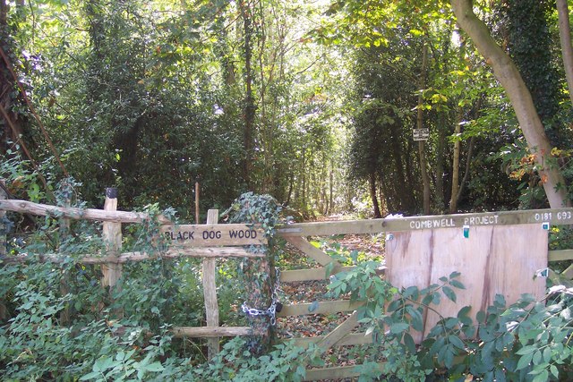
Combwell Wood

Combwell Wood is a 110.6-hectare (273-acre) biological Site of Special Scientific Interest south-east of Tunbridge Wells in Kent. The wood is part of the...

Bedgebury Cross

Bedgebury Cross is a hamlet in the civil parish of Goudhurst. It is located, in the Bedgebury Forest area of Kent, England. It is located on the B2079...

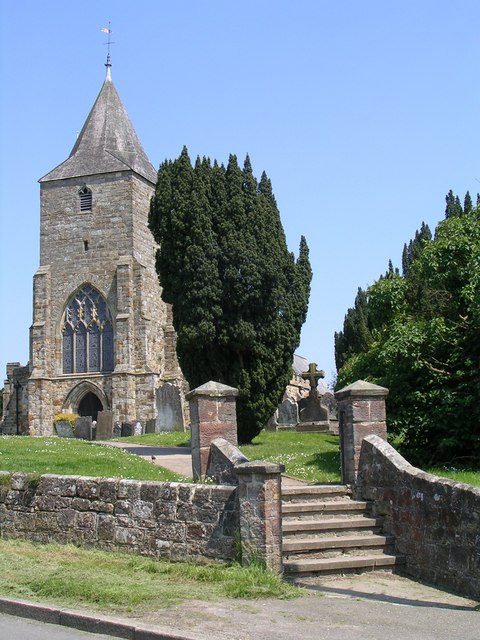
St Mary's Church, Ticehurst

St Mary's Church is a 14th-century parish church dedicated to St Mary the Virgin in Ticehurst, East Sussex, England. Part of the Diocese of Chichester...

Bewl Water

Bewl Water is a reservoir in the valley of the River Bewl, straddling the boundary between Kent and East Sussex in England. It is about 2 miles (3.2 km...

Bedgebury National Pinetum

Bedgebury National Pinetum at Bedgebury, Kent, in the United Kingdom, is a recreational and conservational arboretum managed by Forestry England that was...

Nearby Amenities

Located within 500m of 51.061991,0.42673769
Barrier: stile
Lat/Long: 51.0602563/0.4317031
Post Box
Note: Its a new box but is sealed off?
Operator: Royal Mail
Operator Wikidata: Q638098
Post Box Type: lamp
Ref: TN5 316
Ref GB Uprn: 10015446763
Royal Cypher: EIIR
Royal Cypher Wikidata: Q33102113
Lat/Long: 51.0604016/0.4257806
Parking
Lat/Long: 51.0619979/0.4247653
Power: pole
Lat/Long: 51.0588624/0.422641
Power: pole
Lat/Long: 51.0594574/0.4243737
Power: pole
Lat/Long: 51.059798/0.4253474
Power: pole
Lat/Long: 51.0601604/0.4263934
Power: pole
Lat/Long: 51.0604925/0.4272303
Power: pole
Lat/Long: 51.0612191/0.4290891
Power: pole
Lat/Long: 51.0619473/0.4309317
Power: pole
Lat/Long: 51.0625761/0.4317445
Bench
Lat/Long: 51.0600074/0.4209761
The data included in this document is from www.openstreetmap.org. The data is made available under ODbL.

Have you been to Ketley Pond?

Leave your review of Ketley Pond below (or comments, questions and feedback).