Wardsdown Wood
Wood, Forest in Sussex Rother
England
Wardsdown Wood
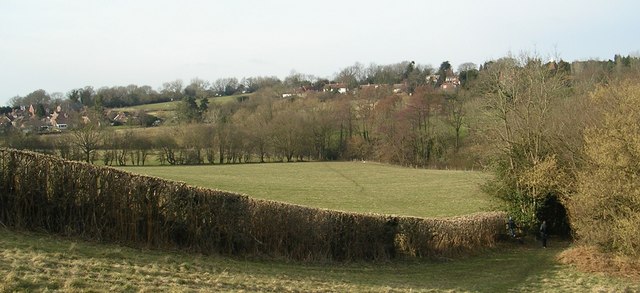
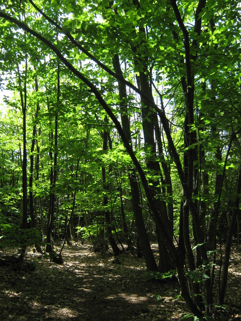
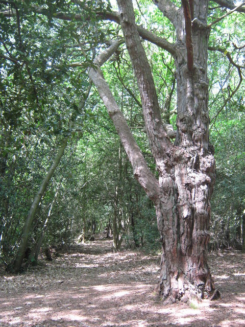
Wardsdown Wood is a picturesque forest located in the county of Sussex, in southeastern England. Stretching across an area of approximately 500 acres, this woodland is nestled amidst the rolling hills and lush greenery that characterizes the region. It is a popular destination for nature enthusiasts and outdoor lovers seeking tranquility and stunning natural beauty.
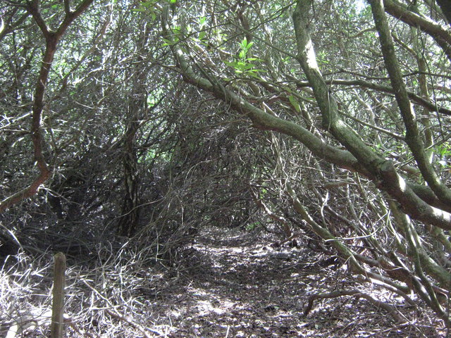
The wood is predominantly composed of native deciduous trees such as oak, beech, and birch, which form a dense canopy overhead. This creates a serene and shady atmosphere, perfect for leisurely walks and exploration. The forest floor is covered with a diverse array of wildflowers, ferns, and mosses, adding vibrant colors to the landscape throughout the seasons.
Wardsdown Wood boasts an impressive biodiversity, housing a variety of wildlife species. Birdwatchers can spot several avian species, including woodpeckers, owls, and numerous songbirds. Small mammals like rabbits, squirrels, and hedgehogs can also be observed scurrying through the undergrowth. Additionally, the wood is home to various insects, including butterflies and beetles.
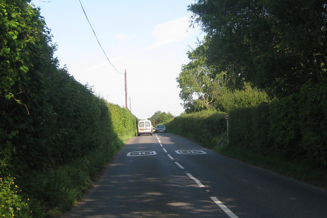
The forest is crisscrossed by a network of well-maintained trails, providing visitors with the opportunity to explore its natural wonders. These paths wind through ancient trees and lead to secluded clearings, offering peaceful spots for picnics or simply enjoying the serenity of the surroundings. The wood also features a small stream, adding to its charm and providing a refreshing place to rest and enjoy the sounds of nature.
Overall, Wardsdown Wood in Sussex is a captivating destination for anyone seeking a tranquil retreat in the heart of nature. Its breathtaking scenery, diverse wildlife, and peaceful ambiance make it a must-visit location for nature enthusiasts and those seeking solace in the great outdoors.
If you have any feedback on the listing, please let us know in the comments section below.
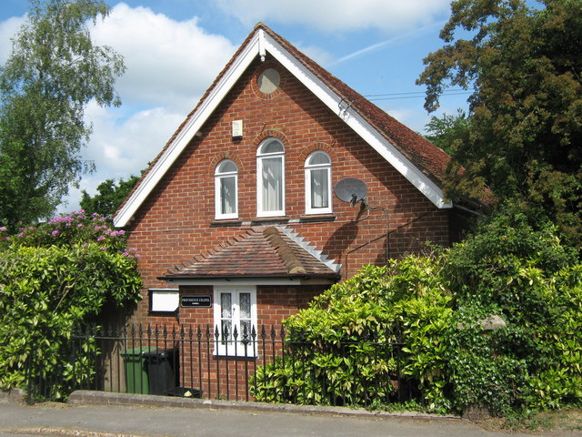
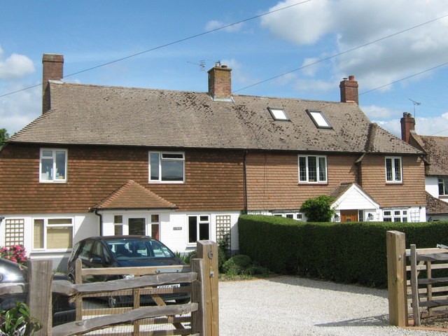
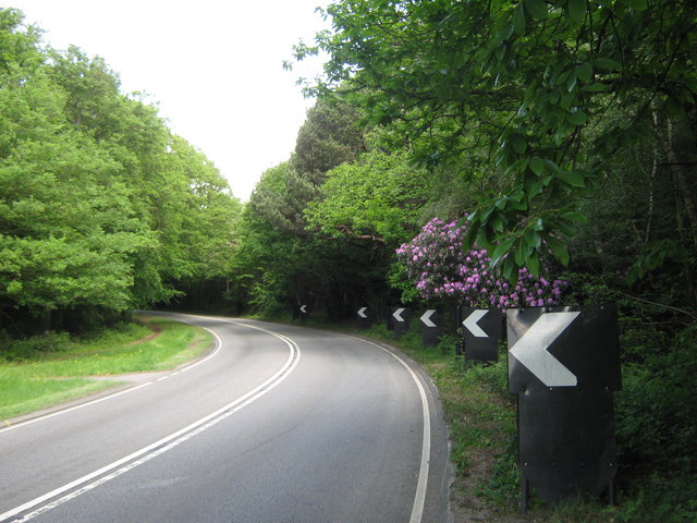
Wardsdown Wood Images
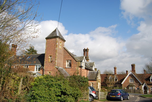
Images are sourced within 2km of 51.058138/0.43729672 or Grid Reference TQ7031. Thanks to Geograph Open Source API. All images are credited.
Wardsdown Wood is located at Grid Ref: TQ7031 (Lat: 51.058138, Lng: 0.43729672)
Administrative County: East Sussex
District: Rother
Police Authority: Sussex
What 3 Words
///exacts.twit.easily. Near Flimwell, East Sussex
Nearby Locations
Related Wikis
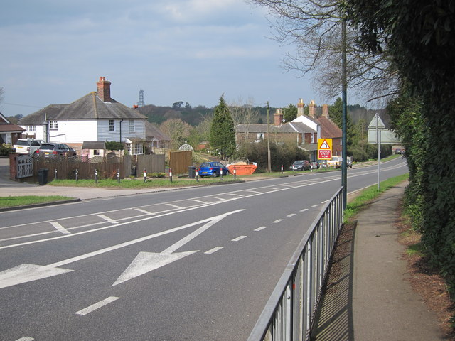
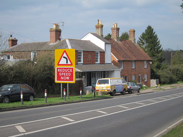
Flimwell
Flimwell is a village in the civil parish of Ticehurst, in the Rother district of East Sussex, England. It is located close to the border with Kent at...

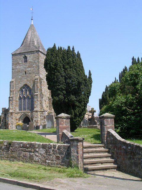
St Augustine's Church, Flimwell
St Augustine's Church is the Anglican parish church of Flimwell, a village in the Rother district of East Sussex, England. It was consecrated in 1839 after...

Combwell Priory
Combwell Priory was a priory near Bedgebury Cross about 10 miles southeast of Tunbridge Wells in Kent, England. == History == This is a Grade II listed...
Ticehurst
Ticehurst is both a village and a large civil parish in the Rother district of East Sussex, England. The parish lies in the upper reaches of both the Bewl...

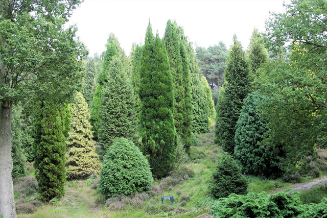
Bedgebury Forest
Bedgebury Forest is a 10.5 square kilometres (2,600 acres) forest surrounding Bedgebury National Pinetum, near Flimwell in Kent. In contrast to the National...

Bedgebury National Pinetum
Bedgebury National Pinetum at Bedgebury, Kent, in the United Kingdom, is a recreational and conservational arboretum managed by Forestry England that was...
Bedgebury Cross
Bedgebury Cross is a hamlet in the civil parish of Goudhurst. It is located, in the Bedgebury Forest area of Kent, England. It is located on the B2079...
St Mary's Church, Ticehurst
St Mary's Church is a 14th-century parish church dedicated to St Mary the Virgin in Ticehurst, East Sussex, England. Part of the Diocese of Chichester...
Nearby Amenities
Located within 500m of 51.058138,0.43729672Have you been to Wardsdown Wood?
Leave your review of Wardsdown Wood below (or comments, questions and feedback).