Under the Wood
Settlement in Kent Canterbury
England
Under the Wood
Under the Wood is a small village located in the county of Kent, England. Situated in the picturesque countryside, it is surrounded by lush green fields and woodlands, offering residents and visitors a peaceful and idyllic setting. The village is nestled within the larger community of Kent, benefiting from the amenities and services of the nearby towns and cities.
The village is home to a close-knit community, known for its friendly and welcoming atmosphere. The residents take great pride in maintaining the natural beauty of the area, evident in the well-kept gardens and charming cottages that line the streets. There is a strong sense of community spirit, with regular events and gatherings organized by local groups and organizations.
Despite its small size, Under the Wood boasts a number of amenities to cater to its residents' needs. These include a local village hall, where various activities and social events take place, providing a hub for the community. Additionally, there is a small convenience store that serves as a one-stop shop for everyday essentials.
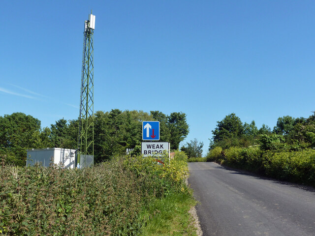
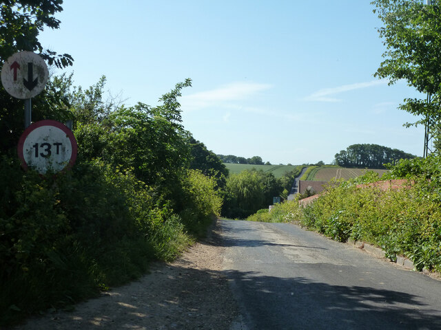
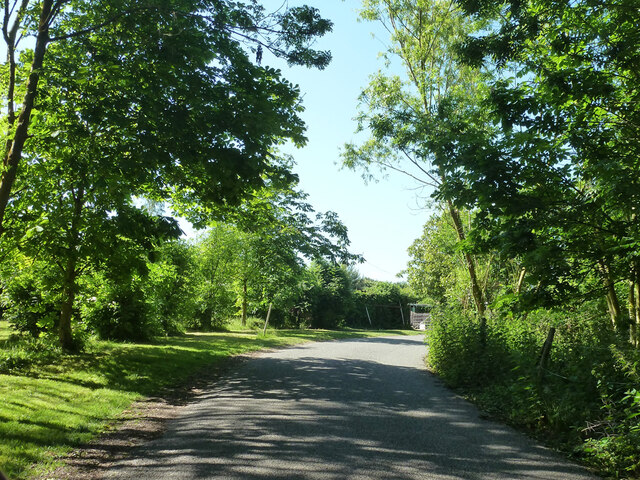
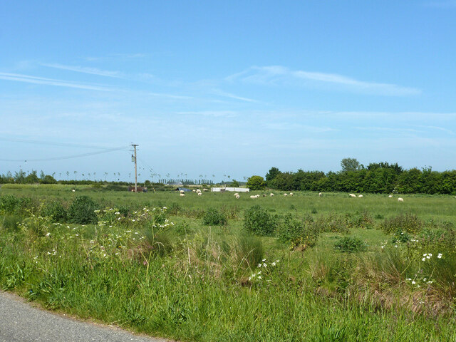
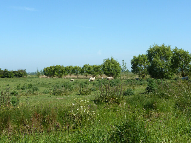
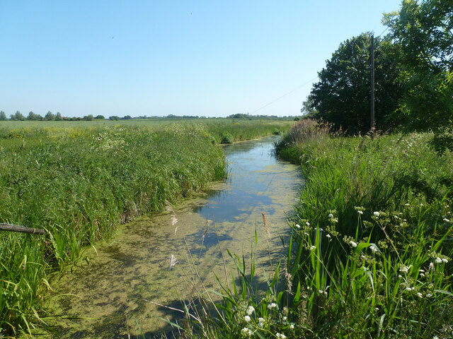
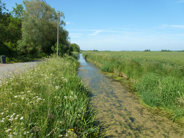
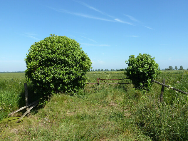
For those seeking outdoor activities, Under the Wood offers numerous opportunities for exploration and recreation. The surrounding woodlands provide ample walking and hiking trails, perfect for nature enthusiasts and dog walkers. The nearby countryside offers stunning views and is ideal for leisurely bike rides or picnics.
In summary, Under the Wood is a charming village in the heart of Kent, known for its natural beauty, strong community spirit, and peaceful ambiance. It provides a tranquil escape from the bustle of larger towns and cities, while still offering essential amenities and a range of outdoor activities for residents and visitors alike.
If you have any feedback on the listing, please let us know in the comments section below.
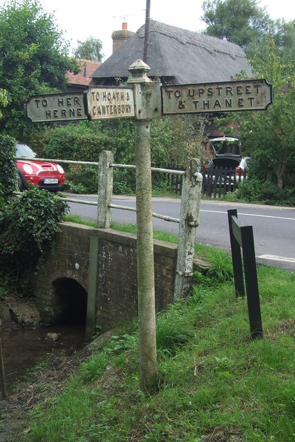
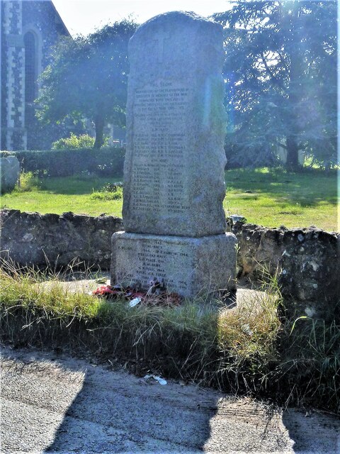
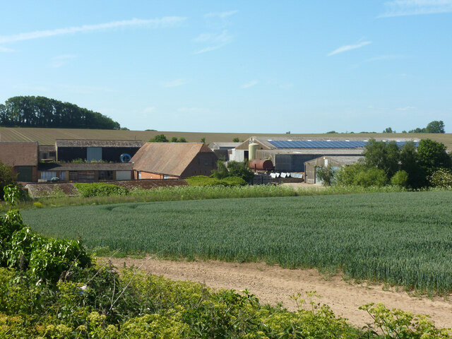
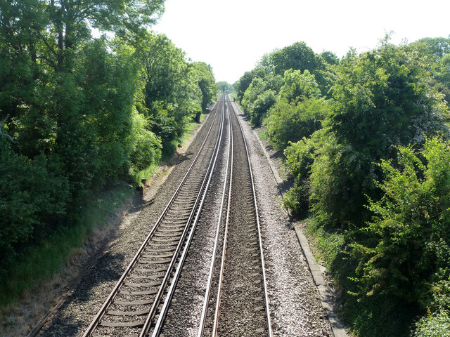
Under the Wood Images
Images are sourced within 2km of 51.35422/1.187028 or Grid Reference TR2266. Thanks to Geograph Open Source API. All images are credited.
![Hillborough buildings [1] The church of St Mary the Virgin in Reculver Lane was built in 1878. Constructed, as a Gothic Revival church in the Early English style, of knapped flint with limestone dressings under a tile roof. The south doorway is a 13th century one reused from the ancient church at Reculver as are a few stones at the junction of the nave and chancel. Listed, grade II, with details at: <span class="nowrap"><a title="https://historicengland.org.uk/listing/the-list/list-entry/1318906" rel="nofollow ugc noopener" href="https://historicengland.org.uk/listing/the-list/list-entry/1318906">Link</a><img style="margin-left:2px;" alt="External link" title="External link - shift click to open in new window" src="https://s1.geograph.org.uk/img/external.png" width="10" height="10"/></span>
Hillborough is a suburb of the town of Herne Bay, a seaside town on the Thames Estuary, some 6 miles north of Canterbury and about 4 miles east of Whitstable. It neighbours the ancient villages of Herne and Reculver.](https://s1.geograph.org.uk/geophotos/07/05/84/7058417_ad51439f.jpg)
![Hillborough buildings [2] Part of the churchyard.
The church of St Mary the Virgin in Reculver Lane was built in 1878. Constructed, as a Gothic Revival church in the Early English style, of knapped flint with limestone dressings under a tile roof. The south doorway is a 13th century one reused from the ancient church at Reculver as are a few stones at the junction of the nave and chancel. Listed, grade II, with details at: <span class="nowrap"><a title="https://historicengland.org.uk/listing/the-list/list-entry/1318906" rel="nofollow ugc noopener" href="https://historicengland.org.uk/listing/the-list/list-entry/1318906">Link</a><img style="margin-left:2px;" alt="External link" title="External link - shift click to open in new window" src="https://s1.geograph.org.uk/img/external.png" width="10" height="10"/></span>
Hillborough is a suburb of the town of Herne Bay, a seaside town on the Thames Estuary, some 6 miles north of Canterbury and about 4 miles east of Whitstable. It neighbours the ancient villages of Herne and Reculver.](https://s3.geograph.org.uk/geophotos/07/05/84/7058431_dba5ff46.jpg)
![Hillborough buildings [3] The Reculver Church of England Primary School in Reculver Lane.
Hillborough is a suburb of the town of Herne Bay, a seaside town on the Thames Estuary, some 6 miles north of Canterbury and about 4 miles east of Whitstable. It neighbours the ancient villages of Herne and Reculver.](https://s3.geograph.org.uk/geophotos/07/05/84/7058435_39cccef0.jpg)
![Hillborough buildings [4] St Mary&#039;s Cottage is, probably, 17th century. Now partly stuccoed and partly pebbledashed, all under a thatch roof. Listed, grade II, with details at: <span class="nowrap"><a title="https://historicengland.org.uk/listing/the-list/list-entry/1336864" rel="nofollow ugc noopener" href="https://historicengland.org.uk/listing/the-list/list-entry/1336864">Link</a><img style="margin-left:2px;" alt="External link" title="External link - shift click to open in new window" src="https://s1.geograph.org.uk/img/external.png" width="10" height="10"/></span>
Hillborough is a suburb of the town of Herne Bay, a seaside town on the Thames Estuary, some 6 miles north of Canterbury and about 4 miles east of Whitstable. It neighbours the ancient villages of Herne and Reculver.](https://s0.geograph.org.uk/geophotos/07/05/84/7058440_adb230a3.jpg)
![Hillborough buildings [5] Forge House, Reculver Lane, is an 18th century building. Constructed of rendered brick under a tile roof. There is a modern extension on the right. Listed, grade II, with details at: <span class="nowrap"><a title="https://historicengland.org.uk/listing/the-list/list-entry/1084988" rel="nofollow ugc noopener" href="https://historicengland.org.uk/listing/the-list/list-entry/1084988">Link</a><img style="margin-left:2px;" alt="External link" title="External link - shift click to open in new window" src="https://s1.geograph.org.uk/img/external.png" width="10" height="10"/></span>
Hillborough is a suburb of the town of Herne Bay, a seaside town on the Thames Estuary, some 6 miles north of Canterbury and about 4 miles east of Whitstable. It neighbours the ancient villages of Herne and Reculver.](https://s0.geograph.org.uk/geophotos/07/05/84/7058444_52b8a8a5.jpg)
Under the Wood is located at Grid Ref: TR2266 (Lat: 51.35422, Lng: 1.187028)
Administrative County: Kent
District: Canterbury
Police Authority: Kent
What 3 Words
///drumbeat.mobile.closets. Near Herne Bay, Kent
Nearby Locations
Related Wikis
Marshside, Kent
Marshside is a hamlet in the county of Kent, England. It is in the parish of Chislet alongside the Chislet Marshes southeast of Herne Bay. == Governance... ==

Highstead
Highstead is a village near Chislet, off the A299 road, in the Canterbury District, in the English county of Kent. It is near the town of Herne Bay. Highstead...
Boyden Gate
Boyden Gate is a village in the civil parish of Chislet in Kent, England. == External links == Media related to Boyden Gate at Wikimedia Commons

Hawthorn Corner
Hawthorn Corner is a hamlet near Herne Bay in Kent, England. It is part of the Herne and Broomfield civil parish and consists of a few houses and a sewage...
Grays, Kent
Grays is a hamlet within the civil parish of Chislet, near Canterbury, Kent. It is located to the south of the A299 road and is located on the North Stream...
Chislet Windmill
Chislet windmill was a Grade II listed smock mill in Chislet, Kent, England. It was built in 1744 and burnt down on 15 October 2005. == History == The...
Ford Palace
Ford Palace was a residence of the Archbishops of Canterbury at Ford, about 6.6 miles (10.6 km) north-east of Canterbury and 2.6 miles (4.2 km) south-east...

Church of St Mary the Virgin, Reculver
The Church of St Mary the Virgin, Reculver, is an Anglican church on Reculver Lane in the village of Hillborough, in the parish of Reculver, in north-eastern...
Nearby Amenities
Located within 500m of 51.35422,1.187028Have you been to Under the Wood?
Leave your review of Under the Wood below (or comments, questions and feedback).