Under Tofts
Settlement in Yorkshire
England
Under Tofts
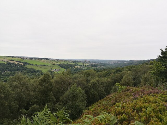
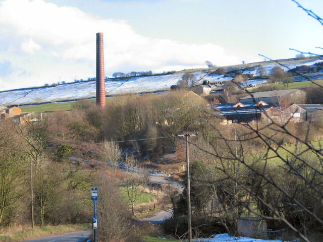
Under Tofts is a small village located in the county of Yorkshire, England. Situated in the picturesque East Riding of Yorkshire, it is nestled amidst rolling hills and surrounded by lush green countryside. The village is known for its tranquil and idyllic setting, attracting visitors seeking a peaceful retreat from the hustle and bustle of city life.
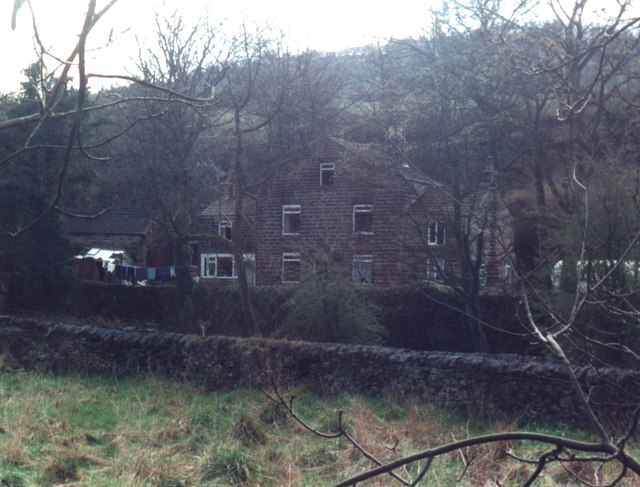
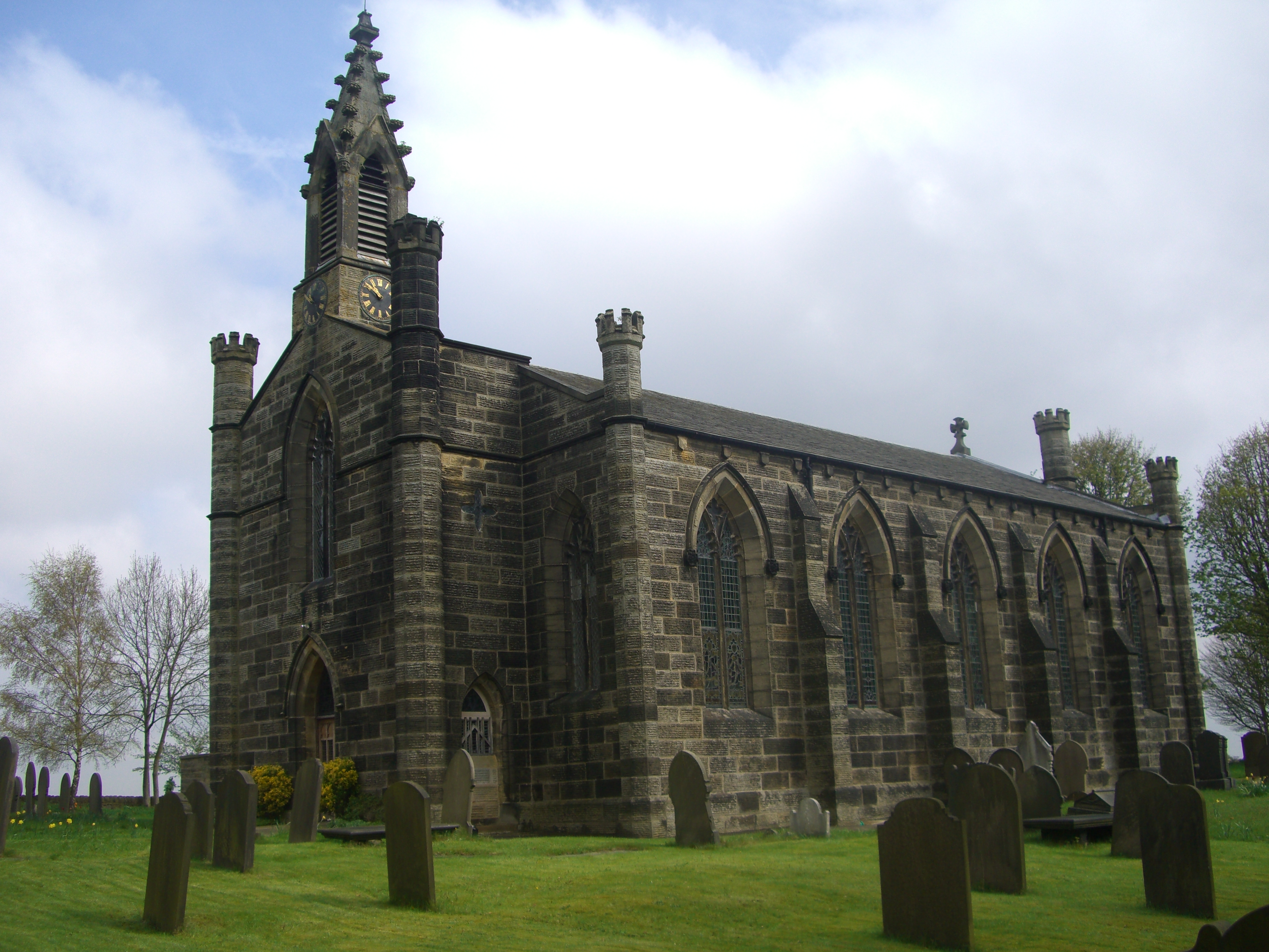
Under Tofts is characterized by its charming and traditional architecture, with many of its buildings dating back several centuries. The village church, St. Mary's, stands as a prominent landmark, showcasing stunning medieval craftsmanship and serving as a testament to the area's rich history.
Despite its small size, Under Tofts offers a range of amenities for both residents and visitors. There is a local pub, The Tofts Arms, which serves as a gathering place for the community and offers a warm welcome to visitors. The village also boasts a primary school, providing education for the local children.
The natural beauty surrounding Under Tofts provides ample opportunities for outdoor activities. The nearby countryside offers numerous walking trails, allowing visitors to explore the stunning landscapes and take in the fresh country air. The village is also conveniently located within a short distance from the Yorkshire Wolds, a designated Area of Outstanding Natural Beauty, where visitors can enjoy breathtaking views and engage in various recreational pursuits.
Overall, Under Tofts offers a peaceful and picturesque setting, making it an ideal destination for those seeking a quiet retreat and a taste of traditional English village life.
If you have any feedback on the listing, please let us know in the comments section below.
Under Tofts Images
Images are sourced within 2km of 53.385521/-1.541099 or Grid Reference SK3087. Thanks to Geograph Open Source API. All images are credited.


Under Tofts is located at Grid Ref: SK3087 (Lat: 53.385521, Lng: -1.541099)
Division: West Riding
Unitary Authority: Sheffield
Police Authority: South Yorkshire
What 3 Words
///larger.vibes.movies. Near Sheffield, South Yorkshire
Nearby Locations
Related Wikis
Christ Church, Stannington
Christ Church is an Anglican place of worship situated on Church Street in the Stannington area of the City of Sheffield, England. It is a Commissioners...
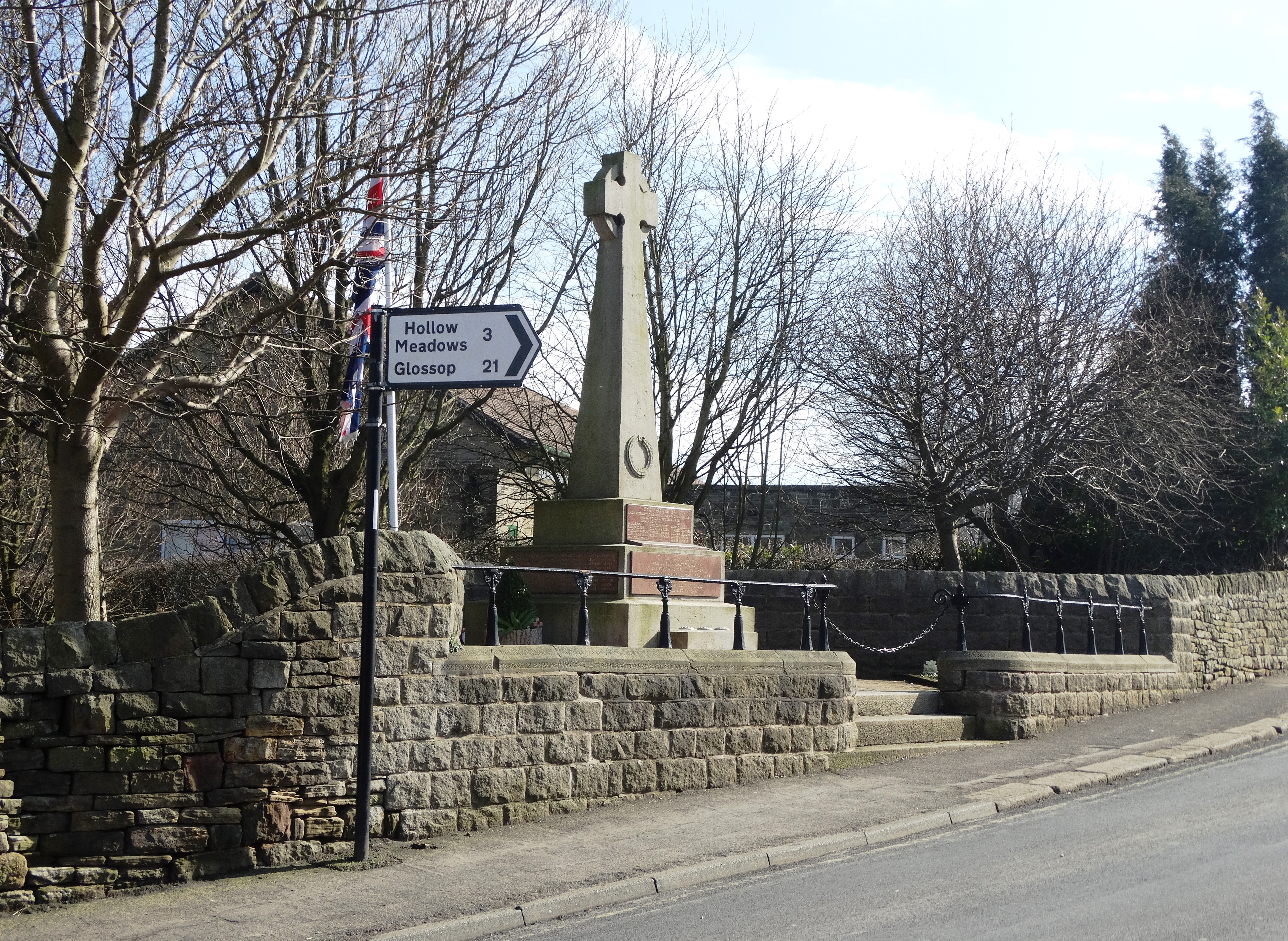
Stannington War Memorial
Stannington War Memorial is a 20th-century grade II listed war memorial in Stannington, Sheffield, South Yorkshire. == Description == The Memorial stands...

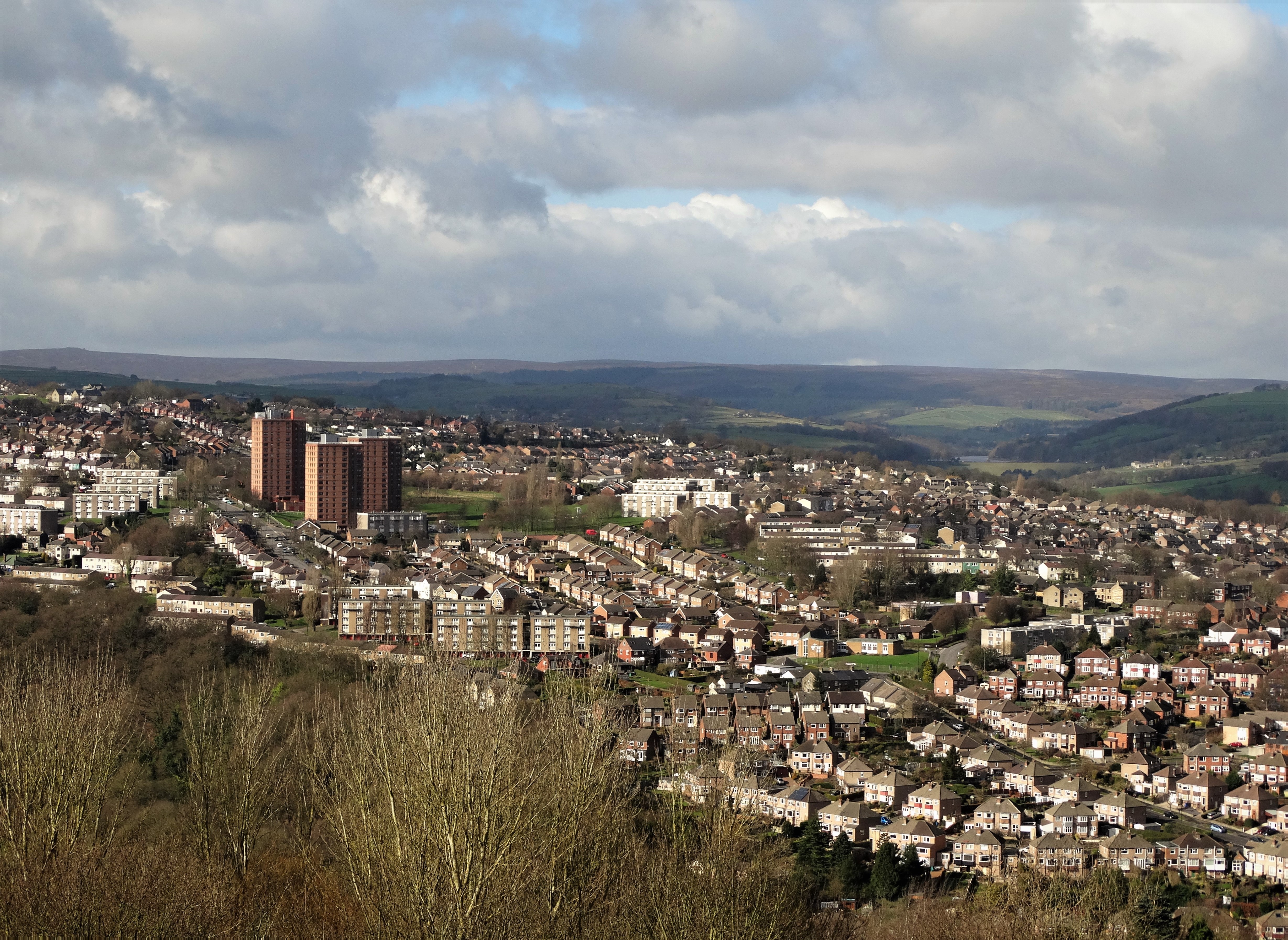
Stannington (ward)
Stannington ward is one of the 28 electoral wards in the City of Sheffield, England. It is located in the western part of the borough, including some westernmost...
2022 Sheffield gas supply outage
The city of Sheffield, England was impacted by a major failure of the local natural gas supply network in December 2022, resulting in a loss of central...
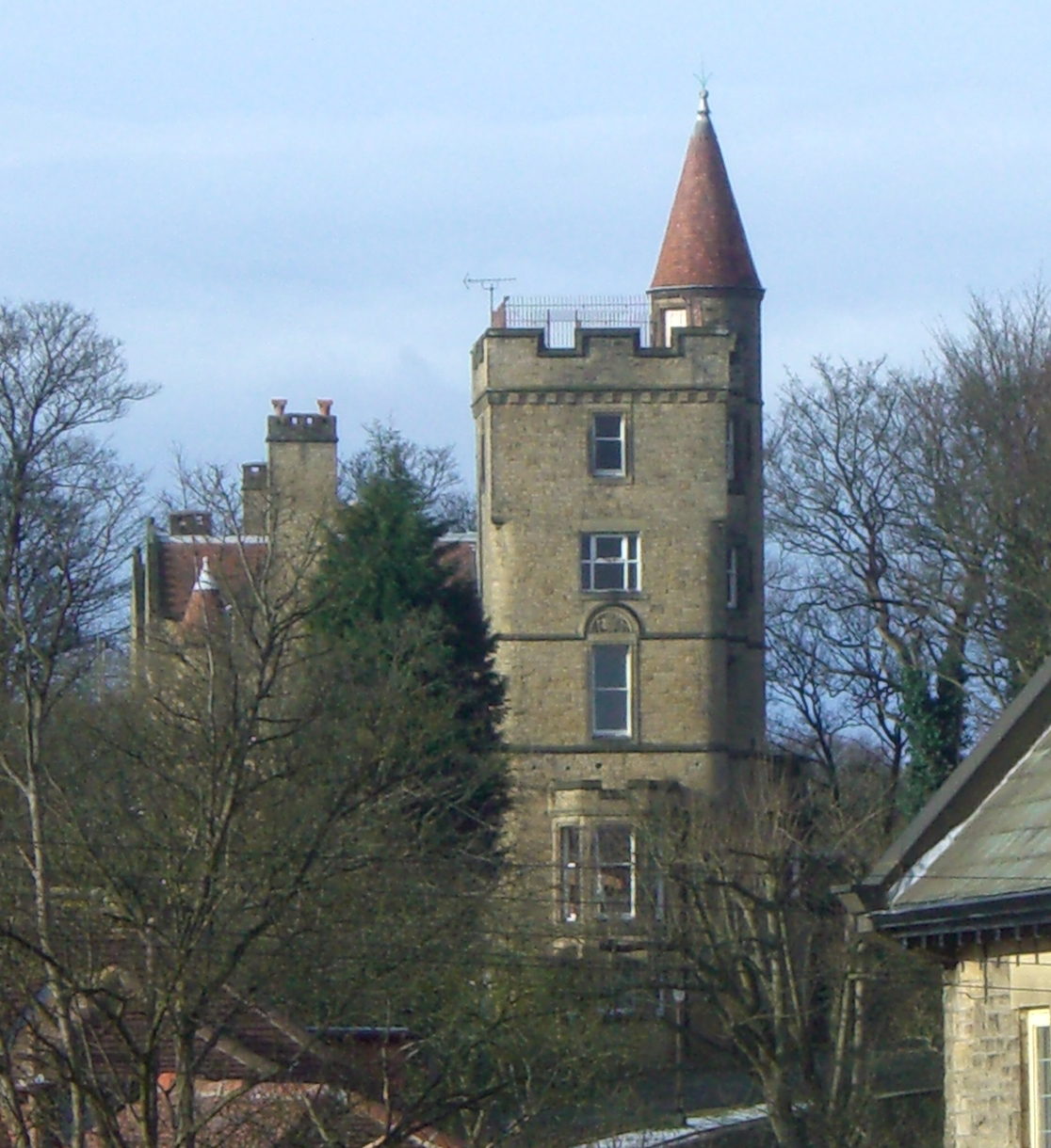
The Towers, Sheffield
The Towers is a small English country house situated in Sheffield, England. The house stands on Sandygate Road close to the junction with Coldwell Lane...
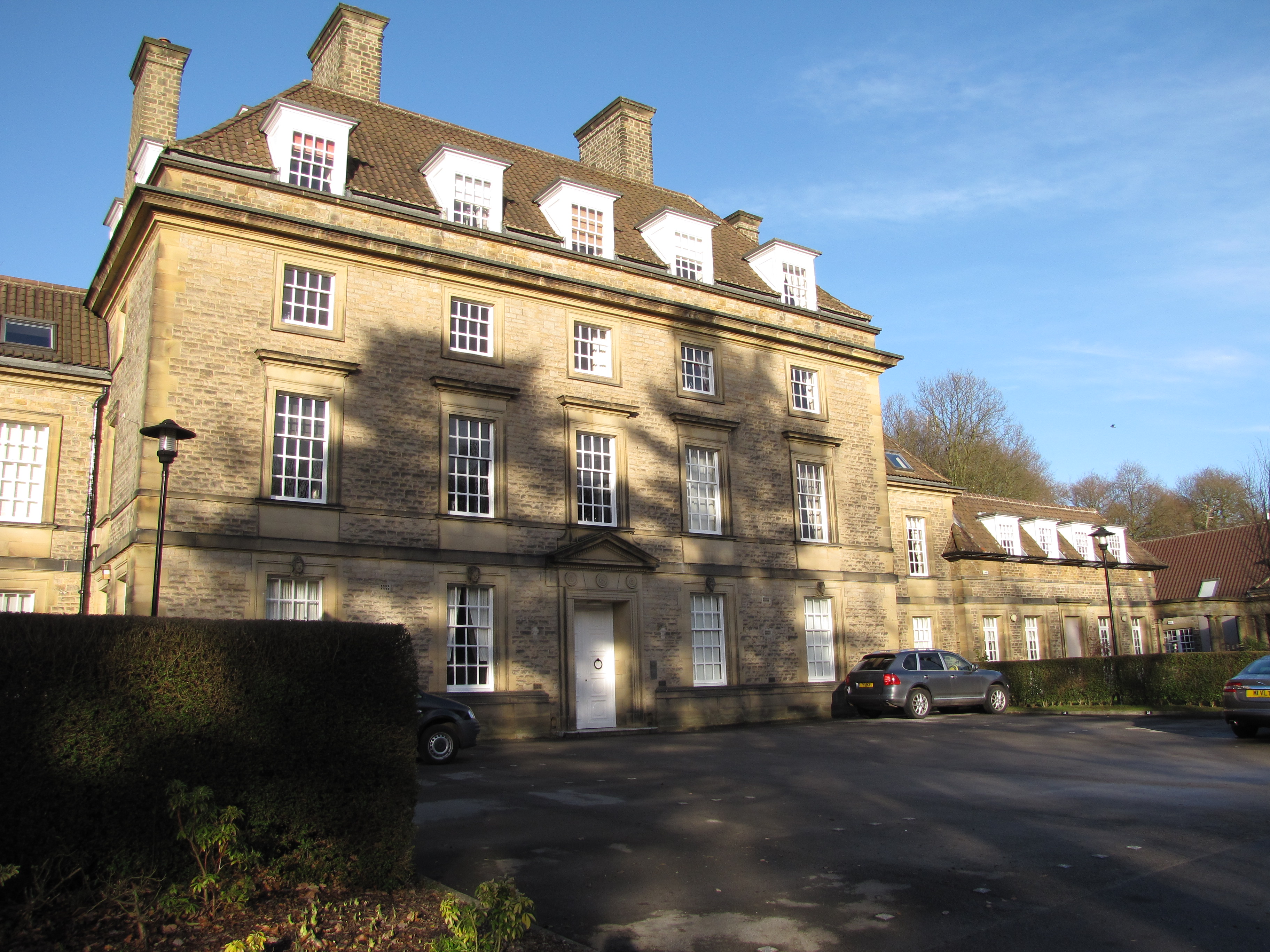
King Edward VII Orthopaedic Hospital, Sheffield
The King Edward VII Orthopaedic Hospital was a hospital in the Rivelin Valley area of Sheffield, England. The hospital closed in 1992 and the building...
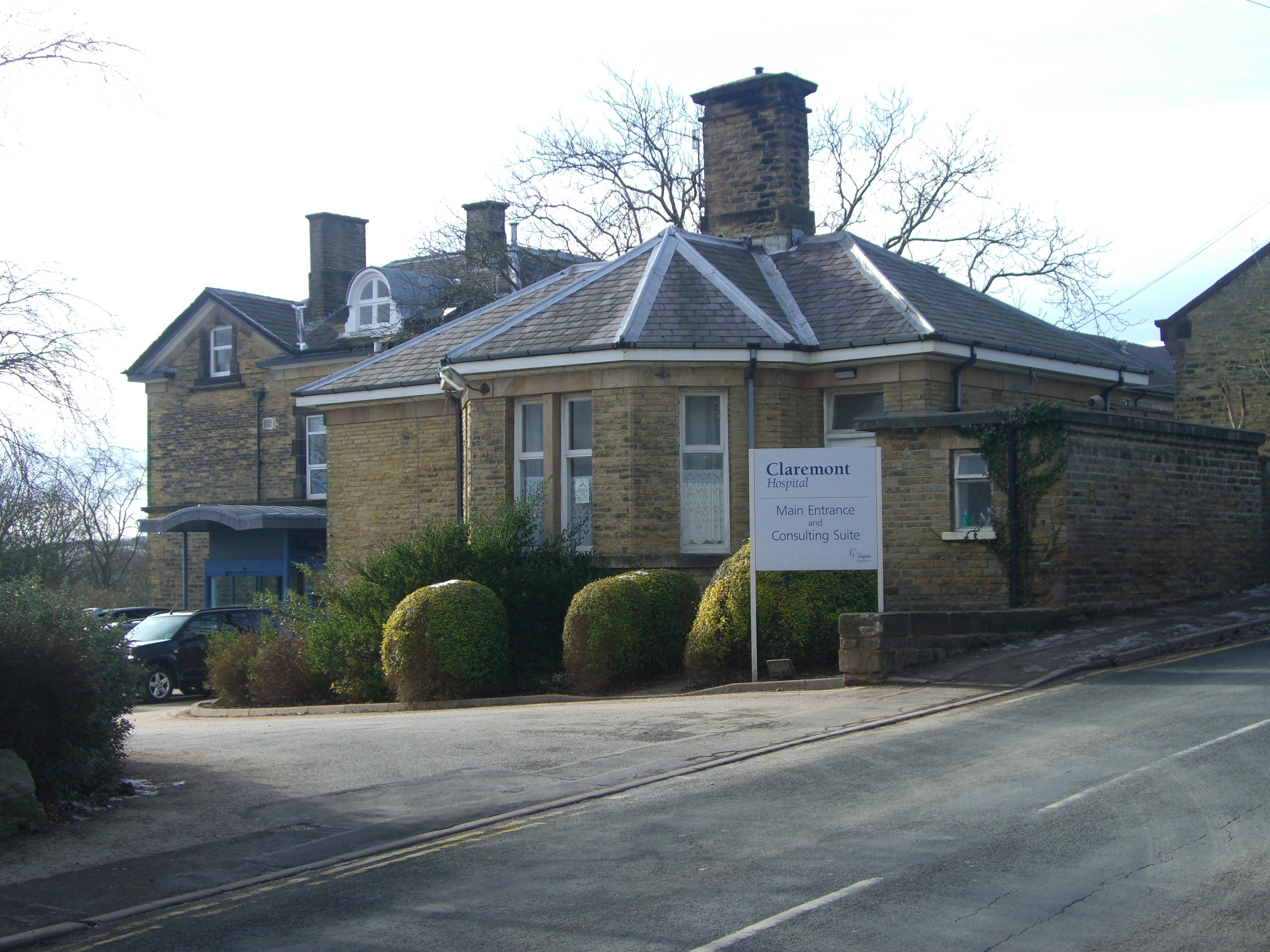
Claremont Hospital
Claremont Hospital is a private hospital situated in the City of Sheffield, England. It is located at 401 Sandygate Road in the suburb of Crosspool. It...

Hallam F.C.
Hallam Football Club is an English football club based in Crosspool, Sheffield, South Yorkshire. Founded in 1860, Hallam is the second oldest association...
Nearby Amenities
Located within 500m of 53.385521,-1.541099Have you been to Under Tofts?
Leave your review of Under Tofts below (or comments, questions and feedback).