Marshside
Settlement in Kent Canterbury
England
Marshside
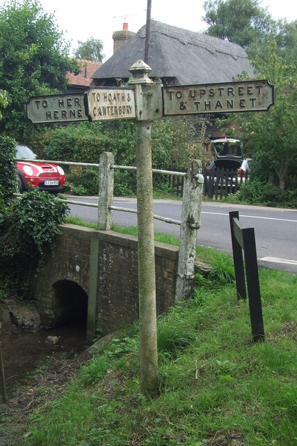
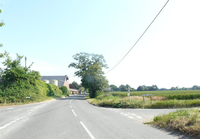
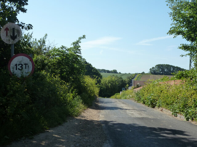
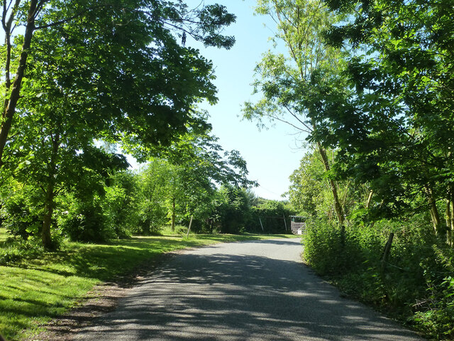
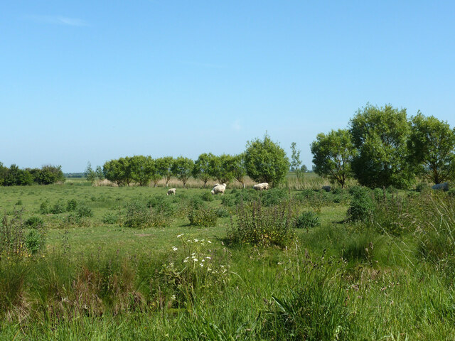
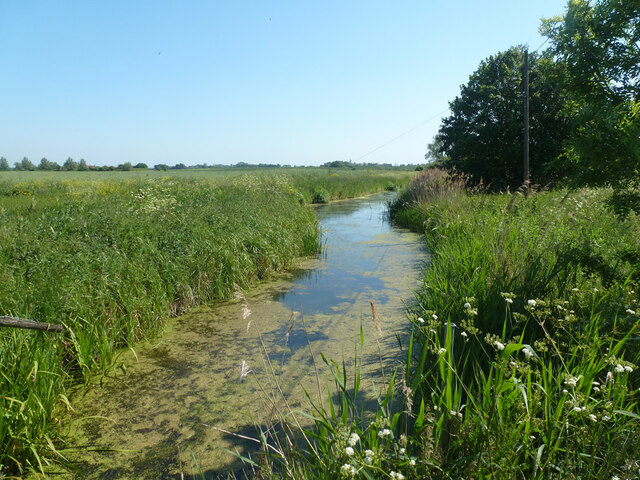
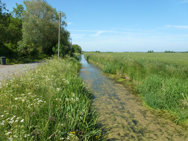
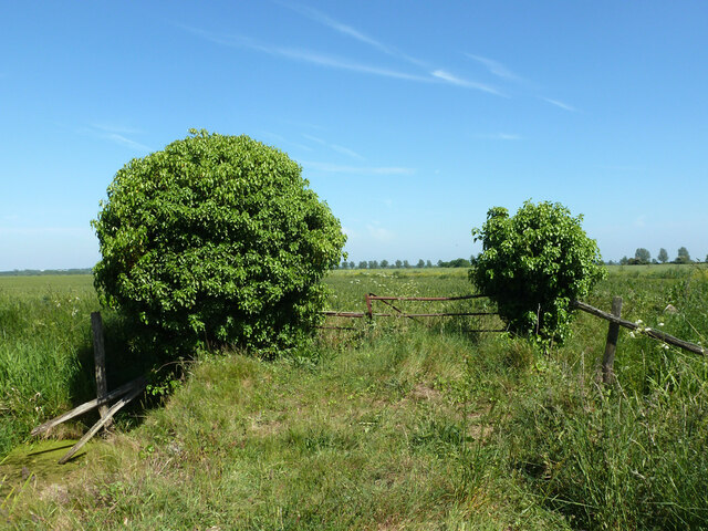
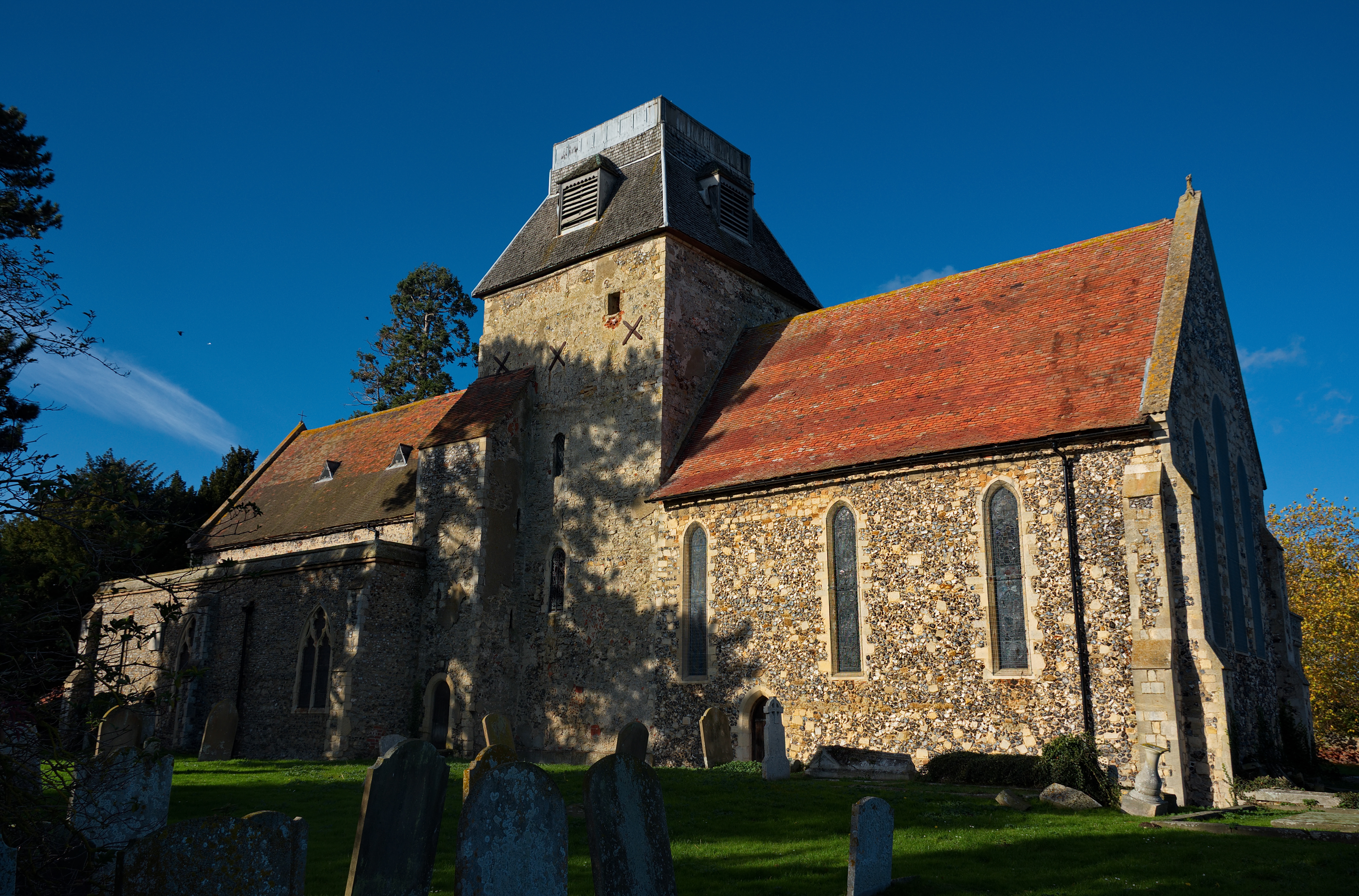
Marshside is a small village located in the district of Thanet, in the county of Kent, England. Situated on the eastern coast of the county, it lies about 3 miles south of the town of Margate. The village is predominantly rural, surrounded by farmland and marshes, which give it its name.
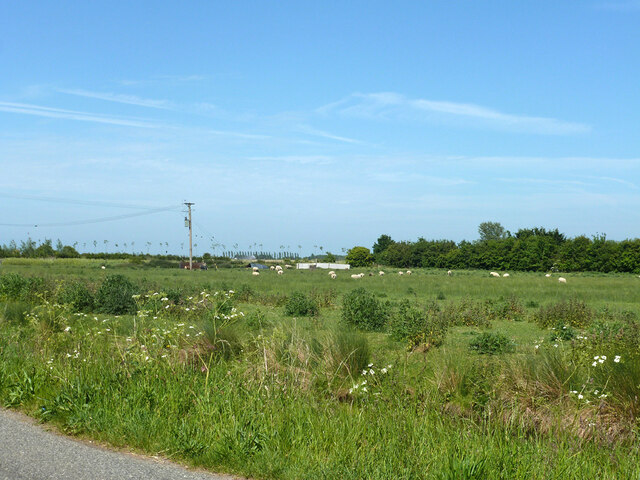
With a population of around 1,000 residents, Marshside has a peaceful and close-knit community atmosphere. The village is known for its picturesque landscapes, offering breathtaking views of the surrounding countryside. The area is particularly popular among birdwatchers and nature enthusiasts due to its proximity to the nearby RSPB Marshside reserve, which is renowned for its diverse bird population.
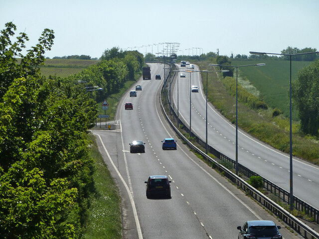
Although Marshside is primarily residential, it is conveniently located near several larger towns and tourist attractions. The vibrant coastal town of Margate is just a short drive away, offering a range of amenities, entertainment venues, and sandy beaches. Additionally, the historic city of Canterbury is within easy reach, providing residents with a wider array of cultural and recreational opportunities.
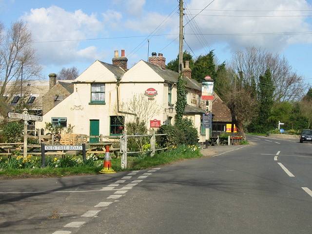
The village itself features a charming traditional pub, The Prince of Wales, which serves as a gathering place for locals and visitors alike. Marshside also benefits from a primary school, providing education for children in the area.
Overall, Marshside is a tranquil village that offers a peaceful and idyllic lifestyle, while still providing easy access to larger towns and attractions in the surrounding area.
If you have any feedback on the listing, please let us know in the comments section below.
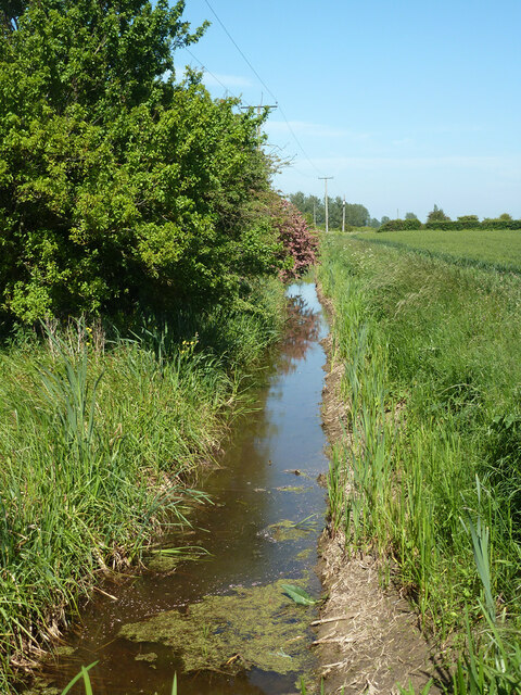
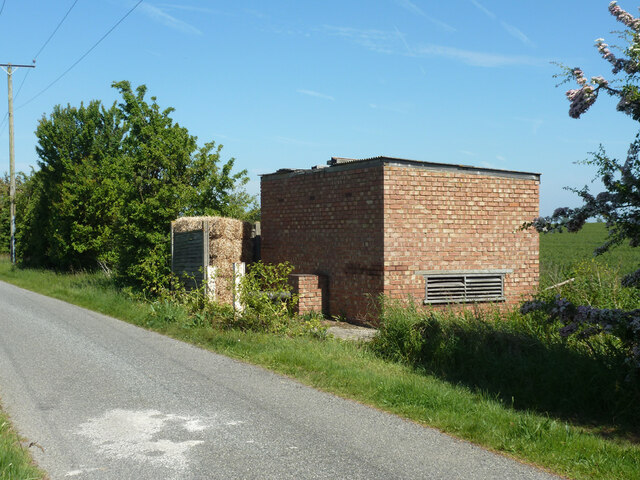
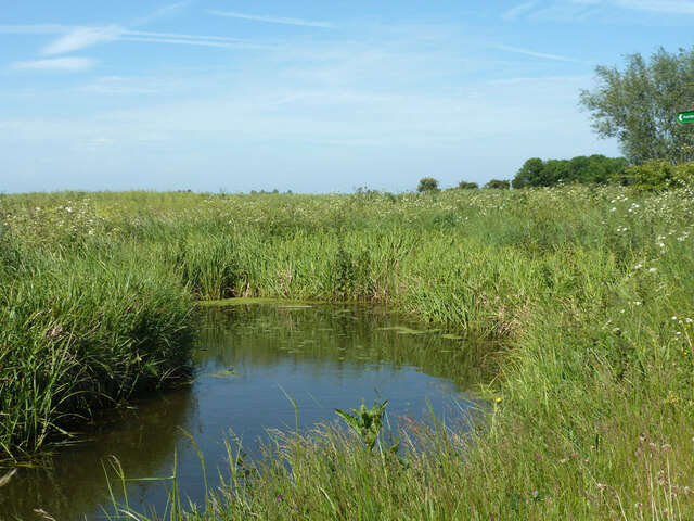
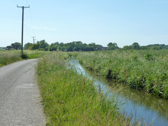
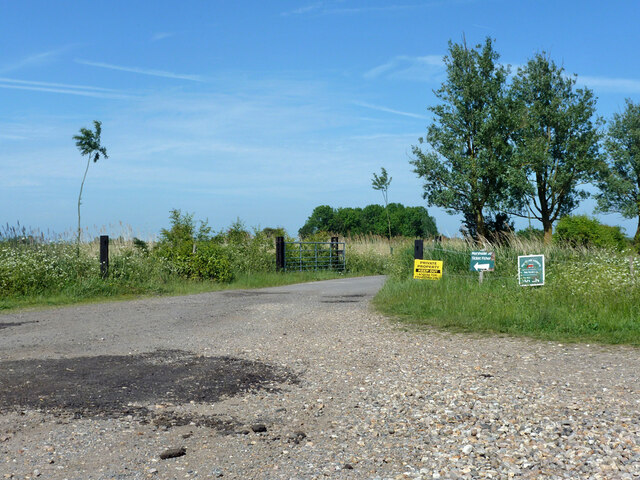
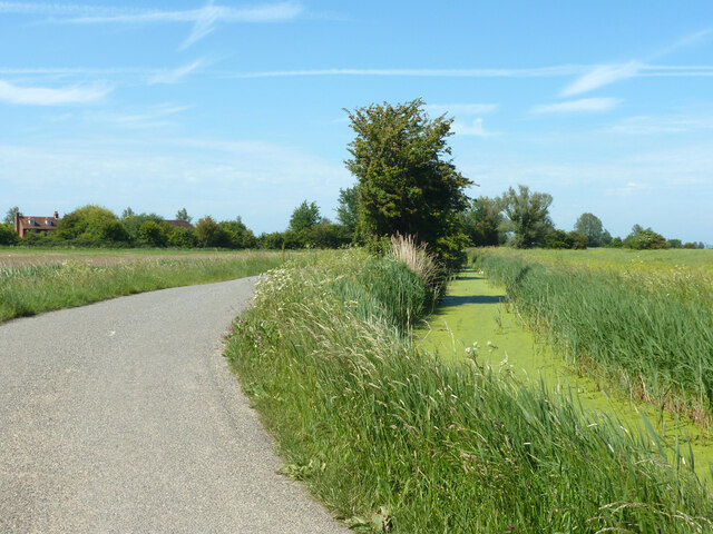
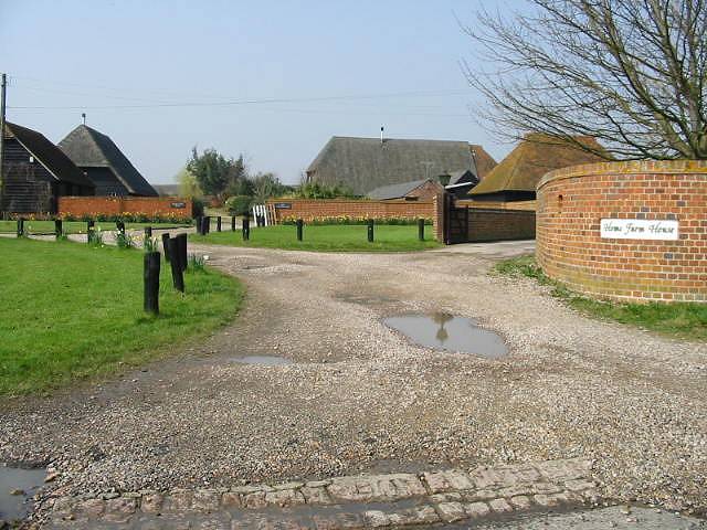
Marshside Images
Images are sourced within 2km of 51.351681/1.194034 or Grid Reference TR2266. Thanks to Geograph Open Source API. All images are credited.
Marshside is located at Grid Ref: TR2266 (Lat: 51.351681, Lng: 1.194034)
Administrative County: Kent
District: Canterbury
Police Authority: Kent
What 3 Words
///junction.acting.laminate. Near Herne Bay, Kent
Nearby Locations
Related Wikis
Marshside, Kent
Marshside is a hamlet in the county of Kent, England. It is in the parish of Chislet alongside the Chislet Marshes southeast of Herne Bay. == Governance... ==
Boyden Gate
Boyden Gate is a village in the civil parish of Chislet in Kent, England. == External links == Media related to Boyden Gate at Wikimedia Commons

Highstead
Highstead is a village near Chislet, off the A299 road, in the Canterbury District, in the English county of Kent. It is near the town of Herne Bay. Highstead...

Grays, Kent
Grays is a hamlet within the civil parish of Chislet, near Canterbury, Kent. It is located to the south of the A299 road and is located on the North Stream...
Chislet Windmill
Chislet windmill was a Grade II listed smock mill in Chislet, Kent, England. It was built in 1744 and burnt down on 15 October 2005. == History == The...
Hawthorn Corner
Hawthorn Corner is a hamlet near Herne Bay in Kent, England. It is part of the Herne and Broomfield civil parish and consists of a few houses and a sewage...
Ford Palace
Ford Palace was a residence of the Archbishops of Canterbury at Ford, about 6.6 miles (10.6 km) north-east of Canterbury and 2.6 miles (4.2 km) south-east...
Chislet
Chislet is an English village and civil parish in northeast Kent between Canterbury and the Isle of Thanet. The parish is the second largest in the district...
Nearby Amenities
Located within 500m of 51.351681,1.194034Have you been to Marshside?
Leave your review of Marshside below (or comments, questions and feedback).