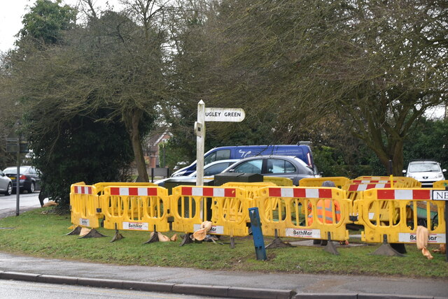
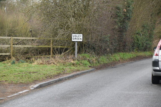
Ugley Green
Settlement in Essex Uttlesford
England
Ugley Green
Ugley Green is a small village located in the Uttlesford district of Essex, England. Situated approximately 3 miles northeast of the market town of Bishop's Stortford, it is nestled in the beautiful countryside of the county.
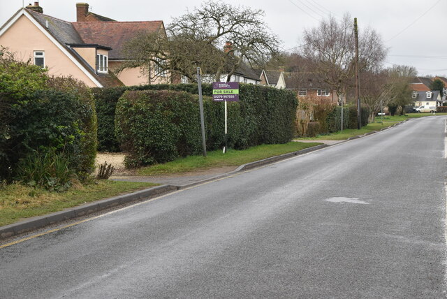
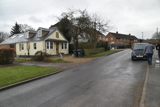
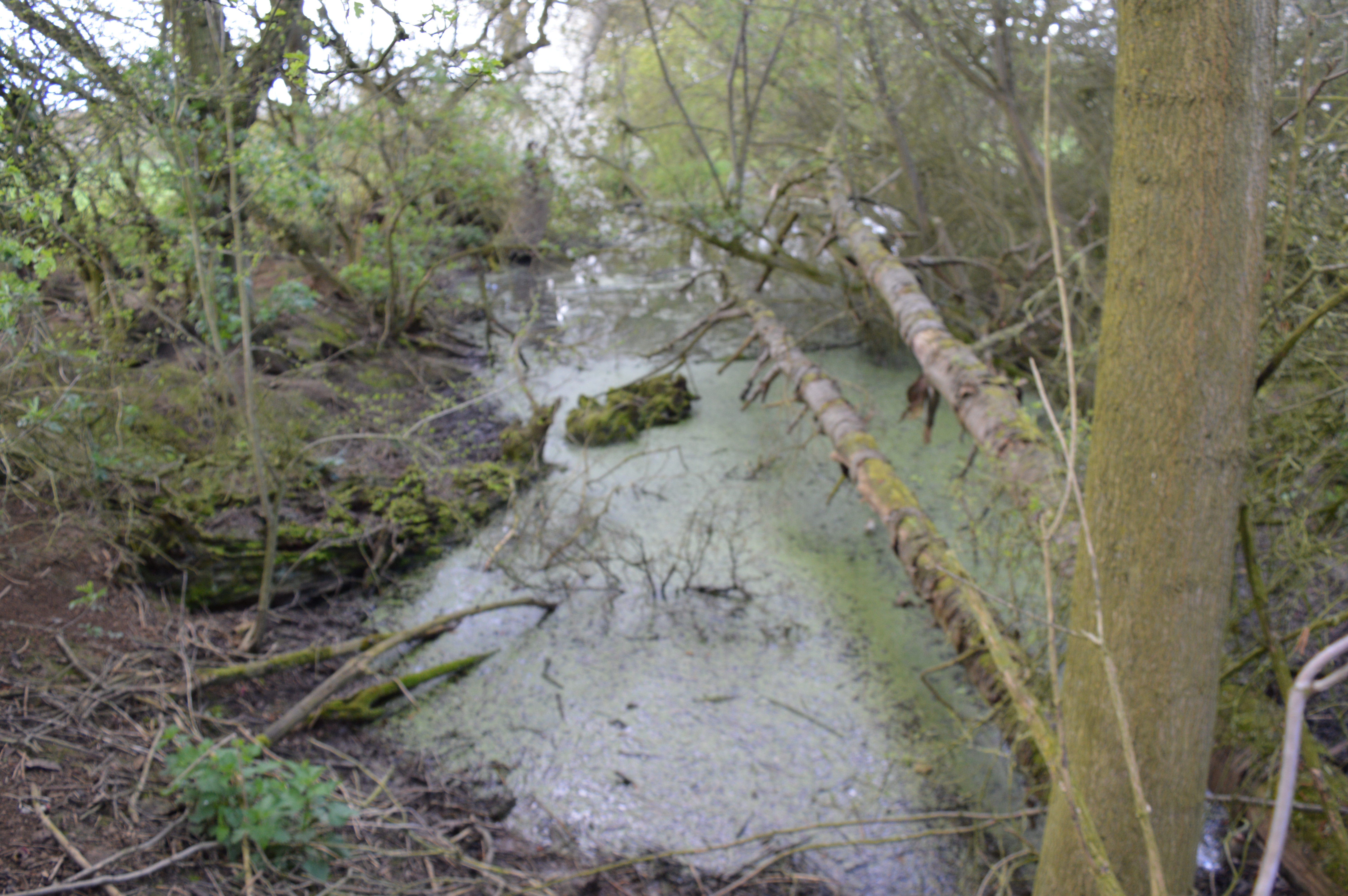
Despite its somewhat unusual name, Ugley Green is a charming and picturesque village with a population of around 500 residents. The village is known for its rural setting, offering a peaceful and tranquil environment for its inhabitants. The surrounding area is characterized by rolling green fields, meandering rivers, and idyllic woodlands, making it a haven for nature lovers and outdoor enthusiasts.
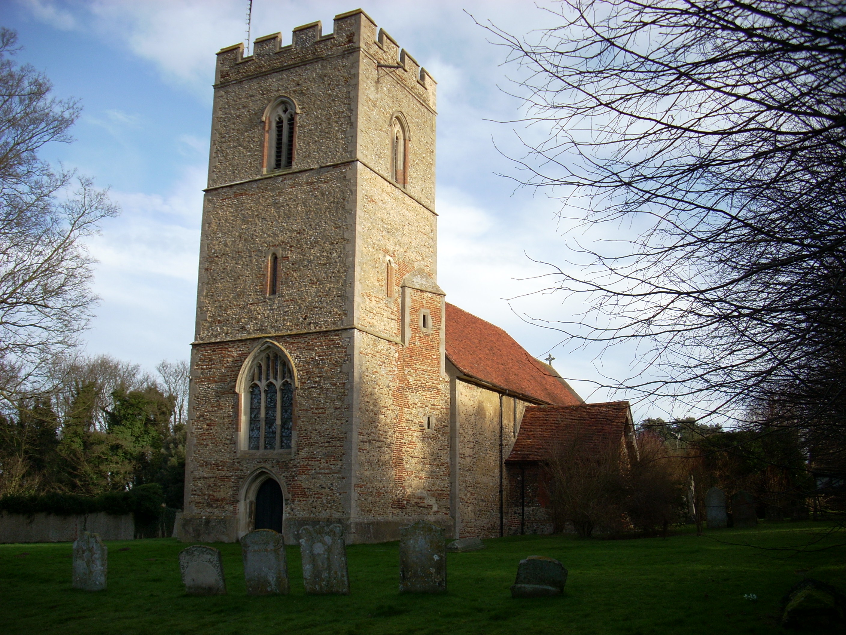
Ugley Green has a rich history, with evidence of human habitation dating back to the Roman era. The village is home to several historic buildings and landmarks, including the 12th-century St. Peter's Church, which serves as a focal point for the community and showcases stunning architectural features.
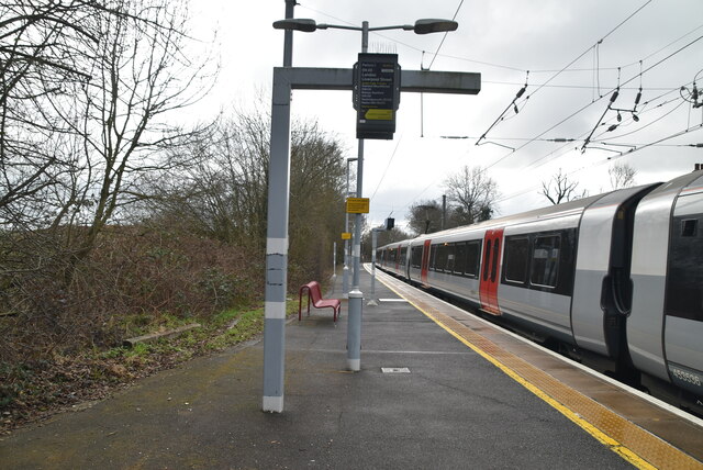
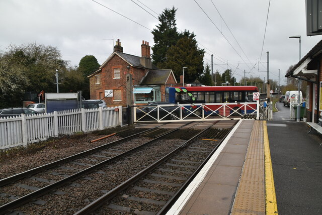
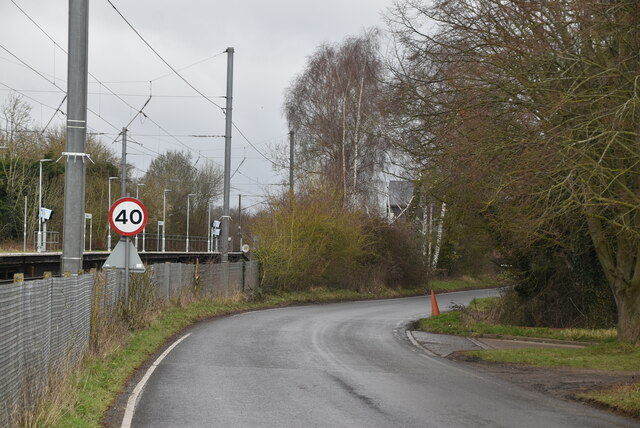
While Ugley Green is predominantly residential, it benefits from its proximity to Bishop's Stortford, where residents can access a wider range of amenities, including shops, restaurants, and schools. The village also benefits from excellent transport links, with easy access to major road networks and a nearby train station, allowing for convenient travel to London and other parts of the country.
Overall, Ugley Green offers a tranquil and picturesque setting for those seeking a peaceful village lifestyle, while still being within easy reach of larger towns and cities.
If you have any feedback on the listing, please let us know in the comments section below.
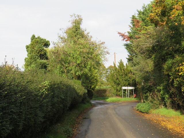
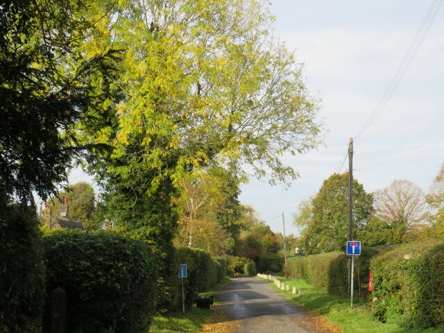
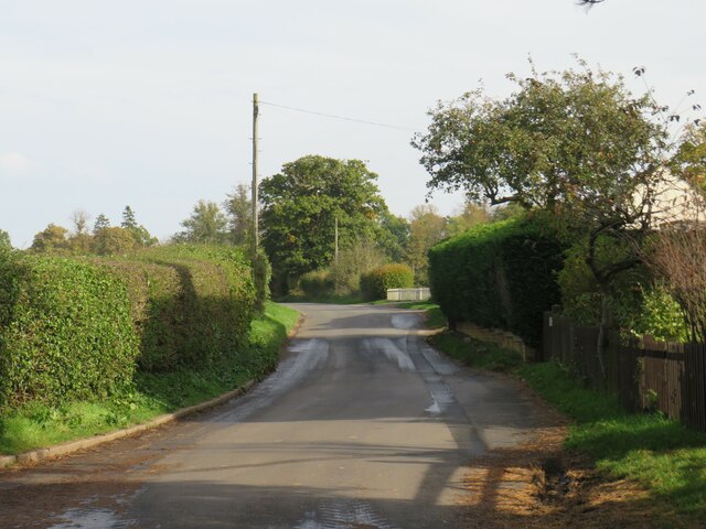
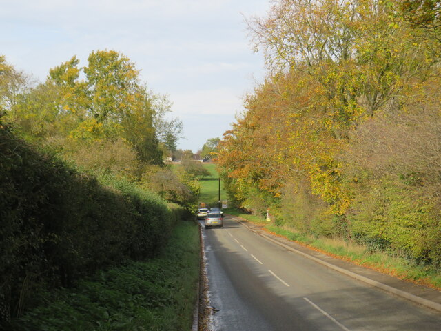
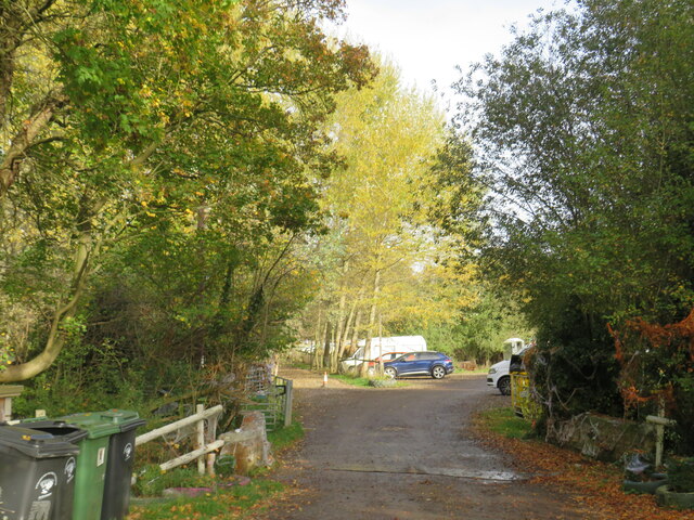
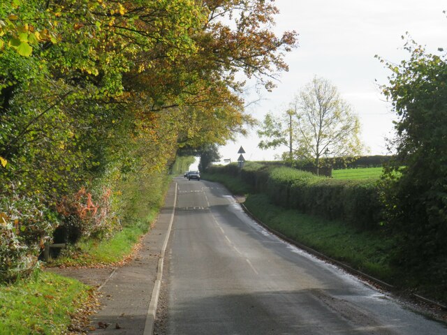
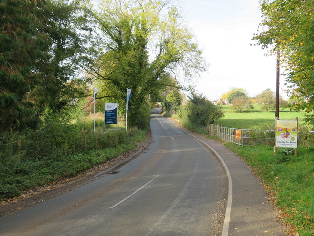
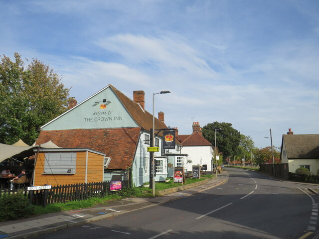
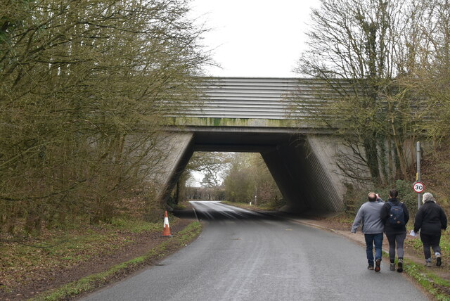
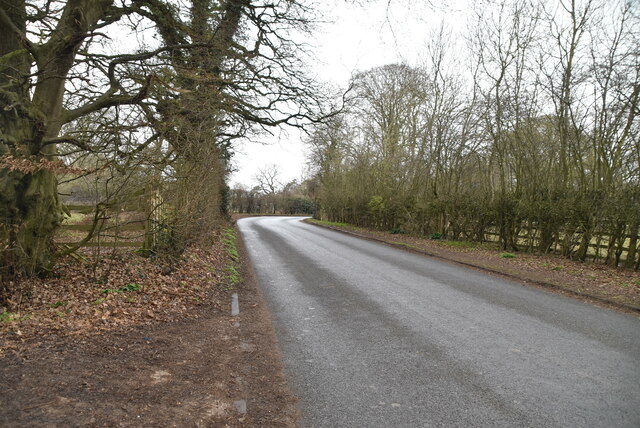
Ugley Green Images
Images are sourced within 2km of 51.922816/0.217728 or Grid Reference TL5227. Thanks to Geograph Open Source API. All images are credited.
Ugley Green is located at Grid Ref: TL5227 (Lat: 51.922816, Lng: 0.217728)
Administrative County: Essex
District: Uttlesford
Police Authority: Essex
What 3 Words
///messy.admiringly.guilty. Near Elsenham, Essex
Nearby Locations
Related Wikis

Ugley Green
Ugley Green is a small village in the district of Uttlesford in Essex, England. It is approximately 6 miles (10 km) north-east from Bishops Stortford,...
Elsenham
Elsenham is a village and civil parish in north-west Essex in eastern England. Its neighbouring settlements include Bishop's Stortford, Saffron Walden...
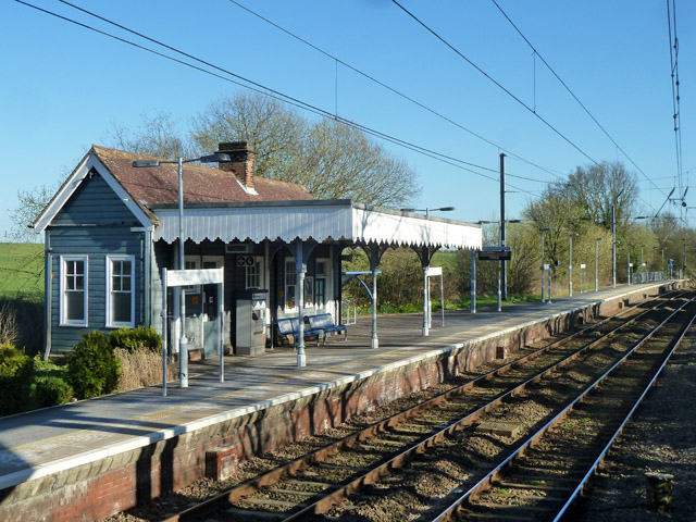
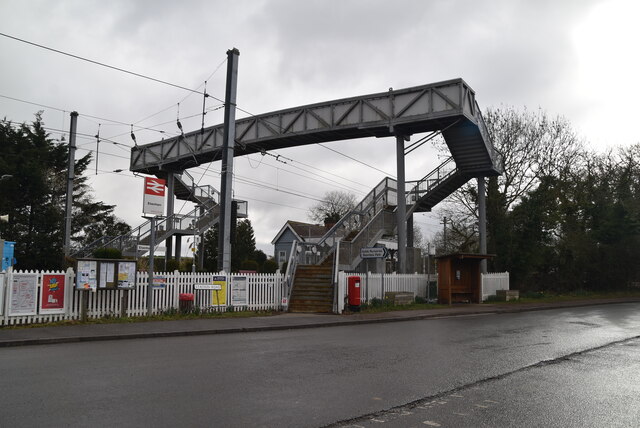
Elsenham railway station
Elsenham railway station is found on the West Anglia Main Line, serving the village of Elsenham in Essex, England. It is 35 miles 45 chains (57.2 km) down...

Orford House
Orford House is a country house in the small medieval hamlet of Ugley, Essex, England. == History == The house was built for Edward Russell, who went on...

Aubrey Buxton Nature Reserve
Aubrey Buxton Nature Reserve is a 9.7-hectare (24-acre) nature reserve west of Elsenham in Essex. It was donated to the Essex Wildlife Trust by Aubrey...
Hall's Quarry
Hall's Quarry is a 0.8-hectare (2.0-acre) geological Site of Special Scientific Interest north-west of Ugley Green in Essex. It is a Geological Conservation...

Ugley
Ugley is a small village and civil parish in the non-metropolitan district of Uttlesford in Essex, England. It is about 2 miles (3 km) north from Stansted...

Mill Road Halt railway station
Mill Road Halt railway station was a station between Elsenham and Henham in Essex. It was located 70 chains (1.41 km) from Elsenham station. It closed...
Nearby Amenities
Located within 500m of 51.922816,0.217728Have you been to Ugley Green?
Leave your review of Ugley Green below (or comments, questions and feedback).