Ugthorpe

Settlement in Yorkshire Scarborough

England

Ugthorpe

Near Biggin House Looking east towards the sea.
Near Biggin House Credit: T Eyre

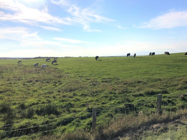
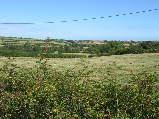
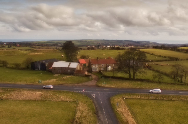
Ugthorpe is a small village located in the picturesque region of North Yorkshire, England. Nestled within the North York Moors National Park, this rural community is surrounded by rolling hills, lush green meadows, and dense woodlands. With a population of around 250 residents, Ugthorpe exudes a tranquil and peaceful atmosphere, making it a popular destination for those seeking solace away from the hustle and bustle of city life.

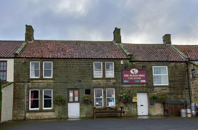
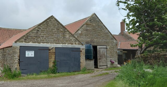
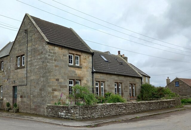
The village itself is characterized by its charming traditional stone houses and quaint cottages, which add to its unique character and aesthetic appeal. The local economy is primarily based on agriculture, with farming being a prominent occupation for many of the villagers. Ugthorpe is also home to a few small businesses, including a village shop and a cozy pub, which serves as a social hub for both locals and visitors alike.

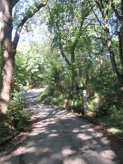
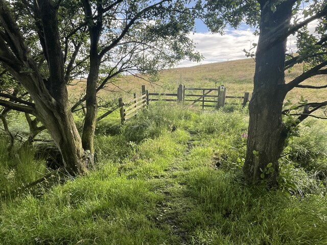
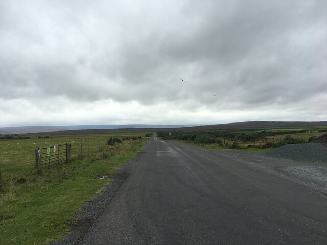
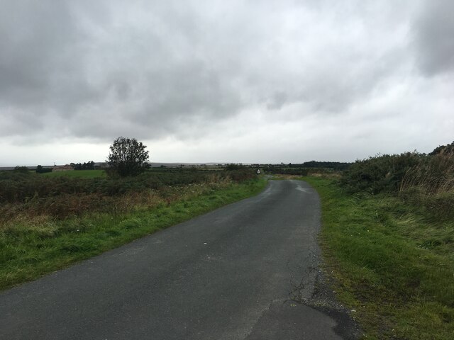
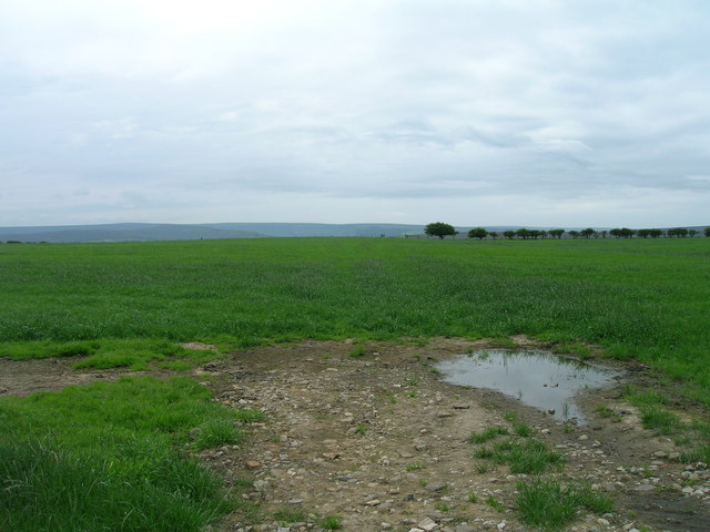
Nature enthusiasts will find themselves in paradise in Ugthorpe, with numerous walking and hiking trails available to explore the stunning surrounding countryside. The village is also conveniently located near the popular tourist destinations of Whitby and Scarborough, both of which offer a wide range of attractions, including beautiful sandy beaches, historic landmarks, and vibrant cultural scenes.

In summary, Ugthorpe is a charming village nestled within the breathtaking North York Moors. With its idyllic rural setting, close-knit community, and proximity to natural beauty spots, this tranquil Yorkshire gem offers an ideal escape for those seeking a peaceful retreat in the heart of nature.

If you have any feedback on the listing, please let us know in the comments section below.

Ugthorpe Images

Images are sourced within 2km of 54.490405/-0.775185 or Grid Reference NZ7911. Thanks to Geograph Open Source API. All images are credited.

Near Biggin House Looking east towards the sea.
Near Biggin House
Looking east towards the sea.
Ugthorpe, Black Bull The benchmark is cut into the 2nd course of stone on the north-east face of the front of the pub.
Ugthorpe, Black Bull
The benchmark is cut into the 2nd course of stone on the north-east face of the front of the pub.
Ugthorpe, Black Bull PH There is a benchmark cut into the 2nd course of stone on the north-east face of the front of the pub, to the left of the village noticeboard.
Ugthorpe, Black Bull PH
There is a benchmark cut into the 2nd course of stone on the north-east face of the front of the pub, to the left of the village noticeboard.
Cattle grazing At the edge of Ugthorpe Moor
Cattle grazing
At the edge of Ugthorpe Moor
Ugthorpe, Newgrove Farm The OS Flush Bracket G4811 is embedded into the gable end of a stone barn opposite the entrance to the farm.
Ugthorpe, Newgrove Farm
The OS Flush Bracket G4811 is embedded into the gable end of a stone barn opposite the entrance to the farm.
Ugthorpe, Newgrove Farm The OS Flush Bracket G4811 is embedded into the gable end of a stone barn opposite the entrance to the farm. It can be seen to the left of the 1st grey barn door.
Ugthorpe, Newgrove Farm
The OS Flush Bracket G4811 is embedded into the gable end of a stone barn opposite the entrance to the farm. It can be seen to the left of the 1st grey barn door.
Near Ugthorpe Looking NE from the road.
Near Ugthorpe
Looking NE from the road.
Dappled shade Dappled shade covers the dried up Mickleby ford.
Dappled shade
Dappled shade covers the dried up Mickleby ford.
Ford on Ugthorpe Moor This well culverted ford is found on Ugthorpe Moor at Pearson’s Rigg.
Ford on Ugthorpe Moor
This well culverted ford is found on Ugthorpe Moor at Pearson’s Rigg.
Minor road towards Lealholm
No through road to Tranmire
Ugthorpe, Low Broom House The benchmark is cut into the west facing gable end of the farmhouse. It is well hidden from view with shrubbery growing from the base of the wall.
Ugthorpe, Low Broom House
The benchmark is cut into the west facing gable end of the farmhouse. It is well hidden from view with shrubbery growing from the base of the wall.
Ugthorpe, Low Broom House There is a benchmark cut into the west facing gable end of the farmhouse. It is well hidden from view with shrubbery growing from the base of the wall.
Ugthorpe, Low Broom House
There is a benchmark cut into the west facing gable end of the farmhouse. It is well hidden from view with shrubbery growing from the base of the wall.
Ugthorpe, previously the church hall The church hall is now a private residence. The benchmark is cut into the north facing wall of the property.
Ugthorpe, previously the church hall
The church hall is now a private residence. The benchmark is cut into the north facing wall of the property.
Ugthorpe, previously the church hall The church hall is now a private residence. There is a benchmark cut into the north facing, gable end wall of the property.
Ugthorpe, previously the church hall
The church hall is now a private residence. There is a benchmark cut into the north facing, gable end wall of the property.
Footpath over fields
A171 towards Guisborough
High Park Farm
High Park Farm
Show me another place!

Ugthorpe is located at Grid Ref: NZ7911 (Lat: 54.490405, Lng: -0.775185)

Division: North Riding

Administrative County: North Yorkshire

District: Scarborough

Police Authority: North Yorkshire

What 3 Words

///expires.initiates.overlaid. Near Sleights, North Yorkshire

Nearby Locations

Mill Hill Ugthorpe

Related Wikis

Ugthorpe

Ugthorpe is a village and civil parish in the Scarborough borough, situated near Whitby, North Yorkshire, England. According to the 2011 UK census, Ugthorpe...

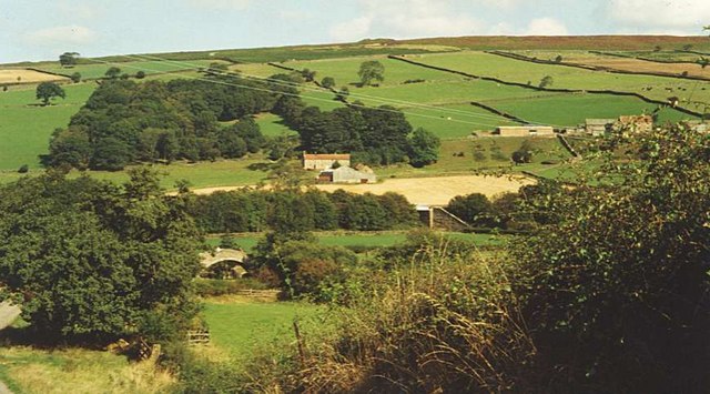
Eskdale, North Yorkshire

Eskdale is a valley running west to east from Westerdale on the North York Moors to Whitby on the Yorkshire Coast of England. Formed during the last major...

Mickleby

Mickleby is a village and civil parish in the Scarborough district of North Yorkshire, England. According to the 2011 UK census, Mickleby parish had a...
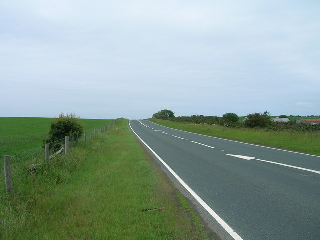
A171 road

The A171 is a road in England that links the North Yorkshire towns of Middlesbrough, Guisborough, Whitby, Robin Hood's Bay and Scarborough. Locally it...

Nearby Amenities

Located within 500m of 54.490405,-0.775185
Mill Hill
Place: locality
Source: OS_OpenData_StreetView
Lat/Long: 54.492864/-0.7805769
Ugthorpe
Place: village
Wikidata: Q2034165
Wikipedia: en:Ugthorpe
Lat/Long: 54.4894059/-0.7697942
Disused: yes
Historic: yes
Man Made: windmill
Ruins: no
Windmill Vanes: no
Lat/Long: 54.4929416/-0.7803764
Pub
Black Bull
Addr City: Whitby
Addr Country: GB
Addr Postcode: YO21 2BQ
Addr Street: Postgate Way
Addr Suburb: Ugthorpe
Fhrs Id: 243825
Lat/Long: 54.4901184/-0.7748684
The Old Hall Farm
Place: farm
Lat/Long: 54.488384/-0.775012
Pump Farm
Place: farm
Lat/Long: 54.4900246/-0.7732283
Entrance: yes
Lat/Long: 54.4901732/-0.7749019
Defibrillator
Defibrillator Location: outside Black Bull pub, Postgate Way, Ugthorpe, YO21 2BQ - to left of entrance
Emergency: defibrillator
Indoor: no
Lat/Long: 54.4901659/-0.7748804
The data included in this document is from www.openstreetmap.org. The data is made available under ODbL.

Have you been to Ugthorpe?

Leave your review of Ugthorpe below (or comments, questions and feedback).