Church Common
Downs, Moorland in Essex Uttlesford
England
Church Common
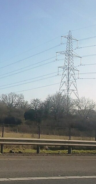
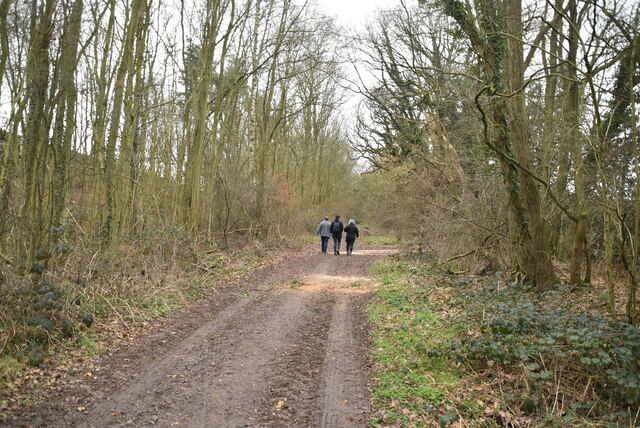
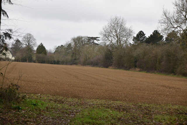
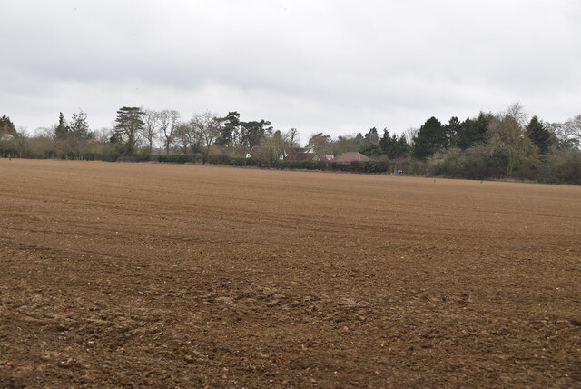
Church Common is a picturesque area located in Essex, England. It is characterized by its idyllic countryside landscapes, encompassing downs, moorland, and open fields. The common is situated near the village of Churchend, offering a tranquil and serene atmosphere to its visitors.
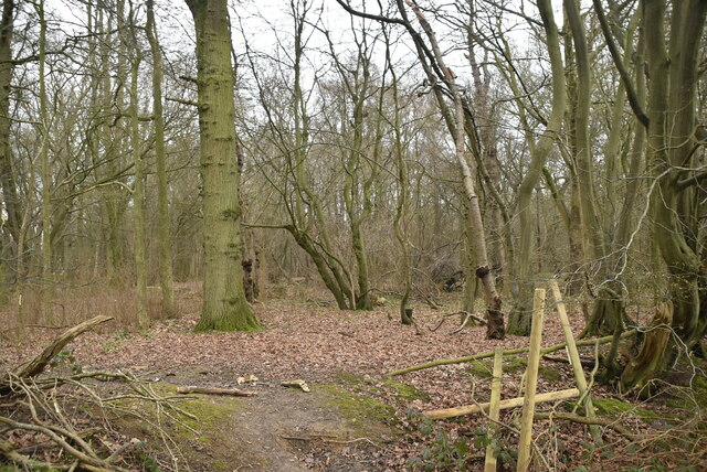
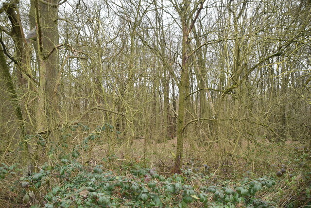
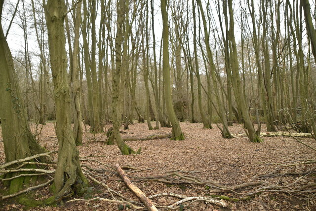
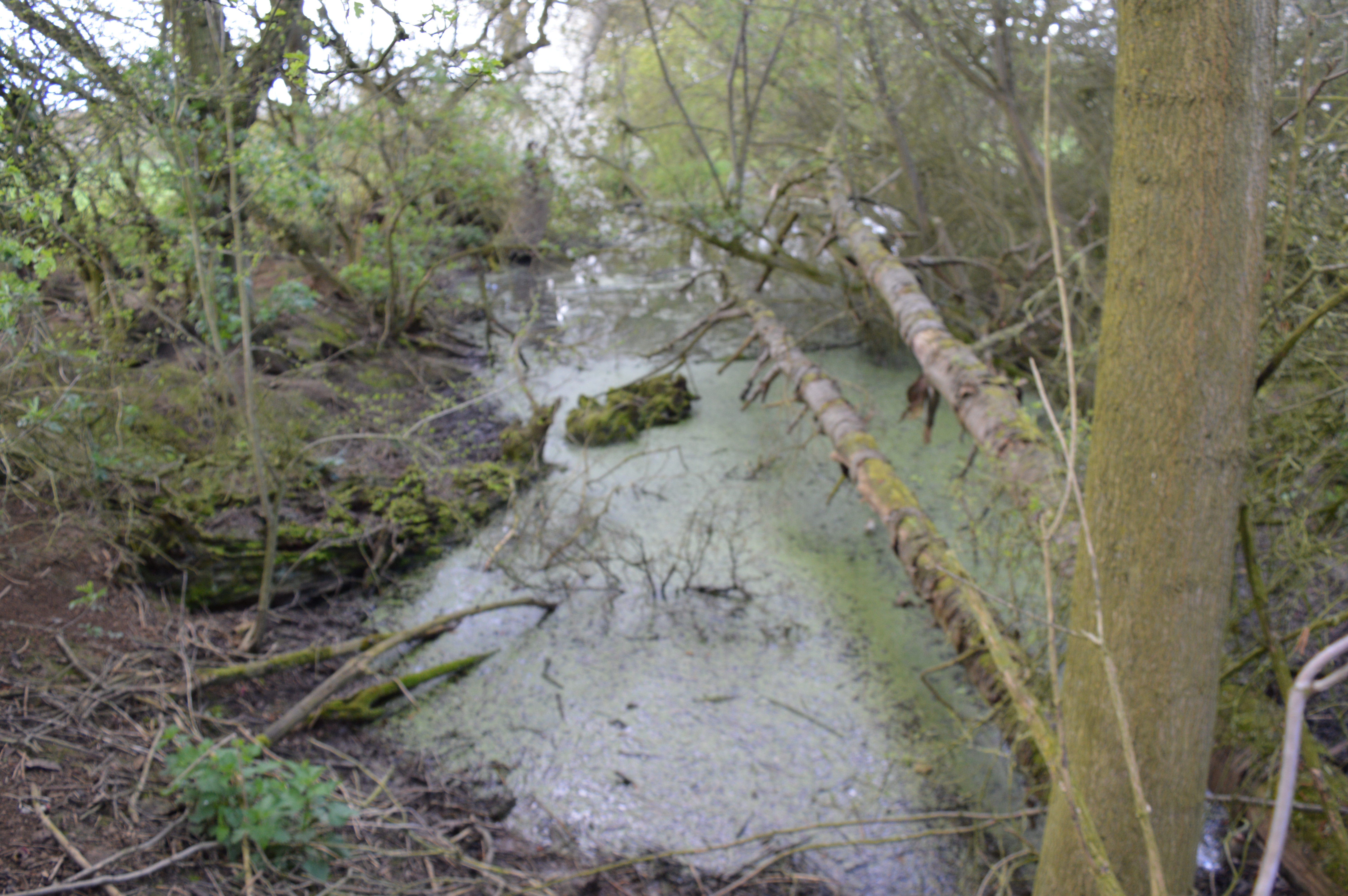
Covering an extensive area, Church Common is home to a diverse range of flora and fauna, making it a haven for nature enthusiasts. The downs provide a stunning panoramic view of the surrounding countryside, with rolling hills and sweeping valleys. The moorland, on the other hand, offers a unique habitat for various wildlife species, including birds, small mammals, and reptiles.
Visitors to Church Common can indulge in a variety of outdoor activities, such as walking, hiking, and birdwatching. The well-maintained footpaths and trails allow for easy exploration of the area, ensuring that visitors can fully immerse themselves in the natural beauty of the common.
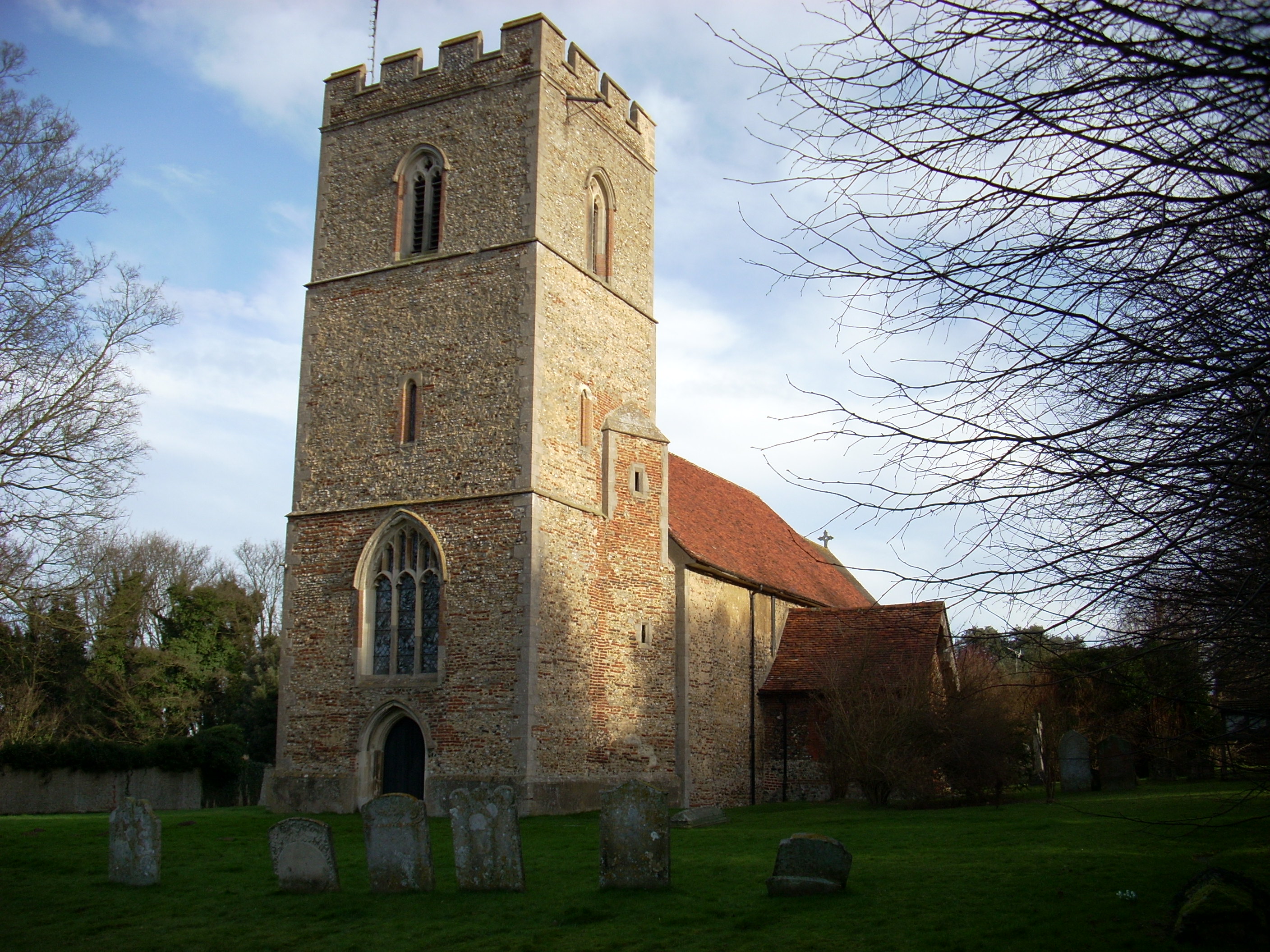
In addition to its natural wonders, Church Common is also home to a small church, adding to its charm and historical significance. The church serves as a place of worship for the local community and showcases traditional architecture that is reminiscent of the area's rich cultural heritage.
Overall, Church Common in Essex offers a peaceful retreat from the hustle and bustle of city life. Its diverse landscapes, abundant wildlife, and cultural landmarks make it a must-visit destination for nature lovers and history enthusiasts alike.
If you have any feedback on the listing, please let us know in the comments section below.
Church Common Images
Images are sourced within 2km of 51.929167/0.21284619 or Grid Reference TL5227. Thanks to Geograph Open Source API. All images are credited.
Church Common is located at Grid Ref: TL5227 (Lat: 51.929167, Lng: 0.21284619)
Administrative County: Essex
District: Uttlesford
Police Authority: Essex
What 3 Words
///stopwatch.energetic.cautious. Near Elsenham, Essex
Nearby Locations
Related Wikis
Hall's Quarry
Hall's Quarry is a 0.8-hectare (2.0-acre) geological Site of Special Scientific Interest north-west of Ugley Green in Essex. It is a Geological Conservation...

Ugley
Ugley is a small village and civil parish in the non-metropolitan district of Uttlesford in Essex, England. It is about 2 miles (3 km) north from Stansted...

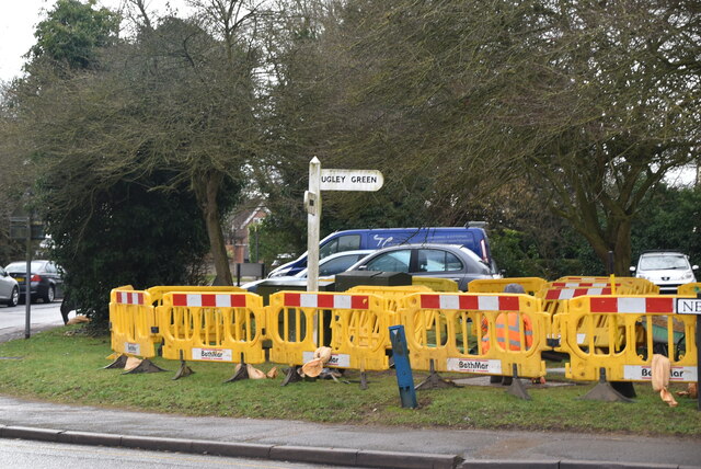
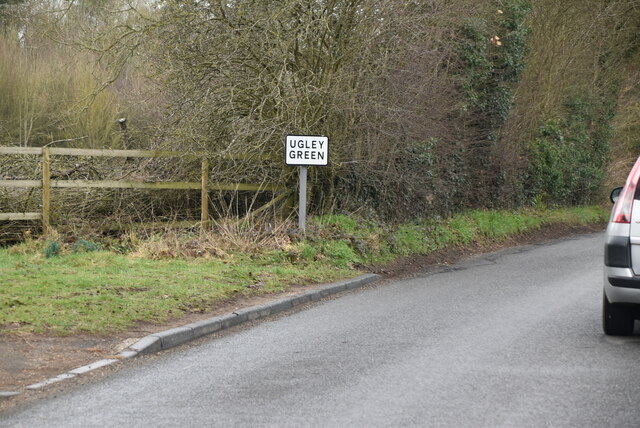
Ugley Green
Ugley Green is a small village in the district of Uttlesford in Essex, England. It is approximately 6 miles (10 km) north-east from Bishops Stortford,...

Orford House
Orford House is a country house in the small medieval hamlet of Ugley, Essex, England. == History == The house was built for Edward Russell, who went on...
Elsenham
Elsenham is a village and civil parish in north-west Essex in eastern England. Its neighbouring settlements include Bishop's Stortford, Saffron Walden...
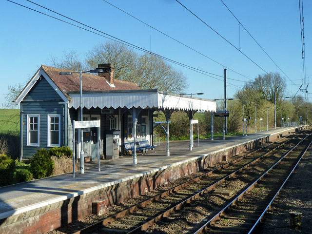
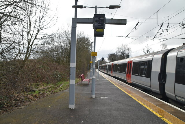
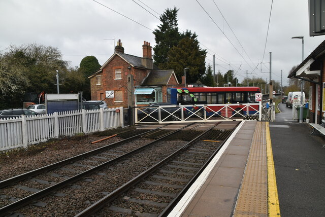
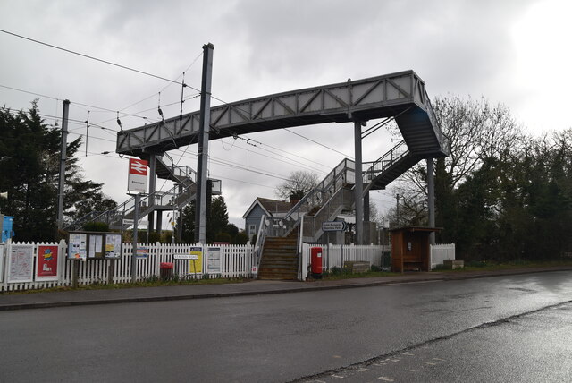
Elsenham railway station
Elsenham railway station is found on the West Anglia Main Line, serving the village of Elsenham in Essex, England. It is 35 miles 45 chains (57.2 km) down...

Aubrey Buxton Nature Reserve
Aubrey Buxton Nature Reserve is a 9.7-hectare (24-acre) nature reserve west of Elsenham in Essex. It was donated to the Essex Wildlife Trust by Aubrey...

Quendon Wood
Quendon Wood is a 32.1-hectare (79-acre) biological Site of Special Scientific Interest in Quendon in Essex.The site is ancient coppiced woodland with...
Related Videos

Unlocking the Allure of the Canary Islands: 7 Reasons to Travel
If you found my video useful, please buy me a coffee: buymeacoffee.com/goldtravel Book #tours from just £8.06pp here - instant ...
Tourists in UK
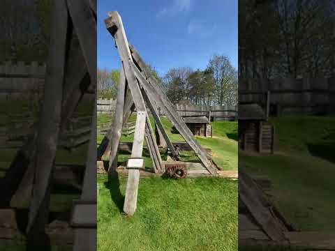
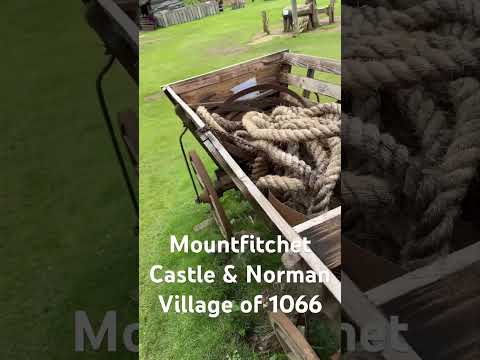
Mountfitchet Castle & Norman Village in England.

#MountfitchetCastle #Familytrip #Weekenddayout #Stansted UK
A glance of Mountfitchet Castle.
Nearby Amenities
Located within 500m of 51.929167,0.21284619Have you been to Church Common?
Leave your review of Church Common below (or comments, questions and feedback).