East New Field
Downs, Moorland in Norfolk King's Lynn and West Norfolk
England
East New Field
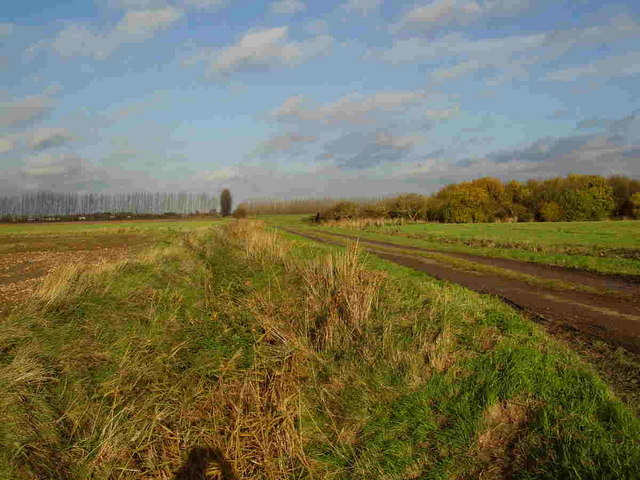
East New Field, Norfolk (Downs, Moorland) is a picturesque area located in the eastern part of Norfolk, England. It covers a vast expanse of land, characterized by rolling downs and expansive moorland. The region is renowned for its natural beauty, offering visitors a peaceful and serene environment.
The East New Field area boasts a diverse ecosystem, with a variety of flora and fauna. The downs, covered with lush green grasses and interspersed with colorful wildflowers, create a stunning landscape that changes throughout the seasons. The moorland, on the other hand, is characterized by open expanses of heather and gorse, providing a unique habitat for a range of bird species.
This area offers a range of outdoor activities for nature enthusiasts and adventurers alike. Visitors can enjoy long walks or cycling along the numerous trails that crisscross the downs and moorland, providing breathtaking views of the surrounding countryside. The area is also a haven for birdwatchers, with the opportunity to spot rare species such as the Dartford Warbler and the Stonechat.
East New Field is not only known for its natural beauty but also for its rich history. It is home to several archaeological sites, including ancient burial mounds and Iron Age hillforts. These sites offer a glimpse into the area's past and provide a fascinating insight into the lives of its early inhabitants.
With its stunning scenery and wealth of outdoor activities, East New Field, Norfolk (Downs, Moorland) is a must-visit destination for nature lovers and history enthusiasts alike. Whether it's exploring the rolling downs, immersing oneself in the tranquility of the moorland, or delving into the area's fascinating history, this region offers something for everyone.
If you have any feedback on the listing, please let us know in the comments section below.
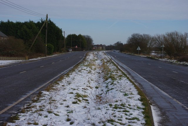
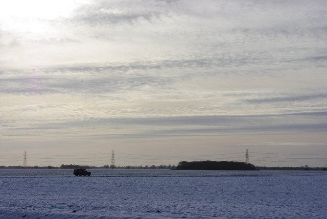
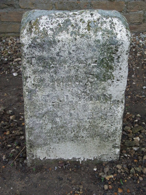
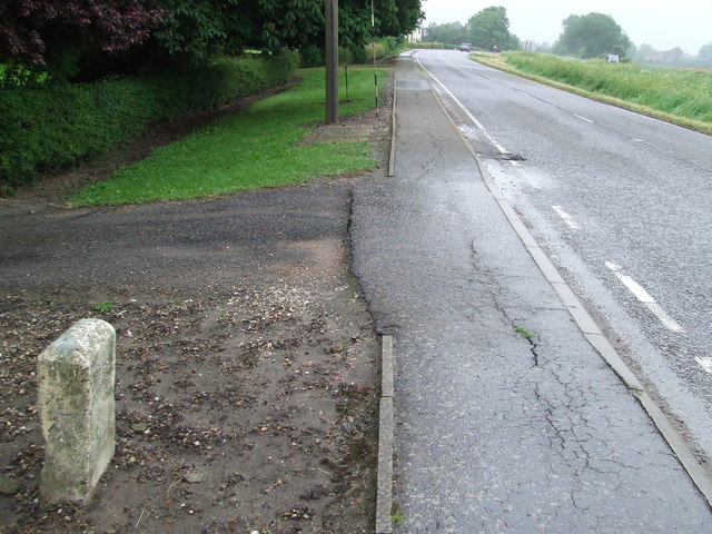
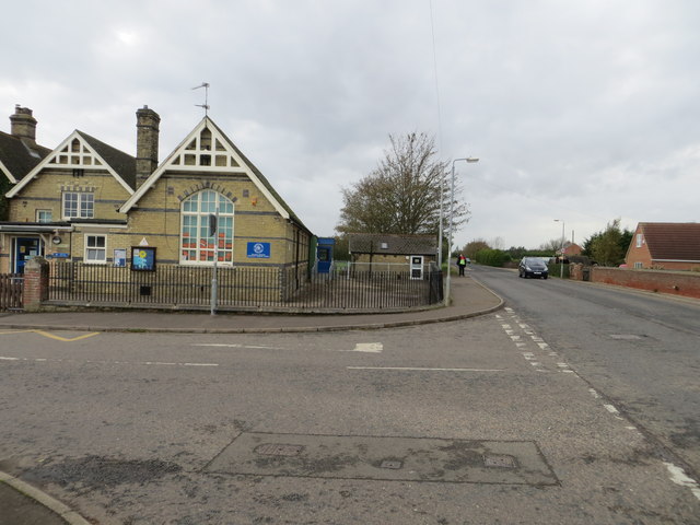
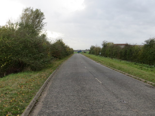
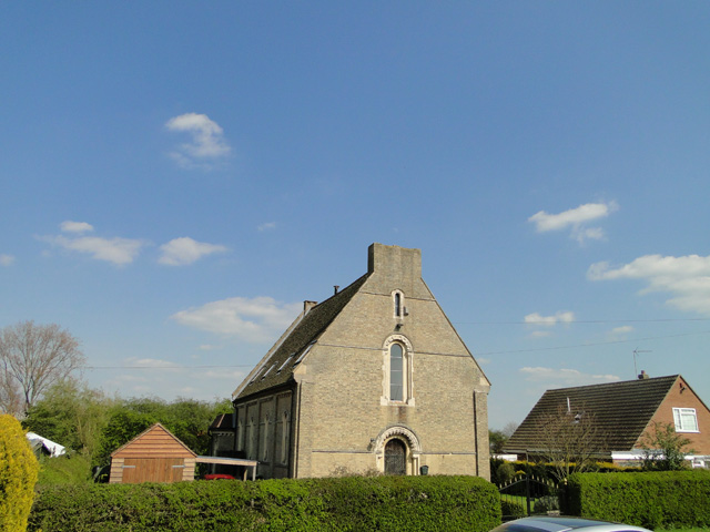
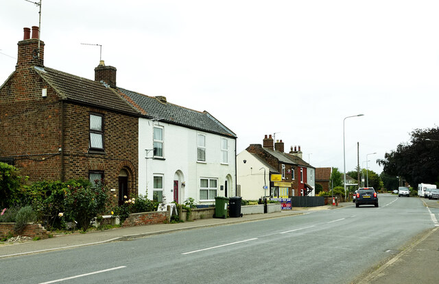
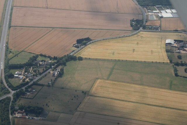
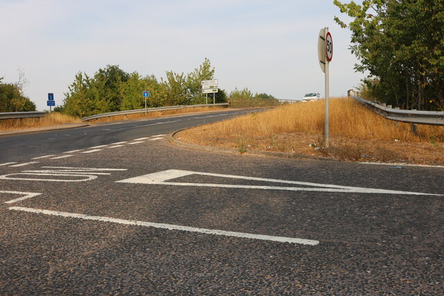
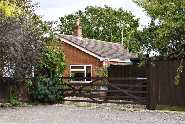
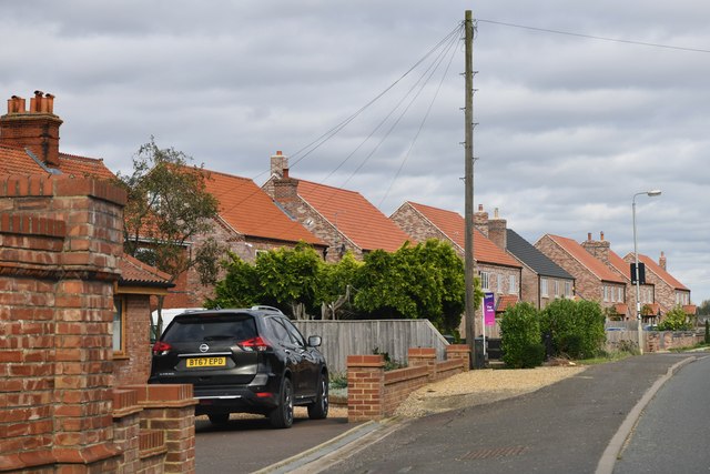
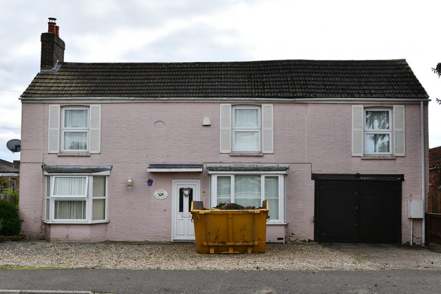
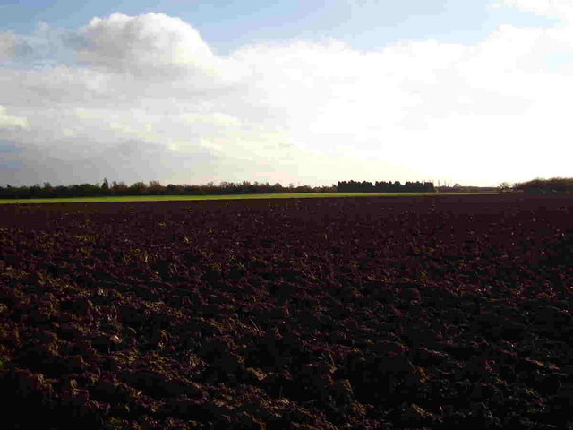
East New Field Images
Images are sourced within 2km of 52.695438/0.25155402 or Grid Reference TF5213. Thanks to Geograph Open Source API. All images are credited.


East New Field is located at Grid Ref: TF5213 (Lat: 52.695438, Lng: 0.25155402)
Administrative County: Norfolk
District: King's Lynn and West Norfolk
Police Authority: Norfolk
What 3 Words
///pigtails.enrolling.dormant. Near Terrington St John, Norfolk
Nearby Locations
Related Wikis

Walpole Highway
Walpole Highway is a village and civil parish in the English county of Norfolk. It covers an area of 10.48 km2 (4.05 sq mi) and had a population of 685...

Terrington St John
Terrington St John is a village and civil parish in the English county of Norfolk. The village lies to the south of the route of the A47 between Peterborough...

Tilney St Lawrence
Tilney St Lawrence is a village and a civil parish in the English county of Norfolk The village is 52.3 miles (84.2 km) west of Norwich, 9.7 miles (15...

Smeeth Road railway station
Smeeth Road was a railway station serving the villages of Emneth Hungate, Marshland St James and St John Fen's End, all east of Wisbech in Norfolk, England...
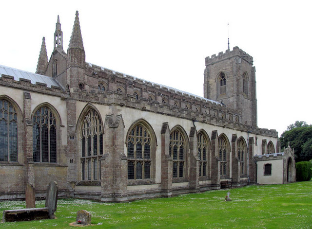
St Peter's Church, Walpole St Peter
St Peter's Church is an active Anglican parish church in Walpole St Peter, Norfolk, England. One of the largest churches in the county, it is known as...
Middle Drove railway station
Middle Drove was a railway station which served the nearby village of Tilney Fen End (situated 1 mile to the north northeast) near Downham Market in Norfolk...

Marshland St James
Marshland St James is a village and civil parish in the English county of Norfolk. It covers an area of 25.69 km2 (9.92 sq mi) and had a population of...
Marshland High School
Marshland High School is a mixed secondary school in the King's Lynn and West Norfolk District of Norfolk, England, and in the village of West Walton...
Nearby Amenities
Located within 500m of 52.695438,0.25155402Have you been to East New Field?
Leave your review of East New Field below (or comments, questions and feedback).