Granta Park

Downs, Moorland in Cambridgeshire South Cambridgeshire

England

Granta Park

Great Abington, St Mary <span class="nowrap"><a title="http://www.druidic.org/camchurch/churches/gtabington.htm" rel="nofollow ugc noopener" href="http://www.druidic.org/camchurch/churches/gtabington.htm">Link</a><img style="margin-left:2px;" alt="External link" title="External link - shift click to open in new window" src="https://s1.geograph.org.uk/img/external.png" width="10" height="10"/></span>
Great Abington, St Mary Credit: mym

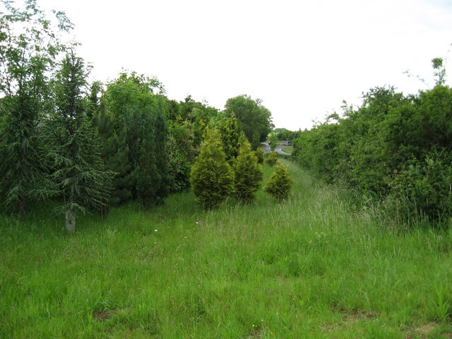
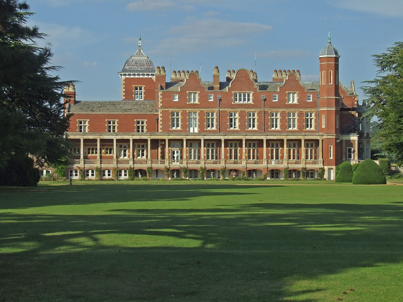
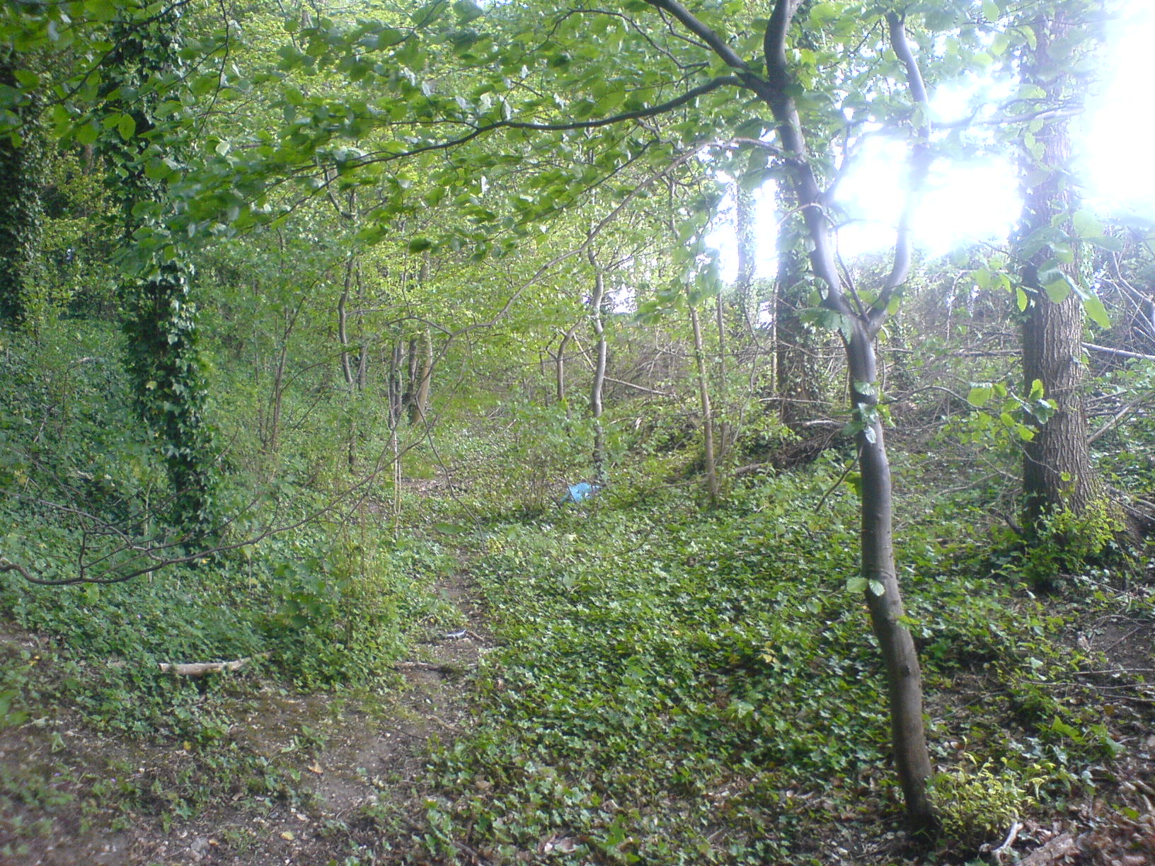
Granta Park is a premier science and technology park located in a picturesque setting in Cambridgeshire, England. Situated on the outskirts of the historic city of Cambridge, the park covers an area of approximately 120 acres and is surrounded by beautiful countryside, including downs and moorland.

The park is renowned for its state-of-the-art facilities and world-class research and development organizations. It is home to numerous leading companies and institutions in the fields of biotechnology, pharmaceuticals, and technology. The park provides a collaborative environment for innovation and attracts some of the brightest minds in these industries.

The infrastructure at Granta Park is designed to support cutting-edge research and development. It offers a range of high-quality laboratory and office spaces, as well as advanced scientific facilities and equipment. The park also boasts excellent amenities, including on-site cafeterias, fitness centers, and green spaces, providing a pleasant and productive work environment for its tenants.

In addition to its exceptional facilities, Granta Park benefits from its strategic location. It is conveniently situated near major transportation links, including the M11 motorway, which provides easy access to London and other major cities. The park is also well-connected to Cambridge city center, with regular bus services connecting the two.

Overall, Granta Park is a thriving hub of scientific and technological innovation. Its unique combination of world-class facilities, stunning natural surroundings, and convenient location make it an attractive destination for leading companies and researchers in the fields of science and technology.

If you have any feedback on the listing, please let us know in the comments section below.
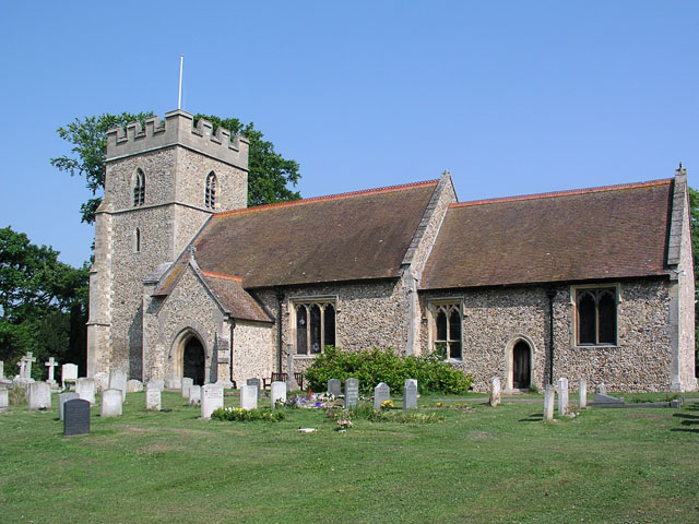
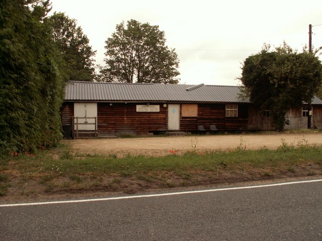
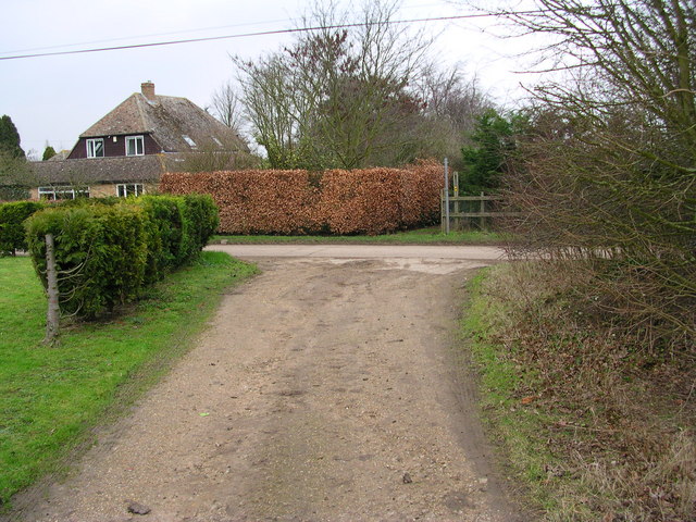
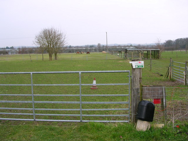
Granta Park Images

Images are sourced within 2km of 52.117344/0.22266673 or Grid Reference TL5248. Thanks to Geograph Open Source API. All images are credited.

Great Abington, St Mary <span class="nowrap"><a title="http://www.druidic.org/camchurch/churches/gtabington.htm" rel="nofollow ugc noopener" href="http://www.druidic.org/camchurch/churches/gtabington.htm">Link</a><img style="margin-left:2px;" alt="External link" title="External link - shift click to open in new window" src="https://s1.geograph.org.uk/img/external.png" width="10" height="10"/></span>
Great Abington, St Mary
Little Abington, St Mary <span class="nowrap"><a title="http://www.druidic.org/camchurch/churches/ltabington.htm" rel="nofollow ugc noopener" href="http://www.druidic.org/camchurch/churches/ltabington.htm">Link</a><img style="margin-left:2px;" alt="External link" title="External link - shift click to open in new window" src="https://s1.geograph.org.uk/img/external.png" width="10" height="10"/></span>
Little Abington, St Mary
Great Abington High Street A view of the three tuns pub from outside Abington school.
Great Abington High Street
A view of the three tuns pub from outside Abington school.
Abington Social Club, Great Abington, Cambs.
Cross path coming from Brent Ditch Looked just like a ditch in America.
Cross path coming from Brent Ditch
Looked just like a ditch in America.
Caravan parking and lodging for ponies.
Dismantled railway
Dismantled railway
Two Acre Plantation Two Acre Plantation viewed from footbridge over A11
Two Acre Plantation
Two Acre Plantation viewed from footbridge over A11
Little Abington The building bordering the image to the left is the Little Abington Pottery.
Little Abington
The building bordering the image to the left is the Little Abington Pottery.
Course of old railway Course of the old Cambridge to Haverhill railway line (part of the 'Stour Valley Line') near Pampisford. The site of Pampisford station is now lost under the widened A11 trunk road.
Course of old railway
Course of the old Cambridge to Haverhill railway line (part of the 'Stour Valley Line') near Pampisford. The site of Pampisford station is now lost under the widened A11 trunk road.
Millennium bridge over the Granta This footbridge linking the parishes of Great and Little Abington was constructed and presented in 2000 by Granta Park and TWI. <span class="nowrap"><a title="http://www.twi.co.uk" rel="nofollow ugc noopener" href="http://www.twi.co.uk">Link</a><img style="margin-left:2px;" alt="External link" title="External link - shift click to open in new window" src="https://s1.geograph.org.uk/img/external.png" width="10" height="10"/></span>
Millennium bridge over the Granta
This footbridge linking the parishes of Great and Little Abington was constructed and presented in 2000 by Granta Park and TWI. LinkExternal link
Three Tuns The free house in Abington.
Three Tuns
The free house in Abington.
Thatched cottage A traditional building in the High Street.
Thatched cottage
A traditional building in the High Street.
Abington cottage A brick and flint cottage with pretty Gothic windows and a weatherboarded extension in Church Lane.
Abington cottage
A brick and flint cottage with pretty Gothic windows and a weatherboarded extension in Church Lane.
Abingtons village sign East Anglian village signs are usually freestanding; exceptionally, this shared sign for Great and Little Abington is a mosaic on the parapet of the bridge over the Granta, which forms the boundary between the two parishes.
Abingtons village sign
East Anglian village signs are usually freestanding; exceptionally, this shared sign for Great and Little Abington is a mosaic on the parapet of the bridge over the Granta, which forms the boundary between the two parishes.
St Mary's Church, Great Abington The church stands in parkland, away from the houses of the village street.
St Mary's Church, Great Abington
The church stands in parkland, away from the houses of the village street.
Snowdrops (Galanthus nivalis) Early harbingers of spring on the edge of St Mary's churchyard.
Snowdrops (Galanthus nivalis)
Early harbingers of spring on the edge of St Mary's churchyard.
Show me another place!

Granta Park is located at Grid Ref: TL5248 (Lat: 52.117344, Lng: 0.22266673)

Administrative County: Cambridgeshire

District: South Cambridgeshire

Police Authority: Cambridgeshire

What 3 Words

///image.peach.polar. Near Sawston, Cambridgeshire

Related Wikis

Granta Park

Granta Park is a science, technology and biopharmaceutical park based on the bank of the River Granta in Great Abington near Cambridge, England. The idea...

Bourne Bridge railway station

Bourne Bridge railway station served Little Abington, Great Abington, Pampisford and Babraham in Cambridgeshire. It was closed in 1851, along with its...

Pampisford railway station

Pampisford railway station is a former British railway station in Pampisford, Cambridgeshire. It was on the Stour Valley Railway from 1865 to its closure...

The Abingtons, Cambridgeshire

The Abingtons are a community in South Cambridgeshire consisting of two small villages: Little Abington and Great Abington, about 7 miles (11 km) south...

Abington railway station (England)

Abington railway station served Little Abington, Great Abington and Babraham in Cambridgeshire. It closed in 1851, along with its line which was one of...

Pampisford Hall

Pampisford Hall is a country house designed by George Goldie in the civil parish of Pampisford in the English county of Cambridgeshire. It became a Grade...

Babraham

Babraham is a village and civil parish in the South Cambridgeshire district of Cambridgeshire, England, about 6 miles (9.7 km) south-east of Cambridge...

Brent Ditch

Brent Ditch is generally assumed to be an Anglo-Saxon earthwork in Southern Cambridgeshire, England, built around the 6th and 7th centuries AD. However...

Nearby Amenities

Located within 500m of 52.117344,0.22266673
Bourn Bridge
Is In: Cambridgeshire, England, UK
Place: hamlet
Source Name: local knowledge
Lat/Long: 52.1210205/0.2194211
Crossing
Lat/Long: 52.1172957/0.2167353
Barrier: lift_gate
Bicycle: no
Foot: no
Horse: no
Lat/Long: 52.1173995/0.2184223
Barrier: lift_gate
Bicycle: no
Foot: no
Horse: no
Lat/Long: 52.1172112/0.2184283
Bar
Lat/Long: 52.1167098/0.2292913
Entrance: main
Lat/Long: 52.1169776/0.2254708
Entrance: main
Lat/Long: 52.1174212/0.225509
Crossing
Lat/Long: 52.1175997/0.2172836
Power: pole
Lat/Long: 52.1179441/0.2170791
Power: pole
Lat/Long: 52.1185189/0.2163469
Power: pole
Lat/Long: 52.1178584/0.217463
Bourne Bridge
Historic Railway: station
Railway: site
Source: wikipedia
Wikidata: Q4950221
Wikipedia: en:Bourne Bridge railway station
Lat/Long: 52.118912/0.2160302
Illumina Cambridge Ltd
Addr City: Cambridge
Addr Country: GB
Addr Housenumber: 7
Addr Postcode: CB21 6GP
Addr Street: Granta Park
Office: company
Opening Hours: Mo-Fr 09:00-17:00
Website: https://www.illumina.com/
Lat/Long: 52.1167069/0.2200807
Colour: yellow
Marker: post
Material: concrete
Utility: gas
Lat/Long: 52.116914/0.2186655
Marker: post
Material: concrete
Utility: gas
Lat/Long: 52.1168649/0.2186939
Street Lamp
Lat/Long: 52.1180973/0.2174105
Street Lamp
Lat/Long: 52.1176699/0.2169974
Street Lamp
Lat/Long: 52.1177885/0.2173313
Street Lamp
Lat/Long: 52.1172919/0.2165253
Street Lamp
Lat/Long: 52.1171593/0.2168432
Street Lamp
Lat/Long: 52.116974/0.2169035
Street Lamp
Lat/Long: 52.1170415/0.2171865
Street Lamp
Lat/Long: 52.1171898/0.2175634
Street Lamp
Lat/Long: 52.117007/0.217499
Street Lamp
Lat/Long: 52.1175776/0.217153
Street Lamp
Lat/Long: 52.117478/0.2175137
Street Lamp
Lat/Long: 52.1172828/0.2186792
Street Lamp
Lat/Long: 52.1174105/0.2191539
Street Lamp
Lat/Long: 52.1172754/0.2192344
Street Lamp
Lat/Long: 52.1171313/0.2191177
Street Lamp
Lat/Long: 52.1174665/0.2188267
Street Lamp
Lat/Long: 52.1175826/0.2190667
Street Lamp
Lat/Long: 52.1177646/0.2190842
Street Lamp
Lat/Long: 52.1179252/0.2190936
Street Lamp
Lat/Long: 52.1183344/0.2194818
Street Lamp
Lat/Long: 52.1182583/0.2195254
Street Lamp
Lat/Long: 52.1182315/0.2192853
Street Lamp
Lat/Long: 52.1180956/0.2191599
Street Lamp
Lat/Long: 52.118362/0.2188565
Street Lamp
Lat/Long: 52.1184983/0.21871
Street Lamp
Lat/Long: 52.1186548/0.2186322
Crossing
Lat/Long: 52.1173723/0.2167503
Crossing
Lat/Long: 52.1171073/0.2168952
Crossing
Lat/Long: 52.1170651/0.2169764
Crossing
Lat/Long: 52.1176142/0.2170804
Crossing
Lat/Long: 52.1170662/0.2173517
Crossing
Lat/Long: 52.1170829/0.217455
Crossing
Lat/Long: 52.1172494/0.2176312
Crossing
Lat/Long: 52.1173907/0.217662
The data included in this document is from www.openstreetmap.org. The data is made available under ODbL.

Have you been to Granta Park?

Leave your review of Granta Park below (or comments, questions and feedback).