Bournes Green

Settlement in Gloucestershire Stroud

England

Bournes Green

Chalford from railway line Looking towards High Street at Chalford, with Coppice Hill further up. Chalford Baptist Church is visible at top mid-right of picture.
Chalford from railway line Credit: Clint Mann

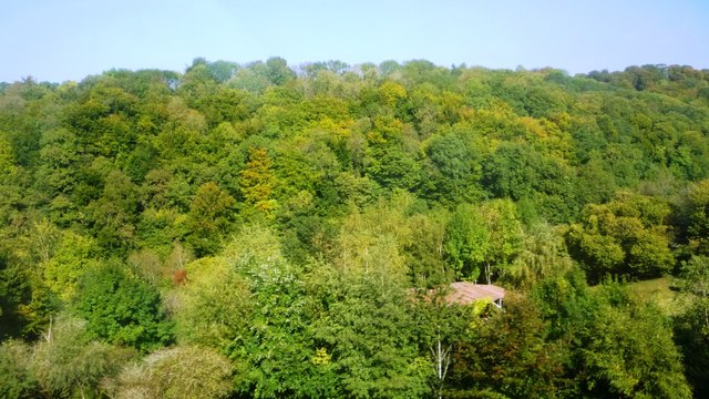
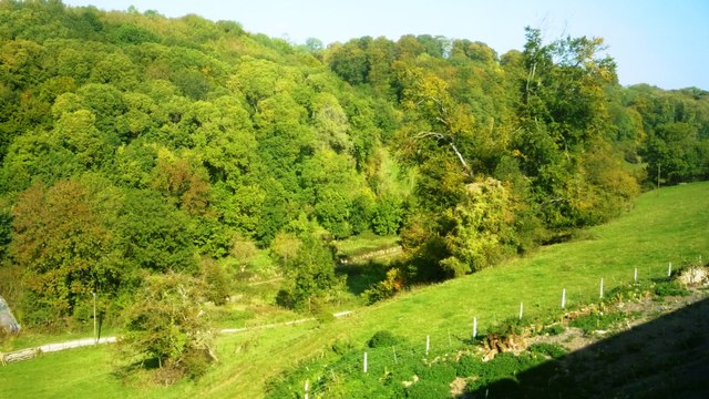
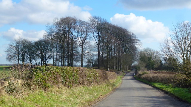
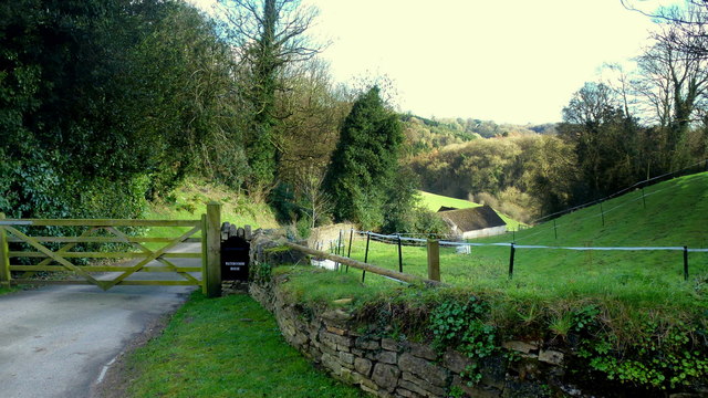
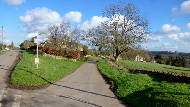
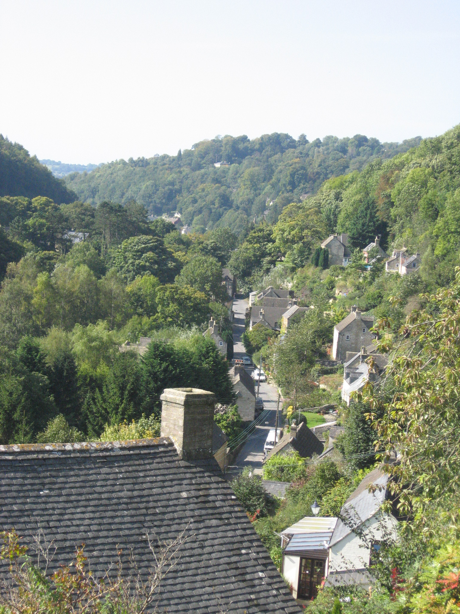
Bournes Green is a small village located in the county of Gloucestershire, in southwestern England. Situated in the Stroud district, the village is nestled in the picturesque Cotswold Hills, renowned for its stunning landscapes and charming rural settings. Bournes Green is approximately 5 miles southwest of the town of Stroud and is surrounded by beautiful countryside, making it an ideal location for nature enthusiasts and those seeking a peaceful retreat.

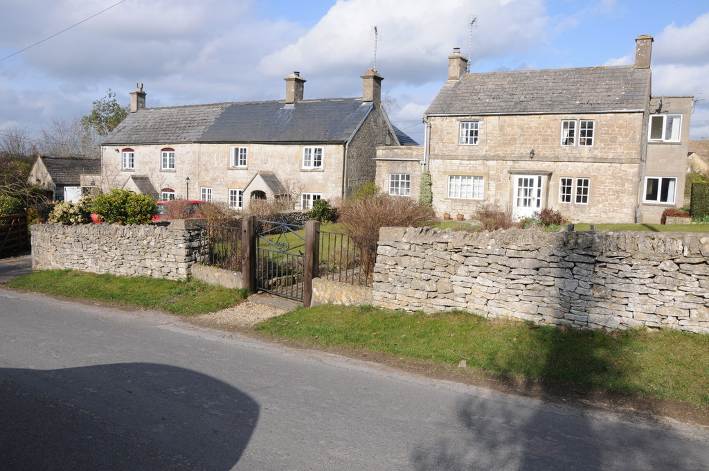
The village itself is characterized by its quaint and traditional architecture, with many buildings dating back several centuries. The local community is close-knit and friendly, giving Bournes Green a warm and welcoming atmosphere. The village has a small but well-maintained green space, which serves as a gathering point for residents and a place for children to play.

Despite its small size, Bournes Green benefits from a range of amenities for its residents. These include a local pub, offering a cozy and traditional environment for socializing, as well as a village hall that hosts various community events throughout the year. The village also benefits from excellent transport links, with regular bus services connecting it to nearby towns and villages.

Bournes Green's location within the Cotswolds provides residents and visitors with numerous opportunities for outdoor activities. The surrounding area is filled with walking and cycling trails, offering breathtaking views of the countryside and opportunities to explore the region's natural beauty.

Overall, Bournes Green is a charming and idyllic village, offering a peaceful and rural lifestyle in the heart of the Gloucestershire countryside.

If you have any feedback on the listing, please let us know in the comments section below.

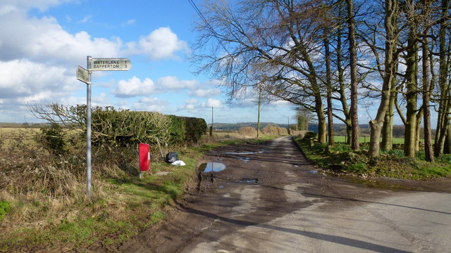
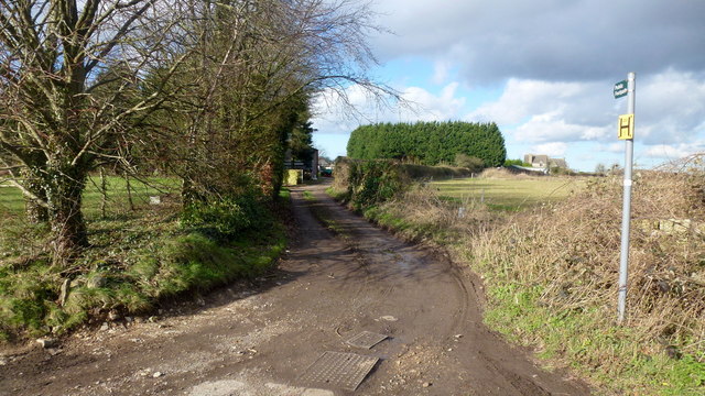
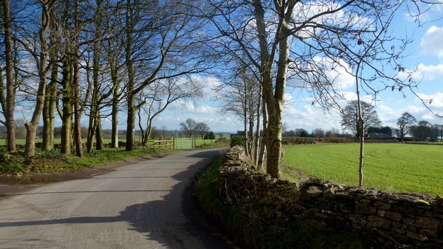
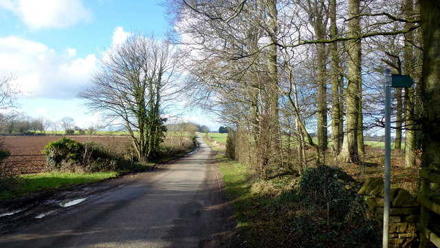
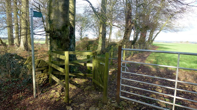
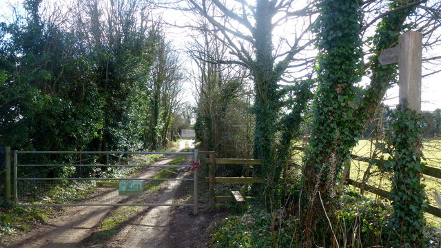
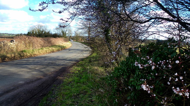
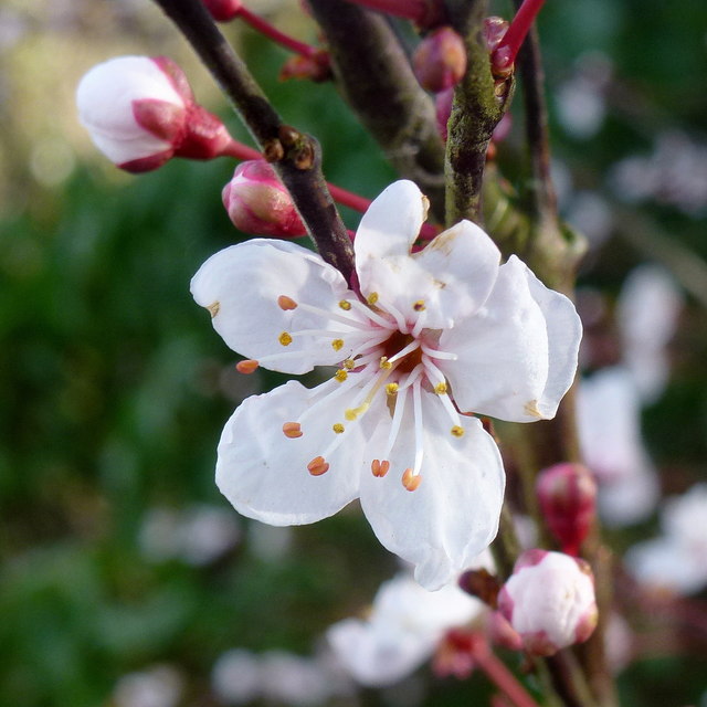
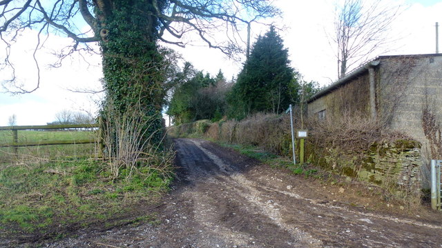
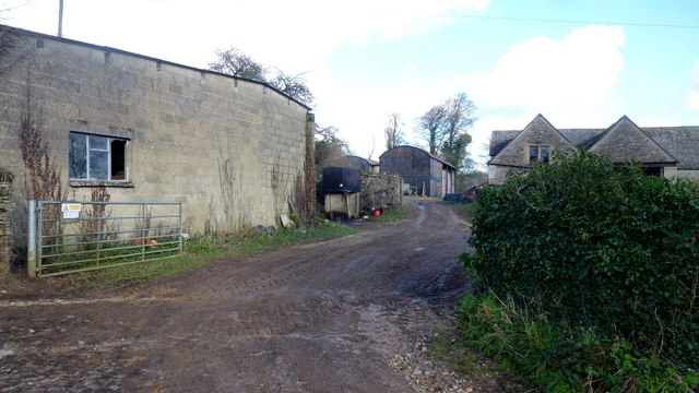
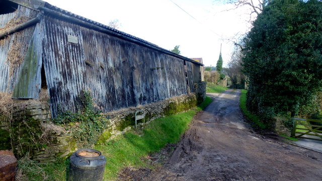
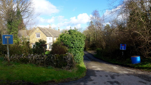
Bournes Green Images

Images are sourced within 2km of 51.736212/-2.130301 or Grid Reference SO9104. Thanks to Geograph Open Source API. All images are credited.

Chalford from railway line Looking towards High Street at Chalford, with Coppice Hill further up. Chalford Baptist Church is visible at top mid-right of picture.
Chalford from railway line
Looking towards High Street at Chalford, with Coppice Hill further up. Chalford Baptist Church is visible at top mid-right of picture.
Woodland north of railway line Dense woodland adorns the hills to the north of the Severn and Thames Canal. Bristley Hill Wood and (to the right) Tanner's Wood are located here.
Woodland north of railway line
Dense woodland adorns the hills to the north of the Severn and Thames Canal. Bristley Hill Wood and (to the right) Tanner's Wood are located here.
Trackway and canal in the Golden Valley Viewed from the railway line. Tanner's Wood seen in background.
Trackway and canal in the Golden Valley
Viewed from the railway line. Tanner's Wood seen in background.
Limekiln Lane, 1 Heading south-east towards Waterlane. The beech copse surrounds Bisley long barrow.
It's the time of year when beech trees look black against a sunny winter sky.
Limekiln Lane, 1
Heading south-east towards Waterlane. The beech copse surrounds Bisley long barrow. It's the time of year when beech trees look black against a sunny winter sky.
Entrance to Watercombe House Set in a secluded Cotswold valley.
Entrance to Watercombe House
Set in a secluded Cotswold valley.
Hayhedge Lane, Bisley The lane leads a to dead end at Battlescombe. Right is Limekiln Lane.
Hayhedge Lane, Bisley
The lane leads a to dead end at Battlescombe. Right is Limekiln Lane.
Track and footpath to Bisley Leading north-west from the lane junction in <a href="https://www.geograph.org.uk/photo/5013309">SO9005 : Hayhedge Lane, Bisley</a>.
Track and footpath to Bisley
Leading north-west from the lane junction in SO9005 : Hayhedge Lane, Bisley.
Limekiln Lane Looking south-east from Hayhedge Lane, Bisley.
Limekiln Lane
Looking south-east from Hayhedge Lane, Bisley.
Limekiln Lane, 2 The opposite view to <a href="https://www.geograph.org.uk/photo/4824246">SO9105 : Limekiln Lane, 1</a>.
Limekiln Lane, 2
The opposite view to SO9105 : Limekiln Lane, 1.
Footpath by Bisley barrow The path heads north from Limekiln Lane to Battlescombe.
Footpath by Bisley barrow
The path heads north from Limekiln Lane to Battlescombe.
Private drive, public path The path cuts through to Hyde's Bottom from Limekiln Lane.
Private drive, public path
The path cuts through to Hyde's Bottom from Limekiln Lane.
Lane to Waterlane The shrub with pinky white flowers is a Viburnun sp, possibly V lantana, Wayfaring Tree.
Lane to Waterlane
The shrub with pinky white flowers is a Viburnun sp, possibly V lantana, Wayfaring Tree.
Viburnum lantana by Limekiln Lane Detail of the shrub seen in context in <a href="https://www.geograph.org.uk/photo/5013388">SO9104 : Lane to Waterlane</a>.
Viburnum lantana by Limekiln Lane
Detail of the shrub seen in context in SO9104 : Lane to Waterlane.
Track and footpath Limbricks farm to the right; the footpath heads north to Battlescombe.
Track and footpath
Limbricks farm to the right; the footpath heads north to Battlescombe.
Limbrick's Farm Large Cotswolds farm to the north of Waterlane.
Limbrick's Farm
Large Cotswolds farm to the north of Waterlane.
Track to Rookwoods Limbrick's farm to the left.
Track to Rookwoods
Limbrick's farm to the left.
Dead end lane at Waterlane One of six lanes to radiate out from the junction at the centre of this Cotswolds hamlet.
Dead end lane at Waterlane
One of six lanes to radiate out from the junction at the centre of this Cotswolds hamlet.
Far Oakridge, 1 Cotswolds hamlet on the hillside above the Frome valley.
Far Oakridge, 1
Cotswolds hamlet on the hillside above the Frome valley.
Show me another place!

Bournes Green is located at Grid Ref: SO9104 (Lat: 51.736212, Lng: -2.130301)

Administrative County: Gloucestershire

District: Stroud

Police Authority: Gloucestershire

What 3 Words

///narrates.others.sentences. Near Chalford, Gloucestershire

Related Wikis

Strawberry Banks

Strawberry Banks (grid reference SO910033) is a 5.06-hectare (12.5-acre) biological Site of Special Scientific Interest in Gloucestershire, notified in...

Oakridge, Gloucestershire

Oakridge is a village in Gloucestershire, England. The parish church is St. Bartholomew's Church. It is just on the outskirts of Stroud, Gloucestershire...

Three Groves Wood

Three Groves Wood (grid reference SO912029) is a 3.3-hectare (8.2-acre) nature reserve in Gloucestershire. The site is listed in the ‘Stroud District’...

Chalford

Chalford is a large village in the Frome Valley of the Cotswolds in Gloucestershire, England. It is to the southeast of Stroud about four miles (six kilometres...

Frampton Mansell

Frampton Mansell is a small English village 5 miles (8 km) east-south-east of Stroud, Gloucestershire, in the parish of Sapperton. It lies off the A419...

Thomas Keble School

Thomas Keble School is a mixed secondary school located in Eastcombe in the English county of Gloucestershire. The school is named after Thomas Keble,...

Battlescombe

Battlescombe is an area in the village of Bisley in Gloucestershire, England. == References ==

Eastcombe, Gloucestershire

Eastcombe is a village in Stroud District in Gloucestershire, England. The Parish Church is called Eastcombe: St Augustine and served the parish of Bussage...

Nearby Amenities

Located within 500m of 51.736212,-2.130301
Barrier: stile
Lat/Long: 51.7379594/-2.1339328
Bournes Green Roman Villa
Alt Name: Lillyhorn Roman villa
Archaeological Site: roman_villa
Historic: archaeological_site
Historic Civilization: ancient_roman
Source: NPE
Website: https://www.pastscape.org.uk/hob.aspx?hob_id=117310
Wikidata: Q17645679
Lat/Long: 51.7385487/-2.1275216
Bournes Green
Is In: Gloucestershire, England, UK
Place: hamlet
Source: NPE
Lat/Long: 51.7368543/-2.1314778
Bus Stop
Bournes Green Turn
Bus: yes
Naptan AtcoCode: 1600GLS188
Naptan Bearing: N
Naptan CommonName: Bournes Green Turn
Naptan NaptanCode: glodmwdp
Naptan Street: Bisley Rd
Naptan Verified: no
Public Transport: platform
Source: naptan_import
Lat/Long: 51.7357923/-2.1259448
Barrier: stile
Lat/Long: 51.7381836/-2.1351183
Barrier: stile
Lat/Long: 51.7355562/-2.137099
Note: gap in hedge
Lat/Long: 51.739124/-2.1346964
Barrier: stile
Lat/Long: 51.7362396/-2.1337902
Barrier: stile
Lat/Long: 51.73612/-2.1339297
Post Box
Collection Times: Mo-Fr 09:00; Sa 07:00
Drive Through: no
Operator: Royal Mail
Operator Wikidata: Q638098
Post Box Type: wall
Ref: GL6 59D
Royal Cypher: VR
Royal Cypher Wikidata: Q33102356
Source: survey
Lat/Long: 51.7357054/-2.1322677
Bench
Backrest: yes
Lat/Long: 51.7357501/-2.1321753
The data included in this document is from www.openstreetmap.org. The data is made available under ODbL.

Have you been to Bournes Green?

Leave your review of Bournes Green below (or comments, questions and feedback).